Chapel Point
Coastal Marsh, Saltings in Lincolnshire East Lindsey
England
Chapel Point
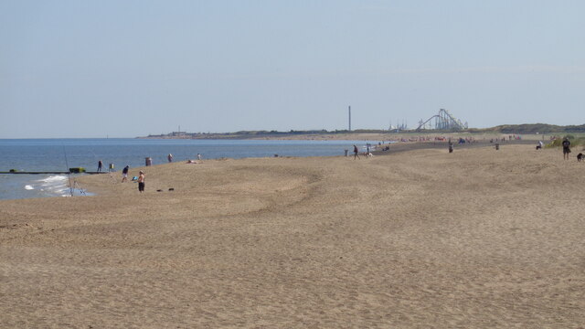
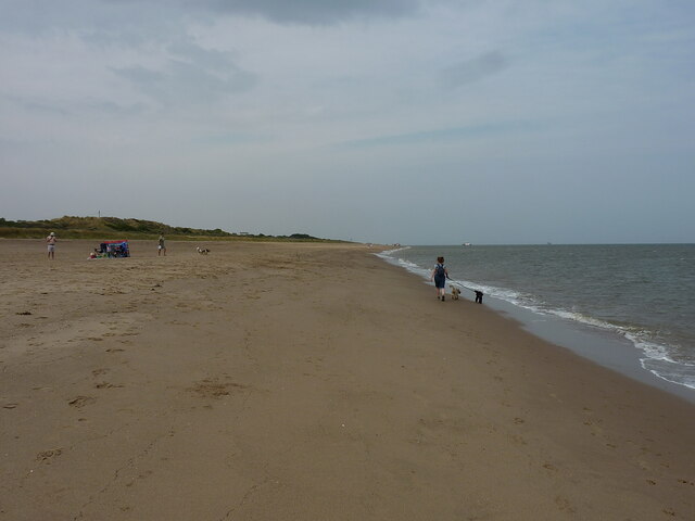
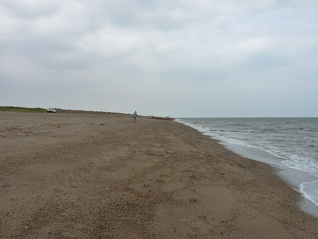
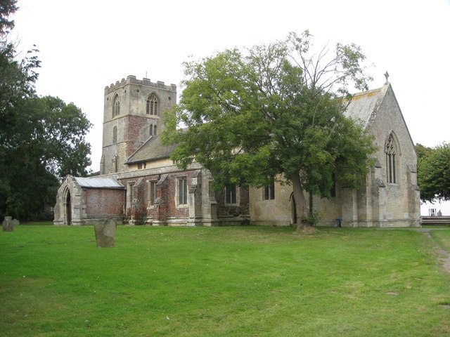
Chapel Point is a picturesque area located on the coast of Lincolnshire, England. Known for its stunning coastal marshes and saltings, this natural landscape offers a unique blend of beauty and biodiversity.
The marshes at Chapel Point are characterized by their vast expanses of salt-tolerant vegetation, including reeds, grasses, and sedges. These plants thrive in the brackish water that is a result of the area's proximity to the North Sea. The marshes are a haven for numerous bird species, including waders like lapwings, avocets, and oystercatchers, which can be observed feeding and nesting in the area. The constant ebb and flow of the tides in the North Sea contribute to the dynamic nature of the marshes, creating an ever-changing environment that is constantly shaped by the forces of nature.
Adjacent to the marshes, the saltings at Chapel Point are another significant feature of the area. Saltings are areas of land that are regularly flooded by seawater, creating a unique habitat for salt-tolerant plants and animals. The saltings at Chapel Point provide an important feeding ground for various waterfowl and waders, and they are also home to a diverse range of marine invertebrates.
Chapel Point attracts both nature enthusiasts and those seeking tranquility and natural beauty. Visitors can explore the area through various walking trails and enjoy breathtaking views of the marshes and saltings. The site is also a popular spot for birdwatching and photography, offering a chance to observe and capture the beauty of the coastal wildlife in its natural habitat.
If you have any feedback on the listing, please let us know in the comments section below.
Chapel Point Images
Images are sourced within 2km of 53.233259/0.3402953 or Grid Reference TF5673. Thanks to Geograph Open Source API. All images are credited.


Chapel Point is located at Grid Ref: TF5673 (Lat: 53.233259, Lng: 0.3402953)
Administrative County: Lincolnshire
District: East Lindsey
Police Authority: Lincolnshire
What 3 Words
///assurance.lifted.reclining. Near Chapel St Leonards, Lincolnshire
Nearby Locations
Related Wikis
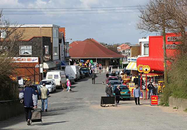
Chapel St Leonards
Chapel St. Leonards is a seaside resort village and civil parish in the East Lindsey district of Lincolnshire, England. It is situated 5 miles (8 km) north...
Hogsthorpe
Hogsthorpe is a small village in the East Lindsey district of Lincolnshire, England. It is situated approximately 2 miles (3 km) from the North Sea and...

Anderby Creek
Anderby Creek is a small holiday village in Lincolnshire, England, to the north of Skegness. Part of the parish of Anderby, it is on the North Sea coast...

Anderby
Anderby is a village and civil parish in the East Lindsey district of Lincolnshire, England. It has a population of 335, according to the 2001 Census....

Helsey
Helsey is a hamlet in the civil parish of Mumby, and the East Lindsey district of Lincolnshire, England. It lies on the A52 1 mile (1.6 km) north-east...
Addlethorpe
Addlethorpe is a small village situated just off the A52 west of Ingoldmells in the East Lindsey district of Lincolnshire, England. Addlethorpe is recorded...

2004 Ingoldmells bus crash
At around 17:00 BST on 11 April 2004, a double-decker bus was involved in a collision with a car and a number of pedestrians outside the Fantasy Island...
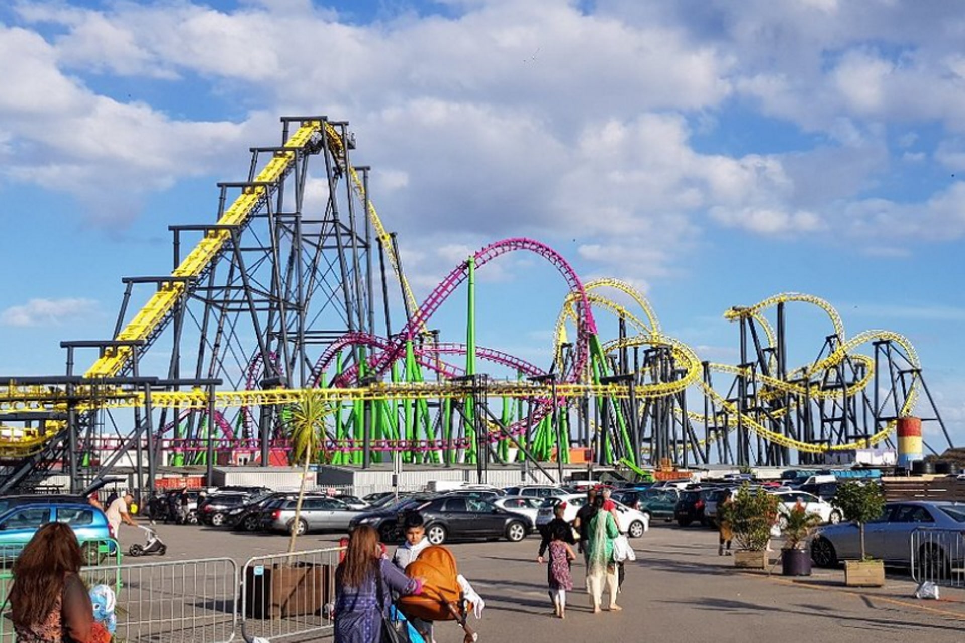
The Odyssey (UK Roller Coaster)
The Odyssey (formerly Jubilee Odyssey) is a roller coaster at Fantasy Island in Ingoldmells, England. Built by Vekoma of the Netherlands in 2002, it was...
Nearby Amenities
Located within 500m of 53.233259,0.3402953Have you been to Chapel Point?
Leave your review of Chapel Point below (or comments, questions and feedback).