Soldier's Hole
Coastal Feature, Headland, Point in Lincolnshire East Lindsey
England
Soldier's Hole
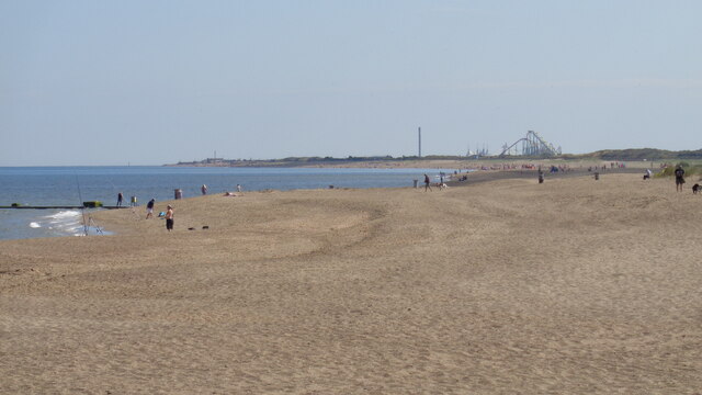
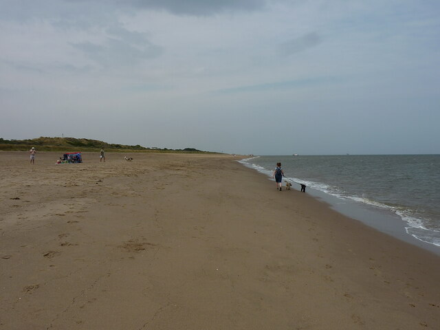
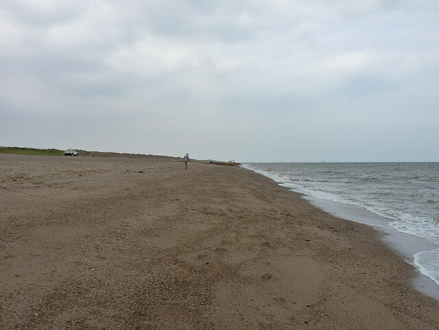
Soldier's Hole is a prominent coastal feature located in Lincolnshire, England. Situated on the eastern coast of the country, it is specifically found in the vicinity of a small village called Anderby Creek. Soldier's Hole is commonly referred to as a headland or a point due to its distinctive shape and geographical characteristics.
The headland juts out into the North Sea, forming a notable natural landmark along the Lincolnshire coastline. With its steep cliffs and rugged terrain, Soldier's Hole offers breathtaking views of the surrounding area, making it a popular destination for tourists and locals alike.
The name "Soldier's Hole" is believed to have originated from its historical significance. Legend has it that during World War II, this headland served as a lookout point for soldiers who were stationed in the area. Its strategic location provided an advantageous vantage point for monitoring the coastline and safeguarding against potential enemy invasions.
Today, Soldier's Hole is not only admired for its historical context but also for its natural beauty. The headland is home to a diverse array of flora and fauna, making it an ideal spot for nature enthusiasts. Visitors can explore the rugged cliffs, observe various seabirds nesting in the area, or simply revel in the serenity of the North Sea crashing against the rocky coastline.
Overall, Soldier's Hole in Lincolnshire is a captivating coastal feature that combines historical significance with natural beauty. Whether it be for its panoramic views, wildlife, or wartime heritage, this headland holds a special place in the hearts of those who visit it.
If you have any feedback on the listing, please let us know in the comments section below.
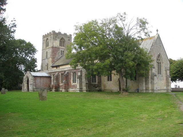
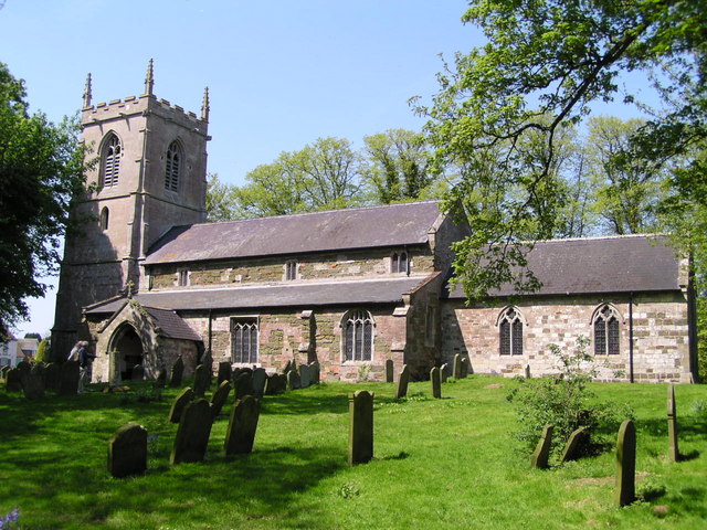
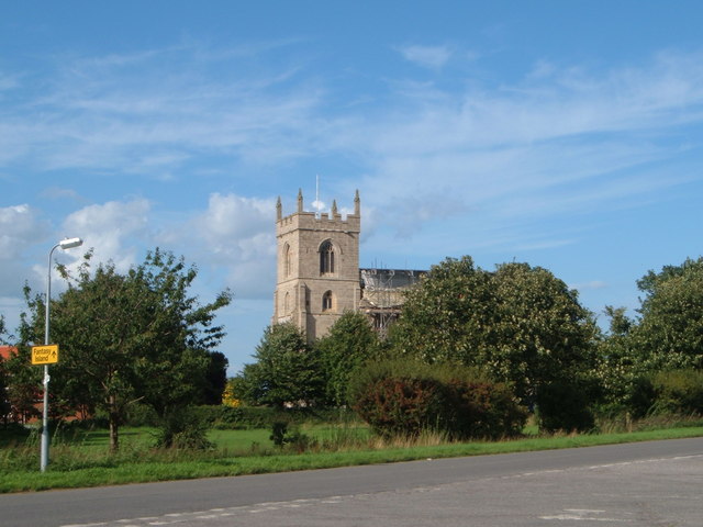
Soldier's Hole Images
Images are sourced within 2km of 53.23689/0.33758616 or Grid Reference TF5673. Thanks to Geograph Open Source API. All images are credited.


Soldier's Hole is located at Grid Ref: TF5673 (Lat: 53.23689, Lng: 0.33758616)
Administrative County: Lincolnshire
District: East Lindsey
Police Authority: Lincolnshire
What 3 Words
///luggage.encourage.patrolled. Near Chapel St Leonards, Lincolnshire
Nearby Locations
Related Wikis
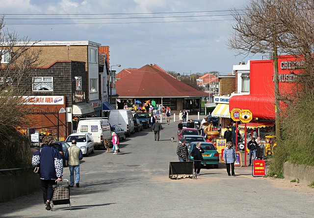
Chapel St Leonards
Chapel St. Leonards is a seaside resort village and civil parish in the East Lindsey district of Lincolnshire, England. It is situated 5 miles (8 km) north...

Anderby Creek
Anderby Creek is a small holiday village in Lincolnshire, England, to the north of Skegness. Part of the parish of Anderby, it is on the North Sea coast...
Hogsthorpe
Hogsthorpe is a small village in the East Lindsey district of Lincolnshire, England. It is situated approximately 2 miles (3 km) from the North Sea and...

Anderby
Anderby is a village and civil parish in the East Lindsey district of Lincolnshire, England. It has a population of 335, according to the 2001 Census....

Helsey
Helsey is a hamlet in the civil parish of Mumby, and the East Lindsey district of Lincolnshire, England. It lies on the A52 1 mile (1.6 km) north-east...
Mumby
Mumby is a village in the East Lindsey district of Lincolnshire, England. It is located 4 miles (6 km) south-east from the town of Alford. In 2001 the...
Addlethorpe
Addlethorpe is a small village situated just off the A52 west of Ingoldmells in the East Lindsey district of Lincolnshire, England. Addlethorpe is recorded...
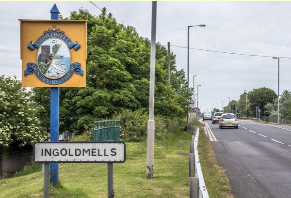
Ingoldmells
Ingoldmells ( ING-gə-melz) is a coastal village, civil parish and resort in the East Lindsey district of Lincolnshire, England. It is situated on the A52...
Nearby Amenities
Located within 500m of 53.23689,0.33758616Have you been to Soldier's Hole?
Leave your review of Soldier's Hole below (or comments, questions and feedback).