New Marsh
Coastal Marsh, Saltings in Norfolk King's Lynn and West Norfolk
England
New Marsh
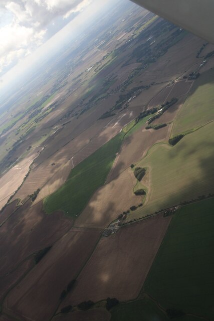
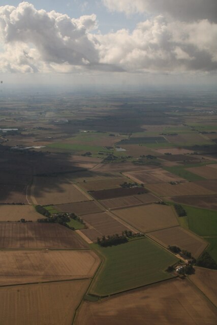
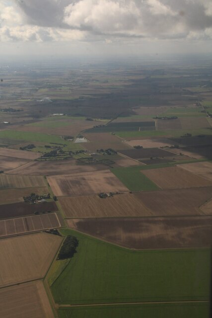
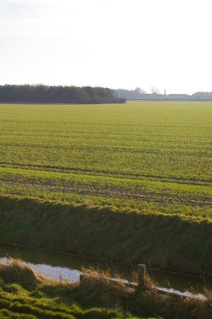
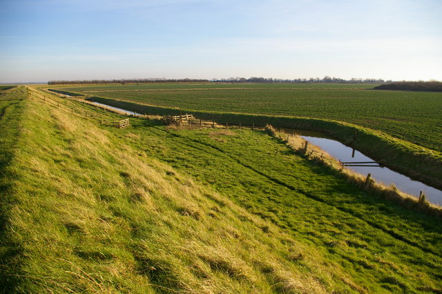
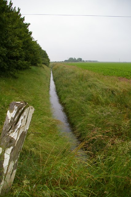
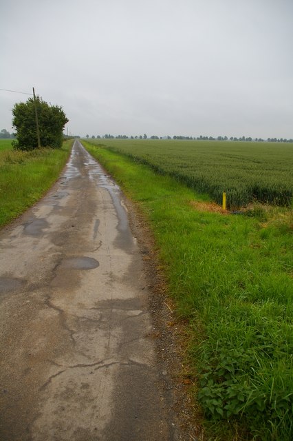
New Marsh, located in Norfolk, is a coastal marshland characterized by its vast expanse of lush vegetation and saltings. Situated along the eastern coast of England, this area is renowned for its distinctive landscape and rich biodiversity.
Covering a considerable area, New Marsh is predominantly composed of salt marshes, which are low-lying areas that are regularly flooded by the tides. These marshes are home to a diverse array of plant species, such as samphire, sea lavender, and cordgrass, which have adapted to the high salt content of the soil. The marshes also serve as vital habitats for numerous bird species, including avocets, redshanks, and marsh harriers, which can be observed in their natural environment.
In addition to its natural beauty, New Marsh plays a crucial role in protecting the surrounding coastal areas from erosion and storm surges. The marshland acts as a buffer, absorbing the impact of strong waves and reducing the risk of flooding to nearby communities. Furthermore, the marshes serve as a natural filtration system, purifying the water that flows through them and improving water quality in the region.
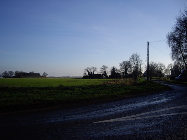
The area is a popular destination for nature enthusiasts and birdwatchers, who can explore the marshes via designated footpaths and observation points. Visitors can enjoy breathtaking views, observe wildlife in their natural habitats, and appreciate the tranquil atmosphere of this unique coastal landscape.
Overall, New Marsh in Norfolk is not only a visually stunning location but also plays a vital role in preserving the region's ecosystem and protecting against coastal erosion.
If you have any feedback on the listing, please let us know in the comments section below.
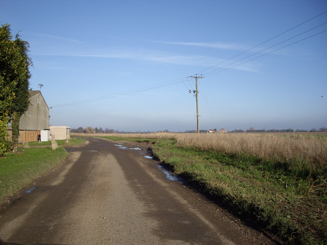
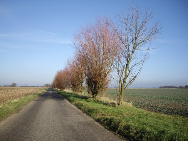
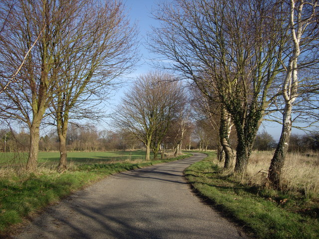
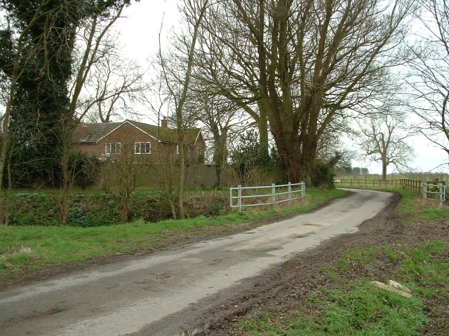
New Marsh Images
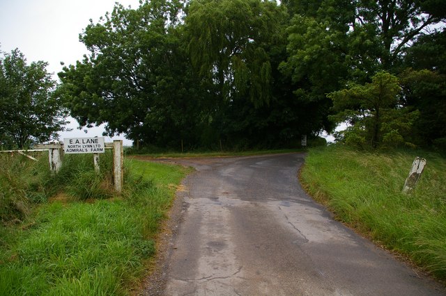
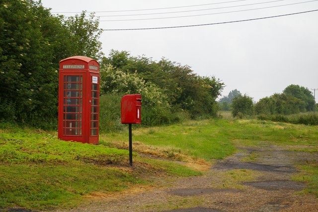
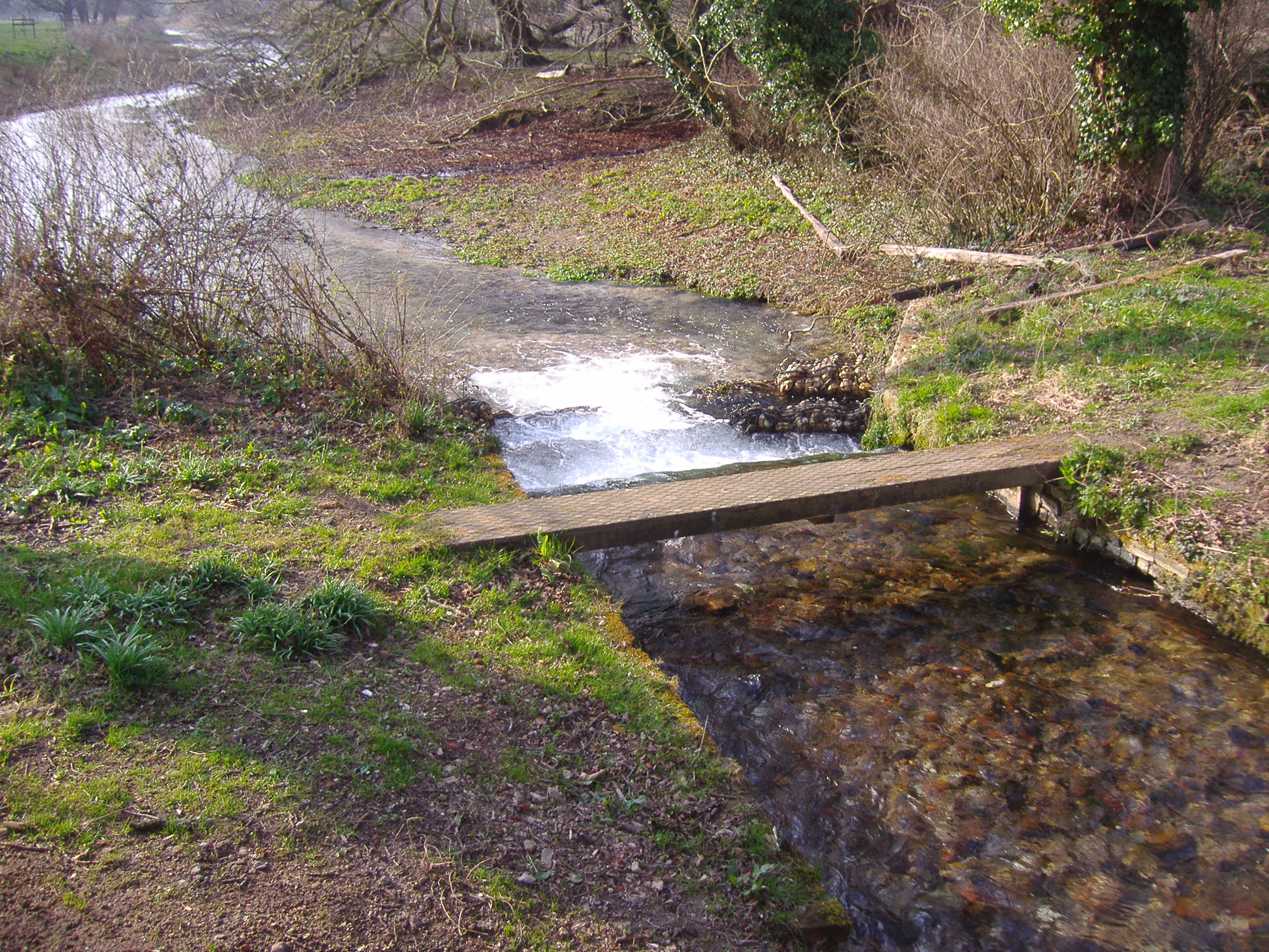
Images are sourced within 2km of 52.78922/0.31917579 or Grid Reference TF5623. Thanks to Geograph Open Source API. All images are credited.


New Marsh is located at Grid Ref: TF5623 (Lat: 52.78922, Lng: 0.31917579)
Administrative County: Norfolk
District: King's Lynn and West Norfolk
Police Authority: Norfolk
What 3 Words
///moment.shrubbery.helpers. Near Terrington St Clement, Norfolk
Nearby Locations
Related Wikis
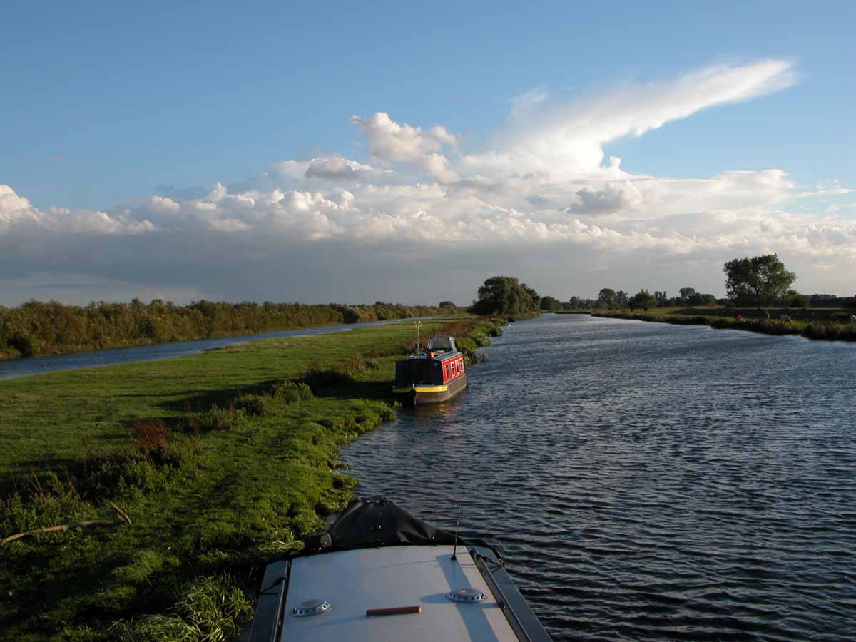
River Great Ouse
The River Great Ouse () is a river in England, the longest of several British rivers called "Ouse". From Syresham in Northamptonshire, the Great Ouse flows...

St Clement's High School
St Clement's High School is a coeducational secondary school with academy status, located in the village of Terrington St Clement, in the English county...
River Babingley
The Babingley is a minor river in the northwest of the county Norfolk in England. It runs 12.2 miles (19.6 km) from its source at the village of Flitcham...
Bellmount
Bellmount is a village in Norfolk, England.
Nearby Amenities
Located within 500m of 52.78922,0.31917579Have you been to New Marsh?
Leave your review of New Marsh below (or comments, questions and feedback).