Horseshoe Hole

Lake, Pool, Pond, Freshwater Marsh in Norfolk King's Lynn and West Norfolk

England

Horseshoe Hole

Bentinck Marsh, Terrington St Clement: aerial 2023 Terrington Marsh.
Bentinck Marsh, Terrington St Clement: aerial 2023 Credit: Chris

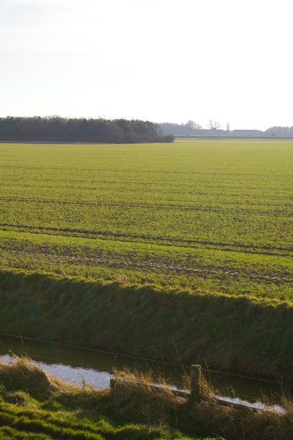
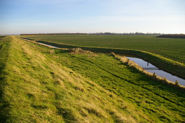
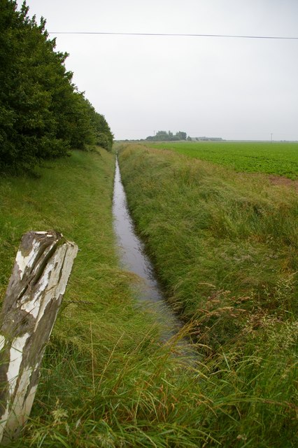
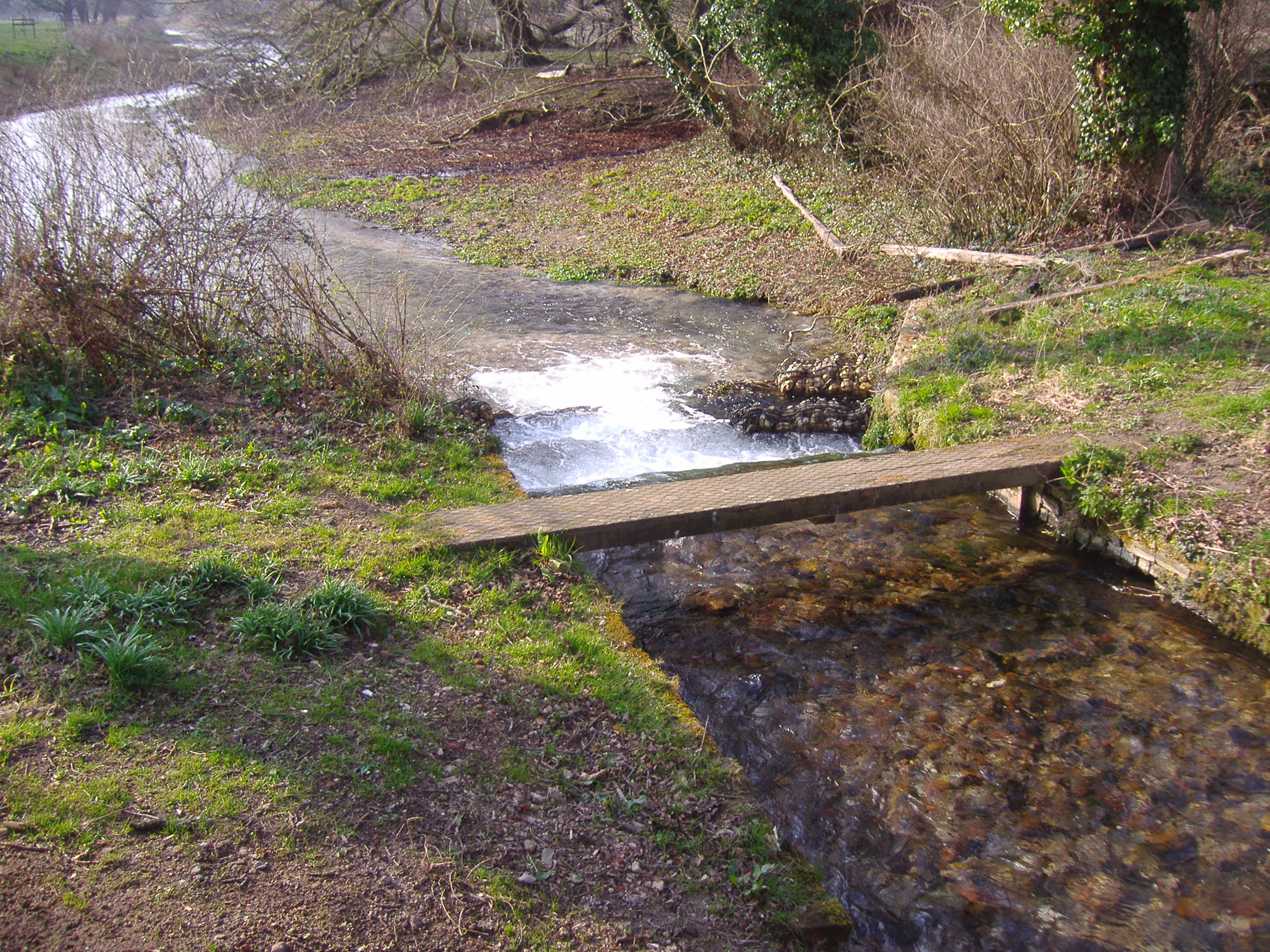
Horseshoe Hole is a picturesque freshwater marsh located in Norfolk, England. Nestled amidst the scenic countryside, it is a popular destination for nature enthusiasts and wildlife lovers. The site is characterized by its horseshoe-shaped body of water, giving it its name.

Covering an area of approximately 10 acres, Horseshoe Hole is a tranquil oasis that supports a diverse ecosystem. The marsh is primarily fed by rainwater and natural springs, ensuring a constant supply of freshwater. This creates an ideal habitat for various aquatic species, including fish, frogs, and waterfowl.

Surrounded by lush vegetation and reed beds, the marsh provides ample food and shelter for a wide range of bird species. Visitors to Horseshoe Hole can witness the graceful flight of herons, swans, and ducks, while the melodic songs of warblers and reed buntings fill the air. The marsh is also home to a variety of insect species, attracting dragonflies and butterflies that add to the area's vibrant biodiversity.

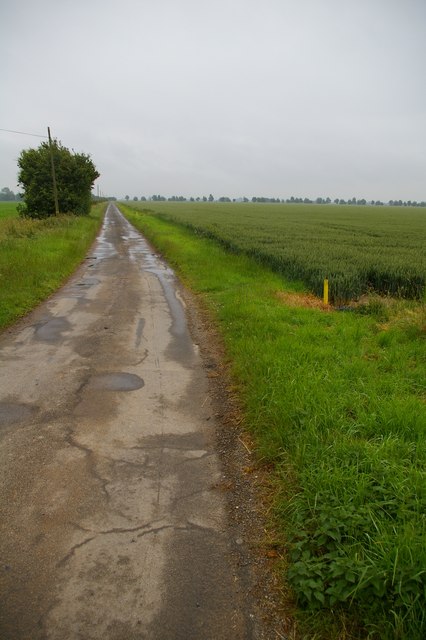
The natural beauty of Horseshoe Hole is enhanced by its tranquil atmosphere and stunning views. Visitors can explore the area by foot, following the well-maintained paths that wind through the marshland. There are also observation points and benches strategically placed to allow for wildlife spotting and peaceful reflection.

Horseshoe Hole is not only a haven for wildlife but also a valuable educational resource. Local schools and environmental organizations regularly organize field trips and educational programs to teach visitors about the importance of wetland ecosystems and their conservation.

In conclusion, Horseshoe Hole in Norfolk is a serene freshwater marsh that boasts a diverse range of flora and fauna. Its peaceful surroundings and abundant wildlife make it a cherished destination for nature enthusiasts and an important ecological site in the region.

If you have any feedback on the listing, please let us know in the comments section below.

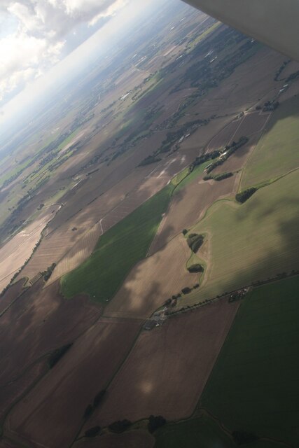
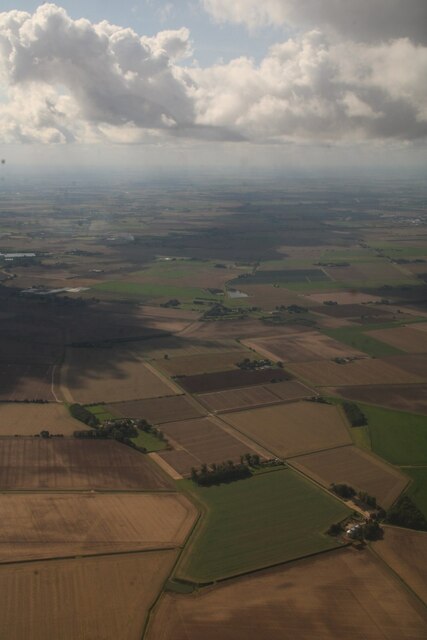
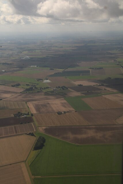
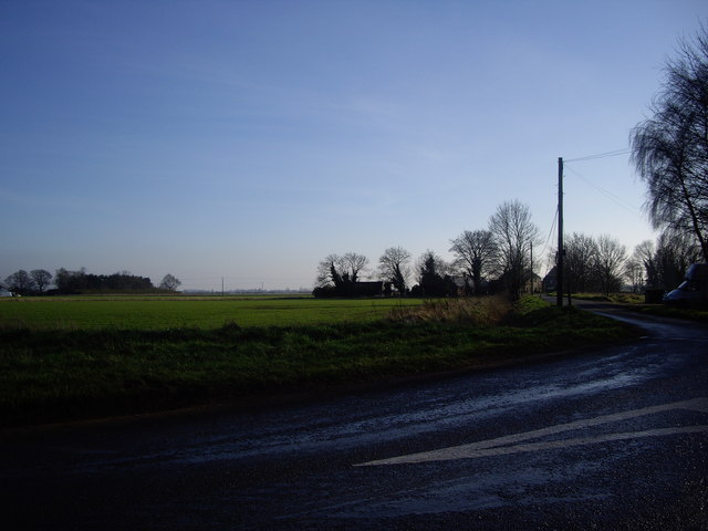
Horseshoe Hole Images

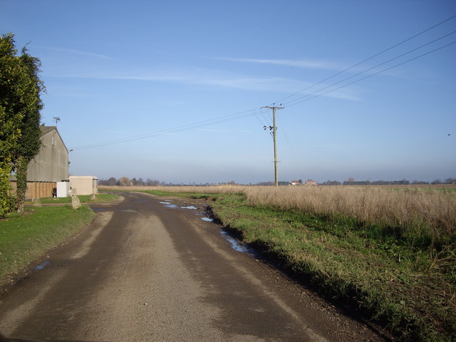
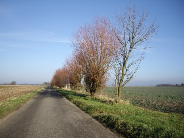
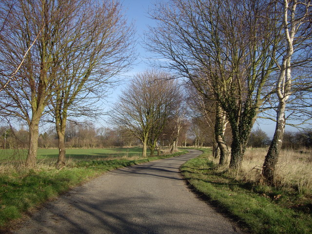
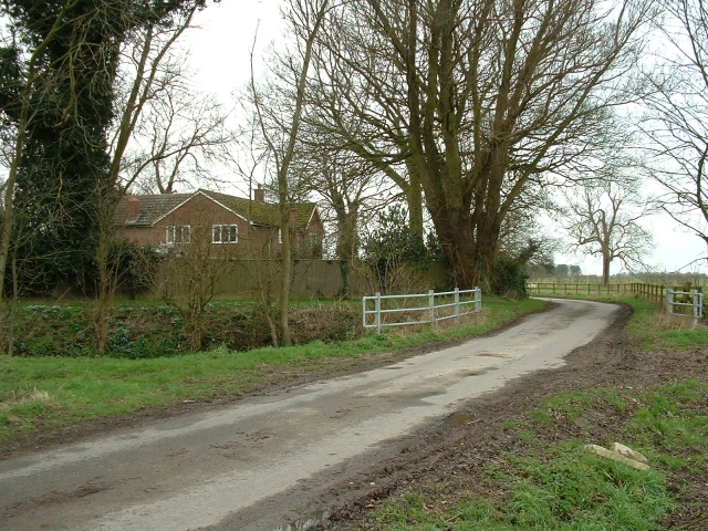
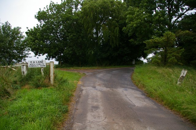
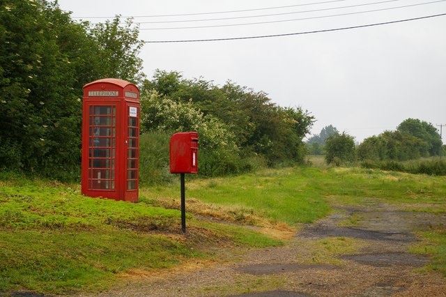
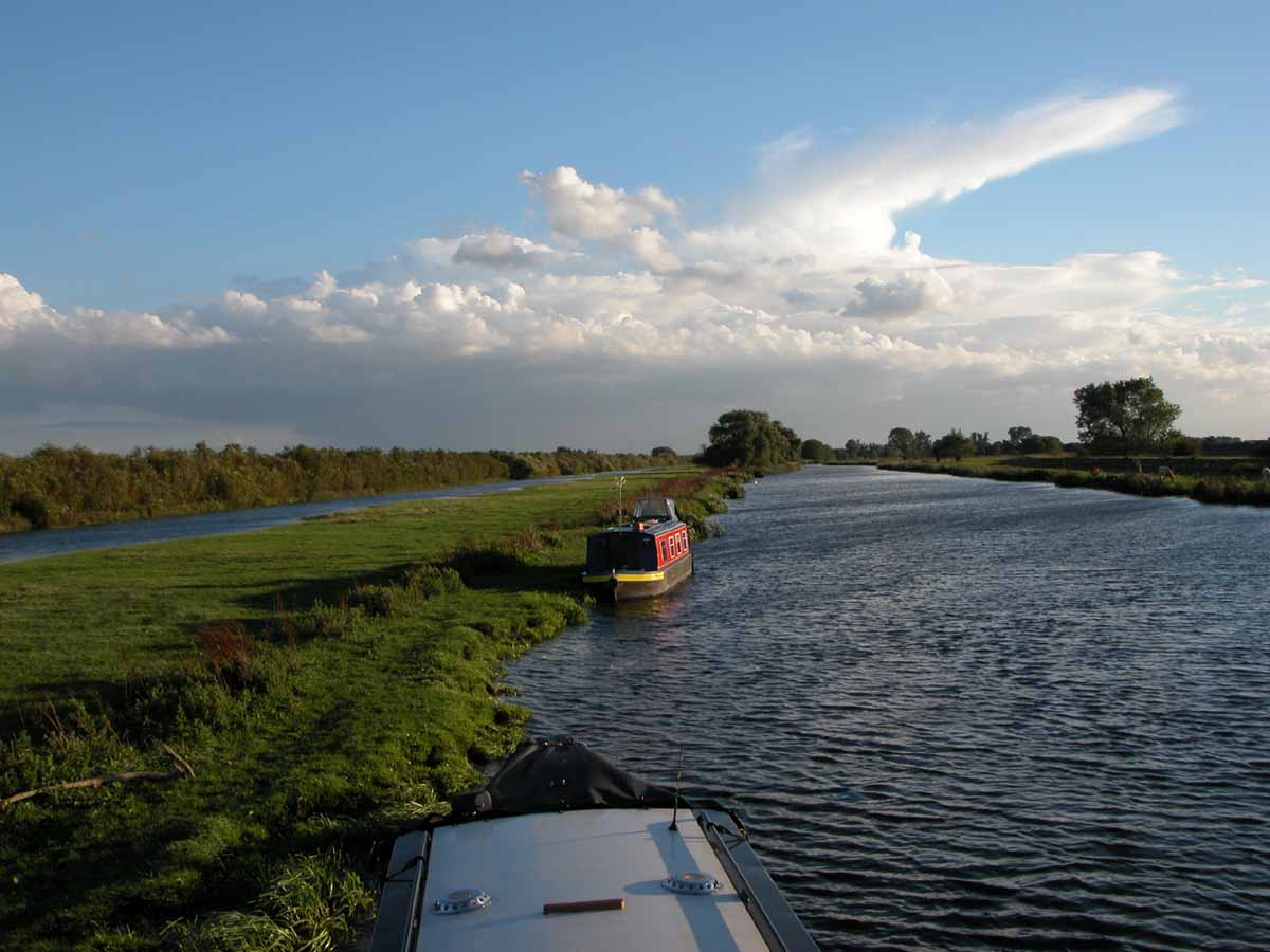
Images are sourced within 2km of 52.79144/0.31367249 or Grid Reference TF5624. Thanks to Geograph Open Source API. All images are credited.

Bentinck Marsh, Terrington St Clement: aerial 2023 Terrington Marsh.
Bentinck Marsh, Terrington St Clement: aerial 2023
Terrington Marsh.
Horsehoe Hole to Balaclava Farm, Terrington Marsh: aerial 2023 Hole is centre bottom.
Horsehoe Hole to Balaclava Farm, Terrington Marsh: aerial 2023
Hole is centre bottom.
Walker's Marsh and Silt Cottages, Terrington St Clement: aerial 2023: aerial 2023 Silt Cottages bottom left in the small triangle left of the wood.
Walker's Marsh and Silt Cottages, Terrington St Clement: aerial 2023: aerial 2023
Silt Cottages bottom left in the small triangle left of the wood.
Old New Marsh What a name for a marsh!
Old New Marsh
What a name for a marsh!
Road Near The Laurels Farm Yet again, the roads round these parts live true to their legend!
Road Near The Laurels Farm
Yet again, the roads round these parts live true to their legend!
Road Close to Pierrepont Farm Ok, so I was on a Geograph mission to get these squares! I do think these trees make a great contrast with the blue sky though!
Road Close to Pierrepont Farm
Ok, so I was on a Geograph mission to get these squares! I do think these trees make a great contrast with the blue sky though!
Road Under The Trees Towards Ongar Hill The trees really frame these narrow roads well.
Road Under The Trees Towards Ongar Hill
The trees really frame these narrow roads well.
Fern Farm, Terrington Marsh An attractive name, but modern and functional farm buildings at the end of a puddle-stewn lane deep in Terrington Marsh.
Fern Farm, Terrington Marsh
An attractive name, but modern and functional farm buildings at the end of a puddle-stewn lane deep in Terrington Marsh.
Balaclava Farm, Terrington Marsh There are several Crimean references locally, including Sebastopol House, and Alma Avenue. This is tidy modern farm on the site of an older building.
Balaclava Farm, Terrington Marsh
There are several Crimean references locally, including Sebastopol House, and Alma Avenue. This is tidy modern farm on the site of an older building.
Fenland woodland This small wooded patch stands at the edge of a large arable field.
Fenland woodland
This small wooded patch stands at the edge of a large arable field.
Kink in the drain The drain along the inside of the Sea Bank has a small kink in it at this point.  It's not obvious why.
Kink in the drain
The drain along the inside of the Sea Bank has a small kink in it at this point. It's not obvious why.
Drain near Admiral's Farm
Silt Road Silt Road leads to Admiral's Farm and almost nowhere else.
Silt Road
Silt Road leads to Admiral's Farm and almost nowhere else.
Gate to Admiral's Farm This gateway marks the end of the public road and the entrance to Admiral's Farm.
Gate to Admiral's Farm
This gateway marks the end of the public road and the entrance to Admiral's Farm.
Ongar Hill post box Ongar Hill is a small settlement with a small post box.
Ongar Hill post box
Ongar Hill is a small settlement with a small post box.
By Rhoon Road Next to the telephone box and post box, a byway leads to Green Bank Farm.  Interestingly, this post box appears in Royal Mail's list as "Marshes School".
By Rhoon Road
Next to the telephone box and post box, a byway leads to Green Bank Farm. Interestingly, this post box appears in Royal Mail's list as "Marshes School".
Rape field, Terrington Marsh Looking North-east, the inner sea bank can just be made out on the right
Rape field, Terrington Marsh
Looking North-east, the inner sea bank can just be made out on the right
Farm road crossing over an old sea bank This is one of many old sea banks made redundant by further reclamation of land from The Wash
Farm road crossing over an old sea bank
This is one of many old sea banks made redundant by further reclamation of land from The Wash
Show me another place!

Horseshoe Hole is located at Grid Ref: TF5624 (Lat: 52.79144, Lng: 0.31367249)

Administrative County: Norfolk

District: King's Lynn and West Norfolk

Police Authority: Norfolk

What 3 Words

///proud.pegs.rear. Near Terrington St Clement, Norfolk

Related Wikis

River Great Ouse

The River Great Ouse () is a river in England, the longest of several British rivers called "Ouse". From Syresham in Northamptonshire, the Great Ouse flows...

St Clement's High School

St Clement's High School is a coeducational secondary school with academy status, located in the village of Terrington St Clement, in the English county...

River Babingley

The Babingley is a minor river in the northwest of the county Norfolk in England. It runs 12.2 miles (19.6 km) from its source at the village of Flitcham...

Bellmount

Bellmount is a village in Norfolk, England.

Terrington St Clement

Terrington St Clement is a village and civil parish in King's Lynn and West Norfolk borough and district in Norfolk, England. It is in the drained marshlands...

Clenchwarton

Clenchwarton is a village, civil parish and electoral ward in the English county of Norfolk. It is located about 1+1⁄4 miles (2 km) west of the River Great...

Clenchwarton railway station

Clenchwarton Railway Station is a former train station in Clenchwarton, Norfolk. It was part of the Midland and Great Northern Joint Railway line from...

Terrington railway station

Terrington railway station is a former station in Terrington St Clement, Norfolk. It opened in 1866 and was closed in 1959. It was on the Midland and Great...

Nearby Amenities

Located within 500m of 52.79144,0.31367249
Admiral's Marsh
Place: locality
Source: Bing
Lat/Long: 52.7946594/0.3154587
Horseshoe Hole Farm
Place: farm
Source: Bing
Lat/Long: 52.7925585/0.3078942
Horseshoe Hole
Place: locality
Source: Bing
Lat/Long: 52.7913485/0.3136724
New Marsh
Place: locality
Source: Bing
Lat/Long: 52.7892791/0.3198808
The data included in this document is from www.openstreetmap.org. The data is made available under ODbL.

Have you been to Horseshoe Hole?

Leave your review of Horseshoe Hole below (or comments, questions and feedback).