Fluke Peel
Coastal Marsh, Saltings in Aberdeenshire
Scotland
Fluke Peel
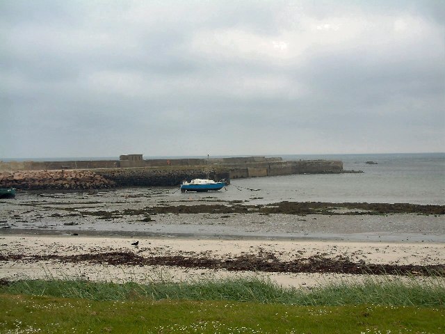
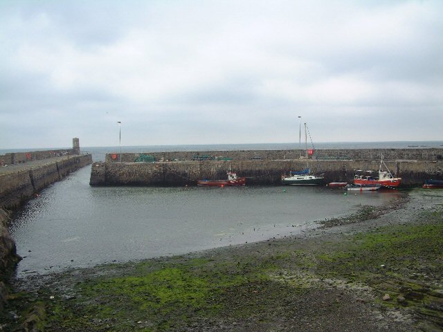
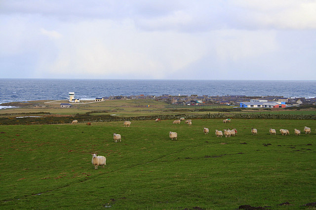
Fluke Peel is a coastal marsh located in Aberdeenshire, Scotland. This area is predominantly made up of salt marshes and saltings, which are important habitats for a variety of plant and animal species. The marshes are characterized by their muddy flats, salt-tolerant vegetation, and shallow pools of water that are influenced by the tides.
The salt marshes of Fluke Peel provide important feeding and nesting grounds for a wide range of bird species, including waders, ducks, and geese. In addition, the area supports a diverse array of plant life, such as sea lavender, samphire, and sea aster. These plants are adapted to the high levels of salt in the soil and are crucial for stabilizing the marshes and providing food and shelter for wildlife.
The marshes also play a vital role in protecting the coastline from erosion and flooding, acting as a natural buffer against storm surges and high tides. Visitors to Fluke Peel can enjoy scenic walks along the marshland, birdwatching opportunities, and the chance to observe the unique flora and fauna that call this coastal habitat home.
If you have any feedback on the listing, please let us know in the comments section below.
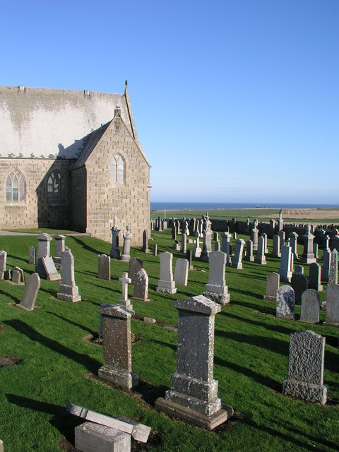
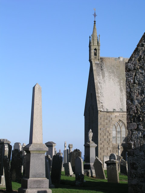
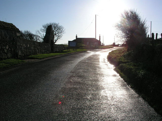
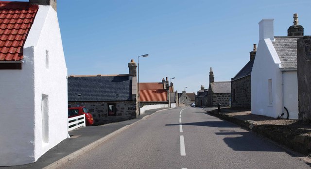
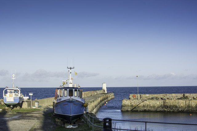
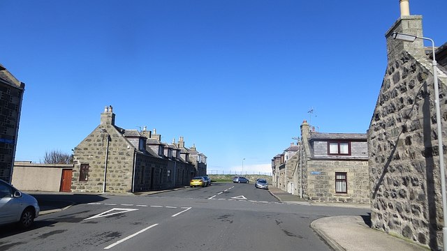
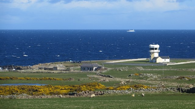
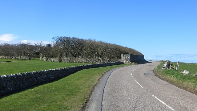
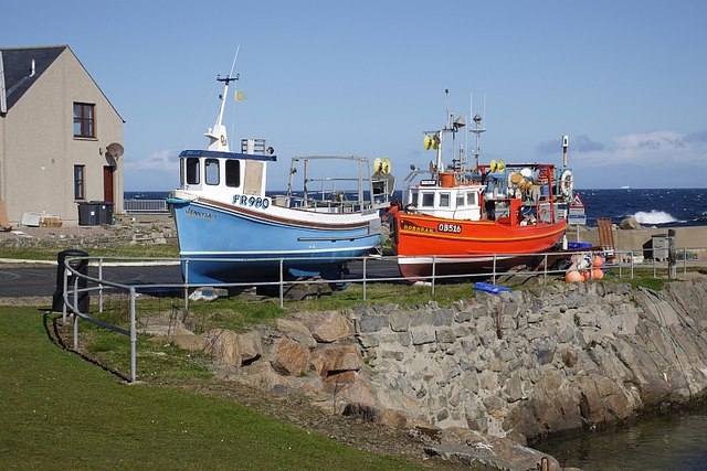
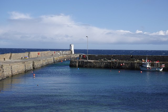
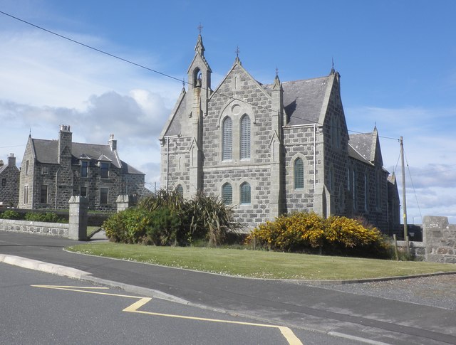
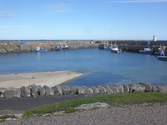
Fluke Peel Images
Images are sourced within 2km of 57.698611/-2.1015689 or Grid Reference NJ9467. Thanks to Geograph Open Source API. All images are credited.
Fluke Peel is located at Grid Ref: NJ9467 (Lat: 57.698611, Lng: -2.1015689)
Unitary Authority: Aberdeenshire
Police Authority: North East
What 3 Words
///bracelet.doses.freezing. Near Rosehearty, Aberdeenshire
Nearby Locations
Related Wikis
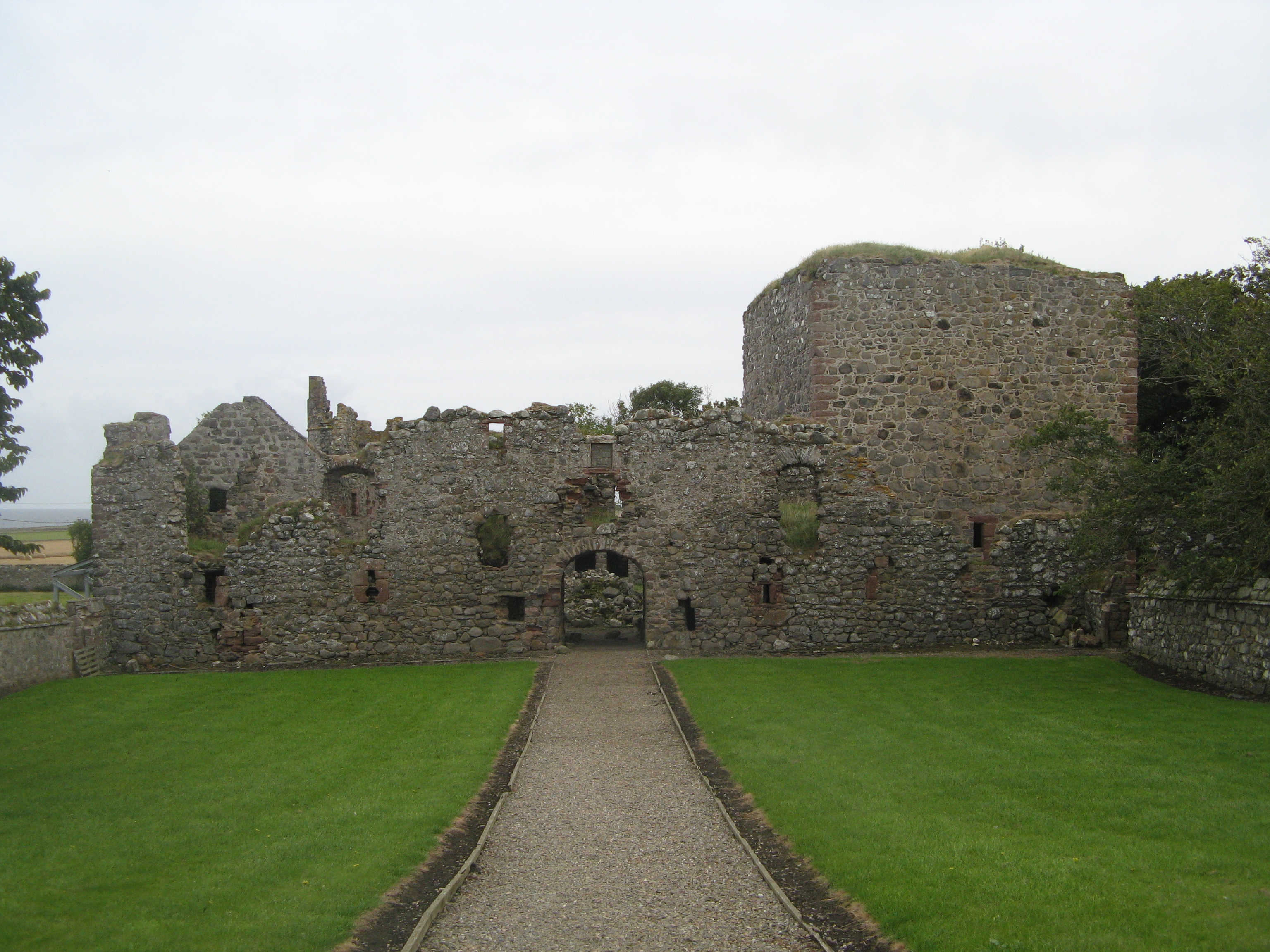
Pitsligo Castle
Pitsligo Castle is a ruined castle half a mile east of Rosehearty, Aberdeenshire, Scotland. Modified in the 1570s by the Forbes of Druminnor, it was described...

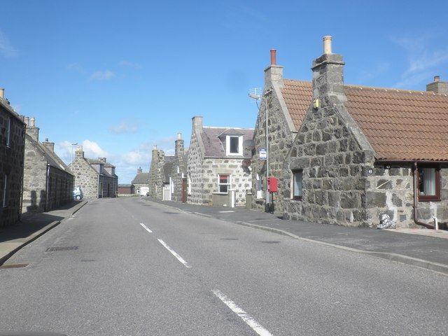
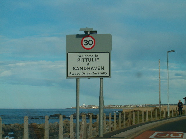
Rosehearty
Rosehearty (Scottish Gaelic: Ros Abhartaich) is a settlement on the Moray Firth coast, four miles west of the town Fraserburgh, in the historical county...

Pittulie Castle
Pittulie Castle is an oblong tower house probably dating from 1596, half a mile from Pitsligo Castle, Rosehearty, Aberdeenshire, Scotland. It is a scheduled...

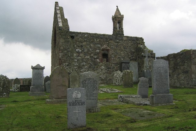
Pitsligo
Pitsligo was a coastal parish in the historic county of Aberdeenshire, Scotland, containing the fishing villages of Rosehearty, Pittulie and Sandhaven...
Related Videos

What's on the POD?#shorts #lovelyviews #holiday
Hi guys. I just want to show you the POD where we stay in for 2 nights. It's a beautiful place to visit and the views are stunning.

Fraserburgh Peathill Rosehearty
Drone footage of Peathill Cemetery Rosehearty. G & G Cruickshank Memorials Newmill Road Keith.

‘StickyTriflePodcast’ #55 (Pitullie)
55 takes us to the shores of Pitullie where 'Grandma Griggly' (Isobel Gregory) talks about how she developed a love of arts and ...

Nearby Amenities
Located within 500m of 57.698611,-2.1015689Have you been to Fluke Peel?
Leave your review of Fluke Peel below (or comments, questions and feedback).