Buck's Cove
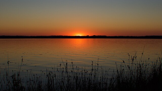
Coastal Marsh, Saltings in Dorset
England
Buck's Cove
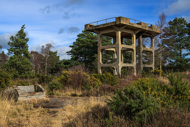
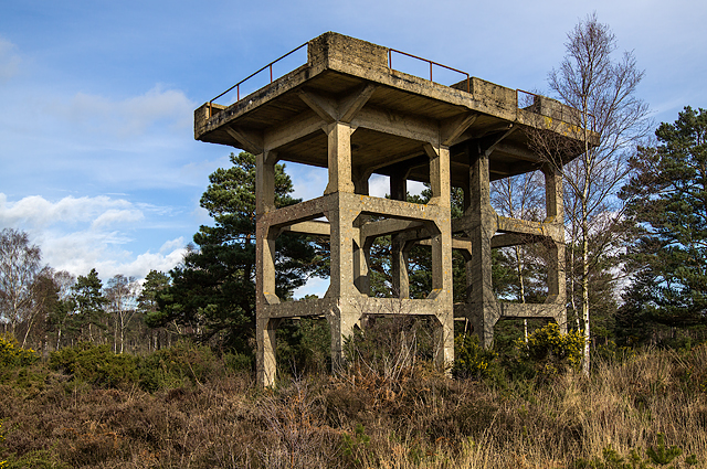
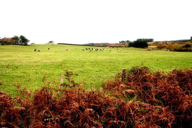
Buck's Cove, located in Dorset, is a picturesque coastal marsh nestled amidst the stunning natural beauty of the region. This idyllic cove is particularly renowned for its expansive saltings, providing visitors with a unique and diverse ecosystem to explore.
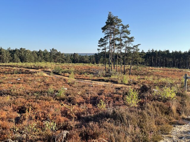
The coastal marsh of Buck's Cove is characterized by its marshy terrain, consisting of wetlands, mudflats, and salt marshes. These marshes are inundated by the tides and serve as a vital habitat for a wide range of plant and animal species. The marsh vegetation includes grasses, reeds, and salt-tolerant plants, which thrive in the brackish water.
The saltings, a prominent feature of Buck's Cove, are vast stretches of land that are exposed during low tides and flooded during high tides. These saline flats are composed of fine sediment and are home to numerous species of marine invertebrates, such as crabs, shellfish, and worms. They also attract a variety of waterfowl, including wading birds and migratory species.
Beyond its natural beauty, Buck's Cove offers visitors a chance to engage in various recreational activities. Nature enthusiasts can enjoy birdwatching, as the area attracts a plethora of avian species. The marshes are also ideal for hiking and exploring, with well-maintained trails offering breathtaking views of the surrounding landscape.
Buck's Cove, with its coastal marsh and saltings, presents a unique opportunity to witness the delicate balance of nature in a captivating coastal setting. Whether it be for scientific study, nature exploration, or simply a tranquil retreat, this hidden gem in Dorset promises to leave visitors with lasting memories of its diverse and awe-inspiring ecosystem.
If you have any feedback on the listing, please let us know in the comments section below.
Buck's Cove Images
Images are sourced within 2km of 50.695839/-2.079971 or Grid Reference SY9488. Thanks to Geograph Open Source API. All images are credited.


Buck's Cove is located at Grid Ref: SY9488 (Lat: 50.695839, Lng: -2.079971)
Unitary Authority: Dorset
Police Authority: Dorset
What 3 Words
///files.remind.format. Near Wareham, Dorset
Nearby Locations
Related Wikis

River Piddle
The River Piddle or Trent or North River is a small rural Dorset river which rises in the Dorset Downs and flows into Poole Harbour near Wareham. ��2...

Gigger's Island
Gigger's Island is an island in Poole Harbour in the English county of Dorset. The island is situated near to the Frome and Piddle rivers, near to the...

Mid Dorset and North Poole (UK Parliament constituency)
Mid Dorset and North Poole is a constituency represented in the House of Commons of the UK Parliament since 2015 by Michael Tomlinson, a Conservative....
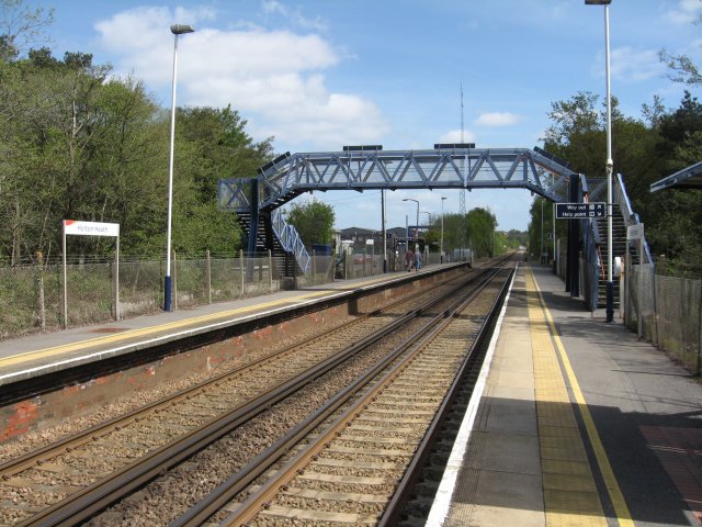
Holton Heath railway station
Holton Heath railway station serves the area of Holton Heath in Wareham St Martin, Dorset, England. It is 118 miles 61 chains (191.1 km) down the line...
Nearby Amenities
Located within 500m of 50.695839,-2.079971Have you been to Buck's Cove?
Leave your review of Buck's Cove below (or comments, questions and feedback).