The Grand
Coastal Marsh, Saltings in Orkney
Scotland
The Grand
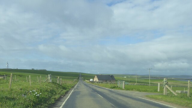
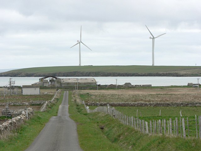
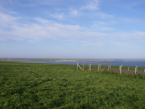
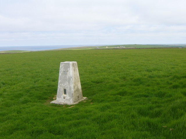
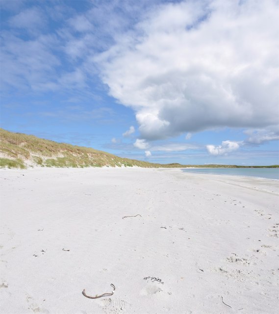
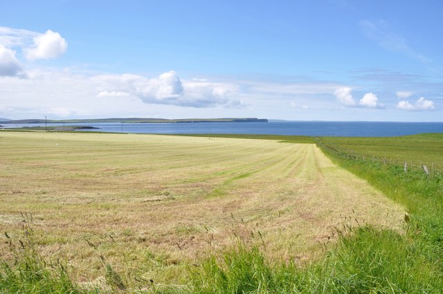
The Grand, Orkney, also known as the Coastal Marsh or Saltings, is a remarkable natural feature located in the Orkney Islands, Scotland. Spanning approximately 60 hectares, this vast coastal marshland presents a unique and diverse ecosystem.
Situated on the eastern coast of the Orkney Mainland, The Grand showcases a stunning landscape composed of mudflats, salt marshes, and sand dunes. These distinctive features are a result of the area's complex geological history, which includes glacial activity and the subsequent rise and fall of sea levels.
The marshland is an important habitat for a wide range of wildlife species, including numerous bird species, such as oystercatchers, curlews, and lapwings, which rely on the area for breeding and feeding. The mudflats are also a vital feeding ground for migratory birds, attracting thousands of them during their seasonal journeys.
Furthermore, The Grand is home to various plant species that are adapted to the harsh coastal environment. Salt-tolerant grasses and herbs flourish in the salt marshes, while sand dunes support unique vegetation, including marram grass and sea rocket.
The area is not only significant for its biological diversity but also for its geological and historical importance. The Grand has provided archaeologists with valuable insights into the lives of Neolithic and Bronze Age communities, as artifacts and structures have been found in the vicinity.
Given its ecological and cultural significance, The Grand, Orkney (Coastal Marsh, Saltings) is a site of great interest for both nature enthusiasts and researchers alike.
If you have any feedback on the listing, please let us know in the comments section below.
The Grand Images
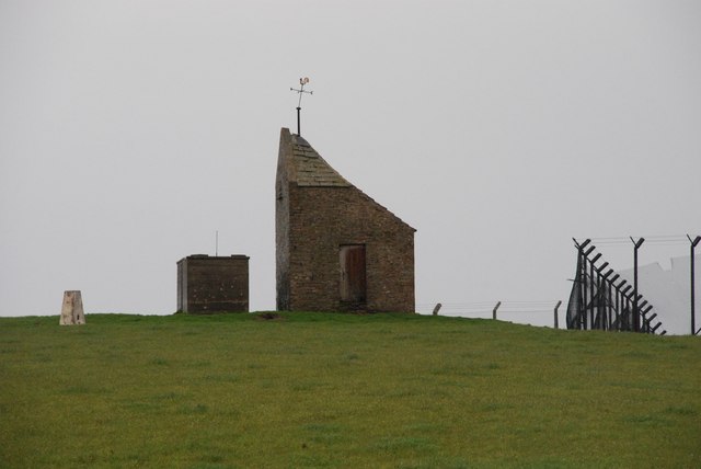
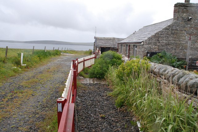
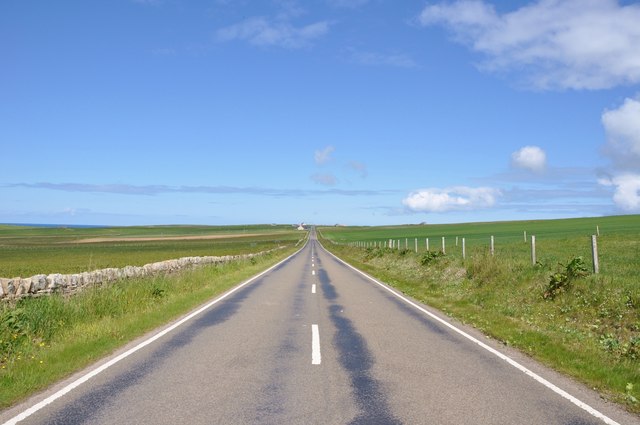
Images are sourced within 2km of 59.225695/-2.6716345 or Grid Reference HY6137. Thanks to Geograph Open Source API. All images are credited.


The Grand is located at Grid Ref: HY6137 (Lat: 59.225695, Lng: -2.6716345)
Unitary Authority: Orkney Islands
Police Authority: Highlands and Islands
What 3 Words
///thumps.enclosing.chap. Near Kettletoft, Orkney Islands
Nearby Locations
Related Wikis

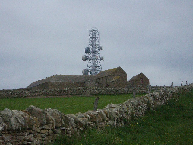
Braeswick
Braeswick is a settlement on the island of Sanday, in Orkney, Scotland. The settlement is within the parish of Cross and Burness, and is situated on the...
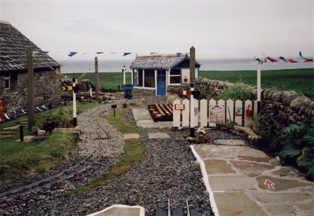
Sanday Light Railway
The Sanday Light Railway was a privately owned ridable miniature railway situated in Braeswick, on the island of Sanday, Orkney, Scotland. The railway...

Calf of Eday
The Calf of Eday (Scots: Cauf o Aidee; Old Norse: Kalfr) is an uninhabited island in Orkney, Scotland, lying north east of Eday. It is known for its wildlife...

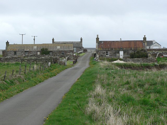
Kettletoft
Kettletoft is a settlement on the island of Sanday in Orkney, Scotland. The B9068 road runs from Kettletoft to Scar and the B9069 from Kettletoft to Northwall...
Nearby Amenities
Located within 500m of 59.225695,-2.6716345Have you been to The Grand?
Leave your review of The Grand below (or comments, questions and feedback).