Little Bar
Lake, Pool, Pond, Freshwater Marsh in Orkney
Scotland
Little Bar
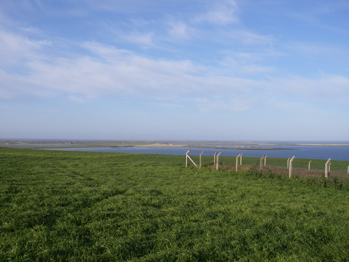
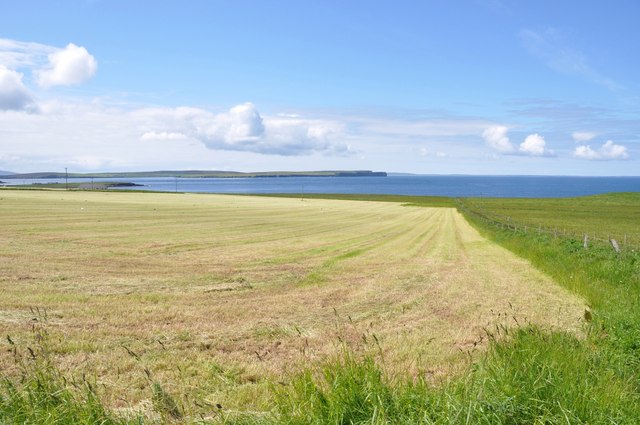
Little Bar is a small freshwater marsh located in Orkney, a group of islands situated off the northeastern coast of Scotland. The marsh is nestled amidst a scenic landscape and is characterized by its serene and tranquil atmosphere.
Covering an area of approximately 2 acres, Little Bar is a natural habitat for a diverse range of aquatic plants and wildlife. The marsh features a combination of lake, pool, and pond environments, providing a unique ecosystem that supports a variety of species. The calm, still waters are perfect for the growth of water lilies and other aquatic vegetation, which thrive in the nutrient-rich conditions of the marsh.
The marsh serves as an important breeding ground for many bird species, including waterfowl like ducks and geese. These birds are attracted to the marsh due to its abundance of food and the shelter provided by the surrounding vegetation. The presence of reeds and rushes creates a suitable habitat for many insects and invertebrates, which in turn attract birds and other wildlife to the area.
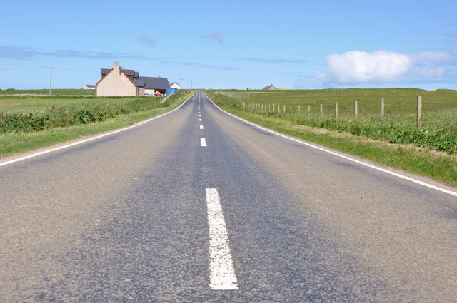
Little Bar is a popular spot for birdwatchers and nature enthusiasts, who come to observe the wide array of aquatic birds and other wildlife that call the marsh home. The marsh's peaceful setting and beautiful surroundings make it an ideal location for photography and nature walks.
Overall, Little Bar in Orkney is a small, yet ecologically important freshwater marsh that offers a unique and picturesque environment for both wildlife and nature enthusiasts alike.
If you have any feedback on the listing, please let us know in the comments section below.
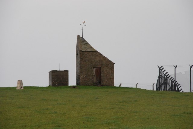
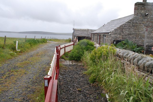
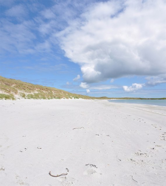
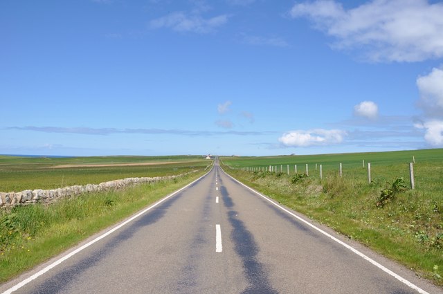
Little Bar Images
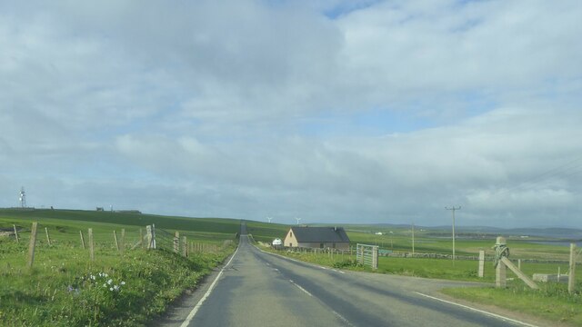
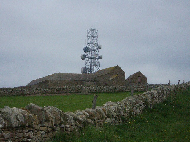
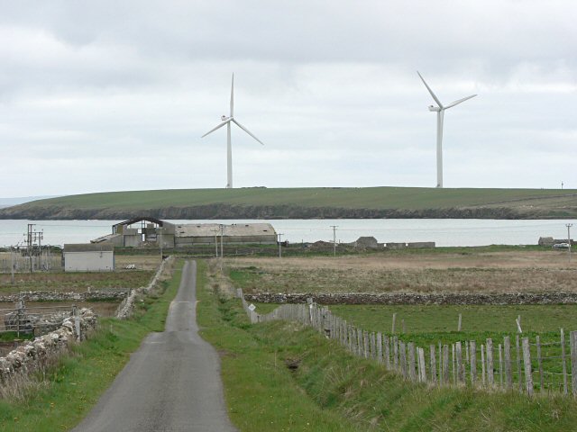
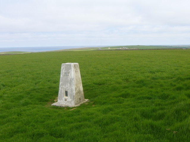
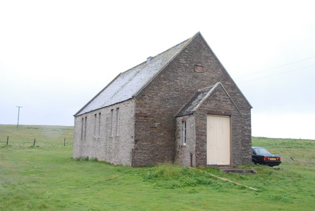
Images are sourced within 2km of 59.225734/-2.6708994 or Grid Reference HY6137. Thanks to Geograph Open Source API. All images are credited.


Little Bar is located at Grid Ref: HY6137 (Lat: 59.225734, Lng: -2.6708994)
Unitary Authority: Orkney Islands
Police Authority: Highlands and Islands
What 3 Words
///extremes.loudness.illogical. Near Kettletoft, Orkney Islands
Nearby Locations
Related Wikis

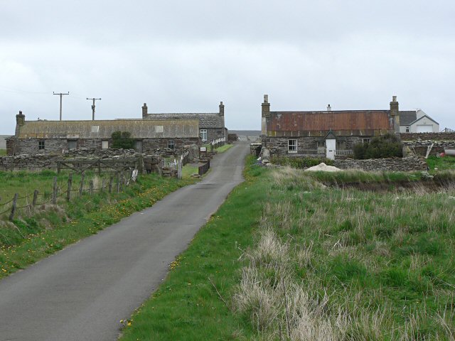
Braeswick
Braeswick is a settlement on the island of Sanday, in Orkney, Scotland. The settlement is within the parish of Cross and Burness, and is situated on the...
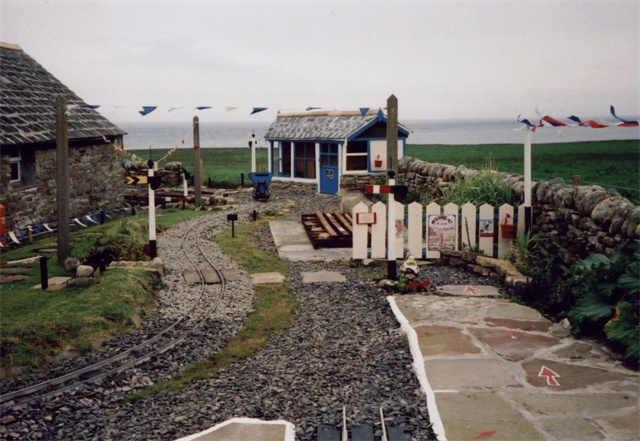
Sanday Light Railway
The Sanday Light Railway was a privately owned ridable miniature railway situated in Braeswick, on the island of Sanday, Orkney, Scotland. The railway...

Calf of Eday
The Calf of Eday (Scots: Cauf o Aidee; Old Norse: Kalfr) is an uninhabited island in Orkney, Scotland, lying north east of Eday. It is known for its wildlife...

Kettletoft
Kettletoft is a settlement on the island of Sanday in Orkney, Scotland. The B9068 road runs from Kettletoft to Scar and the B9069 from Kettletoft to Northwall...
Nearby Amenities
Located within 500m of 59.225734,-2.6708994Have you been to Little Bar?
Leave your review of Little Bar below (or comments, questions and feedback).