The Bar
Coastal Marsh, Saltings in Orkney
Scotland
The Bar
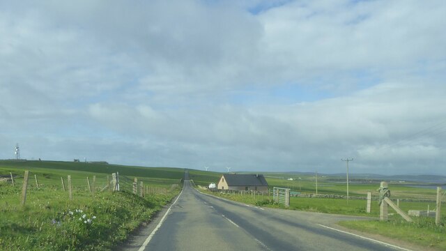
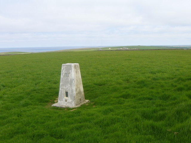
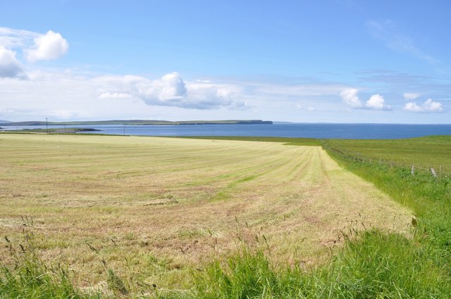
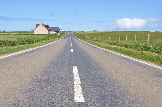
The Bar, Orkney is a coastal marsh and saltings located in the Orkney Islands of Scotland. It is situated on the eastern coast of the island of South Ronaldsay, in close proximity to the small village of St. Margaret's Hope. The Bar is renowned for its unique and diverse ecosystem, making it a popular destination for nature enthusiasts and birdwatchers.
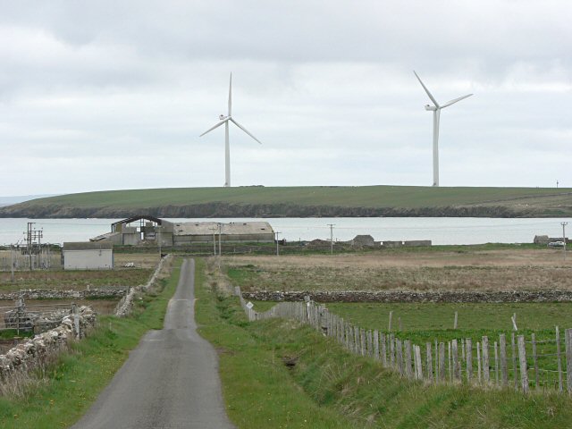
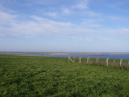
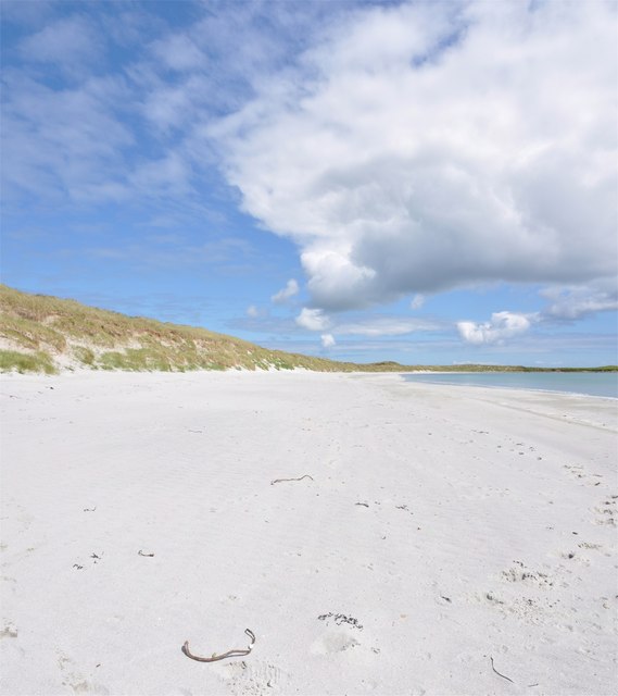
Spanning over an area of approximately 120 hectares, The Bar is primarily composed of salt marshes, mudflats, and sandbars. These features are formed by the deposition of sediment carried by tidal currents from the nearby Pentland Firth. The marshes are characterized by a wide variety of plant species that have adapted to the brackish conditions, including sea aster, sea lavender, and various types of grasses.
The Bar is especially valued for its significance as a breeding and feeding ground for numerous bird species. It is home to an array of wading birds, such as redshanks, lapwings, oystercatchers, and curlews. These birds rely on the rich food sources found in the mudflats and marshes, including small invertebrates and marine worms. The area also attracts migratory birds from afar, including sandpipers and dunlins.
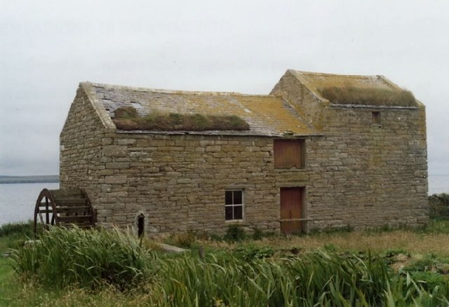
In addition to its ecological importance, The Bar holds historical significance as well. It is believed to have been utilized by humans for thousands of years, evidenced by the discovery of ancient artifacts and structures. The marshes have also played a role in local folklore and traditional practices.
Overall, The Bar, Orkney is a captivating coastal marsh and saltings that offers a diverse range of flora, fauna, and historical value.
If you have any feedback on the listing, please let us know in the comments section below.
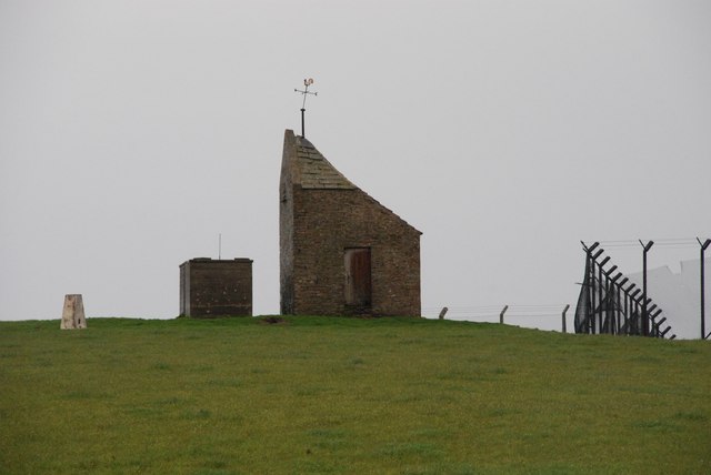
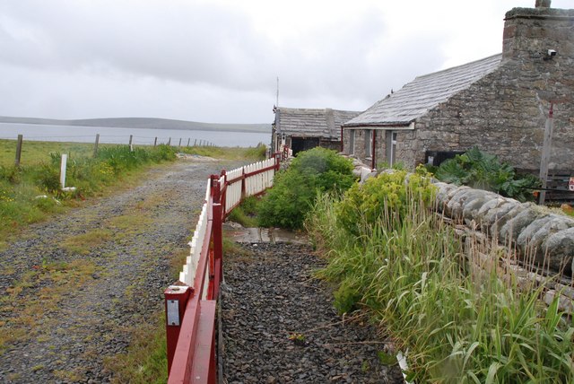
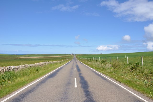
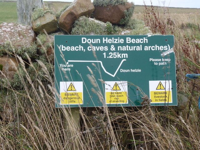
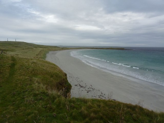
The Bar Images
Images are sourced within 2km of 59.226394/-2.6717709 or Grid Reference HY6137. Thanks to Geograph Open Source API. All images are credited.
The Bar is located at Grid Ref: HY6137 (Lat: 59.226394, Lng: -2.6717709)
Unitary Authority: Orkney Islands
Police Authority: Highlands and Islands
What 3 Words
///excavate.encodes.pushed. Near Kettletoft, Orkney Islands
Nearby Locations
Related Wikis

Braeswick
Braeswick is a settlement on the island of Sanday, in Orkney, Scotland. The settlement is within the parish of Cross and Burness, and is situated on the...
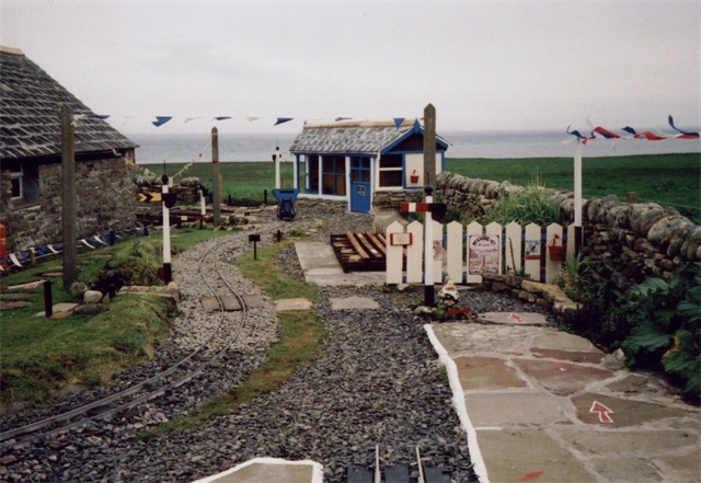
Sanday Light Railway
The Sanday Light Railway was a privately owned ridable miniature railway situated in Braeswick, on the island of Sanday, Orkney, Scotland. The railway...

Calf of Eday
The Calf of Eday (Scots: Cauf o Aidee; Old Norse: Kalfr) is an uninhabited island in Orkney, Scotland, lying north east of Eday. It is known for its wildlife...

Kettletoft
Kettletoft is a settlement on the island of Sanday in Orkney, Scotland. The B9068 road runs from Kettletoft to Scar and the B9069 from Kettletoft to Northwall...
Nearby Amenities
Located within 500m of 59.226394,-2.6717709Have you been to The Bar?
Leave your review of The Bar below (or comments, questions and feedback).