Laminess
Settlement in Orkney
Scotland
Laminess
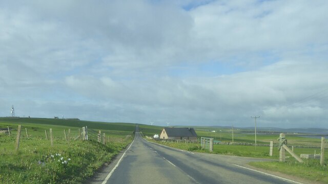
Laminess is a small residential area located on the Mainland of Orkney, an archipelago situated off the northeastern coast of Scotland. With a population of around 200 people, Laminess is a tranquil and close-knit community known for its picturesque landscapes and rich historical heritage.
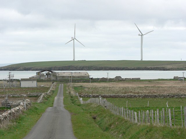
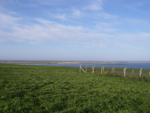
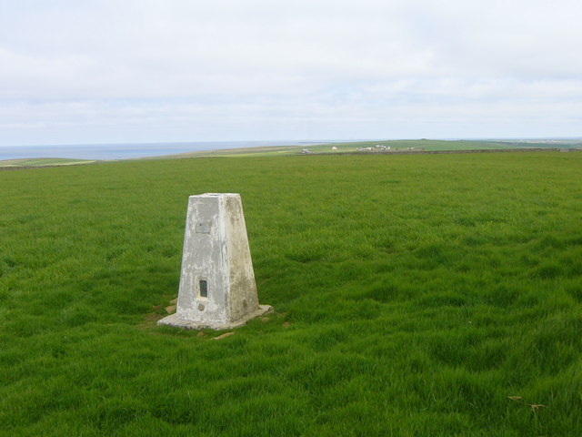
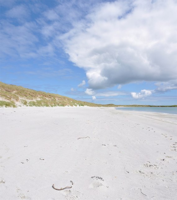
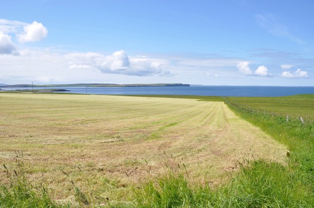
Surrounded by stunning natural beauty, Laminess offers residents and visitors breathtaking views of rolling green hills, pristine beaches, and the sparkling waters of the North Sea. The area is characterized by its rugged coastline, dotted with sea stacks and cliffs, which provide a home to various seabird species, including puffins and guillemots.
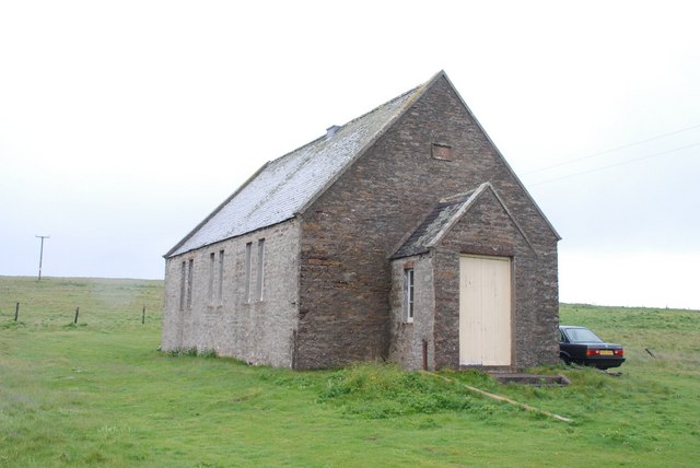
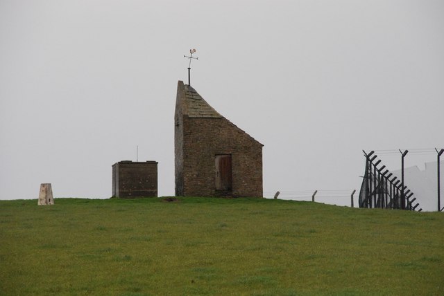
The history of Laminess can be traced back to ancient times, with archaeological sites and remnants of Neolithic settlements found in the vicinity. The area is also home to a number of historical landmarks, including the Laminess Chambered Cairn, a burial chamber dating back over 5,000 years. This ancient structure attracts visitors interested in Orkney's prehistoric past.
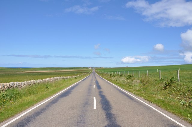
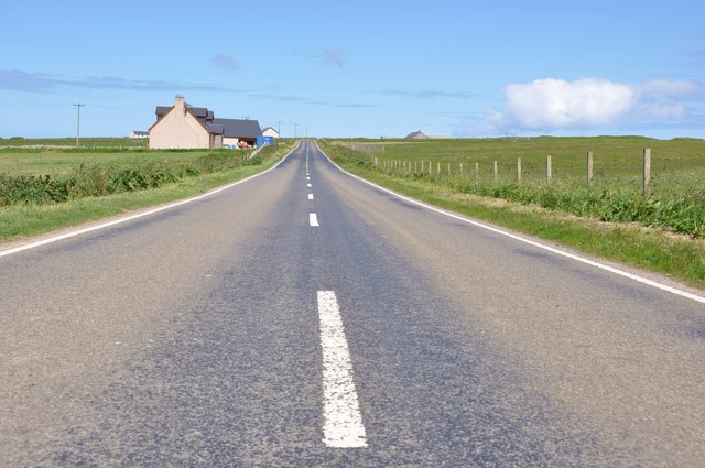
Laminess has limited amenities, with no shops or commercial establishments within the immediate vicinity. However, nearby towns such as Kirkwall, which is approximately 10 miles away, provide convenient access to a range of services, including shops, restaurants, and healthcare facilities.
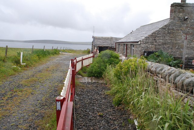
The close-knit community of Laminess enjoys a peaceful and tight-knit atmosphere, with residents taking pride in their beautiful surroundings and preserving their local heritage. The area is also popular among nature enthusiasts and those seeking a tranquil retreat away from the hustle and bustle of modern life.
If you have any feedback on the listing, please let us know in the comments section below.
Laminess Images
Images are sourced within 2km of 59.221427/-2.667535 or Grid Reference HY6137. Thanks to Geograph Open Source API. All images are credited.


Laminess is located at Grid Ref: HY6137 (Lat: 59.221427, Lng: -2.667535)
Unitary Authority: Orkney Islands
Police Authority: Highlands and Islands
What 3 Words
///wiggling.slopes.rekindle. Near Kettletoft, Orkney Islands
Nearby Locations
Related Wikis

Braeswick
Braeswick is a settlement on the island of Sanday, in Orkney, Scotland. The settlement is within the parish of Cross and Burness, and is situated on the...
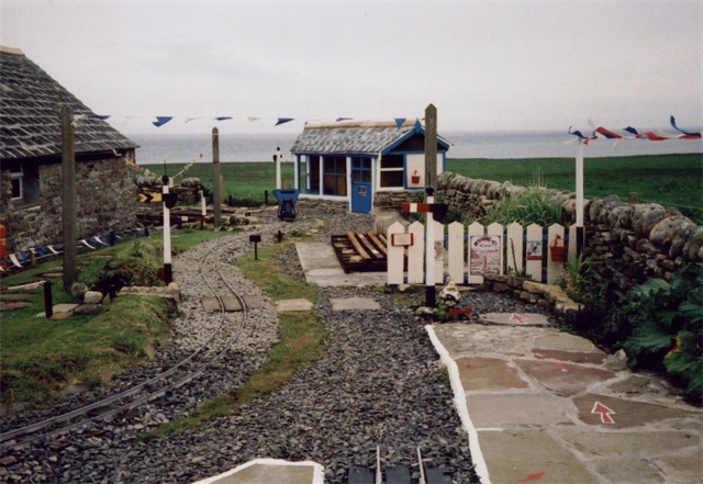
Sanday Light Railway
The Sanday Light Railway was a privately owned ridable miniature railway situated in Braeswick, on the island of Sanday, Orkney, Scotland. The railway...

Calf of Eday
The Calf of Eday (Scots: Cauf o Aidee; Old Norse: Kalfr) is an uninhabited island in Orkney, Scotland, lying north east of Eday. It is known for its wildlife...

Kettletoft
Kettletoft is a settlement on the island of Sanday in Orkney, Scotland. The B9068 road runs from Kettletoft to Scar and the B9069 from Kettletoft to Northwall...
Nearby Amenities
Located within 500m of 59.221427,-2.667535Have you been to Laminess?
Leave your review of Laminess below (or comments, questions and feedback).