Coble Shore

Coastal Marsh, Saltings in Fife

Scotland

Coble Shore

Single track road to Kincaple
Single track road to Kincaple Credit: Mark Anderson

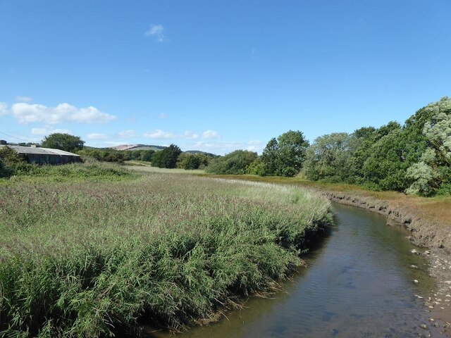
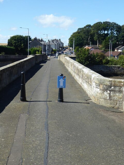
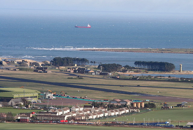
Coble Shore is a stunning coastal marsh and saltings located in Fife, Scotland. Stretching over a significant area, it is a unique and diverse ecosystem that offers a plethora of natural wonders to explore.

The marsh is characterized by its lush vegetation, consisting of various grasses, reeds, and sedges. This abundance of plant life creates a vibrant and colorful landscape, attracting a wide variety of bird species. Visitors to Coble Shore can often spot wading birds such as curlews, redshanks, and oystercatchers, as well as terns and gulls. The marsh also serves as an important nesting site for several bird species, adding to its ecological significance.

Adjacent to the marsh is the saltings, a coastal area that is regularly submerged by the tides. This unique environment supports a range of salt-tolerant plants, including samphire and sea lavender. The saltings provide a critical habitat for numerous marine organisms, such as crabs, snails, and small fish.

In addition to its ecological importance, Coble Shore offers breathtaking views of the surrounding coast. With its sandy beaches, rocky outcrops, and expansive views of the North Sea, it is a popular destination for nature enthusiasts and photographers alike.

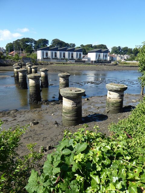
Coble Shore also has a rich cultural history. The area was historically used for fishing and coble boat building, hence its name. Today, remnants of the boat-building industry can still be seen, adding an intriguing historical dimension to the site.

Overall, Coble Shore in Fife is a remarkable coastal marsh and saltings, boasting a diverse range of plant and animal life, stunning natural beauty, and fascinating cultural heritage. It is a must-visit destination for anyone seeking a unique and enriching experience in nature.

If you have any feedback on the listing, please let us know in the comments section below.
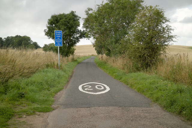
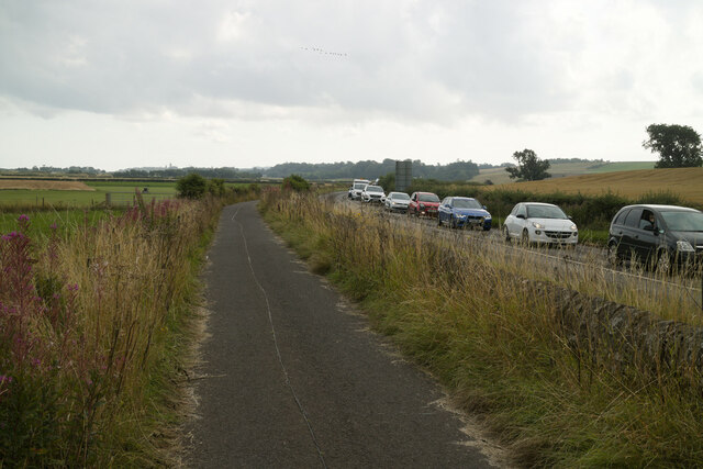
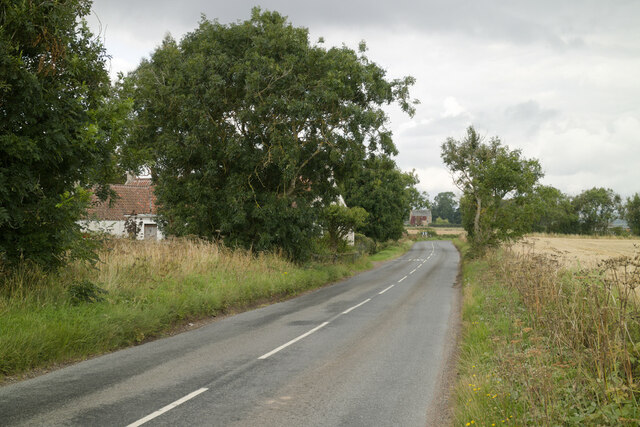
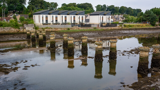
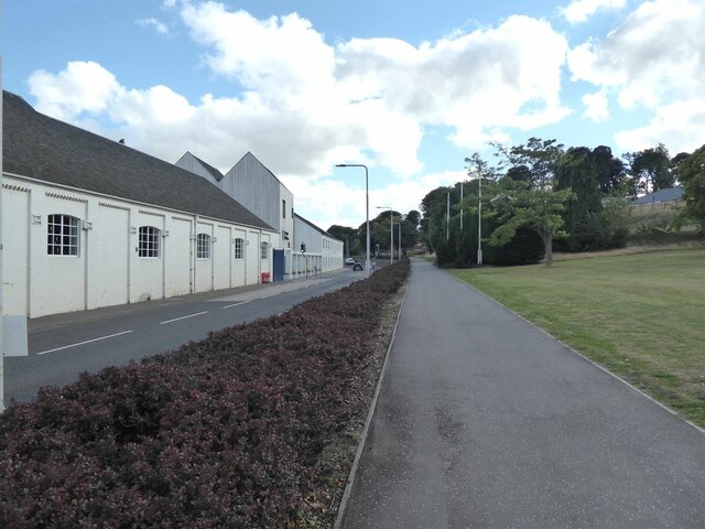
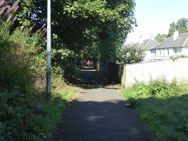
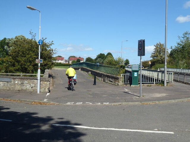
Coble Shore Images

Images are sourced within 2km of 56.364253/-2.8638374 or Grid Reference NO4619. Thanks to Geograph Open Source API. All images are credited.

Single track road to Kincaple
Fife Coastal Path near Kincaple The stationary traffic on the A91 was due to road works at Guardbridge.
Fife Coastal Path near Kincaple
The stationary traffic on the A91 was due to road works at Guardbridge.
West Third and the road to Kincaple
Old Railway Bridge over the River Eden (Closed 1969)
Eden Campus The Eden Campus of St Andrews University occupies the premises of the former Curtis Fine Papers mill which went into administration in 2008. Since 2016 the site has been developed by the University as an innovation, research and development centre. It incorporates a large biomass plant and it is planned in the future to house spin-off high-tech businesses.

To the left is a cycle-and-pedestrian path which is followed by both National Cycle Network route 1 and the Fife Coastal Path.

The A919 runs between the path and the buildings.
Eden Campus
The Eden Campus of St Andrews University occupies the premises of the former Curtis Fine Papers mill which went into administration in 2008. Since 2016 the site has been developed by the University as an innovation, research and development centre. It incorporates a large biomass plant and it is planned in the future to house spin-off high-tech businesses. To the left is a cycle-and-pedestrian path which is followed by both National Cycle Network route 1 and the Fife Coastal Path. The A919 runs between the path and the buildings.
Eden Campus The Eden Campus of St Andrews University occupies the premises of the former Curtis Fine Papers mill which went into administration in 2008. Since 2016 the site has been developed by the University as an innovation, research and development centre. It incorporates a large biomass plant and it is planned in the future to house spin-off high-tech businesses.

To the right is a cycle-and-pedestrian path which is followed by both National Cycle Network route 1 and the Fife Coastal Path.

The A919 runs between the path and the buildings.
Eden Campus
The Eden Campus of St Andrews University occupies the premises of the former Curtis Fine Papers mill which went into administration in 2008. Since 2016 the site has been developed by the University as an innovation, research and development centre. It incorporates a large biomass plant and it is planned in the future to house spin-off high-tech businesses. To the right is a cycle-and-pedestrian path which is followed by both National Cycle Network route 1 and the Fife Coastal Path. The A919 runs between the path and the buildings.
Cycle path in Guardbridge The cycle-and-pedestrian path which runs behind Ashgrove Terrace on Main Street, Guardbridge is followed by both National Cycle Network route 1 and the Fife Coastal Path.
Cycle path in Guardbridge
The cycle-and-pedestrian path which runs behind Ashgrove Terrace on Main Street, Guardbridge is followed by both National Cycle Network route 1 and the Fife Coastal Path.
Old bridge  over the Mottray Water The old bridge, later replaced by more modern bridge to the right which carries the A919, is followed by both National Cycle Network route 1 and the Fife Coastal Path.
Old bridge over the Mottray Water
The old bridge, later replaced by more modern bridge to the right which carries the A919, is followed by both National Cycle Network route 1 and the Fife Coastal Path.
The Mottray Water A tributary of the River Eden. Looking upstream from the old bridge.
The Mottray Water
A tributary of the River Eden. Looking upstream from the old bridge.
The original Guard Bridge This bridge over the River Eden has now been replaced by a modern bridge carrying the A91 a few metres upstream. The bridge is used by both National Cycle Network route 1 and the Fife Coastal Path.
The original Guard Bridge
This bridge over the River Eden has now been replaced by a modern bridge carrying the A91 a few metres upstream. The bridge is used by both National Cycle Network route 1 and the Fife Coastal Path.
The Guardbridge Inn
The Guardbridge Inn
Piers of the old railway bridge over the River Eden The railway ran from Leuchars to St Andrews and was operational from 1852 to 1969. Modern houses on the far bank strike a discordant note.
Piers of the old railway bridge over the River Eden
The railway ran from Leuchars to St Andrews and was operational from 1852 to 1969. Modern houses on the far bank strike a discordant note.
The Green at Guardbridge The tarmac path carries both  National Cycle Network route 1 and the Fife Coastal Path.
The Green at Guardbridge
The tarmac path carries both National Cycle Network route 1 and the Fife Coastal Path.
Guardbridge Inn
Guardbridge Inn
Bridges crossing the River Eden at Guardbridge On the right is the 15th-century six-arched bridge built by Bishop Henry Wardlaw.
On the left is the three-span concrete bridge built in 1938, it carries the A91 across the River Eden.
Bridges crossing the River Eden at Guardbridge
On the right is the 15th-century six-arched bridge built by Bishop Henry Wardlaw. On the left is the three-span concrete bridge built in 1938, it carries the A91 across the River Eden.
Stone circular pillars from the old Railway bridge This bridge carried the Leuchars-St Andrews-Crail branch line of the North British Railway across the River Eden at Guardbridge. The line was closed in 1969.
Stone circular pillars from the old Railway bridge
This bridge carried the Leuchars-St Andrews-Crail branch line of the North British Railway across the River Eden at Guardbridge. The line was closed in 1969.
A919 Main Street in Guardbridge On the right is Walter Bower House, part of the University of St Andrews.
A919 Main Street in Guardbridge
On the right is Walter Bower House, part of the University of St Andrews.
Path on the New Bridge This concrete bridge carries the A919 road over the Motray Water at Inner Bridge.
Path on the New Bridge
This concrete bridge carries the A919 road over the Motray Water at Inner Bridge.
Show me another place!

Coble Shore is located at Grid Ref: NO4619 (Lat: 56.364253, Lng: -2.8638374)

Unitary Authority: Fife

Police Authority: Fife

What 3 Words

///vessel.wrenching.less. Near Leuchars, Fife

Related Wikis

River Eden, Fife

The River Eden is a river in Fife in Scotland, and is one of Fife's two principal rivers, along with the Leven. It is nearly 30 miles (48 km) long and...

Leuchars Station

Leuchars Station (IATA: ADX, ICAO: EGQL) is a British Army installation located in Leuchars, Fife, on the east coast of Scotland, near to the historic...

RAF Leuchars

Royal Air Force Leuchars or more simply RAF Leuchars (IATA: ADX, ICAO: EGQL) is a former Royal Air Force station located in Leuchars, Fife, on the east...

St Andrews Rail Link

The St Andrews Rail Link (StARLink) Campaign was established in 1989 with the aim of reconnecting Scottish town of St Andrews to the railway. The historical...

Nearby Amenities

Located within 500m of 56.364253,-2.8638374
Created By: almien_coastlines
Lat/Long: 56.360421/-2.867781
Barrier: kissing_gate
Lat/Long: 56.3604092/-2.8657319
The data included in this document is from www.openstreetmap.org. The data is made available under ODbL.

Have you been to Coble Shore?

Leave your review of Coble Shore below (or comments, questions and feedback).