Sand Ford Head

Coastal Marsh, Saltings in Fife

Scotland

Sand Ford Head

Railway bridge remnants, Guardbridge Remnants of the old railway bridge over the River Eden at Guardbridge.
Railway bridge remnants, Guardbridge Credit: Scott Cormie

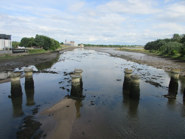
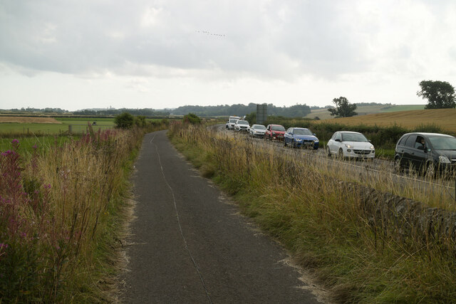
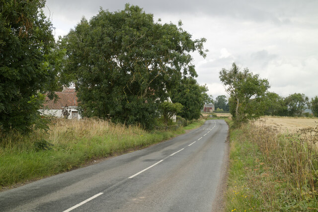
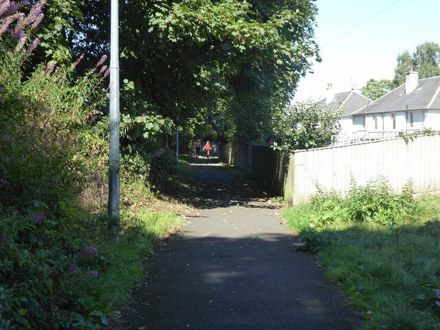
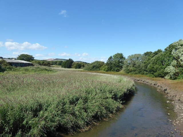
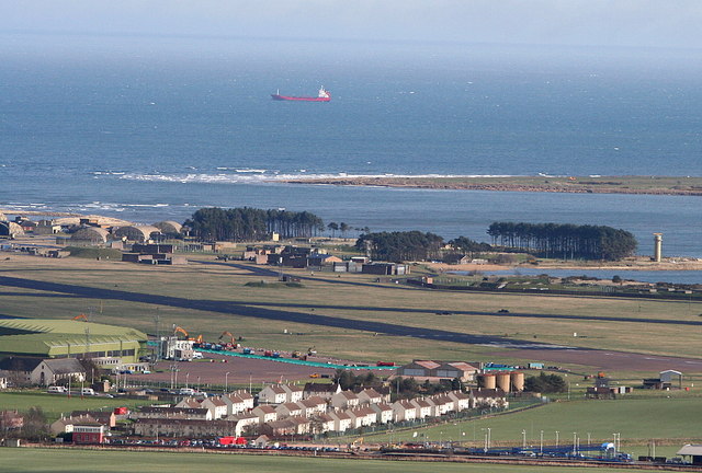
Sand Ford Head is a coastal marsh located in Fife, Scotland. Situated along the eastern coast of Scotland, this area is renowned for its unique and diverse ecosystem. The marsh is characterized by vast stretches of sandy beaches, dunes, and saltings, making it an important habitat for various plant and animal species.

The sandy beaches of Sand Ford Head provide nesting grounds for a variety of coastal birds, including seagulls, oystercatchers, and terns. These birds can often be seen darting across the shoreline or perched on the dunes, adding to the picturesque scenery of the area.

The dunes at Sand Ford Head are an essential feature of the marsh. These natural formations act as a barrier, protecting the land from erosion caused by the relentless waves of the North Sea. The dunes are also home to several species of grasses, herbs, and wildflowers, which contribute to the overall biodiversity of the area.

Saltings, or salt marshes, are another prominent feature of Sand Ford Head. These marshy areas are characterized by their high salt content, making them uniquely adapted for specific plant species. Saltings provide a crucial habitat for salt-tolerant plants, such as samphire and sea lavender, as well as various invertebrates and birds.

Sand Ford Head is not only a haven for wildlife but also a popular destination for outdoor enthusiasts. The sandy beaches offer opportunities for beachcombing, picnicking, and sunbathing, while the dunes provide excellent hiking trails with panoramic views of the surrounding coastline.

Overall, Sand Ford Head is a remarkable coastal marsh that showcases the beauty and importance of Scotland's diverse natural landscapes.

If you have any feedback on the listing, please let us know in the comments section below.

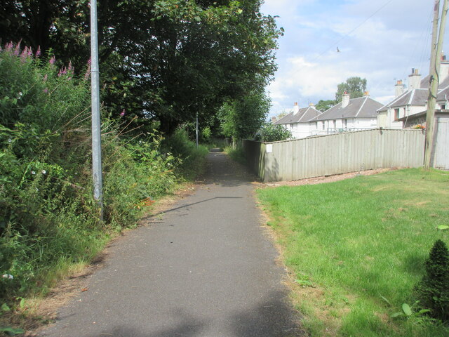
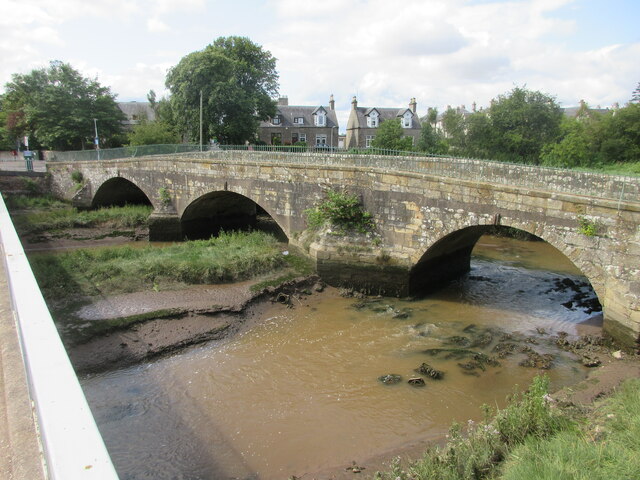
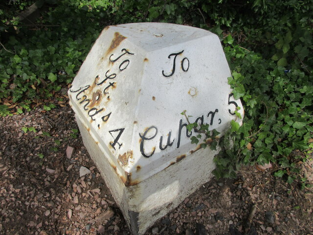
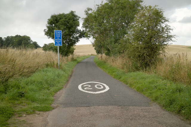
Sand Ford Head Images

Images are sourced within 2km of 56.363922/-2.8674719 or Grid Reference NO4619. Thanks to Geograph Open Source API. All images are credited.

Railway bridge remnants, Guardbridge Remnants of the old railway bridge over the River Eden at Guardbridge.
Railway bridge remnants, Guardbridge
Remnants of the old railway bridge over the River Eden at Guardbridge.
Old Guardbridge The 1419 built Guardbridge, now used by pedestrians, viewed from the 1938 replacement over the River Eden.
Old Guardbridge
The 1419 built Guardbridge, now used by pedestrians, viewed from the 1938 replacement over the River Eden.
A919 heading for Guardbridge The A919 heading southwards into Guardbridge from Leuchars.
A919 heading for Guardbridge
The A919 heading southwards into Guardbridge from Leuchars.
A91 Milestone at Guardbridge Milestone with cast-iron cap, on the north side of the A91 to the west of Guardbridge.
A91 Milestone at Guardbridge
Milestone with cast-iron cap, on the north side of the A91 to the west of Guardbridge.
Fife Coastal Path at Guardbridge The Fife Coastal Path heading north through Guardbridge.
Fife Coastal Path at Guardbridge
The Fife Coastal Path heading north through Guardbridge.
Inner Bridge The now pedestrianised Inner Bridge at Guardbridge, viewed from the A919 bridge over the Motray Water.
Inner Bridge
The now pedestrianised Inner Bridge at Guardbridge, viewed from the A919 bridge over the Motray Water.
Milestone at Guardbridge Close-up of the A91 milestone to the west of Guardbridge.
Milestone at Guardbridge
Close-up of the A91 milestone to the west of Guardbridge.
Single track road to Kincaple
Fife Coastal Path near Kincaple The stationary traffic on the A91 was due to road works at Guardbridge.
Fife Coastal Path near Kincaple
The stationary traffic on the A91 was due to road works at Guardbridge.
West Third and the road to Kincaple
Old Railway Bridge over the River Eden (Closed 1969)
Eden Campus The Eden Campus of St Andrews University occupies the premises of the former Curtis Fine Papers mill which went into administration in 2008. Since 2016 the site has been developed by the University as an innovation, research and development centre. It incorporates a large biomass plant and it is planned in the future to house spin-off high-tech businesses.

To the left is a cycle-and-pedestrian path which is followed by both National Cycle Network route 1 and the Fife Coastal Path.

The A919 runs between the path and the buildings.
Eden Campus
The Eden Campus of St Andrews University occupies the premises of the former Curtis Fine Papers mill which went into administration in 2008. Since 2016 the site has been developed by the University as an innovation, research and development centre. It incorporates a large biomass plant and it is planned in the future to house spin-off high-tech businesses. To the left is a cycle-and-pedestrian path which is followed by both National Cycle Network route 1 and the Fife Coastal Path. The A919 runs between the path and the buildings.
Eden Campus The Eden Campus of St Andrews University occupies the premises of the former Curtis Fine Papers mill which went into administration in 2008. Since 2016 the site has been developed by the University as an innovation, research and development centre. It incorporates a large biomass plant and it is planned in the future to house spin-off high-tech businesses.

To the right is a cycle-and-pedestrian path which is followed by both National Cycle Network route 1 and the Fife Coastal Path.

The A919 runs between the path and the buildings.
Eden Campus
The Eden Campus of St Andrews University occupies the premises of the former Curtis Fine Papers mill which went into administration in 2008. Since 2016 the site has been developed by the University as an innovation, research and development centre. It incorporates a large biomass plant and it is planned in the future to house spin-off high-tech businesses. To the right is a cycle-and-pedestrian path which is followed by both National Cycle Network route 1 and the Fife Coastal Path. The A919 runs between the path and the buildings.
Cycle path in Guardbridge The cycle-and-pedestrian path which runs behind Ashgrove Terrace on Main Street, Guardbridge is followed by both National Cycle Network route 1 and the Fife Coastal Path.
Cycle path in Guardbridge
The cycle-and-pedestrian path which runs behind Ashgrove Terrace on Main Street, Guardbridge is followed by both National Cycle Network route 1 and the Fife Coastal Path.
Old bridge  over the Mottray Water The old bridge, later replaced by more modern bridge to the right which carries the A919, is followed by both National Cycle Network route 1 and the Fife Coastal Path.
Old bridge over the Mottray Water
The old bridge, later replaced by more modern bridge to the right which carries the A919, is followed by both National Cycle Network route 1 and the Fife Coastal Path.
The Mottray Water A tributary of the River Eden. Looking upstream from the old bridge.
The Mottray Water
A tributary of the River Eden. Looking upstream from the old bridge.
The original Guard Bridge This bridge over the River Eden has now been replaced by a modern bridge carrying the A91 a few metres upstream. The bridge is used by both National Cycle Network route 1 and the Fife Coastal Path.
The original Guard Bridge
This bridge over the River Eden has now been replaced by a modern bridge carrying the A91 a few metres upstream. The bridge is used by both National Cycle Network route 1 and the Fife Coastal Path.
The Guardbridge Inn
The Guardbridge Inn
Show me another place!

Sand Ford Head is located at Grid Ref: NO4619 (Lat: 56.363922, Lng: -2.8674719)

Unitary Authority: Fife

Police Authority: Fife

What 3 Words

///scarves.abacus.scratches. Near Leuchars, Fife

Related Wikis

Leuchars Station

Leuchars Station (IATA: ADX, ICAO: EGQL) is a British Army installation located in Leuchars, Fife, on the east coast of Scotland, near to the historic...

RAF Leuchars

Royal Air Force Leuchars or more simply RAF Leuchars (IATA: ADX, ICAO: EGQL) is a former Royal Air Force station located in Leuchars, Fife, on the east...
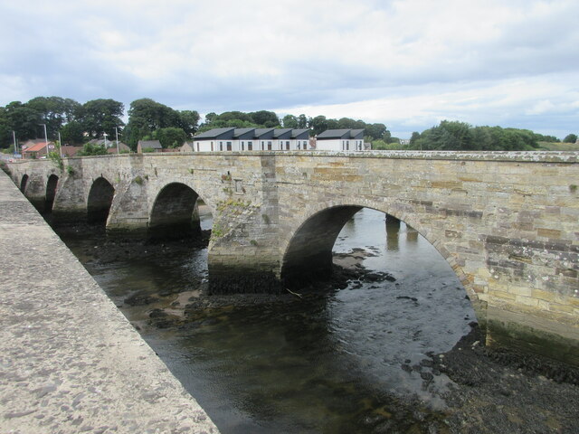
River Eden, Fife

The River Eden is a river in Fife in Scotland, and is one of Fife's two principal rivers, along with the Leven. It is nearly 30 miles (48 km) long and...

St Andrews Rail Link

The St Andrews Rail Link (StARLink) Campaign was established in 1989 with the aim of reconnecting Scottish town of St Andrews to the railway. The historical...

Guardbridge

Guardbridge (Scots: Gairbrig) is a village in the north-east of Fife, on the east coast of Scotland. It is approximately 3 miles (5 km) north-west of St...

Guardbridge railway station

Guardbridge railway station served the village of Guardbridge, Fife, Scotland from 1862 to 1965 on The St. Andrews Railway. == History == The station opened...

Eden Mill St Andrews distillery

Eden Mill St Andrews is a specialist independent Scotch whisky distillery and microbrewery and based in Guardbridge, Scotland, about 3 miles (5 km) north...

Earlshall Castle

Earlshall Castle is a restored 16th century courtyard castle, near Leuchars Station about 1⁄2 mile (800 metres) east of Leuchars, Fife, ScotlandIt has...

Nearby Amenities

Located within 500m of 56.363922,-2.8674719
Created By: almien_coastlines
Lat/Long: 56.360421/-2.867781
Created By: almien_coastlines
Lat/Long: 56.360166/-2.868243
Created By: almien_coastlines
Lat/Long: 56.35991/-2.869166
Barrier: kissing_gate
Lat/Long: 56.3604092/-2.8657319
The data included in this document is from www.openstreetmap.org. The data is made available under ODbL.

Have you been to Sand Ford Head?

Leave your review of Sand Ford Head below (or comments, questions and feedback).