Hesta
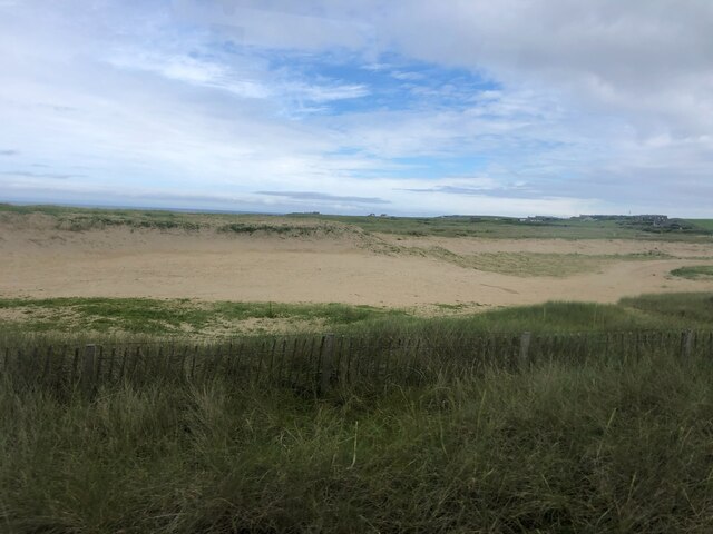
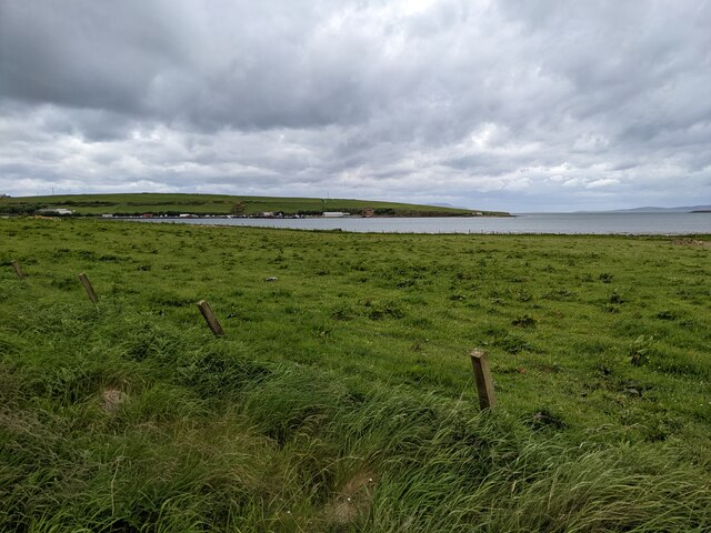
Coastal Marsh, Saltings in Orkney
Scotland
Hesta
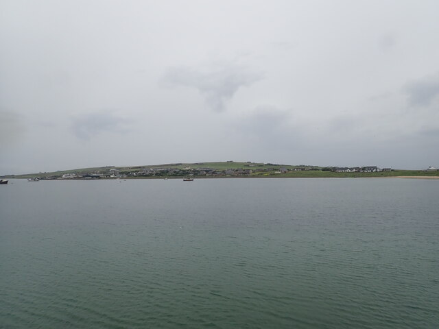
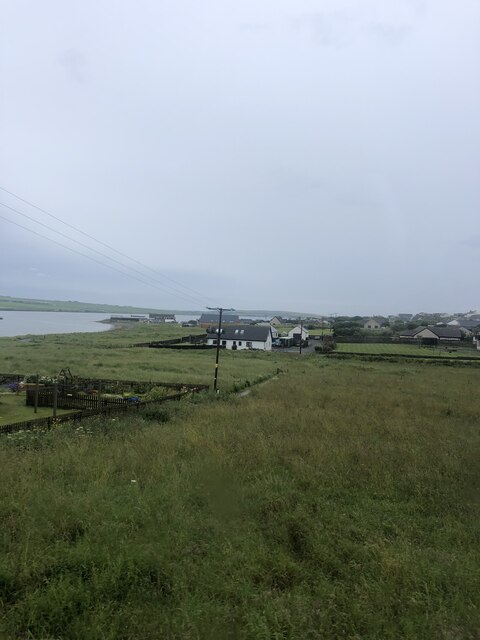
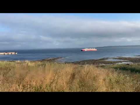
Hesta, located in the Orkney archipelago, is a coastal marsh and saltings area renowned for its unique ecological characteristics. Situated on the northeastern coast of Mainland Orkney, Hesta encompasses a diverse range of habitats including salt marshes, mudflats, sand dunes, and coastal grasslands.
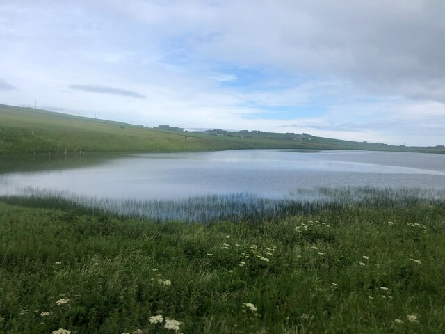
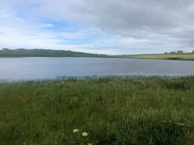
The area is characterized by its extensive salt marsh, which is submerged during high tide and reveals a complex network of channels and creeks during low tide. These marshes provide a vital habitat for a variety of plant and animal species. The salt-tolerant vegetation, such as sea aster, sea lavender, and saltmarsh grasses, thrives in this saline environment.
Hesta is a haven for numerous bird species, attracting both resident and migratory birds throughout the year. Common sights include wading birds like curlews, oystercatchers, and redshanks, as well as ducks, geese, and swans. The marshes also support a diverse range of invertebrates, including snails, crabs, and worms, which form an essential food source for many birds.
The area is not only significant for its ecological value but also holds cultural and historical importance. The nearby Skara Brae, a Neolithic settlement, is a UNESCO World Heritage site, offering visitors a glimpse into the region's ancient past.
Hesta, Orkney's coastal marsh and saltings, provides a breathtaking landscape where visitors can immerse themselves in the unique sights and sounds of a diverse ecosystem, while also appreciating the rich cultural heritage of the surrounding area.
If you have any feedback on the listing, please let us know in the comments section below.
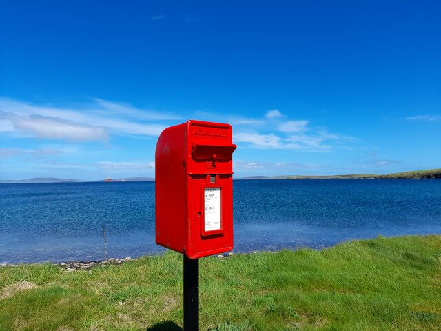
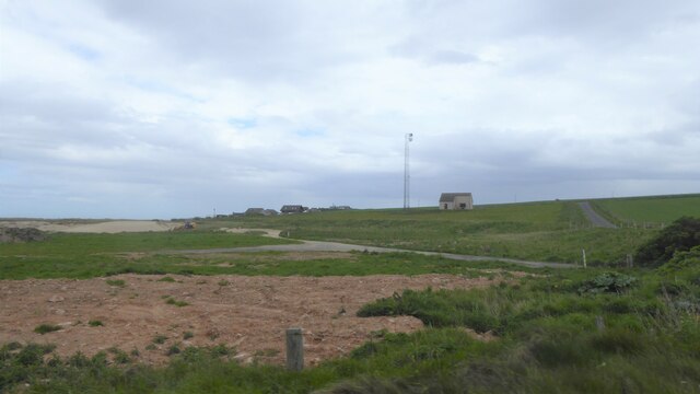
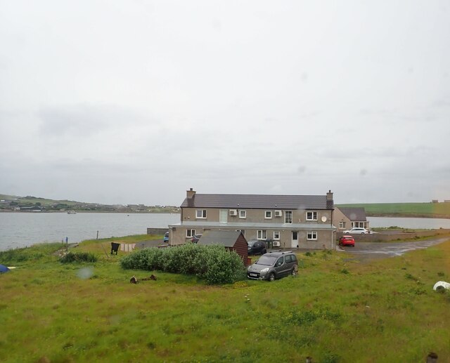
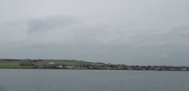
Hesta Images
Images are sourced within 2km of 58.842954/-2.9251387 or Grid Reference ND4695. Thanks to Geograph Open Source API. All images are credited.


Hesta is located at Grid Ref: ND4695 (Lat: 58.842954, Lng: -2.9251387)
Unitary Authority: Orkney Islands
Police Authority: Highlands and Islands
What 3 Words
///fluctuate.admiringly.searches. Near St Margaret's Hope, Orkney Islands
Nearby Locations
Related Wikis

Burray
Burray () is one of the Orkney Islands in Scotland. It lies to the east of Scapa Flow and is one of a chain of islands linked by the Churchill Barriers...

St Margaret's Hope
St Margaret's Hope is a village in the Orkney Islands, off the north coast of Scotland. It is known locally as The Hope or The Hup. With a population...

Hunda
Hunda is an uninhabited island in the Orkney archipelago in Scotland. It is 100 hectares (0.39 sq mi) in extent and rises to 42 metres (138 ft) above sea...

Glimps Holm
Glimps Holm or Glims Holm (Old Norse: Glums Holm) is a small uninhabited islet in Orkney, Scotland. == Geography == Glimps Holm lies in Holm Sound, one...
Related Videos
Yorkshire Lads Orkney Trailer 2
The second of 5 teaser trailers to preview our epic lads trip away to the Orkney Islands and beyond this one features our morning ...
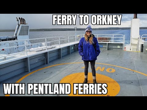
Sailing to Orkney with Pentland Ferries
We continue our search for orca in the UK and hop on a ferry over to Orkney! The company we used was 'Pentland Ferries' which ...
Nearby Amenities
Located within 500m of 58.842954,-2.9251387Have you been to Hesta?
Leave your review of Hesta below (or comments, questions and feedback).