Langa Taing
Coastal Marsh, Saltings in Orkney
Scotland
Langa Taing
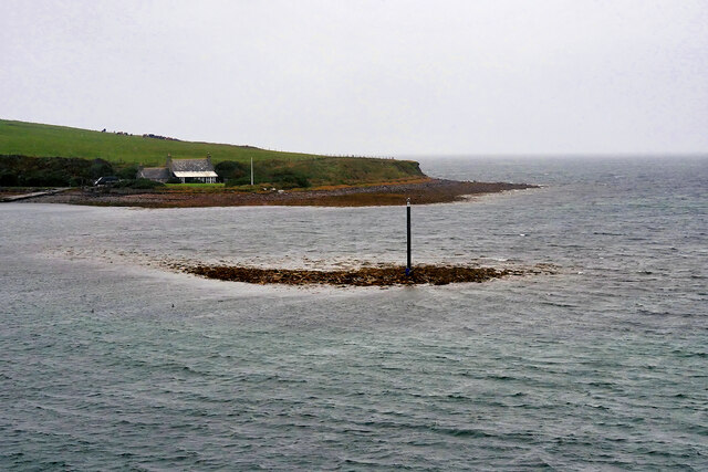
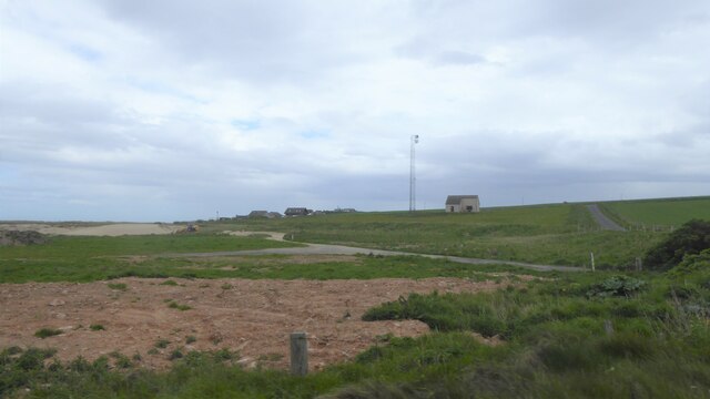
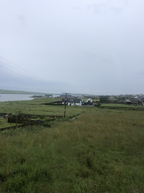
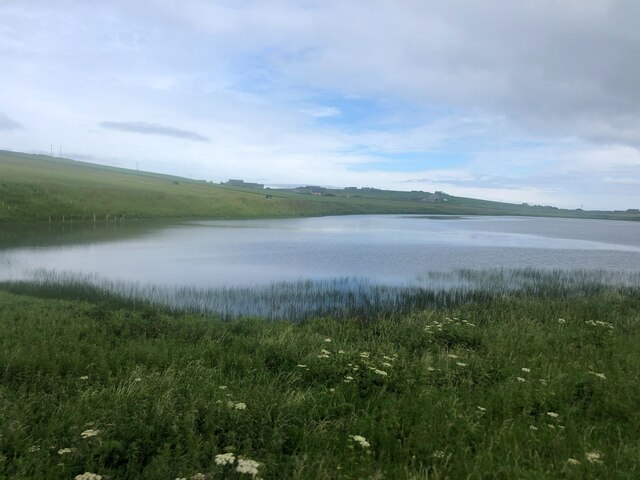
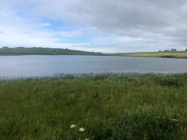
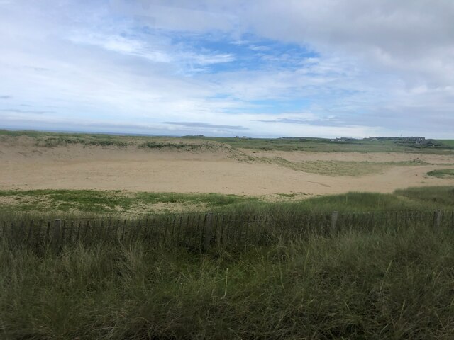
Langa Taing is a captivating coastal marsh located in Orkney, an archipelago situated off the northeastern coast of Scotland. Stretching along the shoreline, this marshland is known for its unique blend of coastal habitats, including saline marshes and saltings.
The marshland at Langa Taing is characterized by its dynamic environment, influenced by the ebb and flow of the tides. During high tide, the saline marshes become inundated with seawater, creating a brackish habitat. As the tide recedes, the marshes are exposed, revealing a fascinating array of plants and wildlife.
The marshes of Langa Taing support a diverse range of flora and fauna. Saltmarsh grasses, such as sea aster and sea purslane, thrive in the saline environment and provide crucial habitat and food sources for various bird species. The area is particularly significant for breeding waders like redshanks and curlews, which nest amongst the grasses.
The marshland also attracts a variety of migratory birds, making it a popular spot for birdwatching enthusiasts. Visitors may spot species such as sandpipers, dunlins, and oystercatchers, among others.
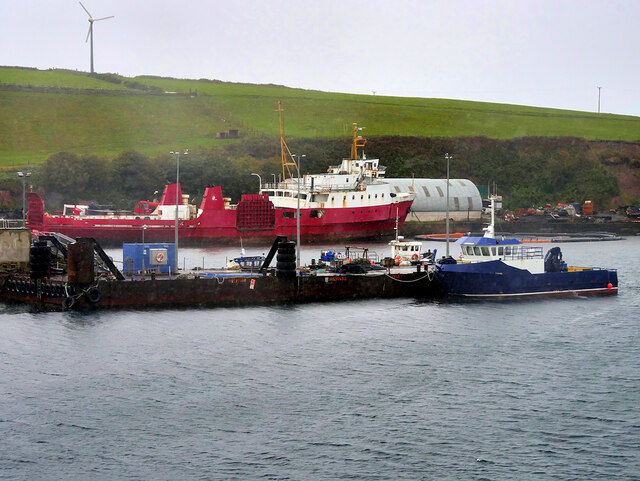
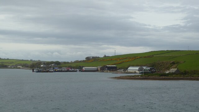
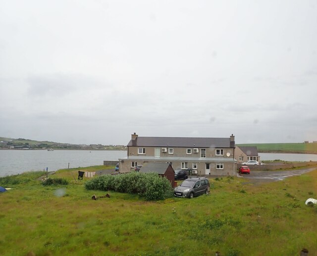
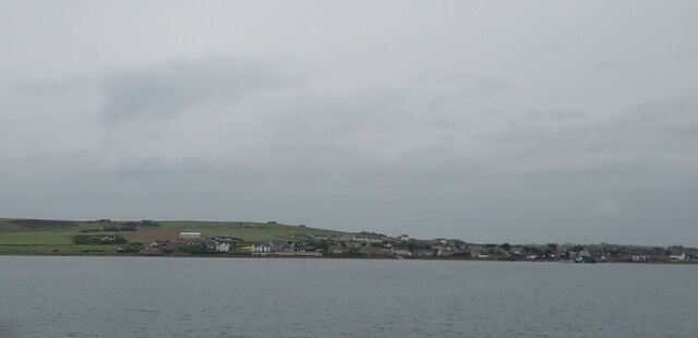
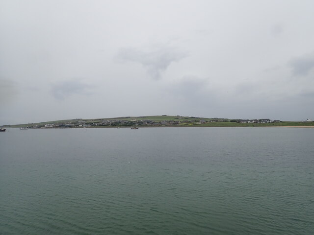
Beyond its ecological importance, Langa Taing offers stunning coastal views and a peaceful atmosphere. The surrounding landscape is characterized by rugged cliffs, sandy beaches, and rocky outcrops, adding to its scenic charm.
Due to its ecological significance, Langa Taing is recognized as a protected area, ensuring the preservation of its unique habitats and biodiversity. Visitors are encouraged to respect the fragile environment and adhere to any conservation measures in place to maintain the marshland's natural beauty for future generations to enjoy.
If you have any feedback on the listing, please let us know in the comments section below.
Langa Taing Images
Images are sourced within 2km of 58.842076/-2.9335535 or Grid Reference ND4695. Thanks to Geograph Open Source API. All images are credited.


Langa Taing is located at Grid Ref: ND4695 (Lat: 58.842076, Lng: -2.9335535)
Unitary Authority: Orkney Islands
Police Authority: Highlands and Islands
What 3 Words
///locals.cork.resonates. Near St Margaret's Hope, Orkney Islands
Nearby Locations
Related Wikis

Burray
Burray () is one of the Orkney Islands in Scotland. It lies to the east of Scapa Flow and is one of a chain of islands linked by the Churchill Barriers...

St Margaret's Hope
St Margaret's Hope is a village in the Orkney Islands, off the north coast of Scotland. It is known locally as The Hope or The Hup. With a population...

Hunda
Hunda is an uninhabited island in the Orkney archipelago in Scotland. It is 100 hectares (0.39 sq mi) in extent and rises to 42 metres (138 ft) above sea...

Glimps Holm
Glimps Holm or Glims Holm (Old Norse: Glums Holm) is a small uninhabited islet in Orkney, Scotland. == Geography == Glimps Holm lies in Holm Sound, one...
Nearby Amenities
Located within 500m of 58.842076,-2.9335535Have you been to Langa Taing?
Leave your review of Langa Taing below (or comments, questions and feedback).