Milnthorpe Sands
Coastal Marsh, Saltings in Westmorland South Lakeland
England
Milnthorpe Sands
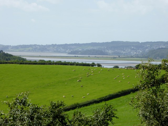
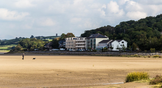
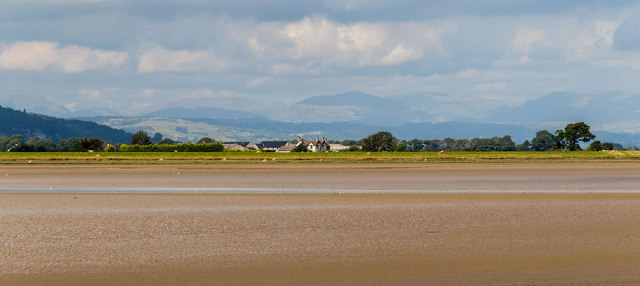
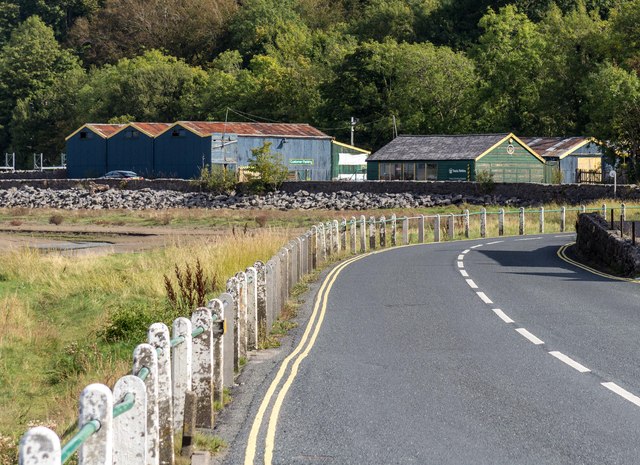
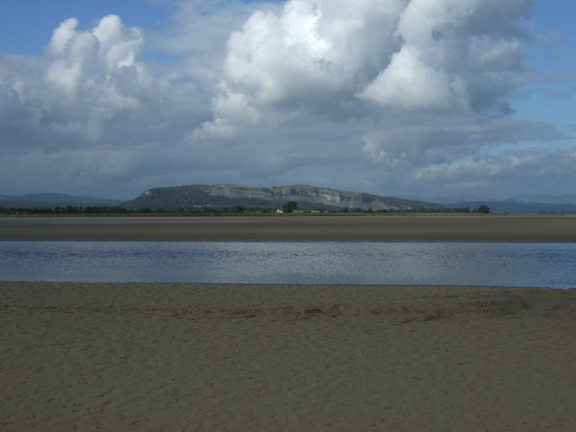
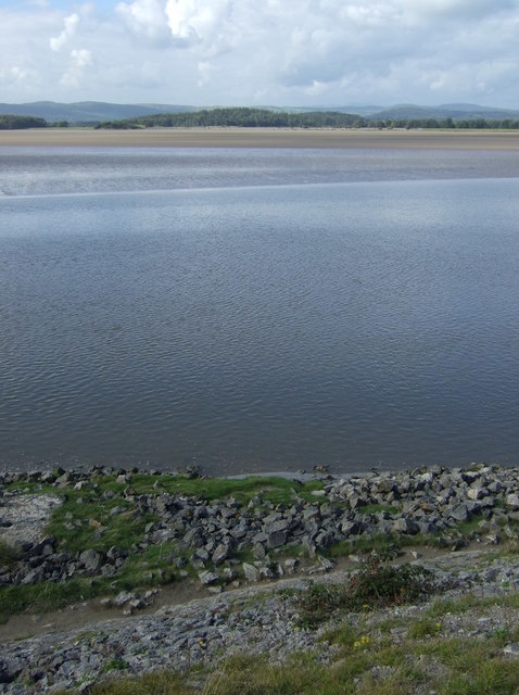
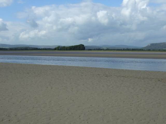
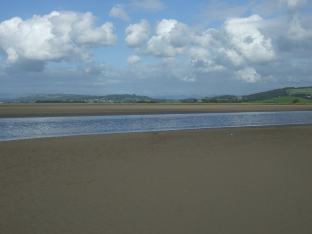
Milnthorpe Sands is a picturesque coastal marsh and saltings area located in Westmorland, Cumbria, in the northwestern region of England. Situated along the eastern edge of the estuary of the River Bela, it is a significant part of the Morecambe Bay area, known for its diverse ecosystems and stunning natural beauty.
The landscape of Milnthorpe Sands consists of vast expanses of saltmarshes, intertidal mudflats, and sand dunes. These unique habitats provide a crucial environment for a wide range of plant and animal species, making it a designated Site of Special Scientific Interest (SSSI) and a protected nature reserve.
The saltmarshes, formed by the deposition of fine sediments carried by the river, are characterized by their halophytic vegetation. These plants have adapted to the high salt content of the soil and play an important role in stabilizing the marshes and preventing erosion. They also provide a haven for various bird species, including wading birds like curlews, redshanks, and oystercatchers.
The intertidal mudflats, exposed during low tide, are rich in nutrients and attract a wide variety of invertebrates, which in turn serve as a food source for many bird species. The sand dunes found at Milnthorpe Sands are home to a diverse range of plants, including marram grass, which helps to stabilize the dunes and prevent sand erosion.
Milnthorpe Sands is not only a haven for wildlife but also a popular destination for nature enthusiasts. The area offers stunning coastal walks, birdwatching opportunities, and a chance to appreciate the unspoiled natural beauty of the Westmorland coastline.
If you have any feedback on the listing, please let us know in the comments section below.
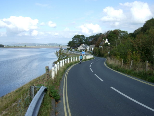
Milnthorpe Sands Images
Images are sourced within 2km of 54.219/-2.8196108 or Grid Reference SD4680. Thanks to Geograph Open Source API. All images are credited.


Milnthorpe Sands is located at Grid Ref: SD4680 (Lat: 54.219, Lng: -2.8196108)
Administrative County: Cumbria
District: South Lakeland
Police Authority: Cumbria
What 3 Words
///flamenco.venue.reporters. Near Arnside, Cumbria
Nearby Locations
Related Wikis
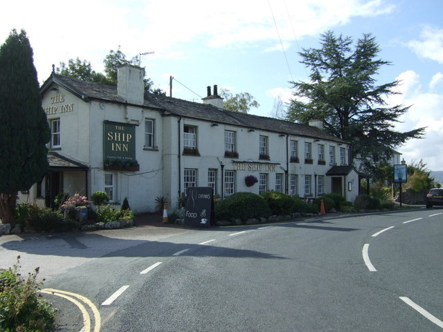
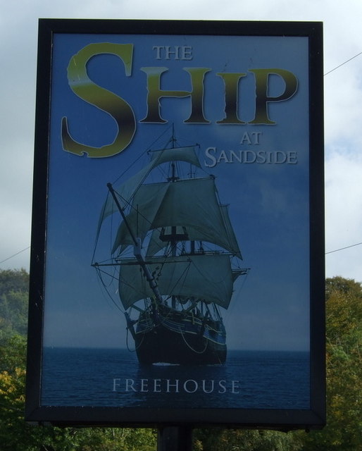
Sandside, Beetham
Sandside is a hamlet near Storth in Beetham parish, South Lakeland, Cumbria, England. Historically in Westmorland, it lies on the south shore of the estuary...

Sandside railway station
Sandside was a railway station situated on the Hincaster Branch of the Furness Railway serving the hamlet and quarries of Sandside. The following station...

Dog Hole Cave
Dog Hole Cave is an archaeologically significant cave near Storth, Cumbria, England. Other names for the cave include Haverbrack Bank Pot, Haverbrack Dog...

Arnside railway station
Arnside is a railway station on the Furness Line, which runs between Barrow-in-Furness and Lancaster. The station, situated 12+1⁄4 miles (20 km) north...
Nearby Amenities
Located within 500m of 54.219,-2.8196108Have you been to Milnthorpe Sands?
Leave your review of Milnthorpe Sands below (or comments, questions and feedback).