Birkswood Point
Cliff, Slope in Westmorland South Lakeland
England
Birkswood Point
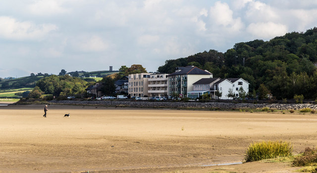
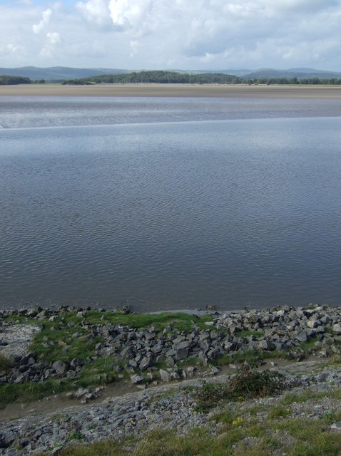
Birkswood Point is a picturesque cliff located in the region of Westmorland, which is part of the larger county of Cumbria in northwestern England. This natural landmark offers breathtaking views and is a popular destination for nature enthusiasts and hikers.
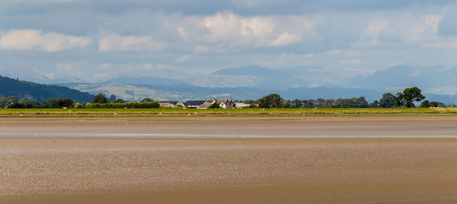
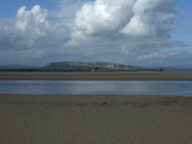
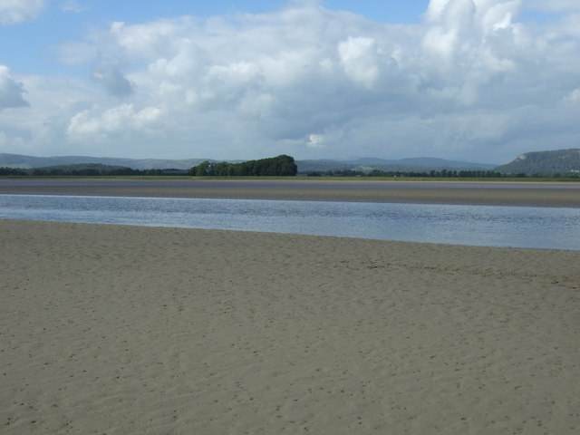
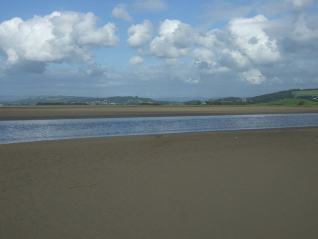
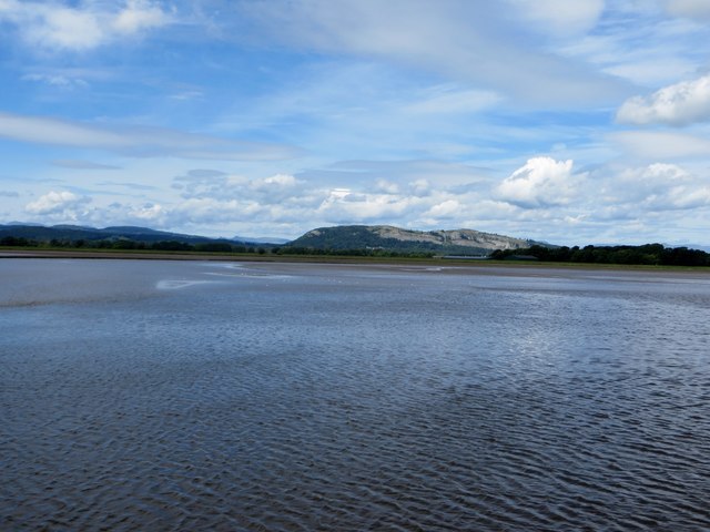
Situated on the edge of the Lake District National Park, Birkswood Point is characterized by its steep slope and rugged cliffs, which provide a dramatic backdrop to the surrounding landscape. The cliff itself is composed of sedimentary rocks, including limestone and sandstone, which have been shaped and weathered over centuries by the forces of nature.
The cliff face rises several hundred feet above the valley below, offering panoramic vistas of the rolling hills, lush woodlands, and meandering rivers that define the Westmorland countryside. Visitors to Birkswood Point can witness the stunning beauty of the region, with its diverse flora and fauna, as well as the occasional glimpse of local wildlife such as red deer, birds of prey, and even rare species of orchids.
The area surrounding Birkswood Point is also known for its rich history, with traces of ancient settlements and stone circles found nearby. Additionally, the cliff itself has been a source of inspiration for artists and writers throughout the years, with its imposing presence and natural beauty serving as a muse for their creative endeavors.
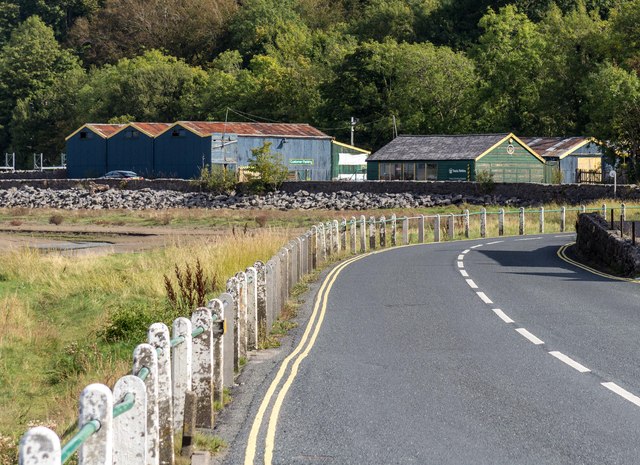
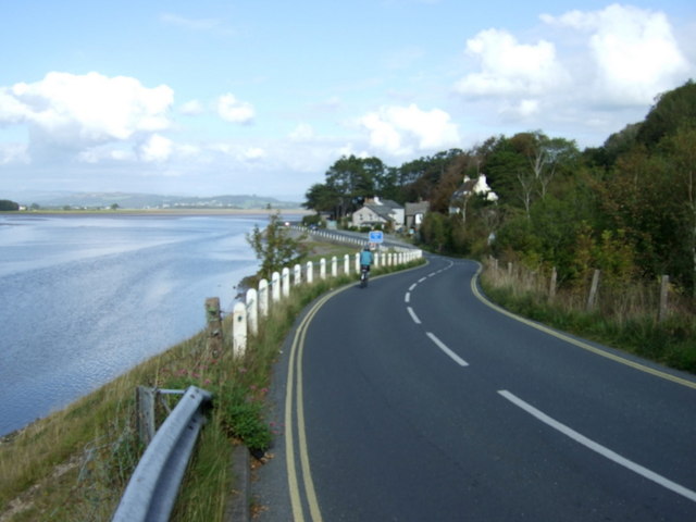
Access to Birkswood Point is relatively easy, with well-marked trails leading to the cliff top. However, caution is advised when exploring the area due to the steep and sometimes unstable terrain. Nonetheless, the effort is rewarded with unforgettable views and a sense of tranquility that can only be found in this unique corner of Westmorland.
If you have any feedback on the listing, please let us know in the comments section below.
Birkswood Point Images
Images are sourced within 2km of 54.220028/-2.828235 or Grid Reference SD4680. Thanks to Geograph Open Source API. All images are credited.


Birkswood Point is located at Grid Ref: SD4680 (Lat: 54.220028, Lng: -2.828235)
Administrative County: Cumbria
District: South Lakeland
Police Authority: Cumbria
What 3 Words
///grudging.landings.slave. Near Arnside, Cumbria
Nearby Locations
Related Wikis

Arnside Viaduct
Arnside Viaduct is a viaduct carrying the Lancaster to Barrow railway line over the River Kent. Construction started in 1856, finished in 1857 and expanded...
Sandside, Beetham
Sandside is a hamlet near Storth in Beetham parish, South Lakeland, Cumbria, England. Historically in Westmorland, it lies on the south shore of the estuary...
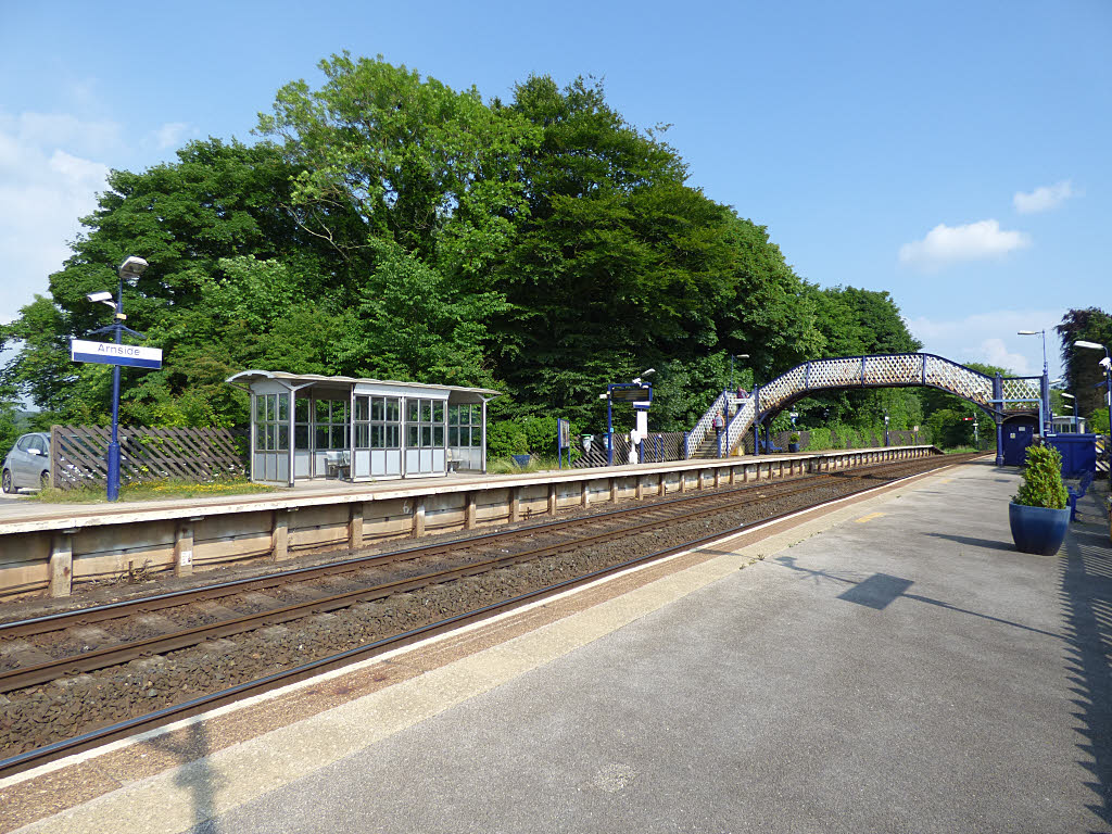
Arnside railway station
Arnside is a railway station on the Furness Line, which runs between Barrow-in-Furness and Lancaster. The station, situated 12+1⁄4 miles (20 km) north...
Witherslack Mosses
Witherslack Mosses are a fragmented wetland west of the Kent estuary in Cumbria, England, within the Lake District National Park. They consist of three...
Sandside railway station
Sandside was a railway station situated on the Hincaster Branch of the Furness Railway serving the hamlet and quarries of Sandside. The following station...

Limestone Link (Cumbria)
The Limestone Link is a waymarked footpath in South Lakeland, Cumbria, England, connecting Arnside and Kirkby Lonsdale, a distance of 13 miles (21 km)...
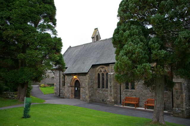
St James' Church, Arnside
St James' Church is in the village of Arnside, Cumbria, England. It is an active Anglican parish church in the deanery of Kendal, the archdeaconry of...
Meathop Moss
Meathop Moss is a raised bog located north of Meathop in Cumbria, England. Protected as a nature reserve by the Cumbria Wildlife Trust, Meathop Moss is...
Nearby Amenities
Located within 500m of 54.220028,-2.828235Have you been to Birkswood Point?
Leave your review of Birkswood Point below (or comments, questions and feedback).