Ince Marshes

Coastal Marsh, Saltings in Cheshire

England

Ince Marshes

Manchester Ship Canal, west of Ince Bottleneck Looking eastwards.
Manchester Ship Canal, west of Ince Bottleneck Credit: Christine Johnstone

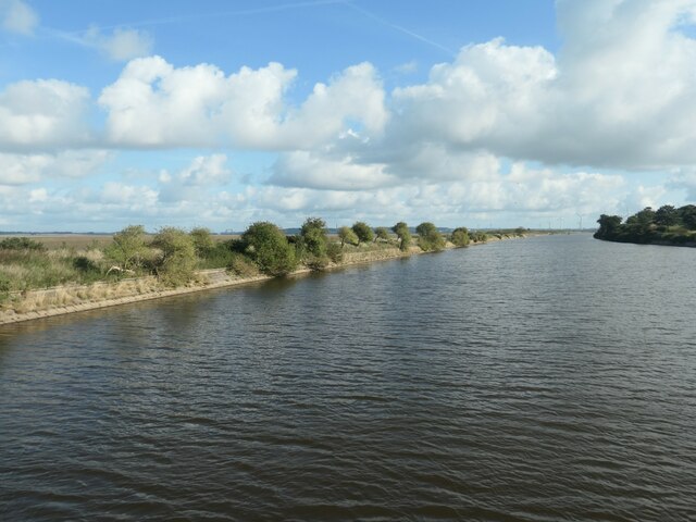
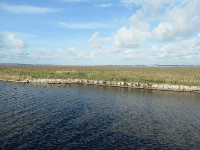
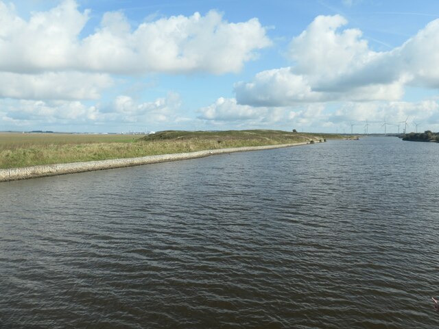
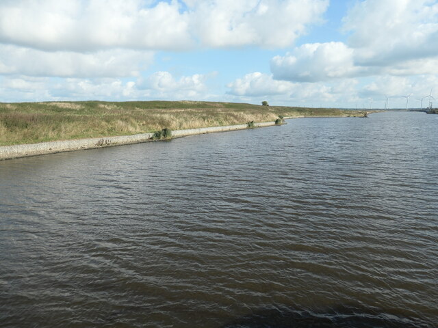
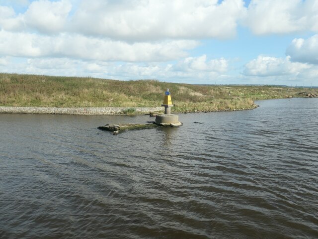
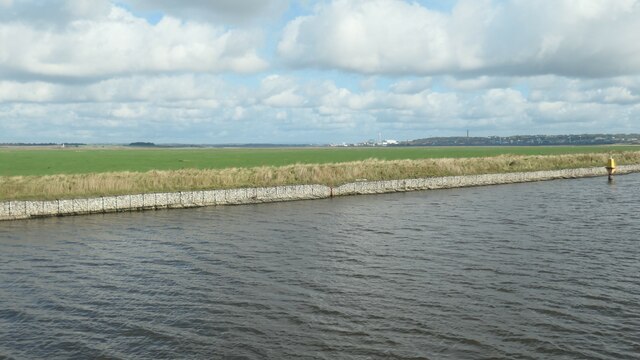
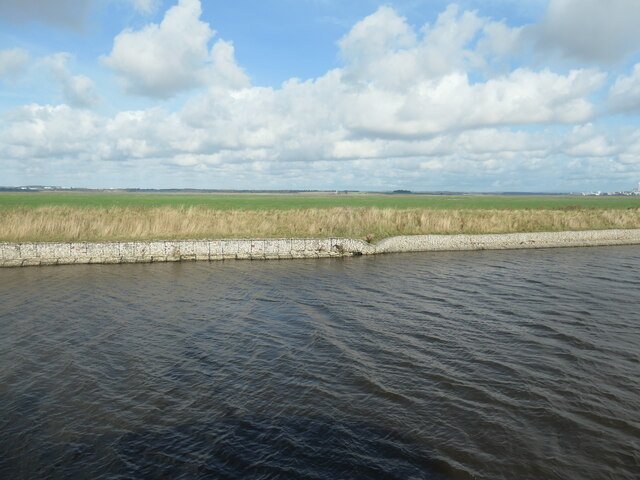
Ince Marshes is a coastal marshland located in Cheshire, England. Situated along the banks of the River Mersey, it is a vast area of wetlands and salt marshes which stretches over an impressive 1,000 acres.

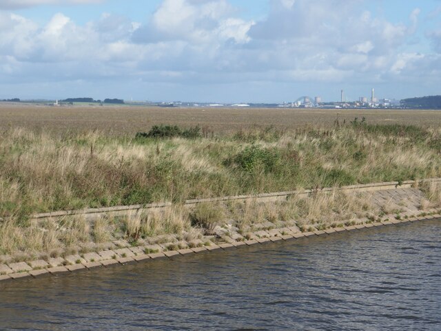
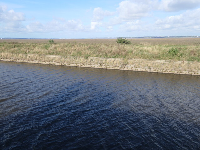
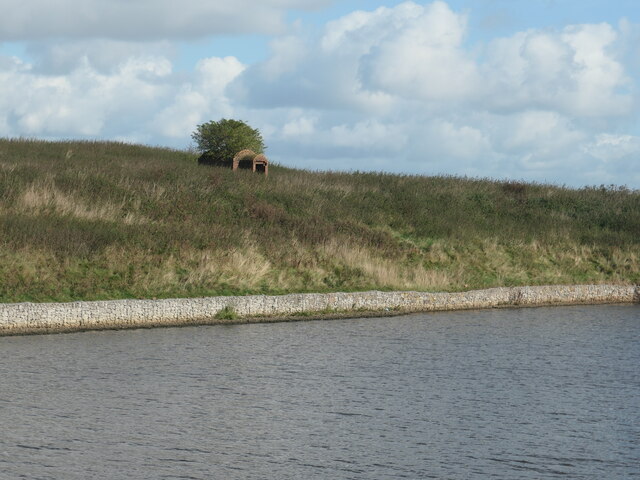
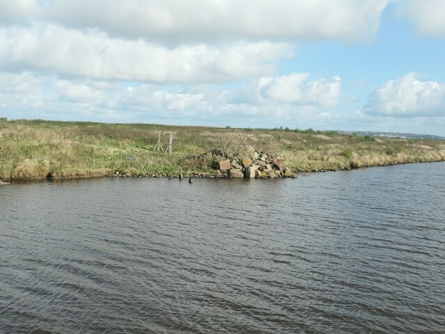
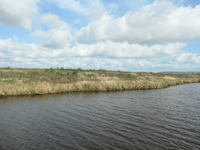
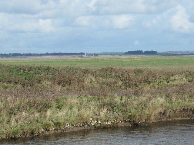
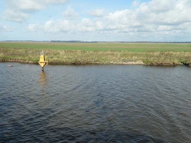
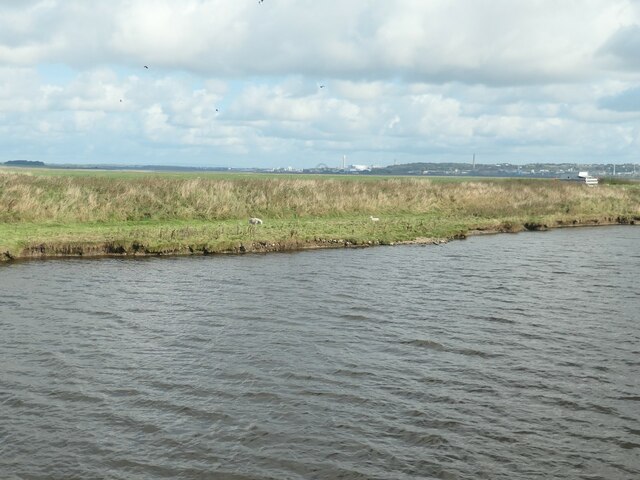
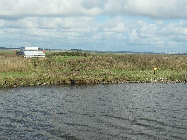
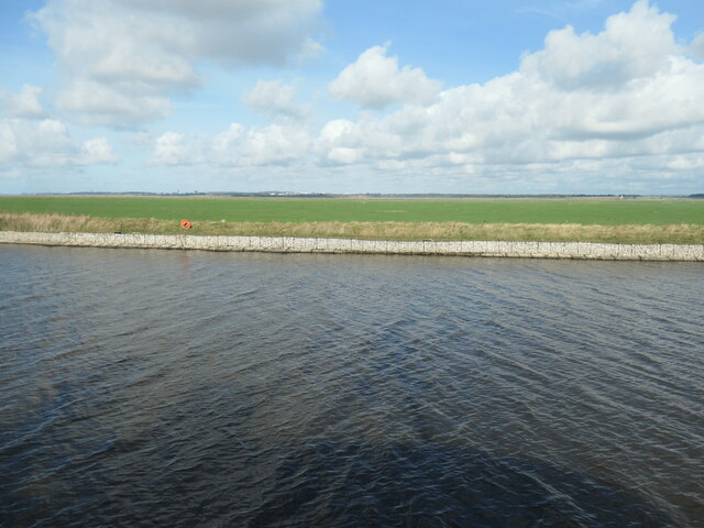
The marshes are known for their unique and diverse ecosystem, supporting a wide variety of plant and animal species. The area is characterized by a mosaic of habitats, including saltmarsh, reedbeds, open water, and mudflats. The saltmarsh in particular is a crucial component of the marshes, providing vital breeding grounds for numerous bird species.

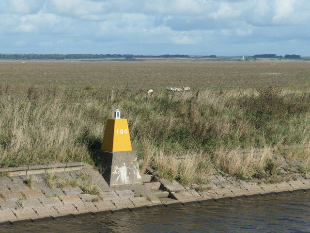
Ince Marshes is a designated Site of Special Scientific Interest (SSSI) and is managed by the Royal Society for the Protection of Birds (RSPB). The site is an important birdwatching destination, attracting bird enthusiasts from all over the country. It is home to a vast array of bird species, including redshanks, lapwings, teal, and shelducks. During the winter months, the marshes become a popular spot for migratory birds, such as pink-footed geese and wigeons.

Aside from its ecological significance, Ince Marshes also has a rich industrial history. In the past, the area was heavily used for salt extraction and shipbuilding. Today, remnants of the industrial past can still be seen, with old salt pans and historic buildings adding to the unique charm of the marshes.

Ince Marshes provides a tranquil escape from the bustling city life, offering visitors the opportunity to immerse themselves in the beauty of nature and witness the harmonious coexistence of wildlife and industry in this remarkable coastal marshland.

If you have any feedback on the listing, please let us know in the comments section below.

Ince Marshes Images

Images are sourced within 2km of 53.28785/-2.802051 or Grid Reference SJ4677. Thanks to Geograph Open Source API. All images are credited.

Manchester Ship Canal, west of Ince Bottleneck Looking eastwards.
Manchester Ship Canal, west of Ince Bottleneck
Looking eastwards.
View across Ince Banks towards Runcorn Saltmarsh in the Mersey estuary seen from a steamship on the Manchester Ship Canal.
View across Ince Banks towards Runcorn
Saltmarsh in the Mersey estuary seen from a steamship on the Manchester Ship Canal.
View across Ince Banks towards Liverpool Saltmarsh in the Mersey estuary, seen from a steamship on the Manchester Ship Canal.
View across Ince Banks towards Liverpool
Saltmarsh in the Mersey estuary, seen from a steamship on the Manchester Ship Canal.
Beacon 106, Manchester Ship Canal On the north bank, with sheep on the Mersey estuary saltmarsh beyond.
Beacon 106, Manchester Ship Canal
On the north bank, with sheep on the Mersey estuary saltmarsh beyond.
Sheep grazing on Ince Banks saltmarsh The Mersey estuary, beyond the north bank of the Manchester Ship Canal.
Sheep grazing on Ince Banks saltmarsh
The Mersey estuary, beyond the north bank of the Manchester Ship Canal.
Manchester Ship Canal near Holme Farm, Ince Looking eastwards.
Manchester Ship Canal near Holme Farm, Ince
Looking eastwards.
North bank, Manchester Ship Canal The land rises to 13 metres above sea level.
North bank, Manchester Ship Canal
The land rises to 13 metres above sea level.
Derelict magazine, north bank, Manchester Ship Canal A disused explosives store. Shown on the large-scale OS map surveyed in the 1890s and possibly part of the canal's construction infrastructure.
Derelict magazine, north bank, Manchester Ship Canal
A disused explosives store. Shown on the large-scale OS map surveyed in the 1890s and possibly part of the canal's construction infrastructure.
Beacon 108, Manchester Ship Canal Just off the north bank, near Ince Bottleneck.
Beacon 108, Manchester Ship Canal
Just off the north bank, near Ince Bottleneck.
Rubble, north bank, Manchester Ship Canal Possibly some of the sandstone blocks from the original canal bank.
Rubble, north bank, Manchester Ship Canal
Possibly some of the sandstone blocks from the original canal bank.
Lapwings, north bank, Manchester Ship Canal Dozens took to the air as a steamship passed.
Lapwings, north bank, Manchester Ship Canal
Dozens took to the air as a steamship passed.
Ince Banks, Mersey estuary Looking northwards across the saltmarsh and the river to the lighthouse at Hale Head. Taken from a steamship on the Manchester Ship Canal.
Ince Banks, Mersey estuary
Looking northwards across the saltmarsh and the river to the lighthouse at Hale Head. Taken from a steamship on the Manchester Ship Canal.
Beacon 110, Manchester Ship Canal On the north bank, near Ince.
Beacon 110, Manchester Ship Canal
On the north bank, near Ince.
Sheep on the northern bank, Manchester Ship Canal The rest of the flock are further into the Ince Banks saltmarsh, away from the canal.
Sheep on the northern bank, Manchester Ship Canal
The rest of the flock are further into the Ince Banks saltmarsh, away from the canal.
Marker 375, Manchester Ship Canal On the north bank in front of an unknown structure on Ince Banks.
Marker 375, Manchester Ship Canal
On the north bank in front of an unknown structure on Ince Banks.
Lifebelt on the north bank, Manchester Ship Canal For the benefit of shepherds on Ince Banks?
Lifebelt on the north bank, Manchester Ship Canal
For the benefit of shepherds on Ince Banks?
Beacon 112, Manchester Ship Canal With a view across the Mersey estuary's Ince Banks, from Hale Head to Runcorn.
Beacon 112, Manchester Ship Canal
With a view across the Mersey estuary's Ince Banks, from Hale Head to Runcorn.
Distorted gabions, north bank, Manchester Ship Canal What changed their shape?
Distorted gabions, north bank, Manchester Ship Canal
What changed their shape?
Show me another place!

Ince Marshes is located at Grid Ref: SJ4677 (Lat: 53.28785, Lng: -2.802051)

Unitary Authority: Cheshire West and Chester

Police Authority: Cheshire

What 3 Words

///litigate.mailing.trailer. Near Ince, Cheshire

Nearby Locations

Ince Marshes

Related Wikis

Ince Power Station

Ince Power Station refers to two demolished power stations near Ellesmere Port in Cheshire, North West England. == Ince A == When the uranium enrichment...

Ince & Elton railway station

Ince & Elton railway station, on the Hooton–Helsby line, serves both Ince and Elton in Cheshire, England. The station is unstaffed. == History == Ince...
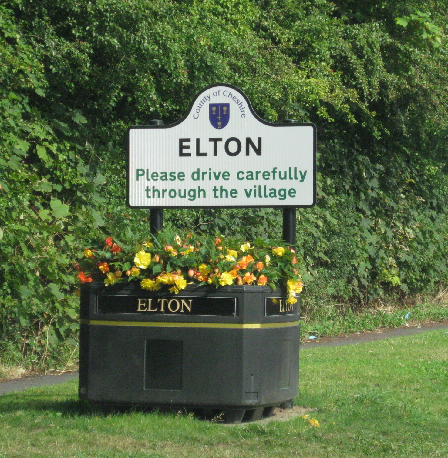
Elton, Cheshire

Elton is a village and civil parish in Cheshire West and Chester, Cheshire, England, 13 km (8.1 mi) northeast of Chester, between Helsby and Ellesmere...
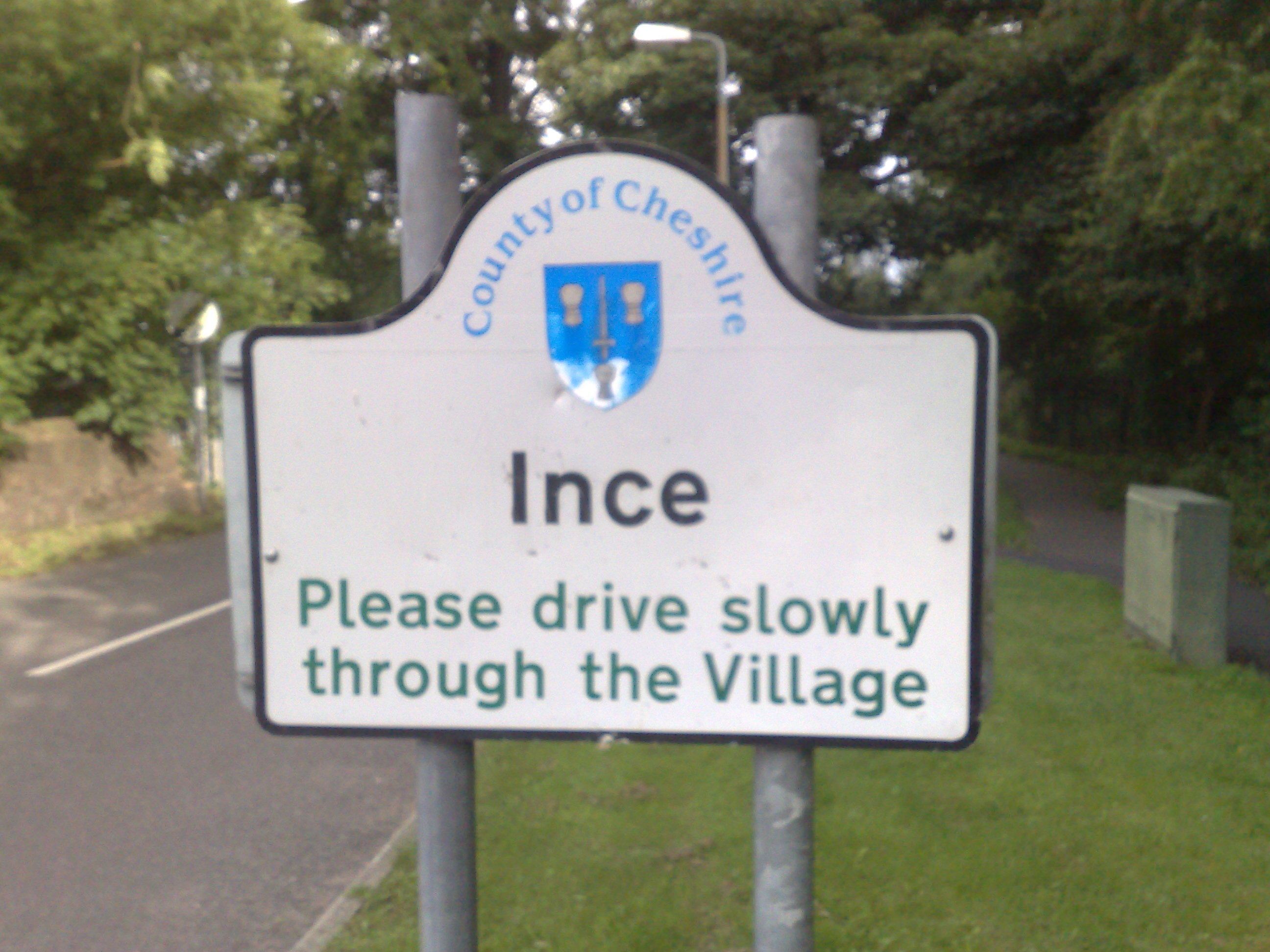
Ince, Cheshire

Ince is a village and civil parish in the unitary authority of Cheshire West and Chester and the ceremonial county of Cheshire, England. It is situated...

Nearby Amenities

Located within 500m of 53.28785,-2.802051
The data included in this document is from www.openstreetmap.org. The data is made available under ODbL.

Have you been to Ince Marshes?

Leave your review of Ince Marshes below (or comments, questions and feedback).