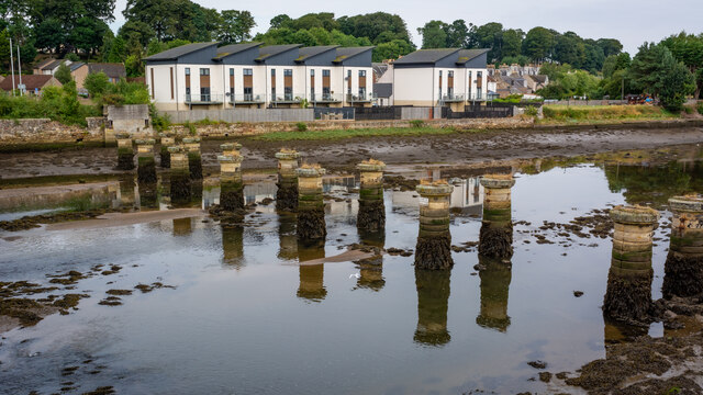
Coble House Point

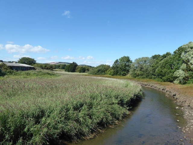
Coastal Marsh, Saltings in Fife

Scotland

Coble House Point

Railway bridge remnants, Guardbridge Remnants of the old railway bridge over the River Eden at Guardbridge.
Railway bridge remnants, Guardbridge Credit: Scott Cormie

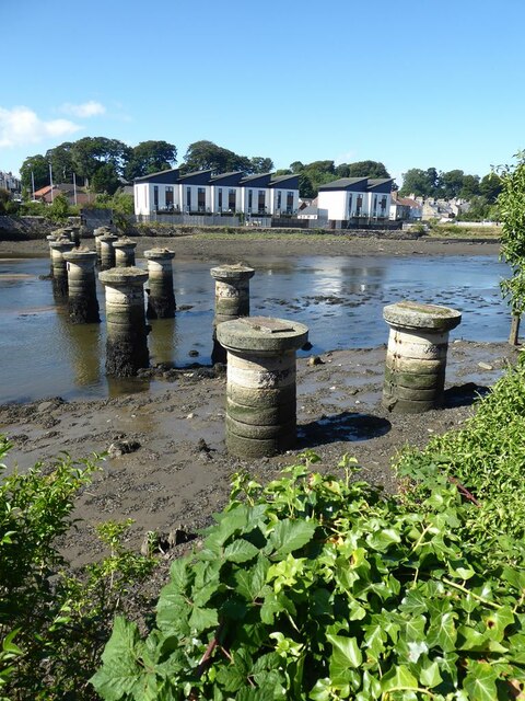
Coble House Point, located in Fife, Scotland, is a picturesque coastal marsh and saltings area surrounded by stunning natural beauty. This area is known for its diverse ecology and rich birdlife, making it a popular destination for nature enthusiasts and birdwatchers.

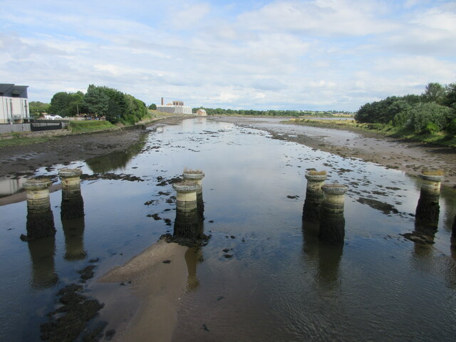
The coastal marsh of Coble House Point is characterized by its extensive mudflats and salt marshes, which are formed by the ebb and flow of the tides. The marshland is home to a wide range of plant species, including sea lavender, sea aster, and saltmarsh grasses, which thrive in the brackish water and provide important habitat for various marine organisms.

In addition to its diverse plant life, Coble House Point is renowned for its significant bird population. Many species of wading birds, such as curlews, oystercatchers, and redshanks, can be found here, particularly during the breeding season. The marshes provide an ideal feeding ground for these birds, as they are rich in invertebrates and small fish.

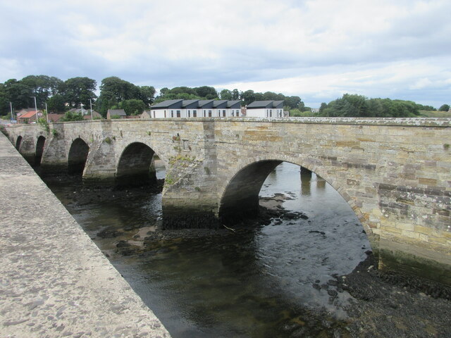
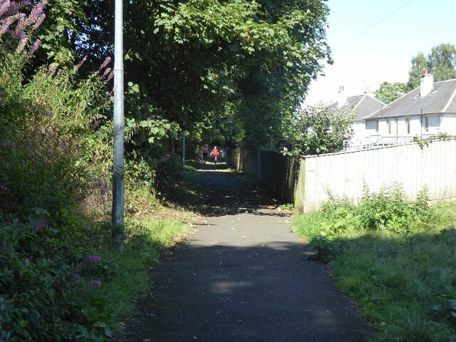
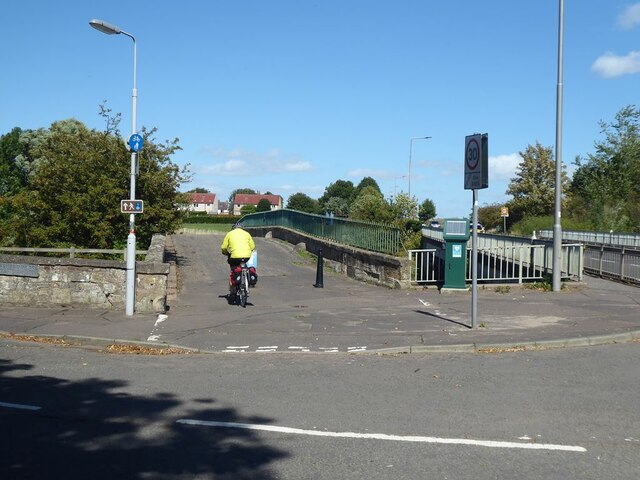
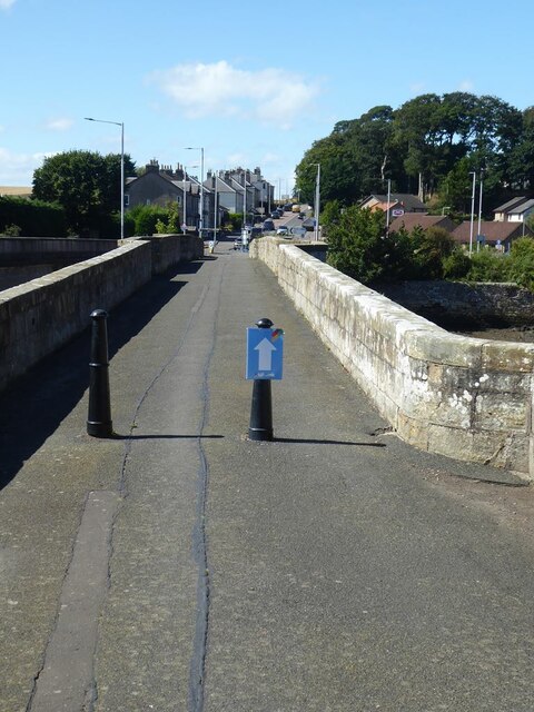
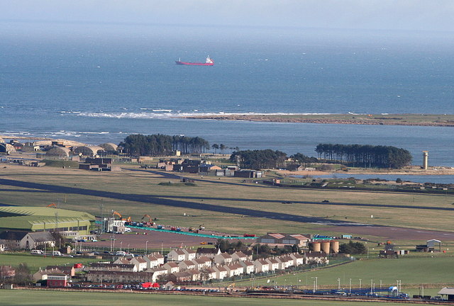
Visitors to Coble House Point can enjoy panoramic views of the Firth of Tay and the North Sea, as well as serene walks along the coast. The marshes are also accessible via a network of footpaths and boardwalks, allowing visitors to explore the area and observe the wildlife up close.

Overall, Coble House Point offers a unique and tranquil coastal experience, where visitors can immerse themselves in the natural beauty of the Scottish coastline and witness the abundance of wildlife that calls this area home.

If you have any feedback on the listing, please let us know in the comments section below.

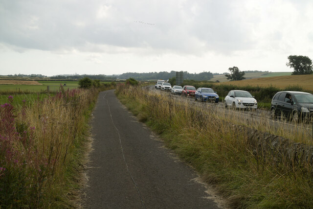
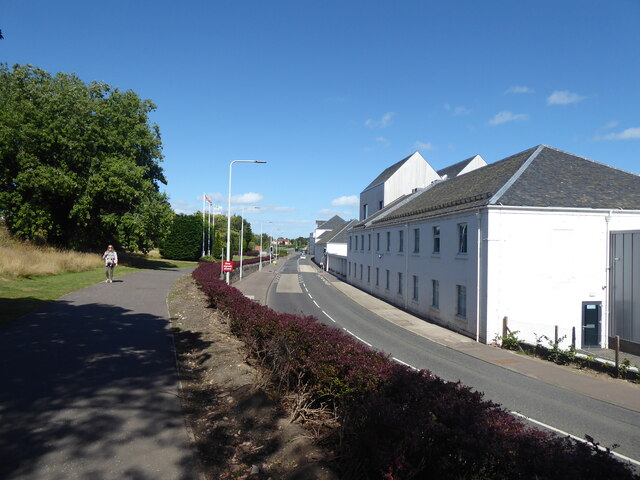
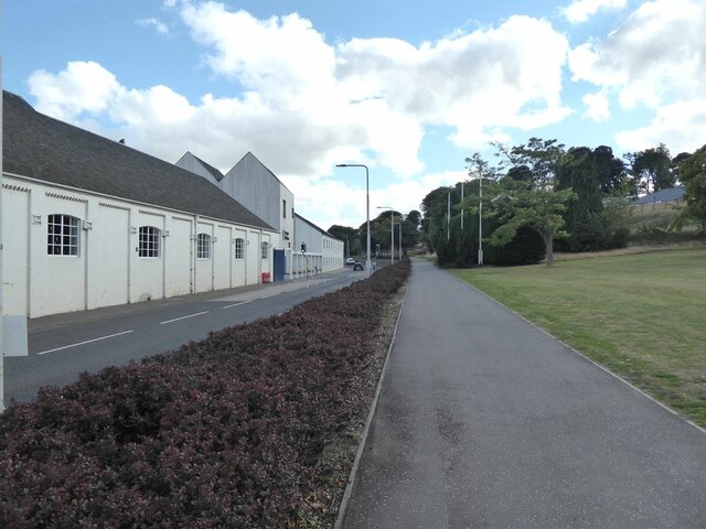
Coble House Point Images

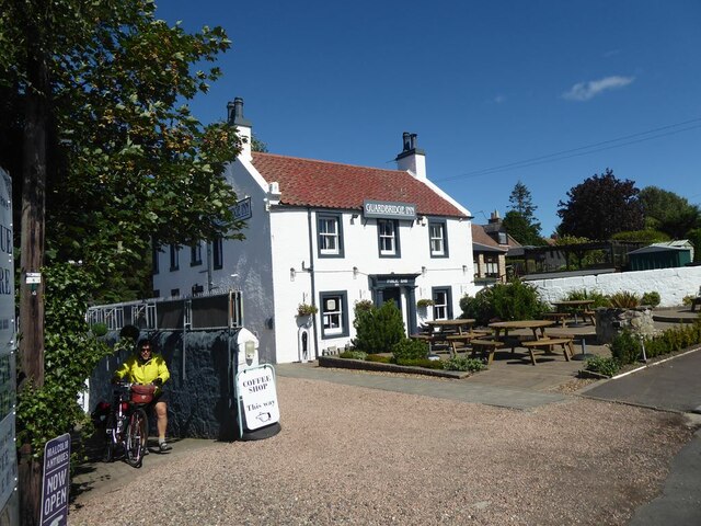
Images are sourced within 2km of 56.367712/-2.8690473 or Grid Reference NO4619. Thanks to Geograph Open Source API. All images are credited.

Railway bridge remnants, Guardbridge Remnants of the old railway bridge over the River Eden at Guardbridge.
Railway bridge remnants, Guardbridge
Remnants of the old railway bridge over the River Eden at Guardbridge.
Old Guardbridge The 1419 built Guardbridge, now used by pedestrians, viewed from the 1938 replacement over the River Eden.
Old Guardbridge
The 1419 built Guardbridge, now used by pedestrians, viewed from the 1938 replacement over the River Eden.
A919 heading for Guardbridge The A919 heading southwards into Guardbridge from Leuchars.
A919 heading for Guardbridge
The A919 heading southwards into Guardbridge from Leuchars.
A91 Milestone at Guardbridge Milestone with cast-iron cap, on the north side of the A91 to the west of Guardbridge.
A91 Milestone at Guardbridge
Milestone with cast-iron cap, on the north side of the A91 to the west of Guardbridge.
Fife Coastal Path at Guardbridge The Fife Coastal Path heading north through Guardbridge.
Fife Coastal Path at Guardbridge
The Fife Coastal Path heading north through Guardbridge.
Inner Bridge The now pedestrianised Inner Bridge at Guardbridge, viewed from the A919 bridge over the Motray Water.
Inner Bridge
The now pedestrianised Inner Bridge at Guardbridge, viewed from the A919 bridge over the Motray Water.
Milestone at Guardbridge Close-up of the A91 milestone to the west of Guardbridge.
Milestone at Guardbridge
Close-up of the A91 milestone to the west of Guardbridge.
Single track road to Kincaple
Fife Coastal Path near Kincaple The stationary traffic on the A91 was due to road works at Guardbridge.
Fife Coastal Path near Kincaple
The stationary traffic on the A91 was due to road works at Guardbridge.
Old Railway Bridge over the River Eden (Closed 1969)
Eden Campus The Eden Campus of St Andrews University occupies the premises of the former Curtis Fine Papers mill which went into administration in 2008. Since 2016 the site has been developed by the University as an innovation, research and development centre. It incorporates a large biomass plant and it is planned in the future to house spin-off high-tech businesses.

To the left is a cycle-and-pedestrian path which is followed by both National Cycle Network route 1 and the Fife Coastal Path.

The A919 runs between the path and the buildings.
Eden Campus
The Eden Campus of St Andrews University occupies the premises of the former Curtis Fine Papers mill which went into administration in 2008. Since 2016 the site has been developed by the University as an innovation, research and development centre. It incorporates a large biomass plant and it is planned in the future to house spin-off high-tech businesses. To the left is a cycle-and-pedestrian path which is followed by both National Cycle Network route 1 and the Fife Coastal Path. The A919 runs between the path and the buildings.
Eden Campus The Eden Campus of St Andrews University occupies the premises of the former Curtis Fine Papers mill which went into administration in 2008. Since 2016 the site has been developed by the University as an innovation, research and development centre. It incorporates a large biomass plant and it is planned in the future to house spin-off high-tech businesses.

To the right is a cycle-and-pedestrian path which is followed by both National Cycle Network route 1 and the Fife Coastal Path.

The A919 runs between the path and the buildings.
Eden Campus
The Eden Campus of St Andrews University occupies the premises of the former Curtis Fine Papers mill which went into administration in 2008. Since 2016 the site has been developed by the University as an innovation, research and development centre. It incorporates a large biomass plant and it is planned in the future to house spin-off high-tech businesses. To the right is a cycle-and-pedestrian path which is followed by both National Cycle Network route 1 and the Fife Coastal Path. The A919 runs between the path and the buildings.
Cycle path in Guardbridge The cycle-and-pedestrian path which runs behind Ashgrove Terrace on Main Street, Guardbridge is followed by both National Cycle Network route 1 and the Fife Coastal Path.
Cycle path in Guardbridge
The cycle-and-pedestrian path which runs behind Ashgrove Terrace on Main Street, Guardbridge is followed by both National Cycle Network route 1 and the Fife Coastal Path.
Old bridge  over the Mottray Water The old bridge, later replaced by more modern bridge to the right which carries the A919, is followed by both National Cycle Network route 1 and the Fife Coastal Path.
Old bridge over the Mottray Water
The old bridge, later replaced by more modern bridge to the right which carries the A919, is followed by both National Cycle Network route 1 and the Fife Coastal Path.
The Mottray Water A tributary of the River Eden. Looking upstream from the old bridge.
The Mottray Water
A tributary of the River Eden. Looking upstream from the old bridge.
The original Guard Bridge This bridge over the River Eden has now been replaced by a modern bridge carrying the A91 a few metres upstream. The bridge is used by both National Cycle Network route 1 and the Fife Coastal Path.
The original Guard Bridge
This bridge over the River Eden has now been replaced by a modern bridge carrying the A91 a few metres upstream. The bridge is used by both National Cycle Network route 1 and the Fife Coastal Path.
The Guardbridge Inn
The Guardbridge Inn
Piers of the old railway bridge over the River Eden The railway ran from Leuchars to St Andrews and was operational from 1852 to 1969. Modern houses on the far bank strike a discordant note.
Piers of the old railway bridge over the River Eden
The railway ran from Leuchars to St Andrews and was operational from 1852 to 1969. Modern houses on the far bank strike a discordant note.
Show me another place!

Coble House Point is located at Grid Ref: NO4619 (Lat: 56.367712, Lng: -2.8690473)

Unitary Authority: Fife

Police Authority: Fife

What 3 Words

///debater.political.blackbird. Near Leuchars, Fife

Related Wikis

Nearby Amenities

Located within 500m of 56.367712,-2.8690473
Barrier: fence
Lat/Long: 56.369793/-2.8664124
Aeroway: threshold
Ref: 04
Lat/Long: 56.3712521/-2.8725575
The data included in this document is from www.openstreetmap.org. The data is made available under ODbL.

Have you been to Coble House Point?

Leave your review of Coble House Point below (or comments, questions and feedback).