Oxcliffe Marsh
Coastal Marsh, Saltings in Lancashire Lancaster
England
Oxcliffe Marsh
The requested URL returned error: 429 Too Many Requests
If you have any feedback on the listing, please let us know in the comments section below.
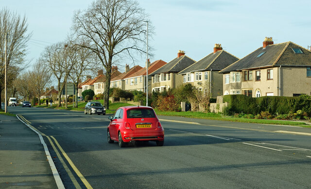
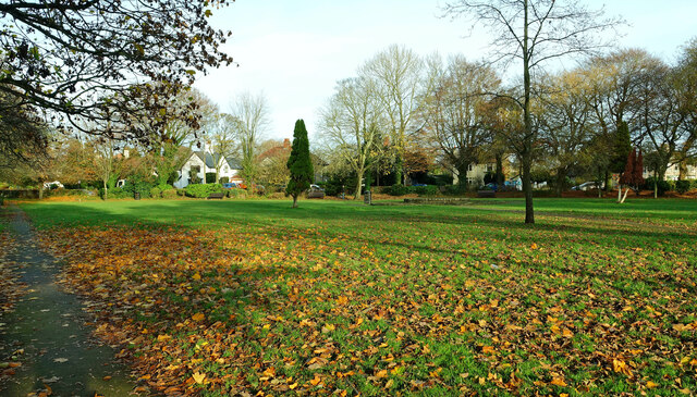
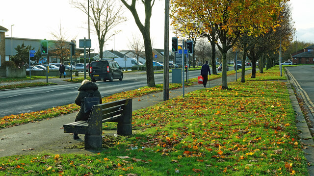
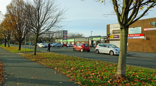
Oxcliffe Marsh Images
Images are sourced within 2km of 54.051476/-2.8418786 or Grid Reference SD4462. Thanks to Geograph Open Source API. All images are credited.

Oxcliffe Marsh is located at Grid Ref: SD4462 (Lat: 54.051476, Lng: -2.8418786)
Administrative County: Lancashire
District: Lancaster
Police Authority: Lancashire
What 3 Words
///rocket.dated.type. Near Morecambe, Lancashire
Nearby Locations
Related Wikis

Lancaster and Morecambe College
Lancaster and Morecambe College is a further education College situated on Torrisholme Road, between Lancaster and Morecambe, Lancashire, England. The...

Abraham Heights
Abraham Heights is a suburb of Lancaster, Lancashire, England. == Geography == It is west of the city centre, with the River Lune to the north and west...
Scale Hall railway station
Scale Hall railway station served the suburb of Scale Hall in Lancaster, Lancashire, England. The station was located near Scale Hall Lane on Morecambe...

Lune Road Ground
Lune Road Ground is a cricket ground in Lancaster, Lancashire. The ground is situated on the bank of the River Lune. The first recorded match on the...
Nearby Amenities
Located within 500m of 54.051476,-2.8418786Have you been to Oxcliffe Marsh?
Leave your review of Oxcliffe Marsh below (or comments, questions and feedback).