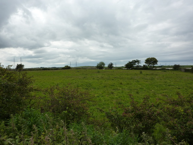
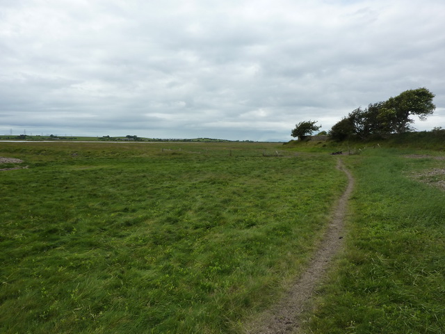
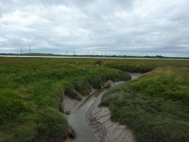
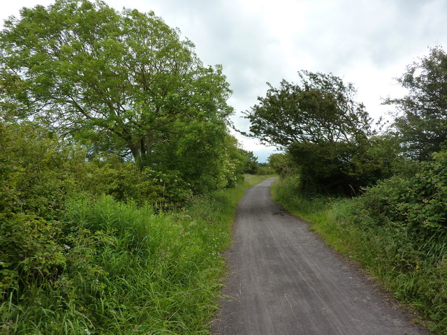
Heaton Marsh
Coastal Marsh, Saltings in Lancashire Lancaster
England
Heaton Marsh

The requested URL returned error: 429 Too Many Requests
If you have any feedback on the listing, please let us know in the comments section below.
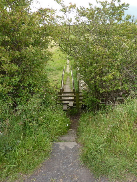
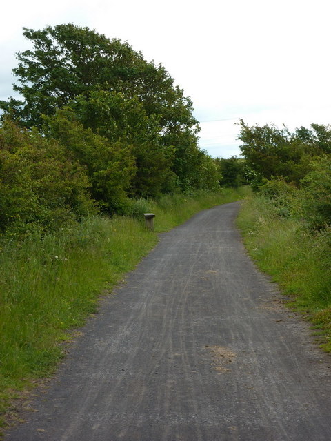
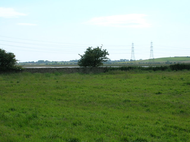
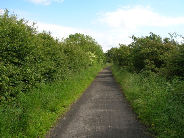
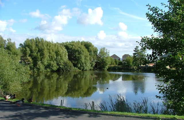
Heaton Marsh Images
Images are sourced within 2km of 54.031141/-2.8412844 or Grid Reference SD4459. Thanks to Geograph Open Source API. All images are credited.


Heaton Marsh is located at Grid Ref: SD4459 (Lat: 54.031141, Lng: -2.8412844)
Administrative County: Lancashire
District: Lancaster
Police Authority: Lancashire
What 3 Words
///shelf.sofas.effort. Near Overton, Lancashire
Nearby Locations
Related Wikis
Heaton-with-Oxcliffe
Heaton-with-Oxcliffe is a civil parish situated near the River Lune. it is in the City of Lancaster and the English county of Lancashire. The parish...

Aldcliffe
Aldcliffe is a hamlet, and former township and civil parish, now in the parish of Aldcliffe-with-Stodday, south-west of Lancaster, in the Lancaster district...

Abraham Heights
Abraham Heights is a suburb of Lancaster, Lancashire, England. == Geography == It is west of the city centre, with the River Lune to the north and west...

Aldcliffe Hall
Aldcliffe Hall was a 19th-century country house, now demolished, which replaced a previous mediaeval building, on the bank of the Lune estuary in Aldcliffe...
Nearby Amenities
Located within 500m of 54.031141,-2.8412844Have you been to Heaton Marsh?
Leave your review of Heaton Marsh below (or comments, questions and feedback).