Warton Sands
Coastal Marsh, Saltings in Lancashire Lancaster
England
Warton Sands
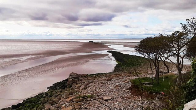
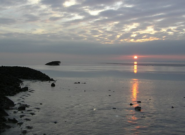
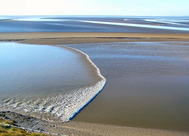
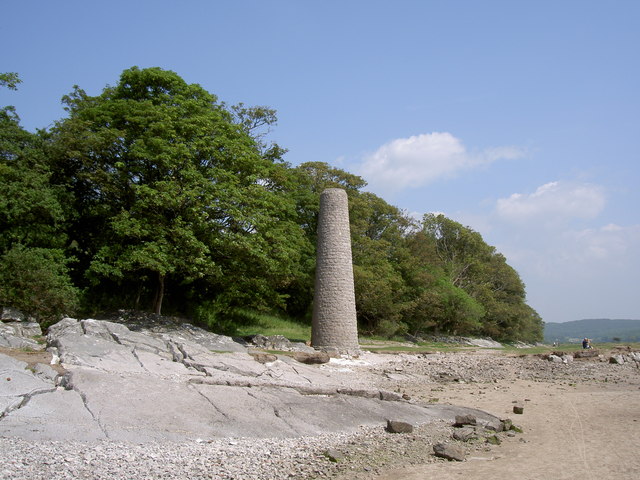
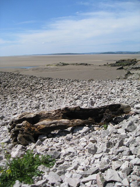
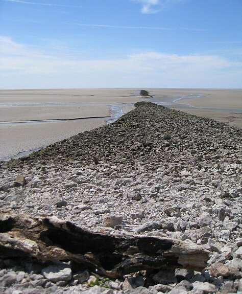
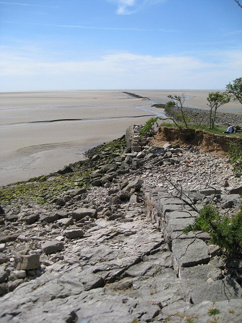
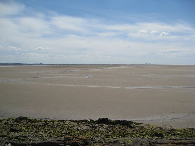
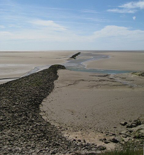
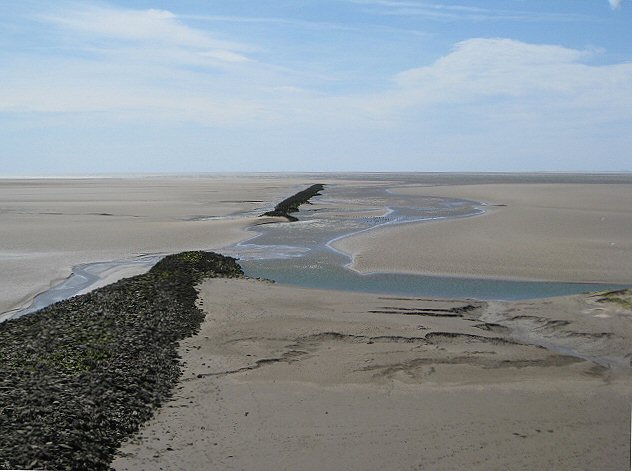
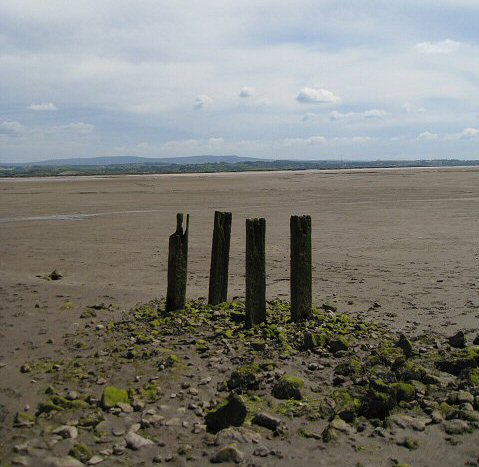
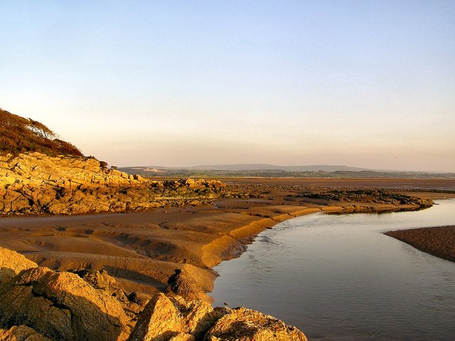
Warton Sands is a coastal marsh located in Lancashire, England. It is situated on the southern shore of Morecambe Bay, a large tidal bay in northwestern England. The sands stretch along the coast for approximately 2 miles and are known for their vast expanse of saltmarshes and saltings.
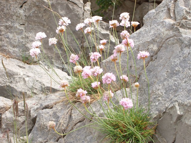
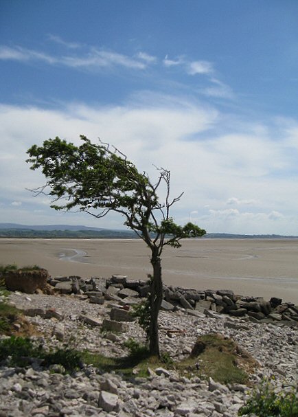
The marshland at Warton Sands is a designated Site of Special Scientific Interest (SSSI) due to its rich biodiversity and unique ecosystems. The area is home to a wide variety of plant and animal species that have adapted to the saltwater environment. The saltmarsh is characterized by its dense vegetation, consisting of grasses, herbs, and low-lying shrubs that can withstand the high salinity levels. It provides an important habitat for numerous bird species, including wading birds, ducks, and geese, which can be observed during different seasons.
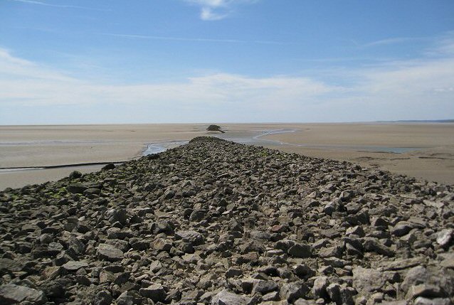
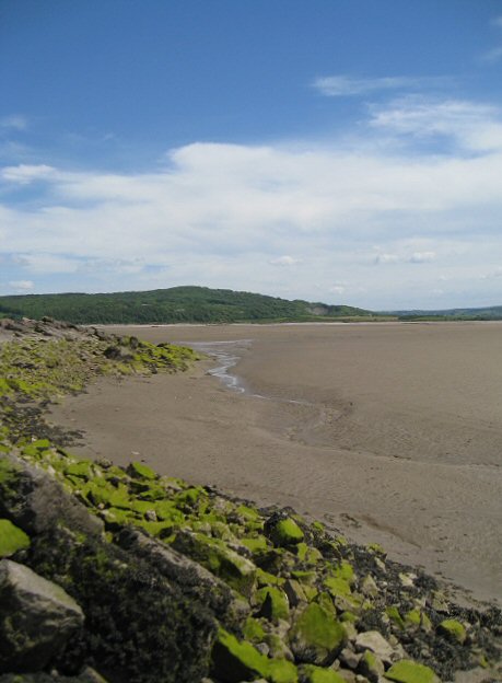
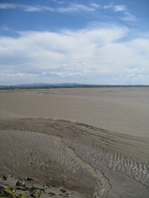
The tidal nature of Morecambe Bay means that the landscape at Warton Sands is constantly changing. The marshes are submerged during high tide, creating an ever-shifting environment for the flora and fauna. At low tide, a vast expanse of mudflats is exposed, attracting a variety of bird species that feed on the rich invertebrate life dwelling in the mud.
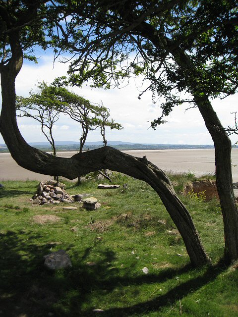
Warton Sands is a popular destination for nature enthusiasts, birdwatchers, and those interested in exploring the unique coastal environment. Visitors can enjoy walks along the shoreline, observing the diverse wildlife and taking in the breathtaking views of Morecambe Bay and the surrounding countryside. The area is also known for its tranquility and peacefulness, making it an ideal spot for relaxation and enjoying the beauty of nature.
If you have any feedback on the listing, please let us know in the comments section below.
Warton Sands Images
Images are sourced within 2km of 54.139845/-2.8456604 or Grid Reference SD4471. Thanks to Geograph Open Source API. All images are credited.
Warton Sands is located at Grid Ref: SD4471 (Lat: 54.139845, Lng: -2.8456604)
Administrative County: Lancashire
District: Lancaster
Police Authority: Lancashire
What 3 Words
///blanking.dampen.clutches. Near Silverdale, Lancashire
Nearby Locations
Related Wikis
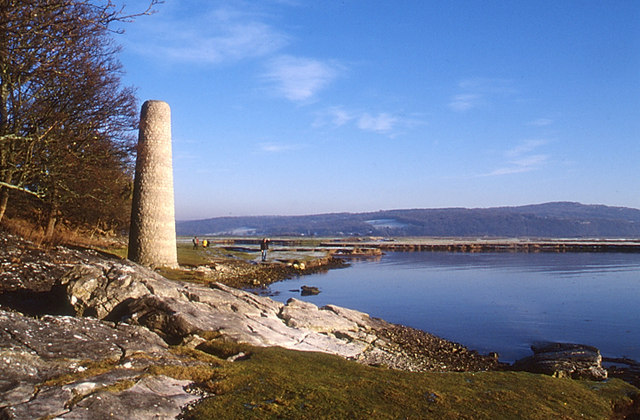
Jenny Brown's Point
Jenny Brown's Point is a small headland in Silverdale parish, south of the village of Silverdale, in City of Lancaster district, Lancashire, England, on...
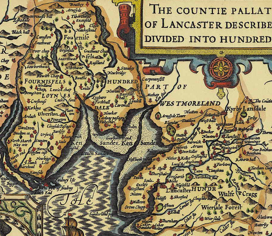
Lonsdale Hundred
The Lonsdale Hundred is an historic hundred of Lancashire, England. Although named after the dale or valley of the River Lune, which runs through the city...

Lindeth Tower
Lindeth Tower is a Victorian folly in Silverdale, Lancashire, England. It is an embattled square tower of three storeys. It was built in 1842 by the Preston...
Silverdale, Lancashire
Silverdale is a village and civil parish within the City of Lancaster district of Lancashire, England. The village stands on Morecambe Bay, near the border...
Have you been to Warton Sands?
Leave your review of Warton Sands below (or comments, questions and feedback).