Colloway Marsh
Coastal Marsh, Saltings in Lancashire Lancaster
England
Colloway Marsh

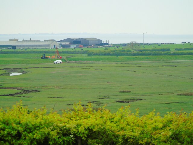
Colloway Marsh is a stunning coastal marshland located in Lancashire, England. It is renowned for its picturesque beauty and rich biodiversity, making it a popular destination for nature enthusiasts and birdwatchers.
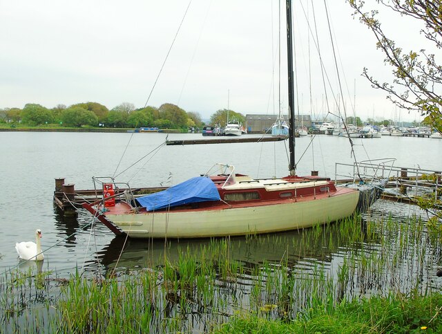
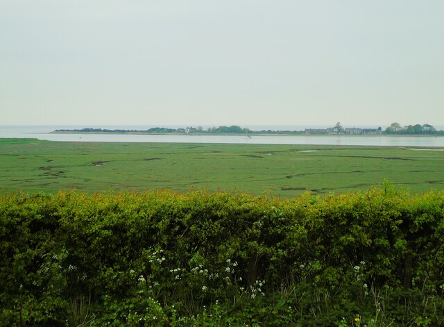
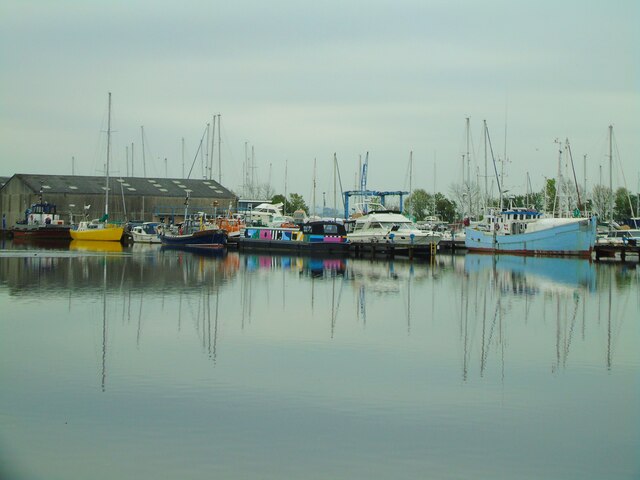
Stretching across a vast area, Colloway Marsh features a unique combination of salt marshes and saltings, which are characterized by their tidal mudflats and salt-tolerant vegetation. The marsh is situated at the confluence of the River Colloway and the Irish Sea, creating an ideal habitat for a diverse range of plant and animal species.
One of the marsh's most notable features is its extensive network of tidal creeks and channels, which are influenced by the ebb and flow of the tides. These channels provide important feeding grounds for various bird species, such as waders and waterfowl, particularly during the winter months when migratory birds flock to the area.
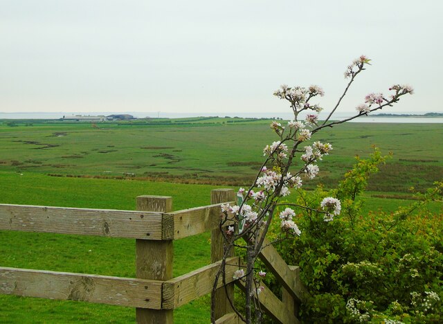
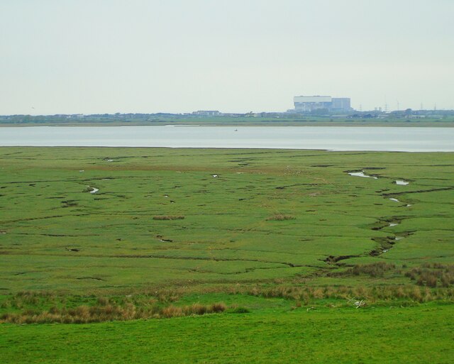
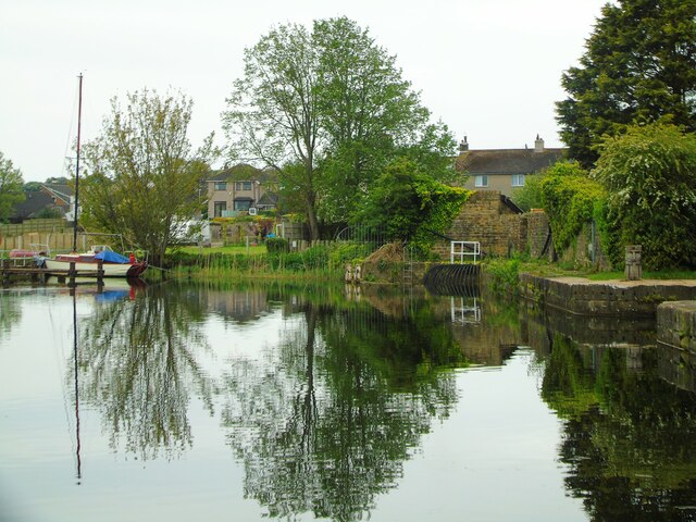
The vegetation found in Colloway Marsh is primarily saltmarsh grasses, samphire, and sea lavender, which thrive in the saline conditions. These plants play a crucial role in stabilizing the marshland and providing food and shelter for a multitude of species, including insects, fish, and birds.
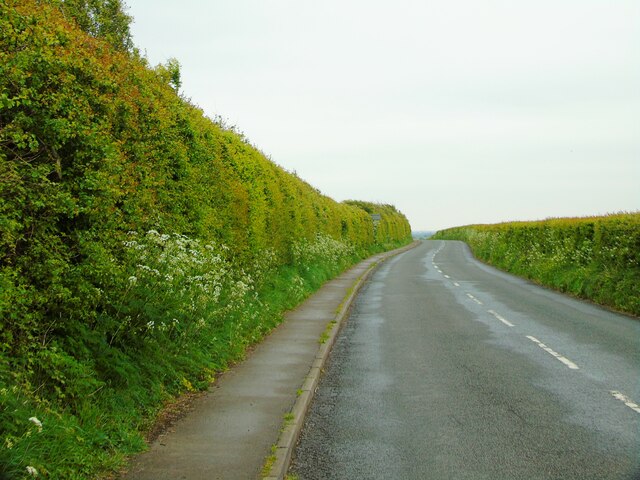
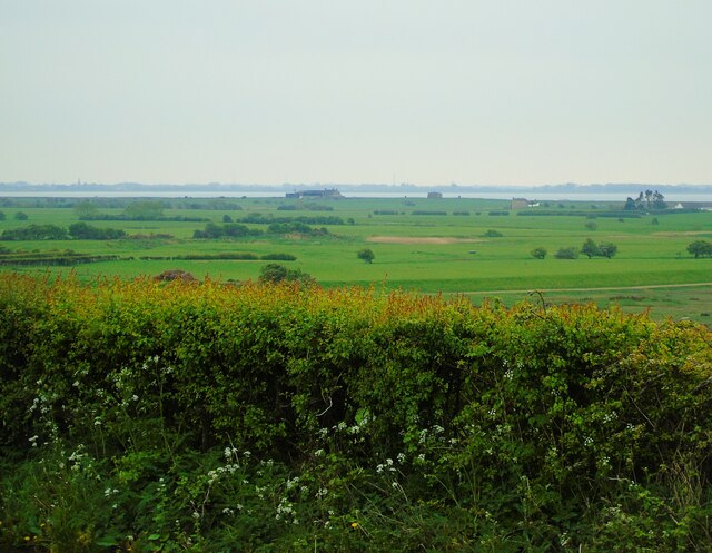
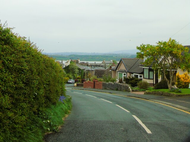
In addition to its ecological significance, Colloway Marsh offers visitors a range of recreational activities. There are well-maintained walking trails and bird hides throughout the marsh, allowing visitors to observe the wildlife in their natural habitat. The scenic beauty of the marsh, with its expansive views of the coastline and the distant hills, also provides an excellent backdrop for photography and relaxation.
Overall, Colloway Marsh in Lancashire is a haven of biodiversity and natural splendor, attracting both nature lovers and those seeking tranquility amidst a stunning coastal landscape.
If you have any feedback on the listing, please let us know in the comments section below.
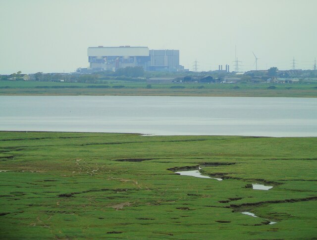
Colloway Marsh Images
Images are sourced within 2km of 54.010257/-2.8457612 or Grid Reference SD4457. Thanks to Geograph Open Source API. All images are credited.

Colloway Marsh is located at Grid Ref: SD4457 (Lat: 54.010257, Lng: -2.8457612)
Administrative County: Lancashire
District: Lancaster
Police Authority: Lancashire
What 3 Words
///whizzing.overt.tadpoles. Near Overton, Lancashire
Nearby Locations
Related Wikis
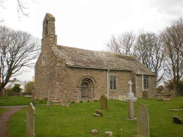
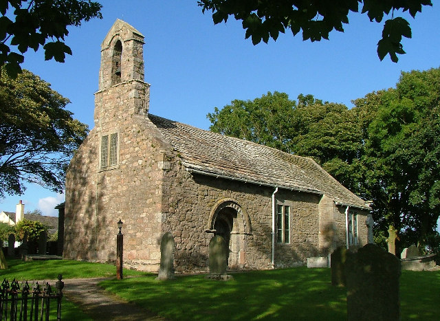
St Helen's Church, Overton
St Helen's Church, Overton, is located in Church Grove, Overton, Lancashire, England. It is an active Anglican parish church in the deanery of Lancaster...

Ashton Hall railway station
Ashton Hall railway station was a private halt in Lancashire, England. Located on the Glasson Dock branch line, it was opened to serve Ashton Hall, the...
Overton, Lancashire
Overton is a village and civil parish in Lancashire, England, south west of Lancaster and south of Morecambe between Heysham and the estuary of the River...

River Conder
The River Conder is a river in the English county of Lancashire. The source of the River Conder is a spring at Conder Head on Black Fell near Littledale...
Nearby Amenities
Located within 500m of 54.010257,-2.8457612Have you been to Colloway Marsh?
Leave your review of Colloway Marsh below (or comments, questions and feedback).