Chapel Pool
Sea, Estuary, Creek in Lancashire Lancaster
England
Chapel Pool

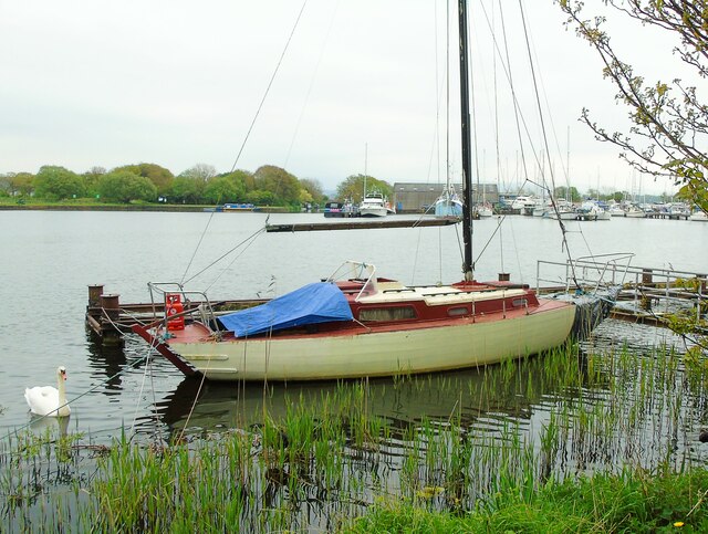
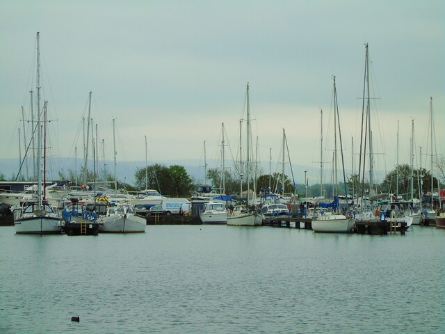
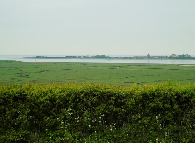
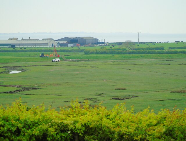
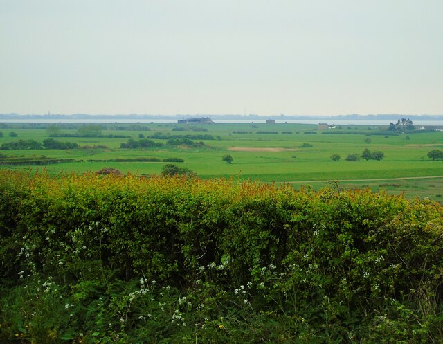
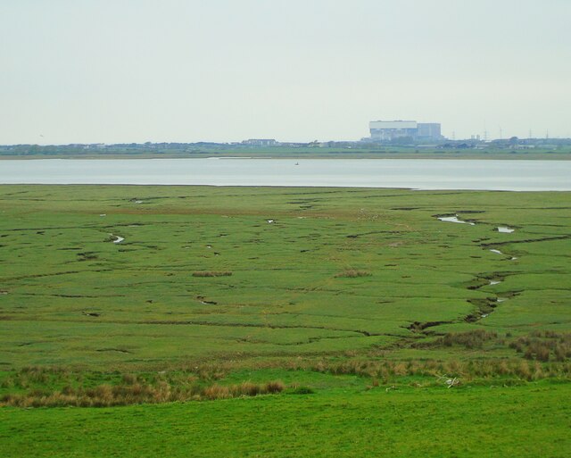
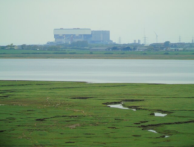
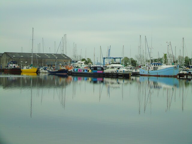
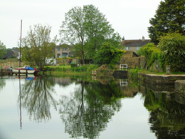
Chapel Pool is a scenic body of water located in Lancashire, England. Situated along the coastline, it lies between the towns of Lytham and St Anne's. This natural feature is formed by the convergence of the River Ribble and the Irish Sea, creating a unique estuary environment that attracts visitors and wildlife alike.
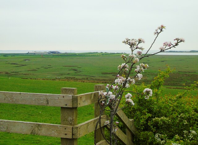
The pool itself is surrounded by picturesque sand dunes and salt marshes, providing a beautiful backdrop for outdoor enthusiasts and nature lovers. The area is a designated nature reserve, home to a diverse range of plant and animal species. The estuary is particularly important for birdlife, serving as a vital feeding and breeding ground for numerous species, including waders, seabirds, and waterfowls.
Chapel Pool offers visitors the opportunity to explore its peaceful surroundings and enjoy recreational activities such as birdwatching, walking, and photography. The tranquil atmosphere and scenic beauty make it a popular destination for both locals and tourists seeking a peaceful escape from the bustling city life.
Access to Chapel Pool is relatively easy, with nearby parking facilities and public transportation options available. There are also well-maintained footpaths and trails that allow visitors to explore the area and observe the diverse wildlife up close.
Overall, Chapel Pool in Lancashire is a natural gem that showcases the beauty of the coastal landscape and provides a haven for a wide range of flora and fauna. It is an ideal destination for those seeking a serene and enriching nature experience.
If you have any feedback on the listing, please let us know in the comments section below.
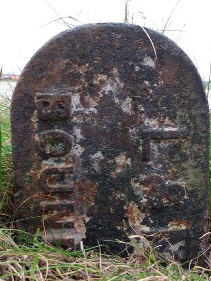
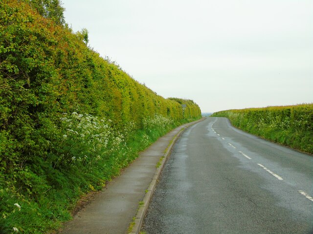
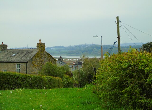
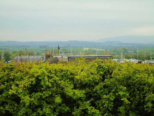
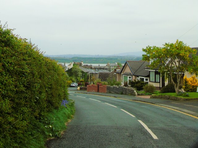
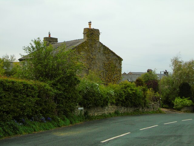
Chapel Pool Images
Images are sourced within 2km of 54.009518/-2.8524297 or Grid Reference SD4457. Thanks to Geograph Open Source API. All images are credited.

Chapel Pool is located at Grid Ref: SD4457 (Lat: 54.009518, Lng: -2.8524297)
Administrative County: Lancashire
District: Lancaster
Police Authority: Lancashire
What 3 Words
///weaned.eventful.reversed. Near Overton, Lancashire
Nearby Locations
Related Wikis
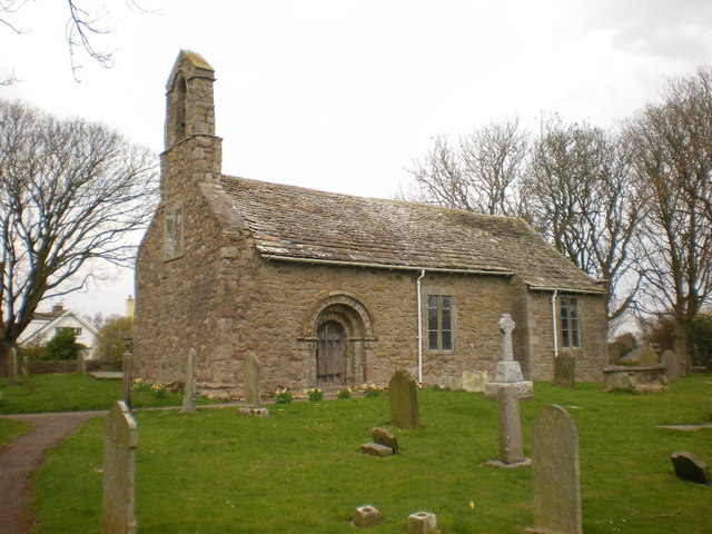
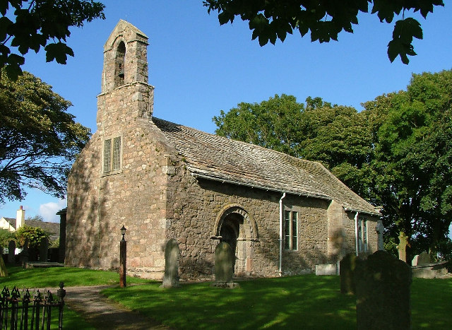
St Helen's Church, Overton
St Helen's Church, Overton, is located in Church Grove, Overton, Lancashire, England. It is an active Anglican parish church in the deanery of Lancaster...
Overton, Lancashire
Overton is a village and civil parish in Lancashire, England, south west of Lancaster and south of Morecambe between Heysham and the estuary of the River...

Glasson Dock
Glasson Dock, also known as Glasson, is a village in Lancashire, England, south of Lancaster at the mouth of the River Lune. In 2011, it had a population...

Ashton Hall railway station
Ashton Hall railway station was a private halt in Lancashire, England. Located on the Glasson Dock branch line, it was opened to serve Ashton Hall, the...
Nearby Amenities
Located within 500m of 54.009518,-2.8524297Have you been to Chapel Pool?
Leave your review of Chapel Pool below (or comments, questions and feedback).