Wandales Point
Coastal Feature, Headland, Point in Lancashire Lancaster
England
Wandales Point
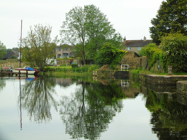
Wandales Point is a prominent headland located on the coast of Lancashire, England. Situated on the western edge of Morecambe Bay, this coastal feature is known for its stunning panoramic views and rich natural beauty.
The headland is characterized by its rugged cliffs, which rise steeply from the sea, creating an impressive and dramatic landscape. The cliffs are composed of various sedimentary rock formations, including sandstone and shale, which have been shaped over millions of years by the erosive forces of wind and water.
Wandales Point is home to a diverse range of wildlife, making it an important ecological site. The surrounding waters are abundant with marine life, including various species of fish and crustaceans. The headland also provides a nesting habitat for numerous seabirds, such as gulls and cormorants, which can be observed soaring above the cliffs.
Visitors to Wandales Point can enjoy a variety of recreational activities. The headland offers excellent opportunities for hiking and walking, with several well-maintained paths and trails that wind along the cliffs and provide breathtaking views of the coastline. On a clear day, it is possible to see as far as the Lake District and the Isle of Man from certain vantage points.
In addition to its natural beauty, Wandales Point is of historical significance. The headland was once a strategic location for defensive purposes, and remnants of ancient fortifications can still be seen in some areas. These archaeological remains serve as a reminder of the region's rich heritage and add an extra layer of intrigue to this already captivating coastal feature.
If you have any feedback on the listing, please let us know in the comments section below.
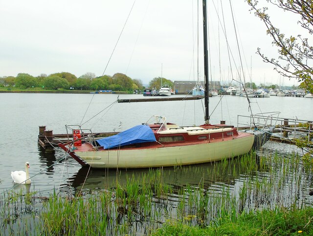
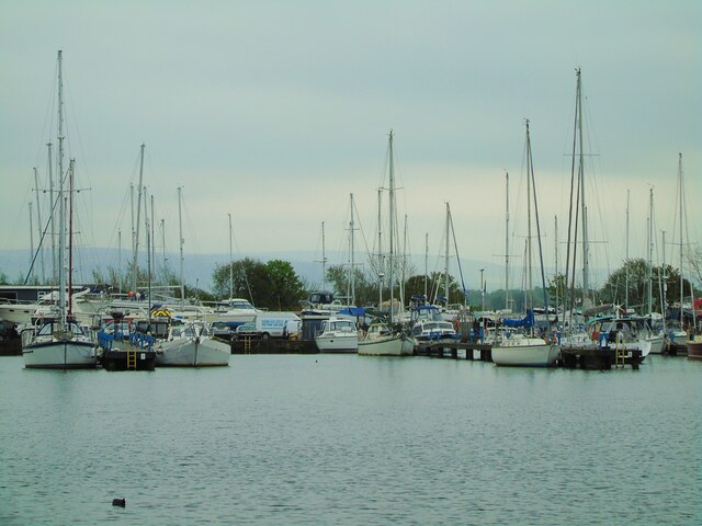
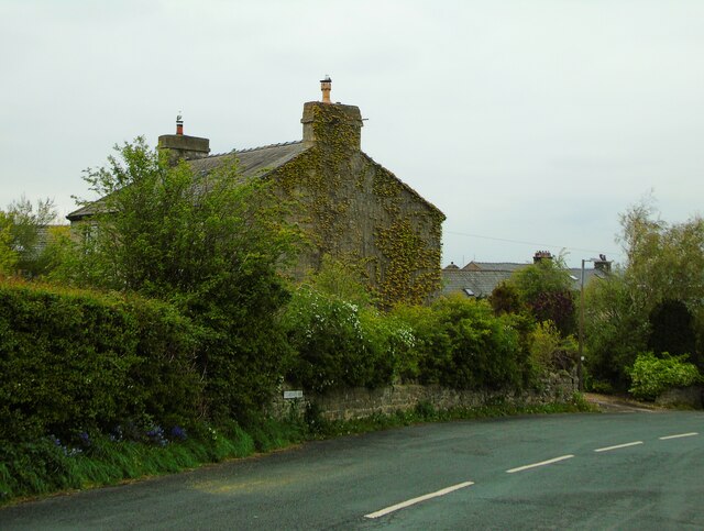
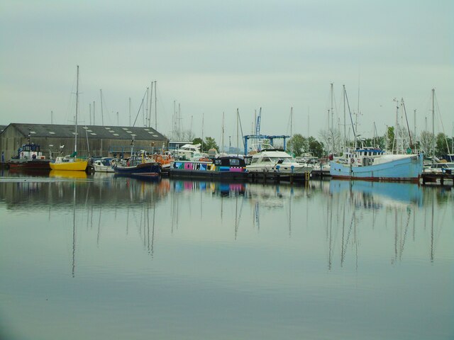
Wandales Point Images
Images are sourced within 2km of 54.014585/-2.8463679 or Grid Reference SD4457. Thanks to Geograph Open Source API. All images are credited.


Wandales Point is located at Grid Ref: SD4457 (Lat: 54.014585, Lng: -2.8463679)
Administrative County: Lancashire
District: Lancaster
Police Authority: Lancashire
What 3 Words
///chariots.cheese.irritate. Near Overton, Lancashire
Nearby Locations
Related Wikis
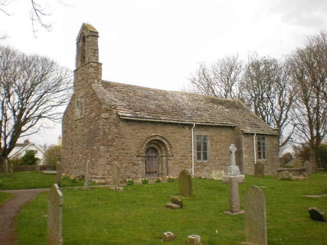
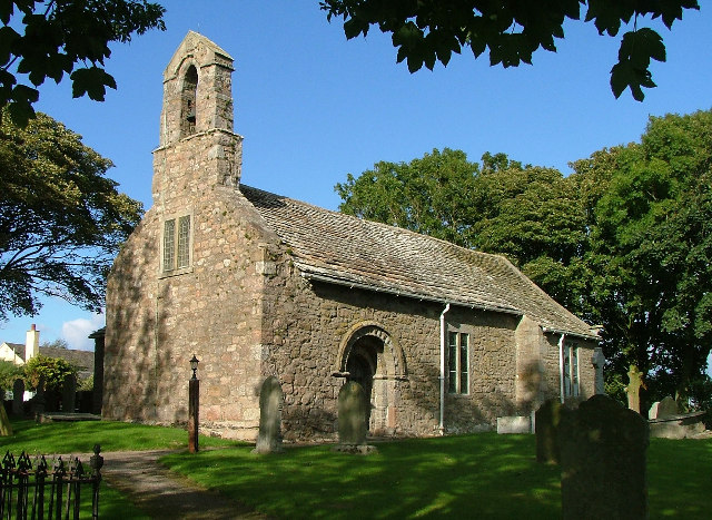
St Helen's Church, Overton
St Helen's Church, Overton, is located in Church Grove, Overton, Lancashire, England. It is an active Anglican parish church in the deanery of Lancaster...
Overton, Lancashire
Overton is a village and civil parish in Lancashire, England, south west of Lancaster and south of Morecambe between Heysham and the estuary of the River...

Ashton Hall railway station
Ashton Hall railway station was a private halt in Lancashire, England. Located on the Glasson Dock branch line, it was opened to serve Ashton Hall, the...

Cockersand Abbey chapter house
Cockersand Abbey chapter house is a mausoleum in the English village of Thurnham, Lancashire. A Grade I listed building and formerly part of Cockersand...
Nearby Amenities
Located within 500m of 54.014585,-2.8463679Have you been to Wandales Point?
Leave your review of Wandales Point below (or comments, questions and feedback).