Dunnal Point
Coastal Feature, Headland, Point in Lancashire Lancaster
England
Dunnal Point
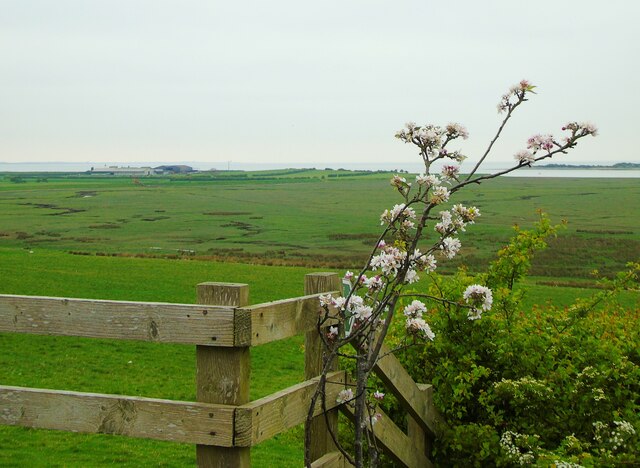
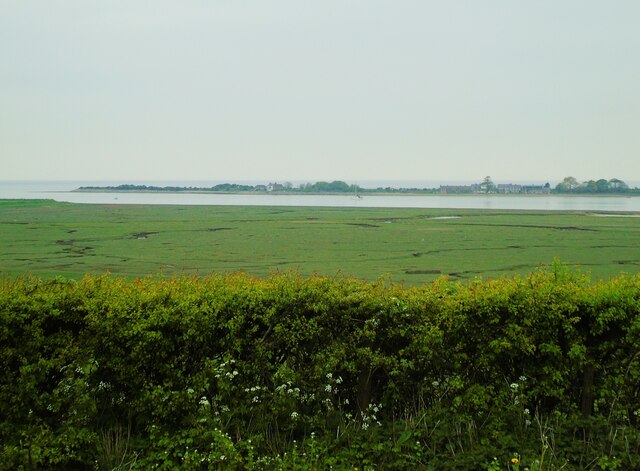
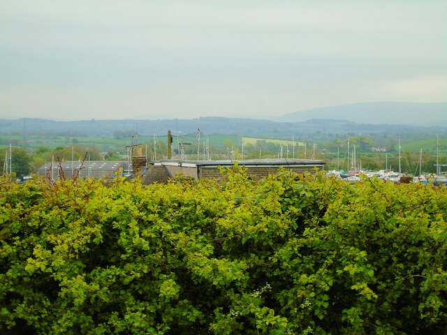
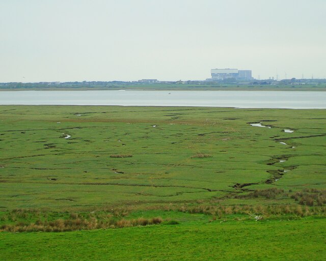
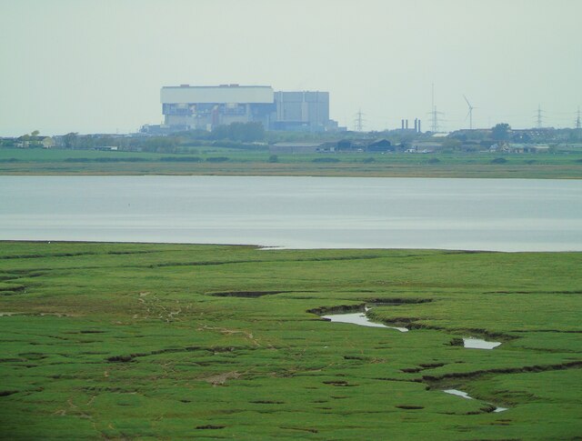
Dunnal Point is a prominent headland located on the coast of Lancashire, England. Situated on the Irish Sea, it is known for its stunning natural beauty and picturesque views. The point is formed by the erosion of the coastline, and its distinct shape juts out into the sea, providing a striking landmark along the shore.
The headland is characterized by rugged cliffs that rise steeply from the water, creating a dramatic backdrop against the crashing waves. These cliffs are composed of various types of sedimentary rocks, such as sandstone and shale, which have been shaped and sculpted by the relentless forces of the sea over thousands of years.
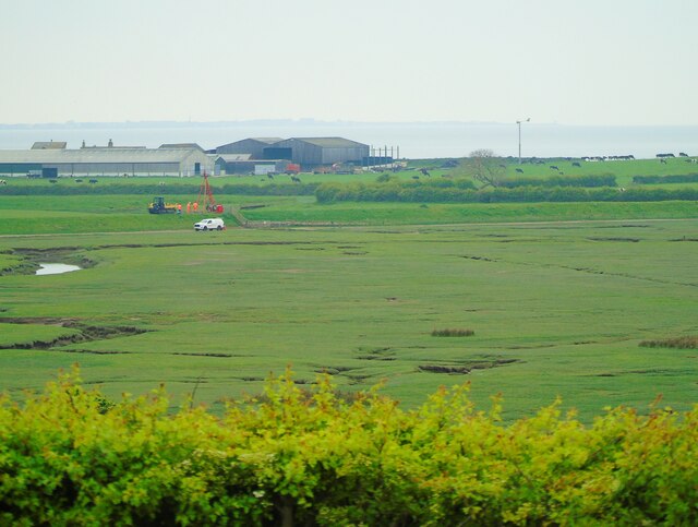
Dunnal Point offers visitors a unique opportunity to witness the power and beauty of nature. The area is a haven for wildlife, with numerous seabirds nesting along the cliffs, including puffins, gulls, and cormorants. The surrounding waters are also home to a diverse range of marine life, from seals and dolphins to various species of fish.
For those who enjoy outdoor activities, Dunnal Point provides an ideal location for hiking and exploring. There are several trails that wind along the cliffs, offering breathtaking views of the sea and the surrounding countryside. It is also a popular spot for birdwatching and photography enthusiasts, who flock to capture the stunning landscapes and wildlife.
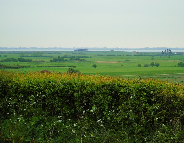
Overall, Dunnal Point is a captivating coastal feature that showcases the raw power of the sea and the beauty of the natural world. Its striking cliffs, diverse wildlife, and breathtaking views make it a must-visit destination for nature lovers and outdoor enthusiasts alike.
If you have any feedback on the listing, please let us know in the comments section below.
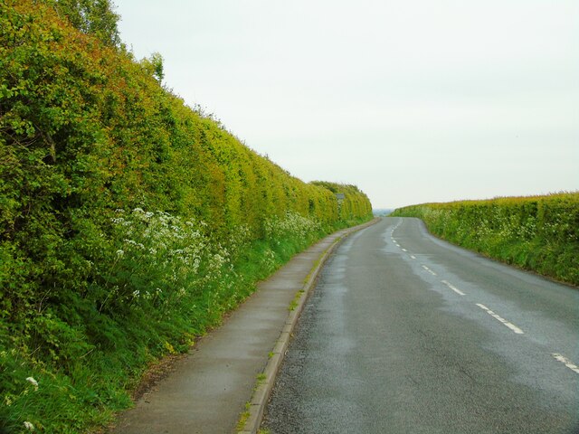
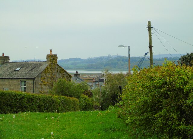
Dunnal Point Images
Images are sourced within 2km of 54.011606/-2.8496035 or Grid Reference SD4457. Thanks to Geograph Open Source API. All images are credited.
Dunnal Point is located at Grid Ref: SD4457 (Lat: 54.011606, Lng: -2.8496035)
Administrative County: Lancashire
District: Lancaster
Police Authority: Lancashire
What 3 Words
///themes.nuptials.myths. Near Overton, Lancashire
Nearby Locations
Related Wikis
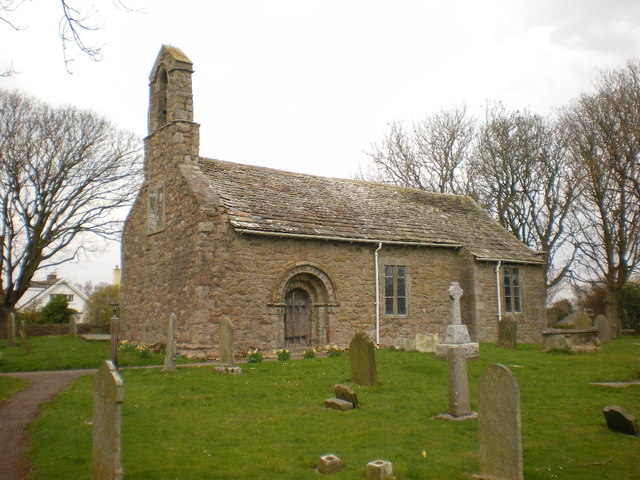
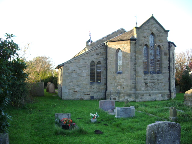
St Helen's Church, Overton
St Helen's Church, Overton, is located in Church Grove, Overton, Lancashire, England. It is an active Anglican parish church in the deanery of Lancaster...
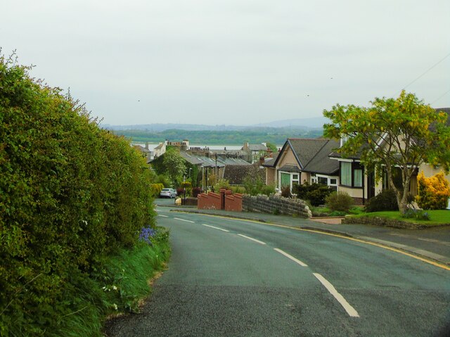
Overton, Lancashire
Overton is a village and civil parish in Lancashire, England, south west of Lancaster and south of Morecambe between Heysham and the estuary of the River...

Ashton Hall railway station
Ashton Hall railway station was a private halt in Lancashire, England. Located on the Glasson Dock branch line, it was opened to serve Ashton Hall, the...

Glasson Dock
Glasson Dock, also known as Glasson, is a village in Lancashire, England, south of Lancaster at the mouth of the River Lune. In 2011, it had a population...

River Conder
The River Conder is a river in the English county of Lancashire. The source of the River Conder is a spring at Conder Head on Black Fell near Littledale...

Glasson Dock railway station
Glasson Dock railway station served the town of Glasson Dock, in Thurnham, Lancashire, England, with trains to nearby Conder Green and Lancaster along...
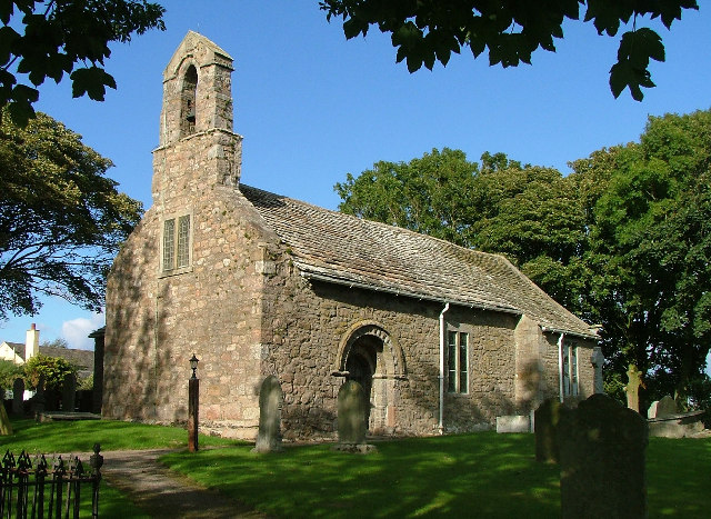
Christ Church, Glasson
Christ Church is in the village of Glasson, Lancashire, England. It is an active Anglican parish church in the deanery of Lancaster and Morecambe, the...

Cockersand Abbey chapter house
Cockersand Abbey chapter house is a mausoleum in the English village of Thurnham, Lancashire. A Grade I listed building and formerly part of Cockersand...
Nearby Amenities
Located within 500m of 54.011606,-2.8496035Have you been to Dunnal Point?
Leave your review of Dunnal Point below (or comments, questions and feedback).