Noust of Greeniber

Coastal Marsh, Saltings in Orkney

Scotland

Noust of Greeniber

Penny farthing sculpture, Flotta, Orkney This is one of several sculptures made of recycled materials which can be found on Flotta.  See also <a href="https://www.geograph.org.uk/photo/882445">ND3494 : Oystercatchers on Flotta</a> and <a href="https://www.geograph.org.uk/photo/1864035">ND3793 : Doodlebug</a>.

In the distance to the left can be seen Flotta Kirk which also lies within the grid square.
Penny farthing sculpture, Flotta, Orkney Credit: Claire Pegrum

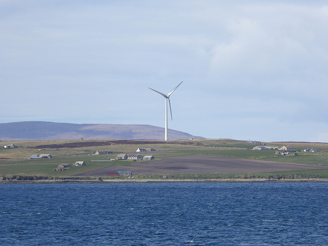
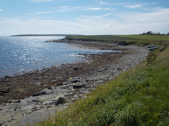
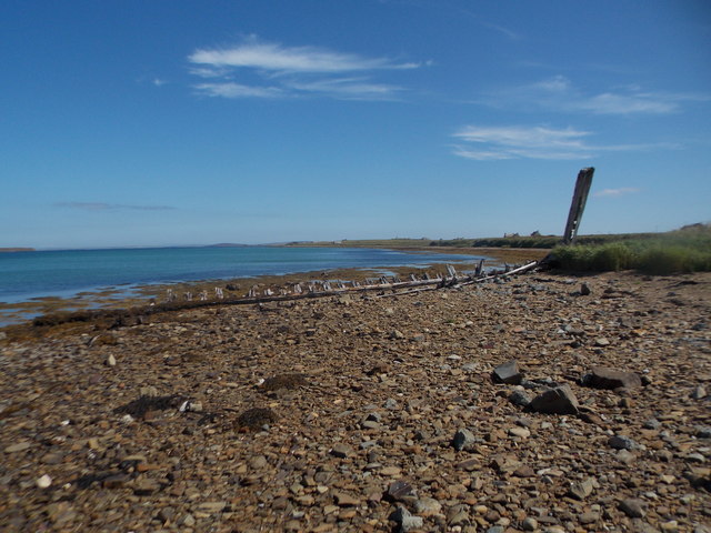
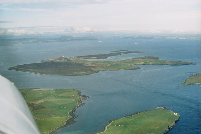
Noust of Greeniber is a coastal marsh and saltings located in Orkney, a group of islands situated north of mainland Scotland. This area is characterized by its unique natural features and diverse wildlife.

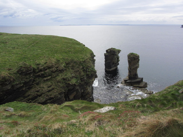
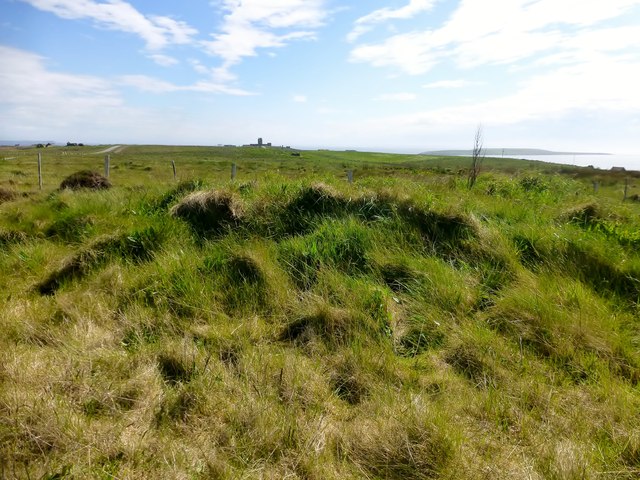
Stretching along the coastline, Noust of Greeniber encompasses a variety of habitats, including mudflats, salt marshes, and sand dunes. These habitats are shaped by the ebb and flow of the tides, creating a dynamic environment that supports a rich biodiversity. The marshes and saltings are particularly important for migratory birds, providing them with feeding grounds and a resting place during their long journeys.

The vegetation in Noust of Greeniber is adapted to the harsh coastal conditions, with salt-tolerant grasses, sedges, and rushes dominating the landscape. The area is also home to various species of wildflowers, such as sea aster and sea lavender, which add bursts of color to the marshes.

The diversity of bird species found in Noust of Greeniber is impressive. During the summer months, breeding waders like redshanks and lapwings can be observed nesting in the marshes. In the winter, the area becomes a haven for large flocks of migratory birds, including pink-footed geese and whooper swans.

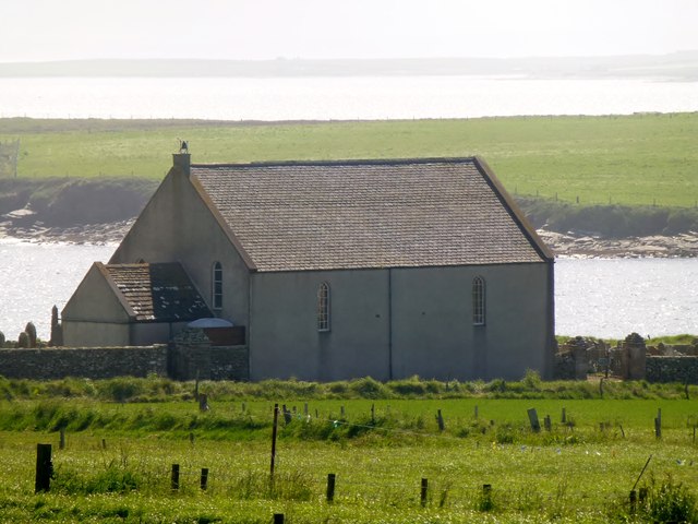
Aside from its ecological significance, Noust of Greeniber also holds historical and cultural value. The area has been shaped by human activity for centuries, with evidence of ancient settlements and agricultural practices. Today, it serves as a popular spot for nature enthusiasts, birdwatchers, and those seeking to explore the natural beauty and history of Orkney.

If you have any feedback on the listing, please let us know in the comments section below.

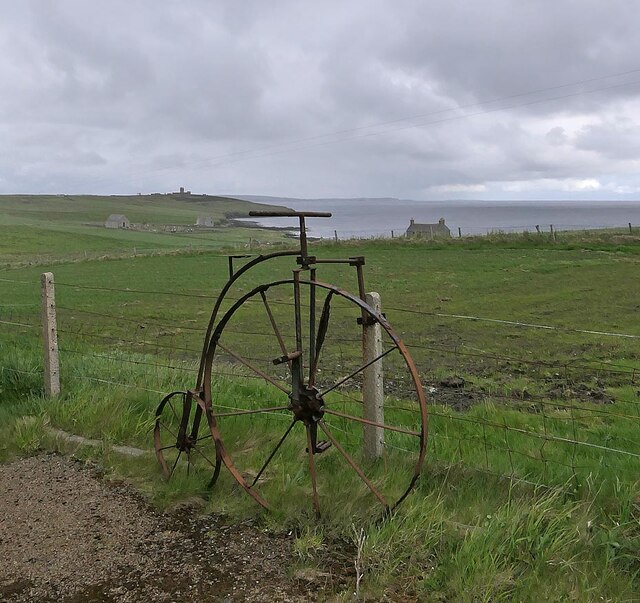
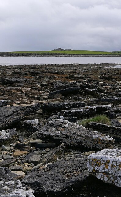
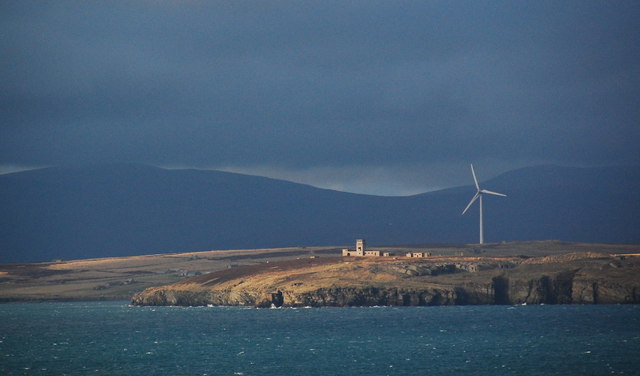
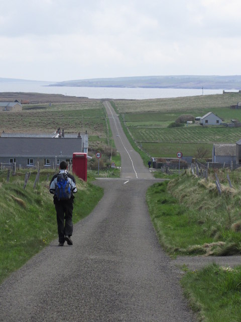
Noust of Greeniber Images

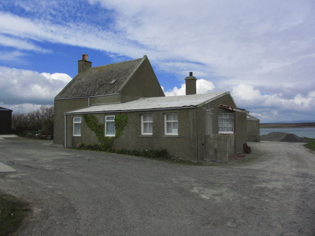
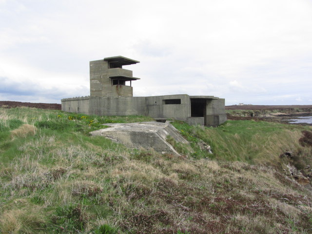
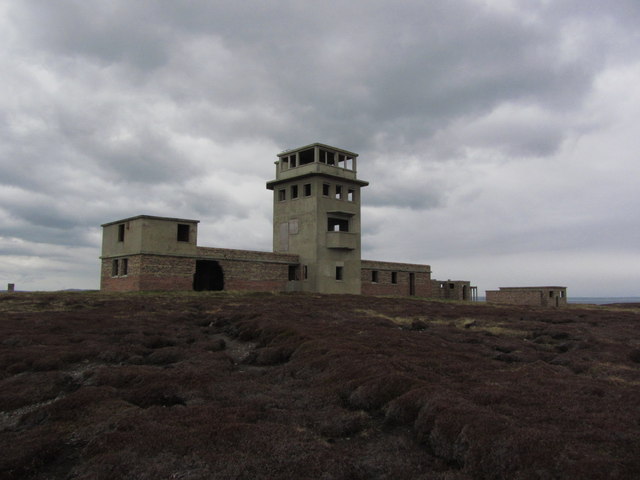
Images are sourced within 2km of 58.816848/-3.0914599 or Grid Reference ND3792. Thanks to Geograph Open Source API. All images are credited.

Penny farthing sculpture, Flotta, Orkney This is one of several sculptures made of recycled materials which can be found on Flotta.  See also <a href="https://www.geograph.org.uk/photo/882445">ND3494 : Oystercatchers on Flotta</a> and <a href="https://www.geograph.org.uk/photo/1864035">ND3793 : Doodlebug</a>.

In the distance to the left can be seen Flotta Kirk which also lies within the grid square.
Penny farthing sculpture, Flotta, Orkney
This is one of several sculptures made of recycled materials which can be found on Flotta. See also ND3494 : Oystercatchers on Flotta and ND3793 : Doodlebug. In the distance to the left can be seen Flotta Kirk which also lies within the grid square.
Kirkie Taing, Flotta, Orkney Looking across Kirk Bay towards the farm called Banks which also lies within the grid square.

This rocky outcrop, which is covered at high tide, lies to the south east of Flotta's church, or kirk.  Taing is derived from the Old Norse word Tangi meaning tongue.
Kirkie Taing, Flotta, Orkney
Looking across Kirk Bay towards the farm called Banks which also lies within the grid square. This rocky outcrop, which is covered at high tide, lies to the south east of Flotta's church, or kirk. Taing is derived from the Old Norse word Tangi meaning tongue.
Stone jetty, Flotta, Orkney Looking across Pan Hope to the Flotta oil terminal and the hills of Hoy beyond.
Stone jetty, Flotta, Orkney
Looking across Pan Hope to the Flotta oil terminal and the hills of Hoy beyond.
Stanger Head, Flotta The control tower for the WW2 coastal defences at Stanger Head is conspicuous in the sunlight. Flotta wind turbine beyond and the high hills of Hoy in the distance.
Stanger Head, Flotta
The control tower for the WW2 coastal defences at Stanger Head is conspicuous in the sunlight. Flotta wind turbine beyond and the high hills of Hoy in the distance.
Flotta 2007, aerial With Hoy and South Walls underneath, and Switha to the right.
Flotta 2007, aerial
With Hoy and South Walls underneath, and Switha to the right.
Flotta oil terminal 2007, aerial
Flotta;   Walking E across the island about to join B904
Flotta; Walking E across the island about to join B904
Flotta; the Peerie Museum An excellent little museum with an in-depth history of the island and much World Wars 1 and 2 memorabilia.
Flotta; the Peerie Museum
An excellent little museum with an in-depth history of the island and much World Wars 1 and 2 memorabilia.
Flotta; The Buchanan Battery
Flotta; The Cletts, Rock stacks at Stanger Head
Flotta; Signal station above Stanger Head
Kenzie's Tower Arrived by ferry to bag both TuMPs on Flotta with Alex Cameron, Jim Bloomer and Tricky Speirs on a sunny afternoon.
Name: Kenzie's Tower
Hill number: 12252
Height: 42m / 138ft
Parent (Ma/M): none
Area: 23: Orkney Islands
Class: 0
Grid ref: ND371933 (est)
Drop: 30m
Col: 12m  ND365938
Kenzie's Tower
Arrived by ferry to bag both TuMPs on Flotta with Alex Cameron, Jim Bloomer and Tricky Speirs on a sunny afternoon. Name: Kenzie's Tower Hill number: 12252 Height: 42m / 138ft Parent (Ma/M): none Area: 23: Orkney Islands Class: 0 Grid ref: ND371933 (est) Drop: 30m Col: 12m ND365938
A Small Kirk On Flotta A small Kirk on Flotta with a view of Kirk Bay.
A Small Kirk On Flotta
A small Kirk on Flotta with a view of Kirk Bay.
Islands of Switha and Flotta The uninhabited islet of Switha lies in the foreground. Beyond is the island of Flotta and Balaclava cottage. The wind turbine is on West Hill <a href="https://www.geograph.org.uk/gridref/ND3593">ND3593</a>, the highest point of Flotta. 

Viewed from the Orkney Ferry at ND377891.
Islands of Switha and Flotta
The uninhabited islet of Switha lies in the foreground. Beyond is the island of Flotta and Balaclava cottage. The wind turbine is on West Hill ND3593, the highest point of Flotta. Viewed from the Orkney Ferry at ND377891.
Isle of Flotta A relic of the World War II defences of Scapa Flow can be seen on Stanger Head in the foreground. Beyond is the wind turbine on West Hill <a href="https://www.geograph.org.uk/gridref/ND3593">ND3593</a> whilst the hills of Hoy can be seen in the distance. 

Viewed from the MV Pentalina at ND388912.
Isle of Flotta
A relic of the World War II defences of Scapa Flow can be seen on Stanger Head in the foreground. Beyond is the wind turbine on West Hill ND3593 whilst the hills of Hoy can be seen in the distance. Viewed from the MV Pentalina at ND388912.
Isle of Flotta A giant wind turbine crowns West Hill. The hills of Hoy beyond.
Isle of Flotta
A giant wind turbine crowns West Hill. The hills of Hoy beyond.
Flotta: west side of Kirk Bay Looking along the stony western shore of this bay on the southern side of the island.
Flotta: west side of Kirk Bay
Looking along the stony western shore of this bay on the southern side of the island.
Flotta: shipwreck on the shore of Pan Hope The remains of a boat on the shore, perhaps abandoned rather than grounded.
Flotta: shipwreck on the shore of Pan Hope
The remains of a boat on the shore, perhaps abandoned rather than grounded.
Show me another place!

Noust of Greeniber is located at Grid Ref: ND3792 (Lat: 58.816848, Lng: -3.0914599)

Unitary Authority: Orkney Islands

Police Authority: Highlands and Islands

What 3 Words

///jugs.difficult.foot. Near Lyness, Orkney Islands

Related Wikis

Whome

Whome is the largest settlement on the Orkney island of Flotta, Scotland. The village is situated on the B9046, the main road across Flotta. Views from...

Switha

Switha is a small uninhabited island towards the south of Orkney, Scotland, approximately 41 hectares in area. == Geography and geology == Switha lies...

Flotta

Flotta () is a small island in Orkney, Scotland, lying in Scapa Flow. The island is known for its large oil terminal and is linked by Orkney Ferries to...

Flotta Isle Airport

Flotta Isle Airport (IATA: FLH) is a small airport located on the Orkney isle of Flotta. The asphalt runway orientation is at 16/34, with an elevation...

Nearby Amenities

Located within 500m of 58.816848,-3.0914599
House Geo
Natural: bay
Lat/Long: 58.8150268/-3.0884274
Geo of Easter Riff
Natural: cape
Lat/Long: 58.8146268/-3.0849298
Kirkie Taing
Natural: cape
Lat/Long: 58.8181377/-3.0967101
Ling Geo
Natural: bay
Lat/Long: 58.8172822/-3.092676
Power: pole
Lat/Long: 58.8200801/-3.0917984
Power: pole
Lat/Long: 58.8207661/-3.0927774
The data included in this document is from www.openstreetmap.org. The data is made available under ODbL.

Have you been to Noust of Greeniber?

Leave your review of Noust of Greeniber below (or comments, questions and feedback).