Roonie Geo
Coastal Feature, Headland, Point in Orkney
Scotland
Roonie Geo
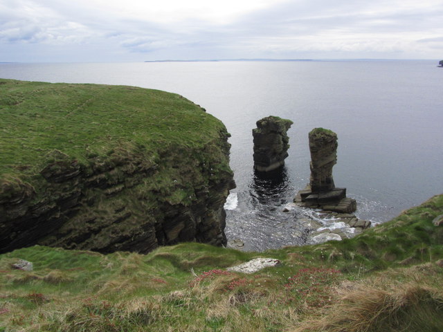
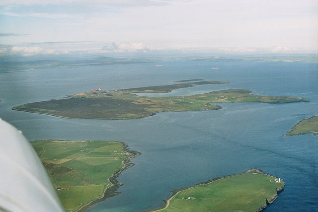
Roonie Geo is a prominent coastal feature located in Orkney, an archipelago situated off the northeastern coast of Scotland. It is specifically classified as a headland or point, jutting out into the North Sea. The name "Roonie Geo" originates from the local Scottish dialect, with "roonie" meaning "round" or "curved" and "geo" referring to a narrow, steep-sided cleft in the coastline.
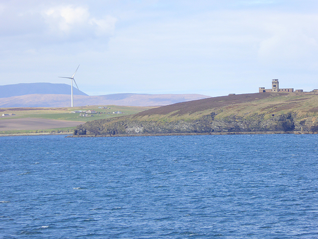
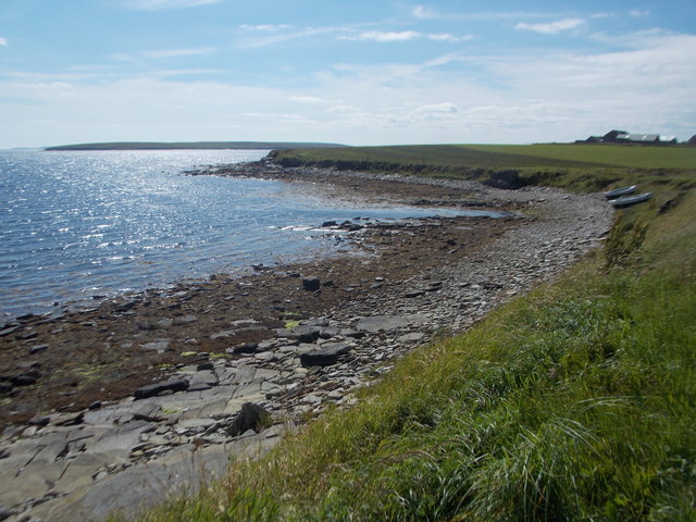
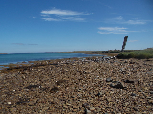
Roonie Geo is characterized by its rugged cliffs and rocky shoreline, which have been shaped by the relentless force of the sea over thousands of years. The headland offers breathtaking views of the surrounding coastal landscape, with its towering cliffs and crashing waves. The area is rich in wildlife, serving as a habitat for various seabirds, including puffins, guillemots, and razorbills, which nest along the cliff faces.
Visitors to Roonie Geo can enjoy activities such as coastal walks, birdwatching, and photography. The headland is easily accessible by foot, and there are well-maintained paths that provide safe and picturesque routes for exploration. The site is popular among nature enthusiasts and outdoor adventurers, who are drawn to its dramatic scenery and the opportunity to observe seabird colonies up close.
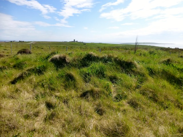
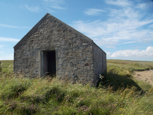
Roonie Geo is not only admired for its natural beauty but also holds archaeological significance. There are several ancient remains in the vicinity, including Neolithic burial mounds and Iron Age settlements, attesting to the long history of human activity in the area.
Overall, Roonie Geo stands as an exceptional coastal feature, offering a captivating blend of stunning landscapes, diverse wildlife, and a glimpse into Orkney's rich past.
If you have any feedback on the listing, please let us know in the comments section below.
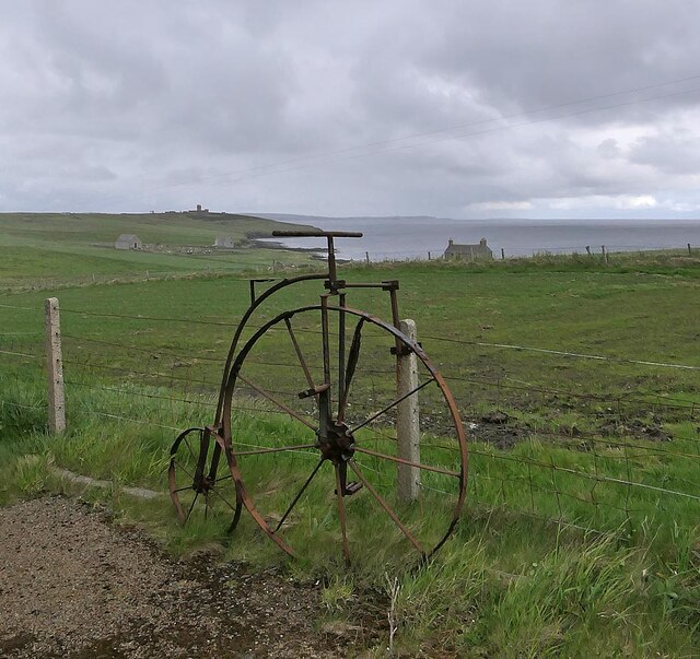
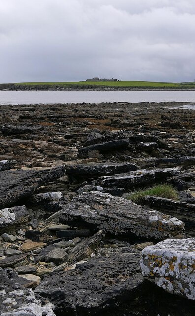
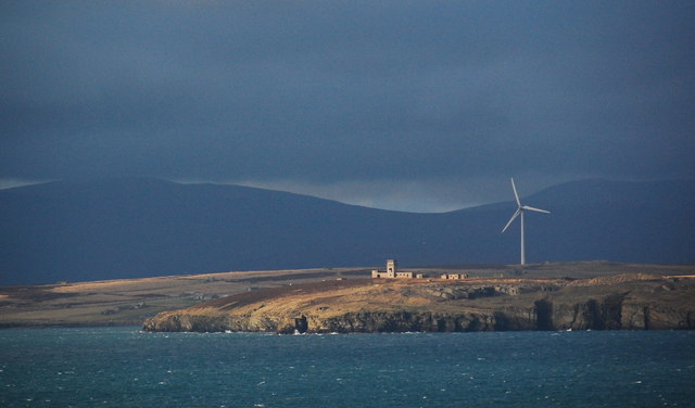
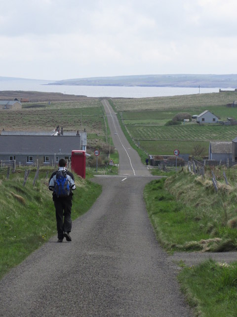
Roonie Geo Images
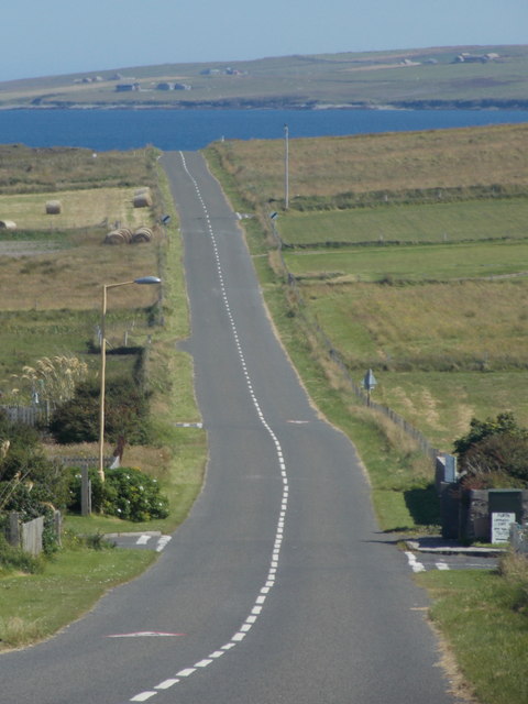
Images are sourced within 2km of 58.817947/-3.0793218 or Grid Reference ND3792. Thanks to Geograph Open Source API. All images are credited.

Roonie Geo is located at Grid Ref: ND3792 (Lat: 58.817947, Lng: -3.0793218)
Unitary Authority: Orkney Islands
Police Authority: Highlands and Islands
What 3 Words
///perusing.runways.fixated. Near St Margaret's Hope, Orkney Islands
Nearby Locations
Related Wikis

Whome
Whome is the largest settlement on the Orkney island of Flotta, Scotland. The village is situated on the B9046, the main road across Flotta. Views from...

Switha
Switha is a small uninhabited island towards the south of Orkney, Scotland, approximately 41 hectares in area. == Geography and geology == Switha lies...
Flotta
Flotta () is a small island in Orkney, Scotland, lying in Scapa Flow. The island is known for its large oil terminal and is linked by Orkney Ferries to...

Flotta Isle Airport
Flotta Isle Airport (IATA: FLH) is a small airport located on the Orkney isle of Flotta. The asphalt runway orientation is at 16/34, with an elevation...
Nearby Amenities
Located within 500m of 58.817947,-3.0793218Have you been to Roonie Geo?
Leave your review of Roonie Geo below (or comments, questions and feedback).