Kings Hard

Coastal Feature, Headland, Point in Orkney

Scotland

Kings Hard

Penny farthing sculpture, Flotta, Orkney This is one of several sculptures made of recycled materials which can be found on Flotta.  See also <a href="https://www.geograph.org.uk/photo/882445">ND3494 : Oystercatchers on Flotta</a> and <a href="https://www.geograph.org.uk/photo/1864035">ND3793 : Doodlebug</a>.

In the distance to the left can be seen Flotta Kirk which also lies within the grid square.
Penny farthing sculpture, Flotta, Orkney Credit: Claire Pegrum

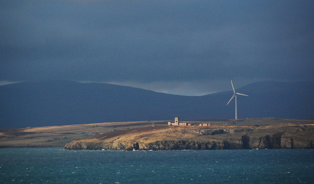
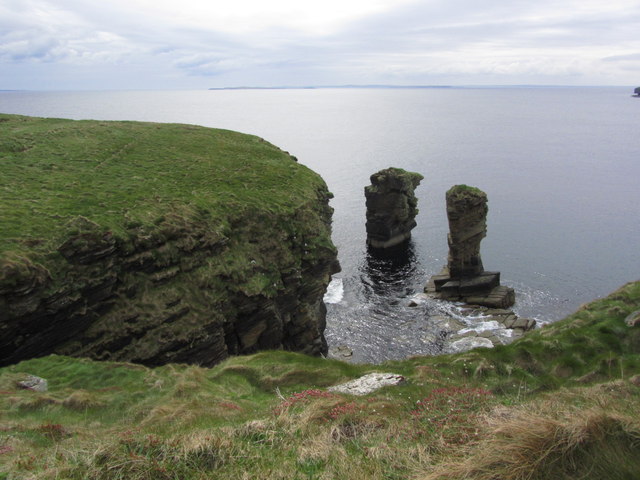
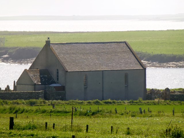
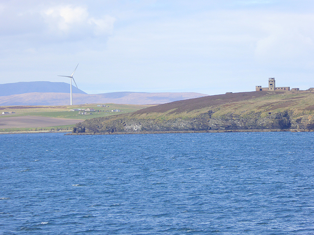
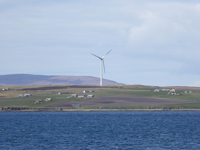
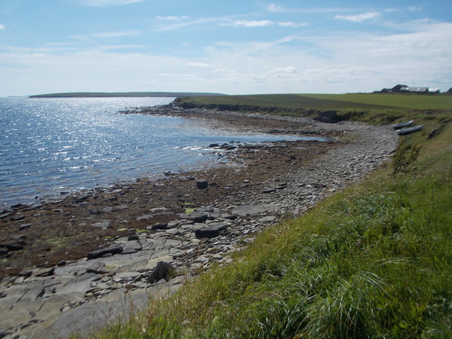
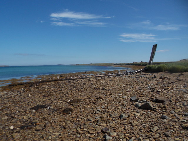
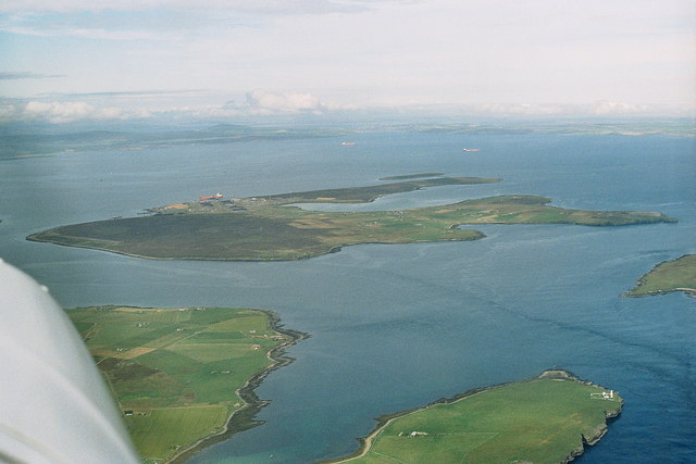
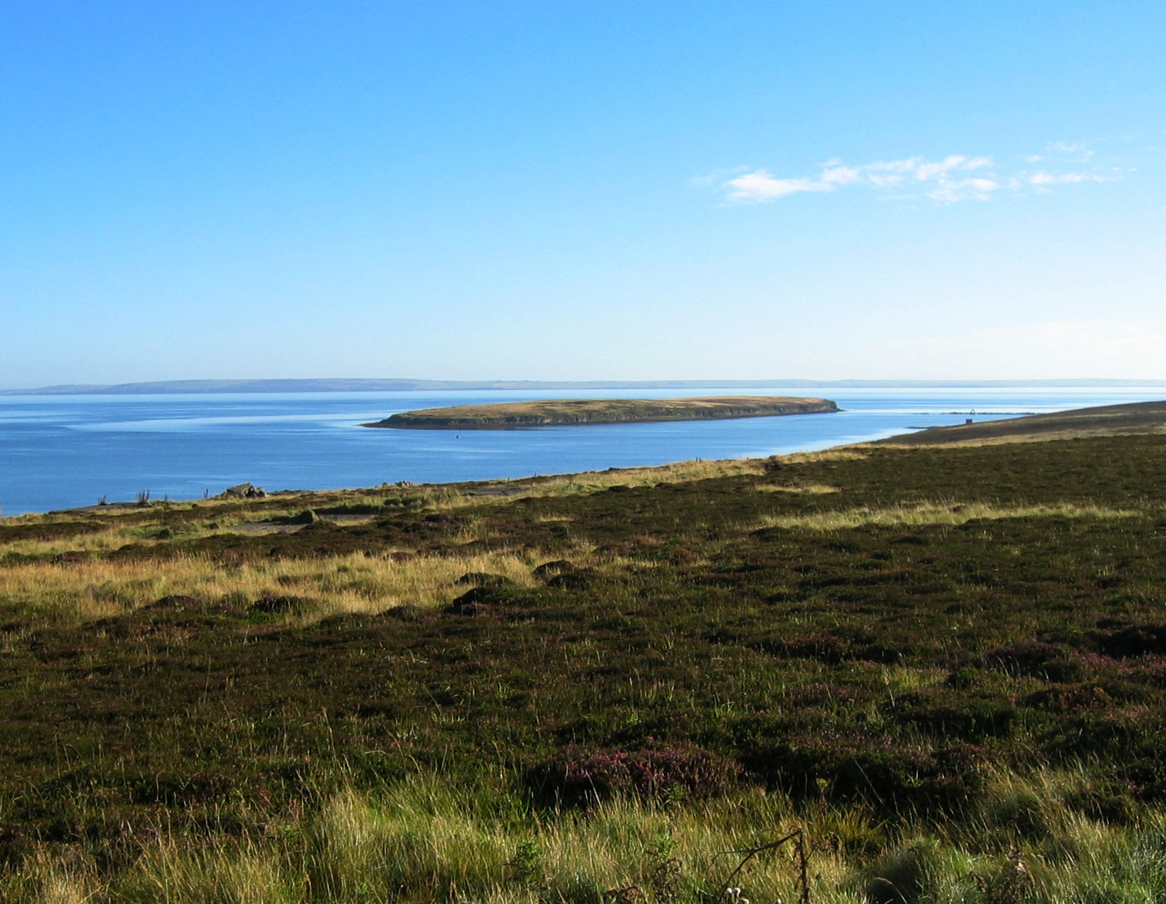
Kings Hard is a prominent coastal feature located on the island of Orkney, Scotland. Situated on the northeastern coast of the mainland, it is recognized as a headland or point that juts out into the North Sea. The area surrounding Kings Hard is known for its rugged and picturesque landscape, with cliffs rising dramatically from the sea.

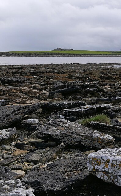
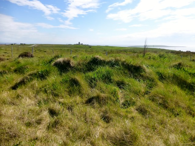
The headland itself is characterized by its rocky terrain, consisting of sandstone and other sedimentary rocks that have been shaped by erosion over thousands of years. The cliffs at Kings Hard reach impressive heights, providing breathtaking views of the surrounding coastline and the open sea beyond.

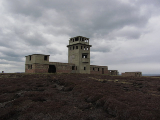
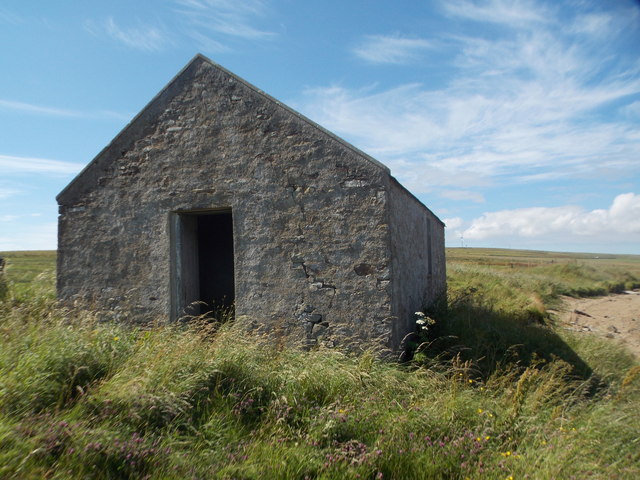
The name "Kings Hard" is believed to have historical significance, possibly referencing its use as a landing point for Viking ships or as a strategic location for defense during medieval times. The area is also known for its rich biodiversity, with various seabirds nesting along the cliffs and marine life thriving in the waters below.

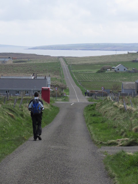
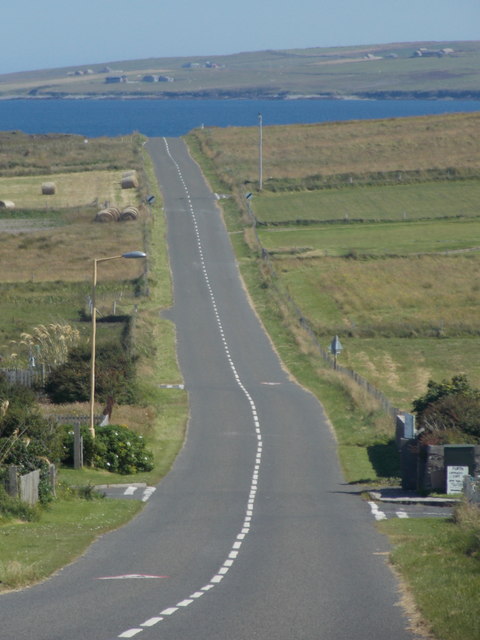
Access to Kings Hard is relatively easy, with a coastal path leading visitors to the headland. Upon reaching the point, visitors are rewarded with stunning panoramic views of the surrounding seascape. The area is popular with hikers, nature enthusiasts, and photographers, who come to admire the rugged beauty of this coastal feature.

In summary, Kings Hard is a striking headland located on the northeastern coast of Orkney, Scotland. Its rocky cliffs, historical significance, and stunning views make it a popular destination for visitors seeking to experience the natural beauty of this coastal region.

If you have any feedback on the listing, please let us know in the comments section below.

Kings Hard Images

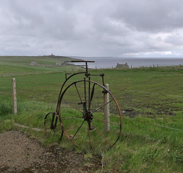
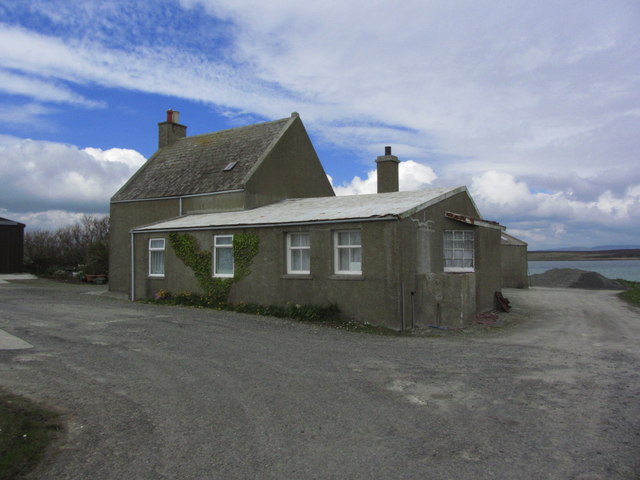
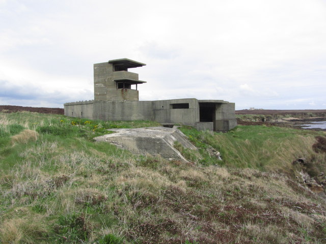
Images are sourced within 2km of 58.819231/-3.0804526 or Grid Reference ND3792. Thanks to Geograph Open Source API. All images are credited.

Penny farthing sculpture, Flotta, Orkney This is one of several sculptures made of recycled materials which can be found on Flotta.  See also <a href="https://www.geograph.org.uk/photo/882445">ND3494 : Oystercatchers on Flotta</a> and <a href="https://www.geograph.org.uk/photo/1864035">ND3793 : Doodlebug</a>.

In the distance to the left can be seen Flotta Kirk which also lies within the grid square.
Penny farthing sculpture, Flotta, Orkney
This is one of several sculptures made of recycled materials which can be found on Flotta. See also ND3494 : Oystercatchers on Flotta and ND3793 : Doodlebug. In the distance to the left can be seen Flotta Kirk which also lies within the grid square.
Kirkie Taing, Flotta, Orkney Looking across Kirk Bay towards the farm called Banks which also lies within the grid square.

This rocky outcrop, which is covered at high tide, lies to the south east of Flotta's church, or kirk.  Taing is derived from the Old Norse word Tangi meaning tongue.
Kirkie Taing, Flotta, Orkney
Looking across Kirk Bay towards the farm called Banks which also lies within the grid square. This rocky outcrop, which is covered at high tide, lies to the south east of Flotta's church, or kirk. Taing is derived from the Old Norse word Tangi meaning tongue.
Stone jetty, Flotta, Orkney Looking across Pan Hope to the Flotta oil terminal and the hills of Hoy beyond.
Stone jetty, Flotta, Orkney
Looking across Pan Hope to the Flotta oil terminal and the hills of Hoy beyond.
Stanger Head, Flotta The control tower for the WW2 coastal defences at Stanger Head is conspicuous in the sunlight. Flotta wind turbine beyond and the high hills of Hoy in the distance.
Stanger Head, Flotta
The control tower for the WW2 coastal defences at Stanger Head is conspicuous in the sunlight. Flotta wind turbine beyond and the high hills of Hoy in the distance.
Flotta;   Walking E across the island about to join B904
Flotta; Walking E across the island about to join B904
Flotta; the Peerie Museum An excellent little museum with an in-depth history of the island and much World Wars 1 and 2 memorabilia.
Flotta; the Peerie Museum
An excellent little museum with an in-depth history of the island and much World Wars 1 and 2 memorabilia.
Flotta; The Buchanan Battery
Flotta; The Cletts, Rock stacks at Stanger Head
Flotta; Signal station above Stanger Head
Kenzie's Tower Arrived by ferry to bag both TuMPs on Flotta with Alex Cameron, Jim Bloomer and Tricky Speirs on a sunny afternoon.
Name: Kenzie's Tower
Hill number: 12252
Height: 42m / 138ft
Parent (Ma/M): none
Area: 23: Orkney Islands
Class: 0
Grid ref: ND371933 (est)
Drop: 30m
Col: 12m  ND365938
Kenzie's Tower
Arrived by ferry to bag both TuMPs on Flotta with Alex Cameron, Jim Bloomer and Tricky Speirs on a sunny afternoon. Name: Kenzie's Tower Hill number: 12252 Height: 42m / 138ft Parent (Ma/M): none Area: 23: Orkney Islands Class: 0 Grid ref: ND371933 (est) Drop: 30m Col: 12m ND365938
A Small Kirk On Flotta A small Kirk on Flotta with a view of Kirk Bay.
A Small Kirk On Flotta
A small Kirk on Flotta with a view of Kirk Bay.
Isle of Flotta A relic of the World War II defences of Scapa Flow can be seen on Stanger Head in the foreground. Beyond is the wind turbine on West Hill <a href="https://www.geograph.org.uk/gridref/ND3593">ND3593</a> whilst the hills of Hoy can be seen in the distance. 

Viewed from the MV Pentalina at ND388912.
Isle of Flotta
A relic of the World War II defences of Scapa Flow can be seen on Stanger Head in the foreground. Beyond is the wind turbine on West Hill ND3593 whilst the hills of Hoy can be seen in the distance. Viewed from the MV Pentalina at ND388912.
Isle of Flotta A giant wind turbine crowns West Hill. The hills of Hoy beyond.
Isle of Flotta
A giant wind turbine crowns West Hill. The hills of Hoy beyond.
Flotta: west side of Kirk Bay Looking along the stony western shore of this bay on the southern side of the island.
Flotta: west side of Kirk Bay
Looking along the stony western shore of this bay on the southern side of the island.
Flotta: shipwreck on the shore of Pan Hope The remains of a boat on the shore, perhaps abandoned rather than grounded.
Flotta: shipwreck on the shore of Pan Hope
The remains of a boat on the shore, perhaps abandoned rather than grounded.
Flotta: an old chapel on the shore This forlorn, disused building appears on some old mapping (1930s) as a chapel, and even earlier maps going back to the 1880s mark a building here as a hospital. The door has a northing of 94003 according to my GPS, so it almost all stands in this gridsquare. See <a href="https://www.geograph.org.uk/photo/4612442">ND3694 : Flotta: inside the former chapel on the shore of Pan Hope</a> for the view inside which does indeed suggest use as a chapel.
Flotta: an old chapel on the shore
This forlorn, disused building appears on some old mapping (1930s) as a chapel, and even earlier maps going back to the 1880s mark a building here as a hospital. The door has a northing of 94003 according to my GPS, so it almost all stands in this gridsquare. See ND3694 : Flotta: inside the former chapel on the shore of Pan Hope for the view inside which does indeed suggest use as a chapel.
Flotta: inside the former chapel on the shore of Pan Hope The interior of <a href="https://www.geograph.org.uk/photo/4612440">ND3694 : Flotta: an old chapel on the shore</a> does indeed resemble a religious building, especially with a few stacked pews against the back wall. The slight remains of a notice on the back wall has what looks like a capital C and the start of possibly a lowercase h - perhaps the word Christ.
Flotta: inside the former chapel on the shore of Pan Hope
The interior of ND3694 : Flotta: an old chapel on the shore does indeed resemble a religious building, especially with a few stacked pews against the back wall. The slight remains of a notice on the back wall has what looks like a capital C and the start of possibly a lowercase h - perhaps the word Christ.
Flotta: the B9046 heads across the island Looking along this straight B road, the main road across the island, from the crossroads to the west of the main village.
Flotta: the B9046 heads across the island
Looking along this straight B road, the main road across the island, from the crossroads to the west of the main village.
Show me another place!

Kings Hard is located at Grid Ref: ND3792 (Lat: 58.819231, Lng: -3.0804526)

Unitary Authority: Orkney Islands

Police Authority: Highlands and Islands

What 3 Words

///directors.bongo.bluffing. Near St Margaret's Hope, Orkney Islands

Related Wikis

Whome

Whome is the largest settlement on the Orkney island of Flotta, Scotland. The village is situated on the B9046, the main road across Flotta. Views from...

Flotta

Flotta () is a small island in Orkney, Scotland, lying in Scapa Flow. The island is known for its large oil terminal and is linked by Orkney Ferries to...

Switha

Switha is a small uninhabited island towards the south of Orkney, Scotland, approximately 41 hectares in area. == Geography and geology == Switha lies...

Calf of Flotta

The Calf of Flotta is a small island in Scapa Flow, Orkney. The Calf is next to Flotta, with "Calf" deriving from Old Norse/Norn and meaning a smaller...

Nearby Amenities

Located within 500m of 58.819231,-3.0804526
Lensty
Natural: cape
Lat/Long: 58.8217371/-3.0807455
Sillock Geo
Natural: bay
Lat/Long: 58.8229146/-3.0821832
Fallen Gloup
Place: locality
Lat/Long: 58.8155601/-3.0787929
Ronie Geo
Natural: bay
Lat/Long: 58.8181044/-3.0789431
Seamark Light Character: Fl
Seamark Light Colour: red
Seamark Light Height: 25
Seamark Light Period: 5
Seamark Light Range: 8
Seamark Light Reference: A 3610.2
Seamark Light Sequence: 0.2+(4.8)
Seamark Type: light_minor
Source: US NGA Pub. 114. 2011-05-26.
Lat/Long: 58.8160333/-3.0788333
The data included in this document is from www.openstreetmap.org. The data is made available under ODbL.

Have you been to Kings Hard?

Leave your review of Kings Hard below (or comments, questions and feedback).