Foulney Hole
Coastal Marsh, Saltings in Lancashire Barrow-in-Furness
England
Foulney Hole
Foulney Hole is a small coastal marsh located in the county of Lancashire, England. Situated on the southern edge of Morecambe Bay, it is a designated Site of Special Scientific Interest (SSSI) due to its unique ecosystem and importance for wildlife conservation.
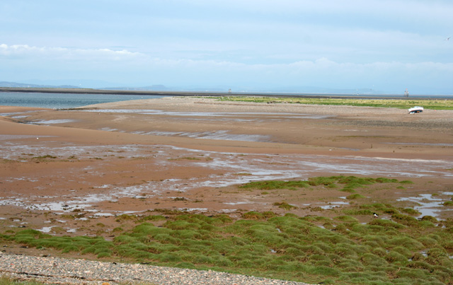
Covering an area of approximately 26 hectares, Foulney Hole is comprised of a mixture of salt marshes and mudflats known as saltings. These saline environments are formed by the regular tidal inundation of seawater, which creates a rich habitat for a diverse range of plant and animal species.
The marshland is characterized by its flat topography and is dominated by halophytic plants such as sea aster, sea purslane, and sea lavender. These plants have adapted to the high salt content of the soil and play a crucial role in stabilizing the marsh ecosystem.
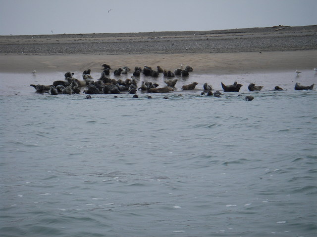
Foulney Hole is particularly renowned for its bird population, attracting numerous species throughout the year. It serves as an important breeding ground and feeding site for waders such as redshanks, curlews, and oystercatchers. During the winter months, large numbers of migratory birds, including brent geese and wigeons, can be observed here.
Access to Foulney Hole is limited due to its sensitive nature and the need to protect its fragile ecosystem. However, there are designated footpaths and bird hides available for visitors to observe and appreciate the wildlife in a responsible manner.
Overall, Foulney Hole is a valuable coastal marshland in Lancashire, providing a crucial habitat for numerous plant and animal species, particularly birds. Its unique features and conservation efforts have made it a significant area for scientific study and wildlife enthusiasts alike.
If you have any feedback on the listing, please let us know in the comments section below.
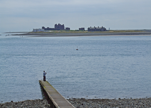
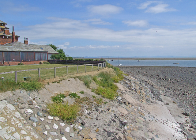
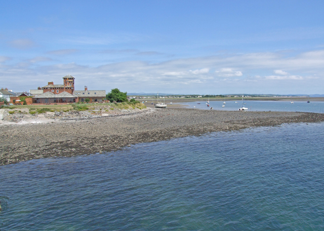
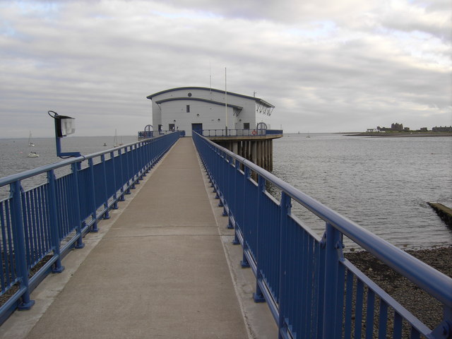
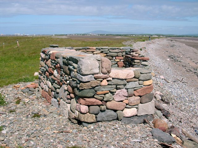
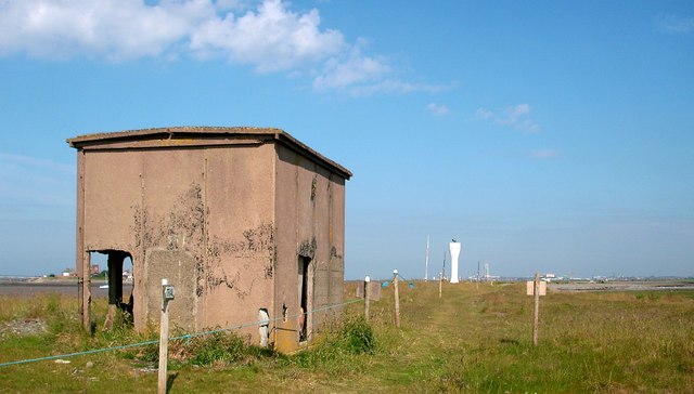
Foulney Hole Images
Images are sourced within 2km of 54.062104/-3.148675 or Grid Reference SD2463. Thanks to Geograph Open Source API. All images are credited.
Foulney Hole is located at Grid Ref: SD2463 (Lat: 54.062104, Lng: -3.148675)
Administrative County: Cumbria
District: Barrow-in-Furness
Police Authority: Cumbria
What 3 Words
///smoker.locals.detonated. Near Barrow in Furness, Cumbria
Nearby Locations
Related Wikis

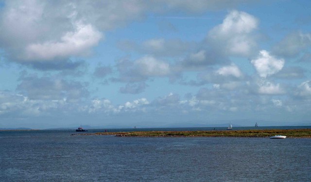
Foulney Island
Foulney Island is a low-lying grass and shingle area 1 mile (1.6 km) to the south-east of Roa Island, off the southern tip of the Furness Peninsula in...

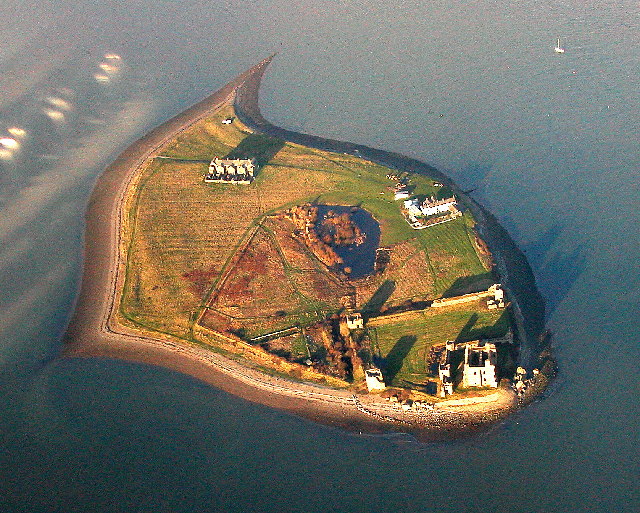
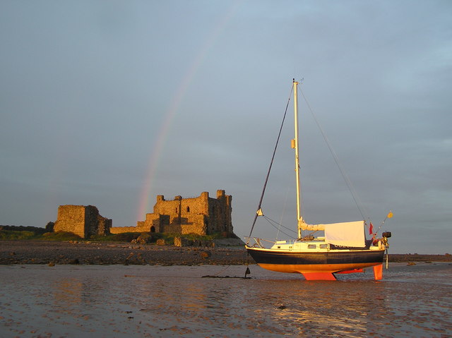
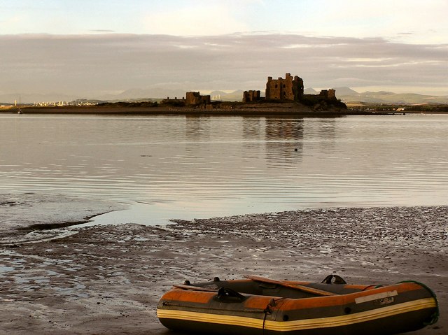
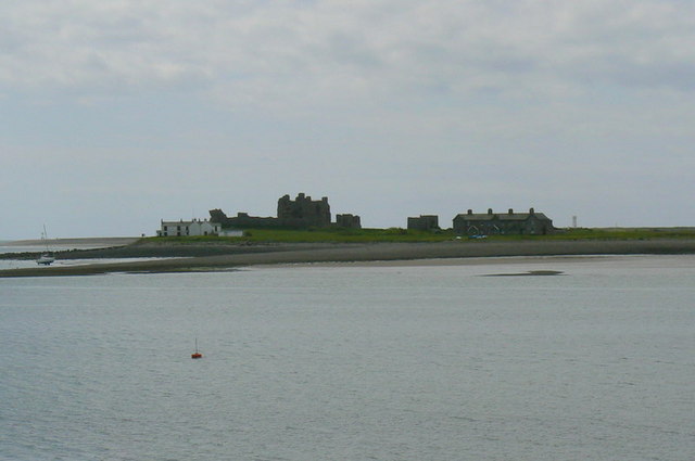
Piel Castle
Piel Castle, also known as Fouldry Castle or the Pile of Fouldray, is a castle situated on the south-eastern point of Piel Island, off the coast of the...

Piel Island
Piel Island lies in Morecambe Bay , around 1⁄2 mile (800 metres) off the southern tip of the Furness peninsula in the administrative county of Cumbria...
Roa Island
Roa Island lies just over half a mile (1 km) south of the village of Rampside at the southernmost point of the Furness Peninsula in Westmorland and Furness...
Nearby Amenities
Located within 500m of 54.062104,-3.148675Have you been to Foulney Hole?
Leave your review of Foulney Hole below (or comments, questions and feedback).