Rampside Sands
Coastal Marsh, Saltings in Lancashire Barrow-in-Furness
England
Rampside Sands
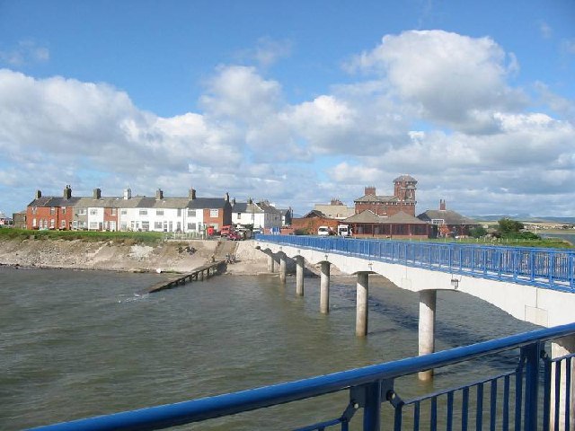
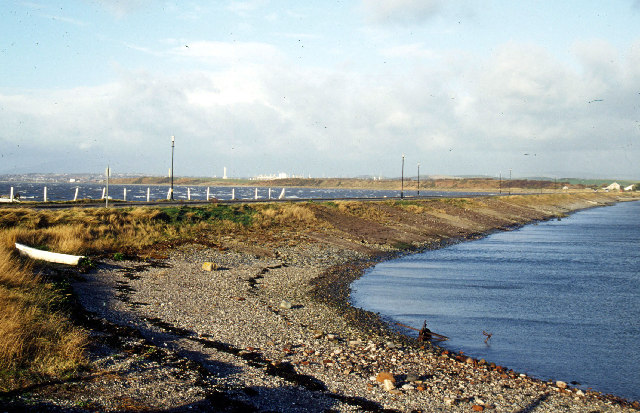
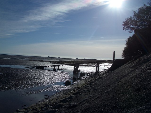
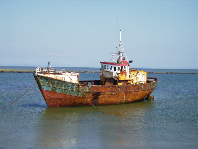
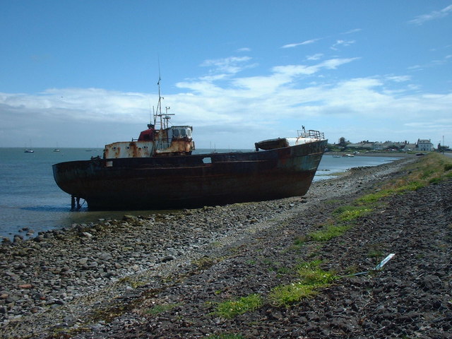
Rampside Sands is a picturesque coastal area located in Lancashire, England. Situated near the coastal village of Rampside, the sands stretch along the southern edge of the Walney Island, overlooking the Irish Sea. This area is known for its unique coastal marshes and saltings, making it a popular destination for nature enthusiasts and birdwatchers.
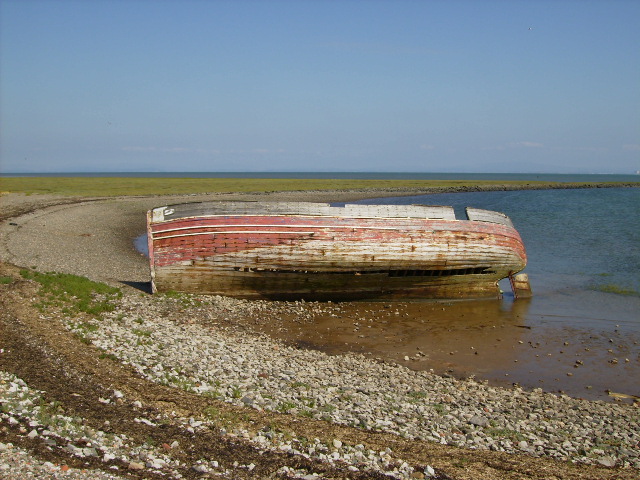
The landscape of Rampside Sands is characterized by vast expanses of sandy beaches, dunes, and salt marshes. The marshes are a result of the tidal influence, with the ebb and flow of the sea creating a diverse habitat for various wildlife species. The marshes are home to a wide range of bird species, including wading birds such as redshanks, curlews, and oystercatchers. The area is also visited by migratory birds during the winter months, making it an important site for bird conservation.
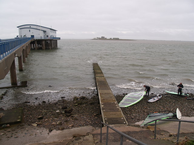
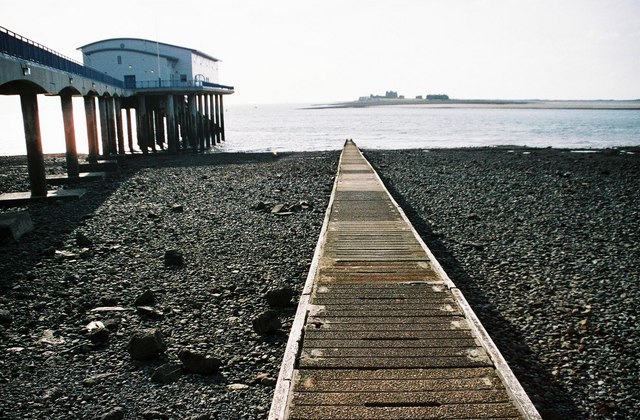
In addition to the rich birdlife, Rampside Sands offers breathtaking views of the Irish Sea and the nearby wind turbines at the Walney Wind Farm. The sandy beaches are perfect for leisurely walks, picnics, and beachcombing, while the dunes provide a sense of tranquility and seclusion.
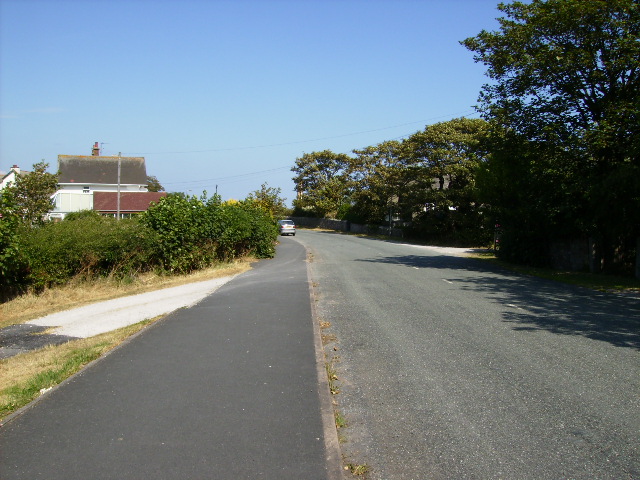
Rampside Sands is easily accessible, with a car park available for visitors. The area is also connected to the nearby town of Barrow-in-Furness via a coastal footpath, allowing for longer hikes and exploration. Whether you are a nature lover, a bird enthusiast, or simply seeking a peaceful coastal retreat, Rampside Sands offers a captivating and serene environment to explore and enjoy.
If you have any feedback on the listing, please let us know in the comments section below.
Rampside Sands Images
Images are sourced within 2km of 54.080422/-3.1496089 or Grid Reference SD2465. Thanks to Geograph Open Source API. All images are credited.


Rampside Sands is located at Grid Ref: SD2465 (Lat: 54.080422, Lng: -3.1496089)
Administrative County: Cumbria
District: Barrow-in-Furness
Police Authority: Cumbria
What 3 Words
///patrolled.tune.brimmed. Near Barrow in Furness, Cumbria
Nearby Locations
Related Wikis

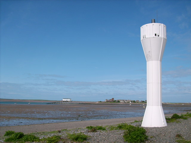
Rampside Leading Light
Rampside Leading Light, also known as "The Needle", is a leading light (navigation beacon) located in the Rampside area of Barrow-in-Furness, Cumbria,...

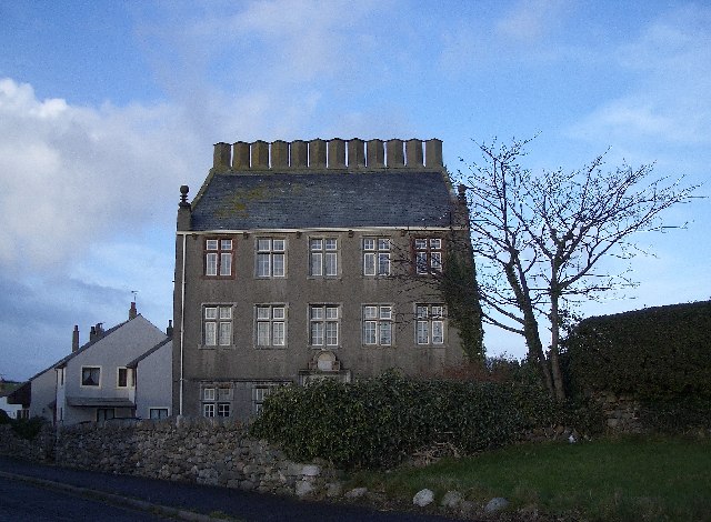
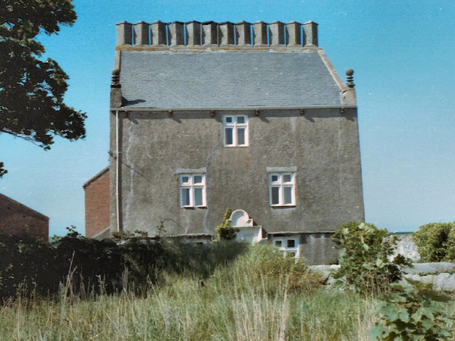
Rampside Hall
Rampside Hall is a Grade I listed building in the Rampside area of Barrow-in-Furness, Cumbria, England. It is one of only three Grade I listed buildings...

Rampside
Rampside is a village in Cumbria, England. Historically in Lancashire, it is located a few miles south-east of the town of Barrow-in-Furness, in the north...

Foulney Island
Foulney Island is a low-lying grass and shingle area 1 mile (1.6 km) to the south-east of Roa Island, off the southern tip of the Furness Peninsula in...
Have you been to Rampside Sands?
Leave your review of Rampside Sands below (or comments, questions and feedback).