Farhill Scar
Coastal Marsh, Saltings in Lancashire Barrow-in-Furness
England
Farhill Scar
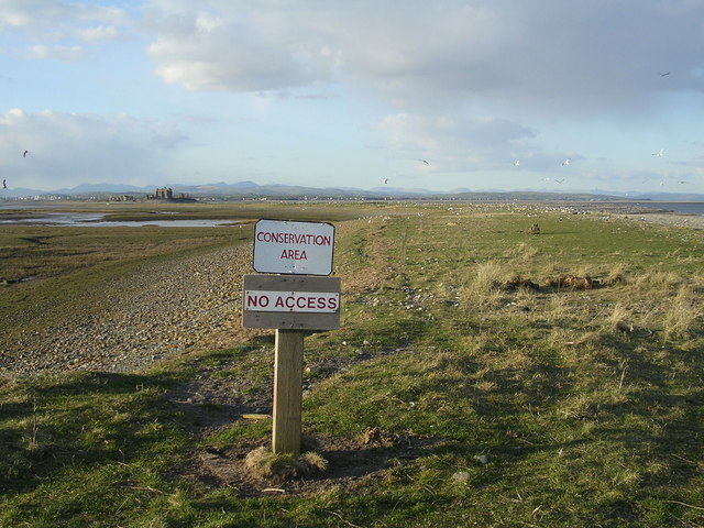
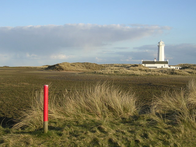
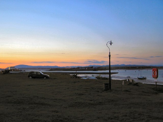
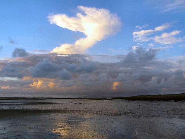
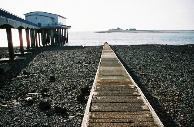
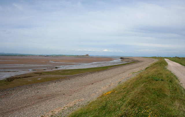
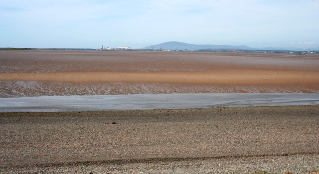
Farhill Scar is a coastal marsh and saltings located in Lancashire, England. It is situated along the coastline, offering stunning views of the Irish Sea. The area is characterized by its diverse landscape, consisting of salt marshes, sand dunes, and reed beds.
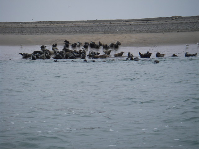
The marshland at Farhill Scar is an important habitat for a variety of plant and animal species. It is home to several rare and protected species, including the natterjack toad and the marsh harrier. The salt marshes provide a vital feeding ground for migratory birds, attracting species such as curlews, redshanks, and oystercatchers.
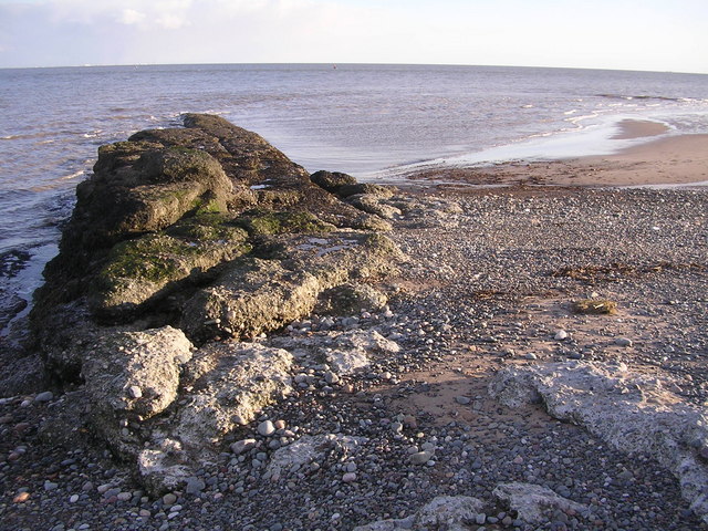
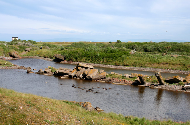
The saltings, or salt pans, at Farhill Scar are a unique feature of the landscape. These shallow pools of seawater are created during high tide and are left behind as the tide recedes. The high salt content of these pools creates a harsh environment, but it supports a specialized community of plants and organisms that are adapted to survive in such conditions.
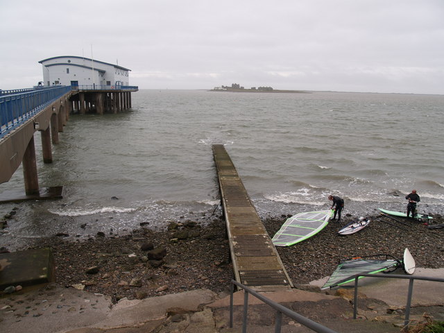
Visitors to Farhill Scar can enjoy a range of activities, including birdwatching, nature walks, and photography. The area is known for its tranquility and natural beauty, offering a peaceful escape from the hustle and bustle of daily life. There are several walking trails that allow visitors to explore the marshland and observe the diverse wildlife that inhabits the area.
Farhill Scar is also of geological interest, as it offers a glimpse into the region's past. Fossilized remains of marine life from millions of years ago can be found embedded in the cliffs and rock formations along the coastline. These fossils provide valuable insights into the area's geological history.
Overall, Farhill Scar is a unique and ecologically important area, offering both natural beauty and educational opportunities for visitors.
If you have any feedback on the listing, please let us know in the comments section below.
Farhill Scar Images
Images are sourced within 2km of 54.057411/-3.1591631 or Grid Reference SD2463. Thanks to Geograph Open Source API. All images are credited.
Farhill Scar is located at Grid Ref: SD2463 (Lat: 54.057411, Lng: -3.1591631)
Administrative County: Cumbria
District: Barrow-in-Furness
Police Authority: Cumbria
What 3 Words
///parading.tequila.obtain. Near Barrow in Furness, Cumbria
Nearby Locations
Related Wikis

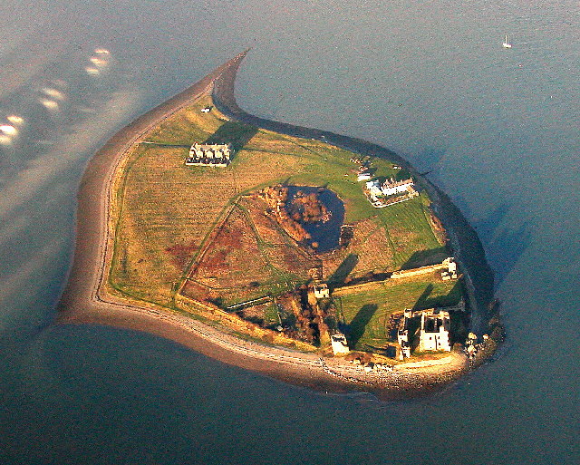
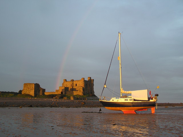
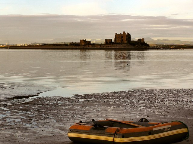
Piel Castle
Piel Castle, also known as Fouldry Castle or the Pile of Fouldray, is a castle situated on the south-eastern point of Piel Island, off the coast of the...

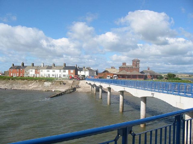
Foulney Island
Foulney Island is a low-lying grass and shingle area 1 mile (1.6 km) to the south-east of Roa Island, off the southern tip of the Furness Peninsula in...

Piel Island
Piel Island lies in Morecambe Bay , around 1⁄2 mile (800 metres) off the southern tip of the Furness peninsula in the administrative county of Cumbria...

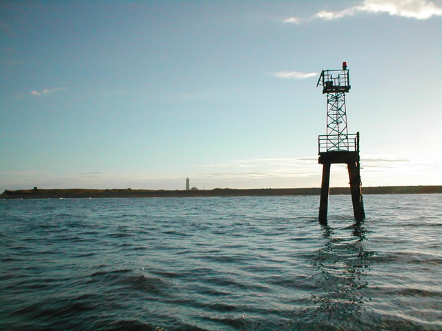
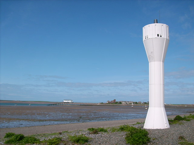
Walney Lighthouse
Walney Lighthouse is a functioning lighthouse located on Walney Island in Barrow-in-Furness, Cumbria, England. The current building dates to the early...
Related Videos

The Castle on an Island Cumbria England UK
Explore the enchanting beauty of Piel Island and its historic castle in Cumbria on my latest video! Join me as l uncover the ...

Roa Island: Where History Meets Natural Splendour - Barrow in Furness, Cumbria
Roa Island is a small island in the Furness Estuary in Cumbria, England. The island is home to a number of interesting landscape ...
Have you been to Farhill Scar?
Leave your review of Farhill Scar below (or comments, questions and feedback).