Springs of the Croos
Coastal Marsh, Saltings in Orkney
Scotland
Springs of the Croos

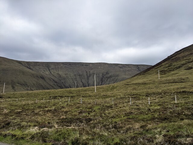
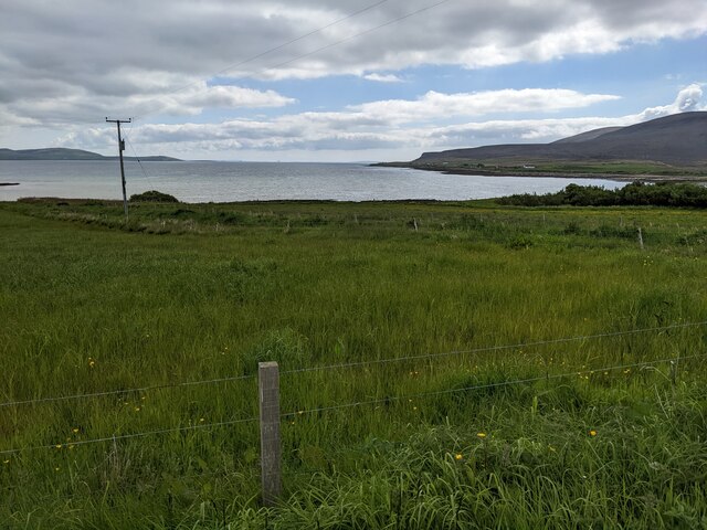
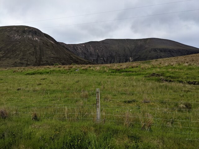
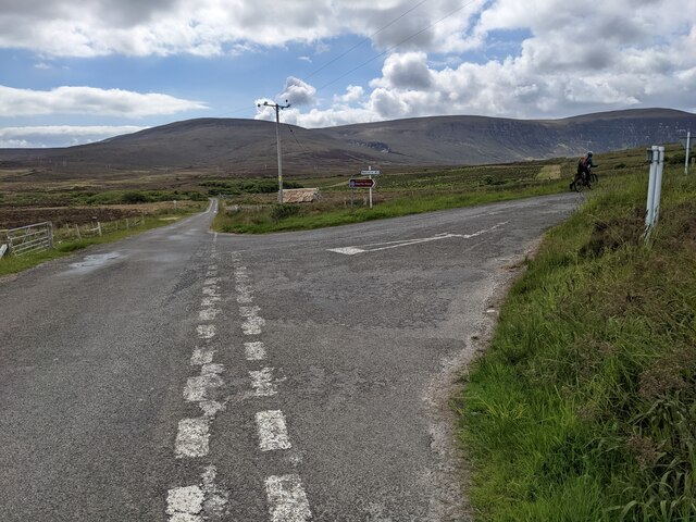
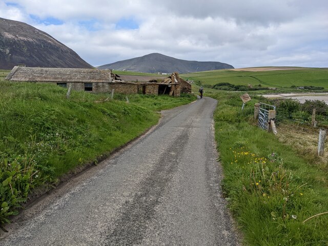
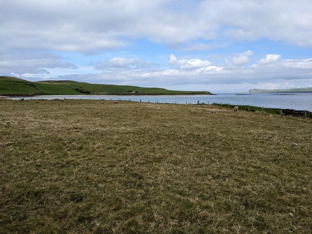
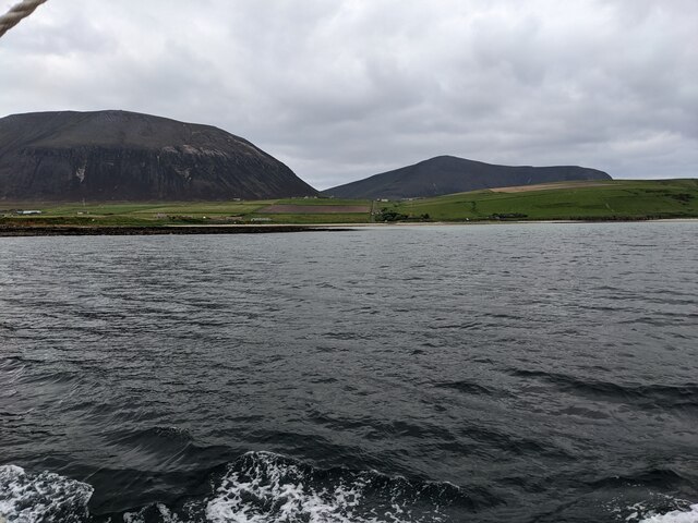
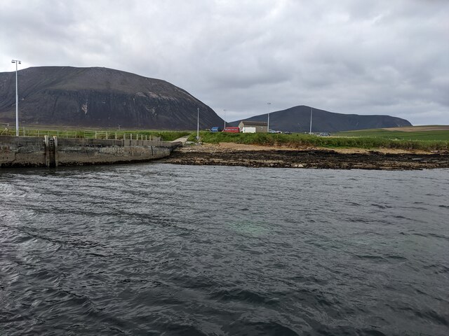
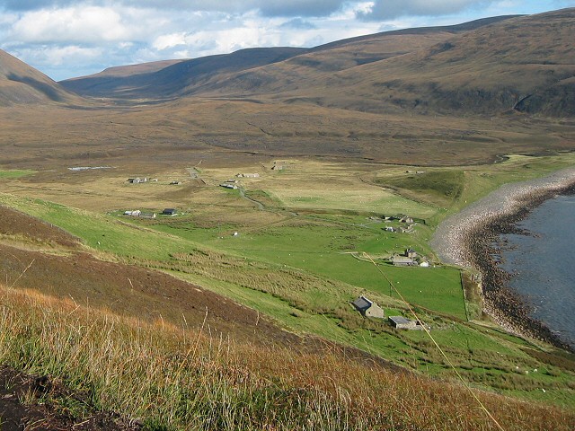
Springs of the Cross, located in Orkney, is a unique coastal marsh characterized by its saltings. This natural site is nestled along the coast, offering breathtaking views of the surrounding landscape. The springs originate from underground sources and emerge through the marshland, creating a picturesque scene of bubbling water among the lush grasses and reeds.
The coastal marsh of Springs of the Cross is home to a diverse range of plant and animal species. The saltings, which are areas of marshland that are regularly flooded by the tide, provide a rich habitat for various salt-tolerant plants. Common species found here include sea lavender, saltmarsh grass, and sea purslane. These plants not only add to the beauty of the area but also contribute to the overall ecological balance by providing food and shelter for numerous bird species.
Speaking of birds, Springs of the Cross is a popular destination for birdwatchers due to its significance as a breeding ground and feeding area. The marshland attracts a wide range of bird species, including curlews, oystercatchers, and lapwings. The presence of these birds adds an enchanting element to the landscape, especially during the breeding season when their calls fill the air.
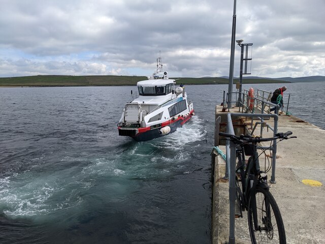
Visitors to Springs of the Cross can enjoy leisurely walks along designated paths, taking in the stunning views and observing the local flora and fauna. The site is also a haven for nature enthusiasts and photographers, who can capture the beauty of the marshland and its inhabitants. Overall, Springs of the Cross offers a serene and captivating experience for those seeking a connection with nature in the idyllic surroundings of Orkney's coastal marsh and saltings.
If you have any feedback on the listing, please let us know in the comments section below.
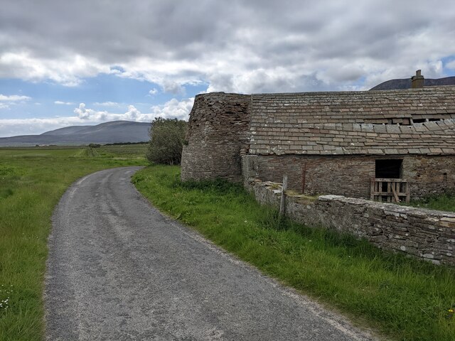
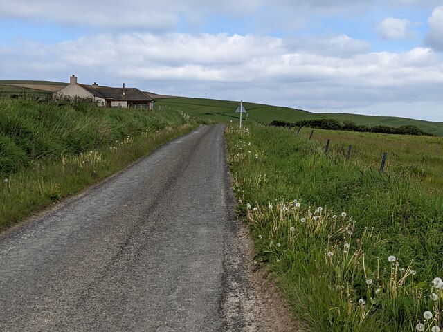
Springs of the Croos Images
Images are sourced within 2km of 58.902384/-3.317327 or Grid Reference HY2402. Thanks to Geograph Open Source API. All images are credited.


Springs of the Croos is located at Grid Ref: HY2402 (Lat: 58.902384, Lng: -3.317327)
Unitary Authority: Orkney Islands
Police Authority: Highlands and Islands
What 3 Words
///lorry.quiet.grove. Near Stromness, Orkney Islands
Nearby Locations
Related Wikis

Ward Hill, Hoy
Ward Hill is a hill on the island of Hoy in Orkney, Scotland. It lies at the north of the island between Moaness and Rackwick, and is the highest point...

Dwarfie Stane
The Dwarfie Stane is a megalithic chambered tomb carved out of a titanic block of Devonian Old Red Sandstone located in a steep-sided glaciated valley...

Graemsay
Graemsay () is an island in the western approaches to Scapa Flow, in the Orkney Islands of Scotland. The island has two lighthouses. Graemsay lies within...
Rackwick
Rackwick is a small coastal crofting township in the north west of the island of Hoy in Orkney, Scotland. As well as a handful of tourist amenities the...
Nearby Amenities
Located within 500m of 58.902384,-3.317327Have you been to Springs of the Croos?
Leave your review of Springs of the Croos below (or comments, questions and feedback).