Swine Stones
Coastal Marsh, Saltings in Lancashire Barrow-in-Furness
England
Swine Stones
Swine Stones is a geographical feature located in the county of Lancashire in England. Situated in the Coastal Marsh area, it specifically lies within the Saltings region.
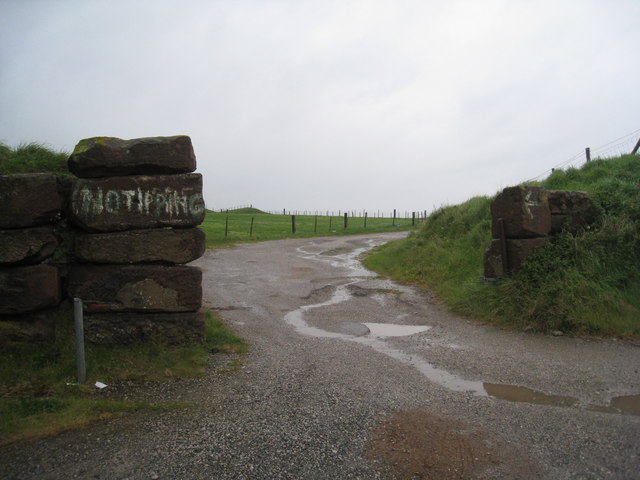
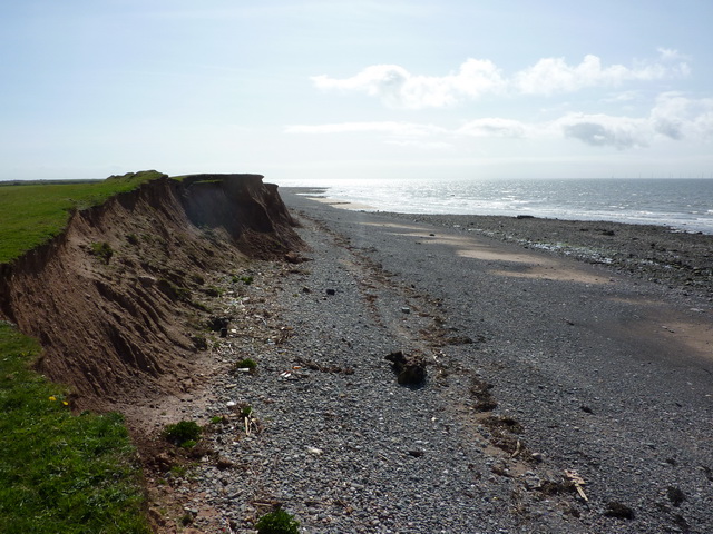
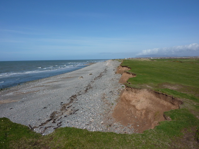
Swine Stones is a collection of large, weathered stones that are scattered across the marshland. The stones vary in size, with some reaching several meters in height. They are made up of sandstone, giving them a distinct reddish-brown color. Over time, the elements have eroded the stones, creating interesting shapes and patterns.
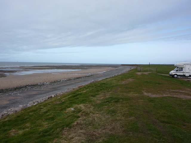
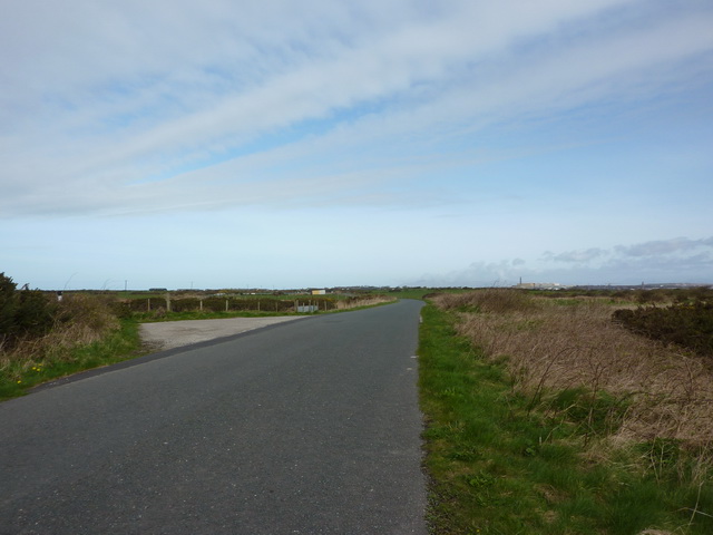
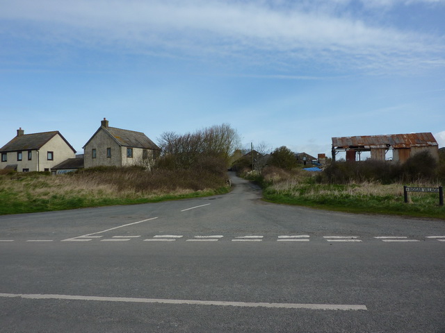
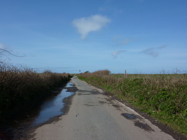
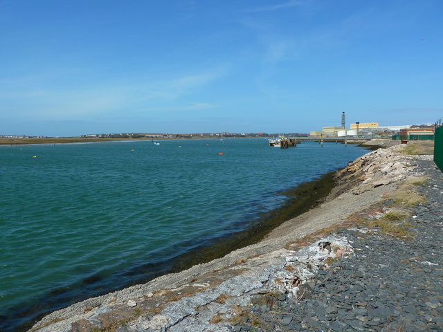
Access to Swine Stones is possible via a footpath that leads through the marshland. The surrounding landscape is characterized by flat, open fields and tidal salt marshes. The area is known for its rich biodiversity, with various species of birds, plants, and marine life inhabiting the marshes and nearby coastal areas.
Swine Stones has historical significance, as it is believed to have served as a marker for ancient travelers and fishermen navigating the treacherous marshland. The stones may have also held ceremonial or religious importance to the local communities in the past.
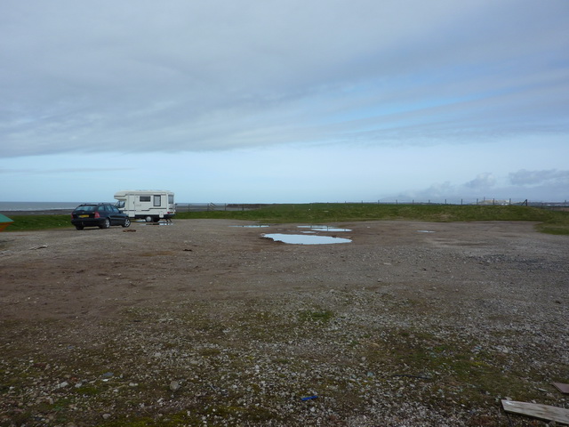
Today, Swine Stones attracts visitors who are interested in exploring the natural beauty of the area and immersing themselves in its rich history. The site offers a peaceful and picturesque setting for nature enthusiasts, photographers, and those seeking a tranquil walk amidst the coastal landscape.
If you have any feedback on the listing, please let us know in the comments section below.
Swine Stones Images
Images are sourced within 2km of 54.082669/-3.2172374 or Grid Reference SD2065. Thanks to Geograph Open Source API. All images are credited.


Swine Stones is located at Grid Ref: SD2065 (Lat: 54.082669, Lng: -3.2172374)
Administrative County: Cumbria
District: Barrow-in-Furness
Police Authority: Cumbria
What 3 Words
///plankton.losing.establish. Near Barrow in Furness, Cumbria
Nearby Locations
Related Wikis

Walney South
Walney South is one of two wards on Walney Island in the Borough of Barrow-in-Furness, North West England. The 2001 UK census showed 5,784 people were...

Ramsden Dock railway station
Ramsden Dock railway station (also known as Barrow Island and officially as Barrow Ramsden Dock) was the terminus of the Furness Railway's Ramsden Dock...
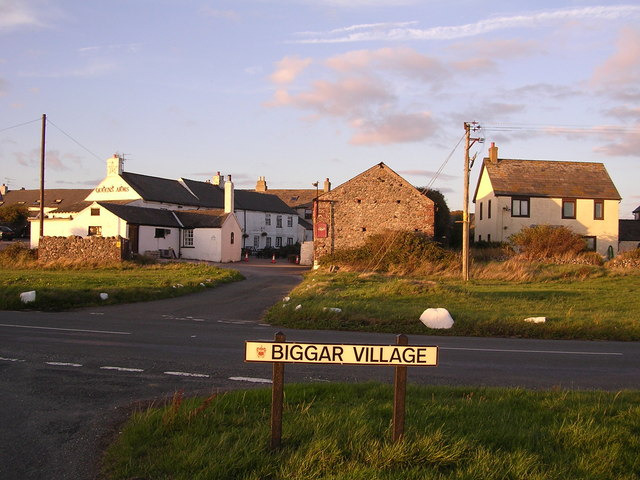
Biggar, Cumbria
Biggar is a village towards the south of Walney Island in Cumbria, England. Along with the village of North Scale, it is the oldest settlement on the island...

Headin Haw
Headin Haw, also spelled Headen Haw, is part of the Islands of Furness. It is a small tidal island approximately 200 metres (220 yards) off the coast of...
Nearby Amenities
Located within 500m of 54.082669,-3.2172374Have you been to Swine Stones?
Leave your review of Swine Stones below (or comments, questions and feedback).