Long Rein Point
Coastal Feature, Headland, Point in Lancashire Barrow-in-Furness
England
Long Rein Point
Long Rein Point is a prominent coastal feature located in Lancashire, England. It is classified as a headland and point due to its unique geographical characteristics. The point is situated on the western coast of the county, specifically in the district of Wyre. Long Rein Point is positioned between the towns of Fleetwood and Cleveleys, and it juts out into the Irish Sea.
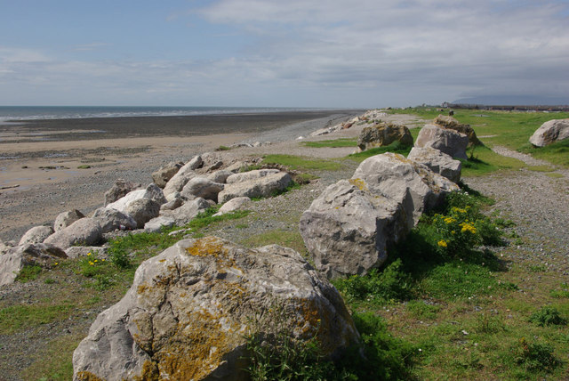
The headland is marked by towering cliffs that rise majestically from the water, providing a stunning backdrop against the sea. These cliffs are composed of various sedimentary rocks, including sandstone and shale, which have been shaped by the relentless action of the waves over thousands of years. The erosion caused by the sea has sculpted the cliffs into intricate formations, creating a visually captivating sight.
Long Rein Point not only offers breathtaking views but also serves as an important habitat for a diverse array of marine wildlife. The nutrient-rich waters around the headland attract various species of fish, making it a popular spot for anglers. Additionally, the cliffs and surrounding vegetation provide nesting sites for numerous seabirds, including gulls and cormorants.
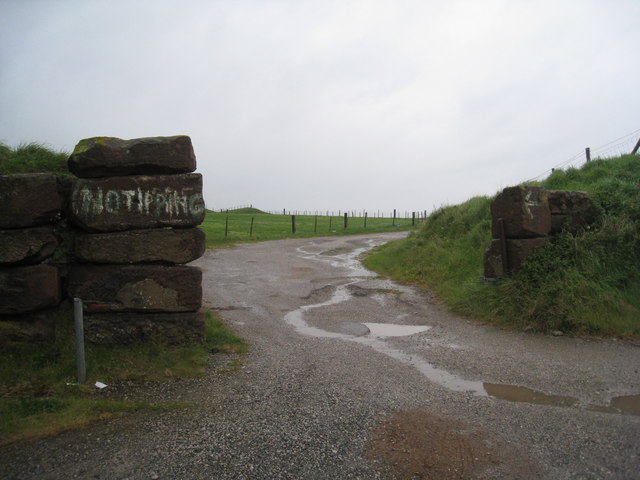
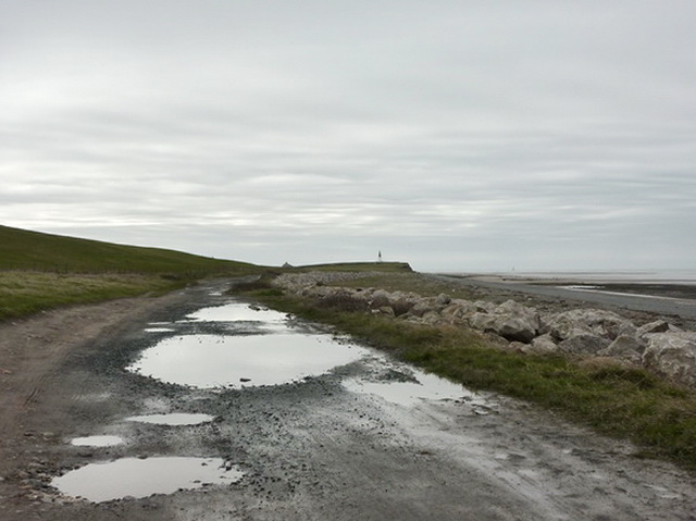
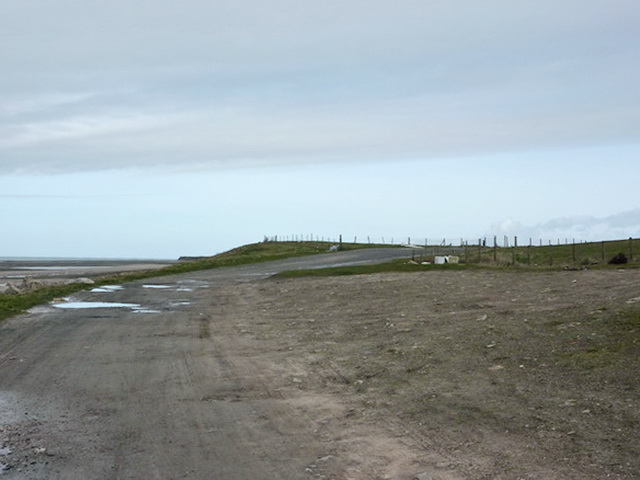
The headland is accessible to the public, with several footpaths and trails leading to vantage points that offer panoramic views of the coastline. Visitors can enjoy walks along the cliff tops, taking in the fresh sea air and the natural beauty of the surroundings.
Overall, Long Rein Point is a captivating coastal feature in Lancashire, offering a unique combination of stunning cliffs, diverse marine life, and scenic vistas.
If you have any feedback on the listing, please let us know in the comments section below.
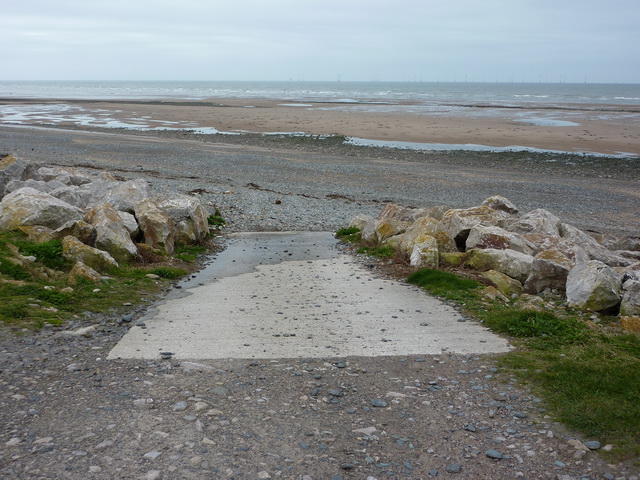
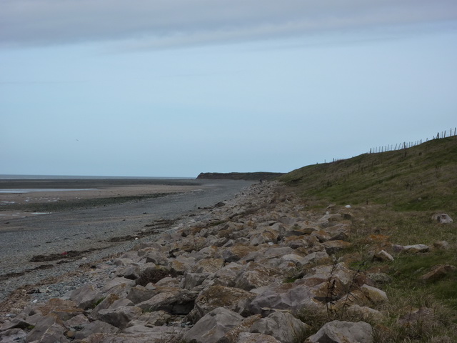
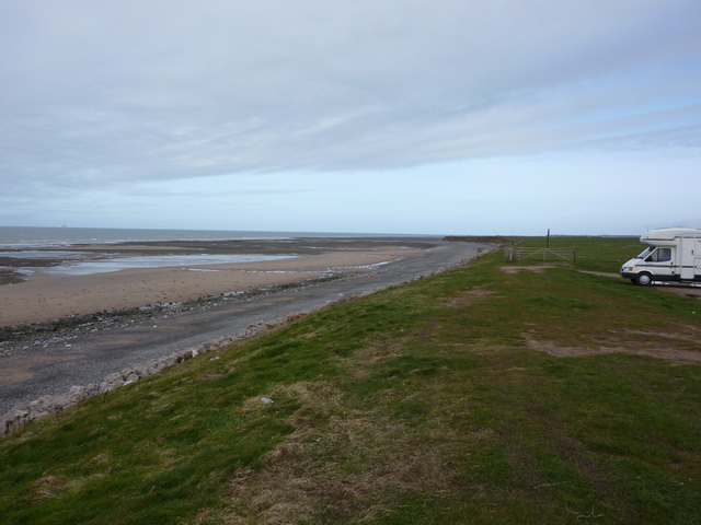
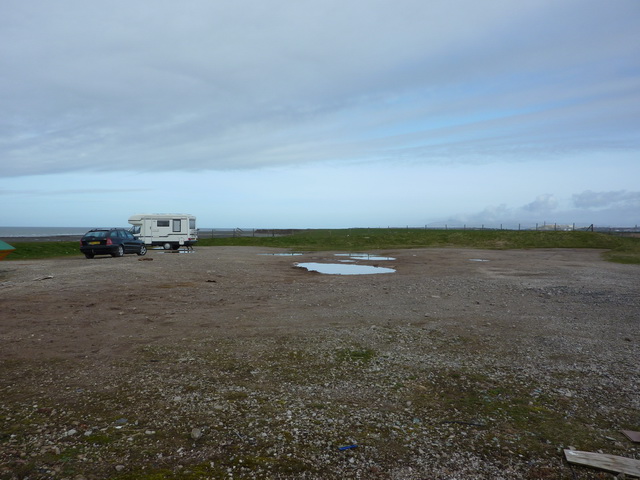
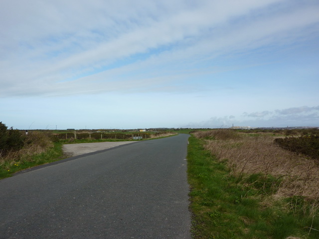
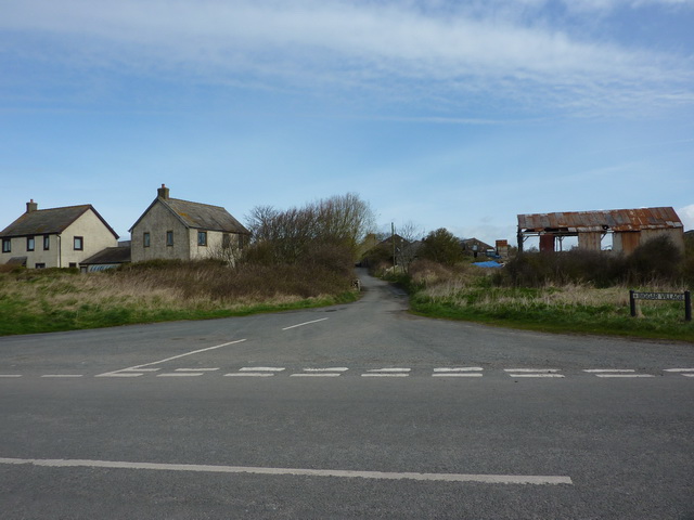
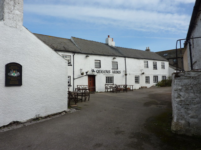
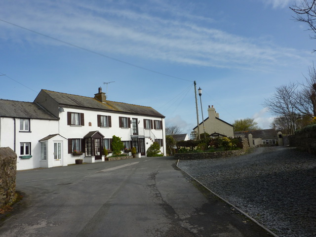
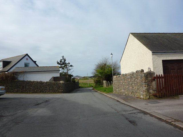
Long Rein Point Images
Images are sourced within 2km of 54.080168/-3.222774 or Grid Reference SD2065. Thanks to Geograph Open Source API. All images are credited.


Long Rein Point is located at Grid Ref: SD2065 (Lat: 54.080168, Lng: -3.222774)
Administrative County: Cumbria
District: Barrow-in-Furness
Police Authority: Cumbria
What 3 Words
///foreheads.cultivation.thorax. Near Barrow in Furness, Cumbria
Nearby Locations
Related Wikis

Walney South
Walney South is one of two wards on Walney Island in the Borough of Barrow-in-Furness, North West England. The 2001 UK census showed 5,784 people were...
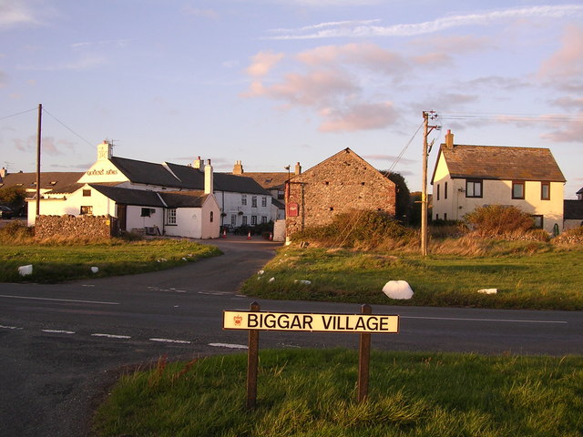
Biggar, Cumbria
Biggar is a village towards the south of Walney Island in Cumbria, England. Along with the village of North Scale, it is the oldest settlement on the island...

Ramsden Dock railway station
Ramsden Dock railway station (also known as Barrow Island and officially as Barrow Ramsden Dock) was the terminus of the Furness Railway's Ramsden Dock...
Dova Haw
Dova Haw, also known as Crab Island, is a small islet that is one of the Islands of Furness. It is a small tidal island off the coast of Cumbria, England...
Nearby Amenities
Located within 500m of 54.080168,-3.222774Have you been to Long Rein Point?
Leave your review of Long Rein Point below (or comments, questions and feedback).