Robin Whins Point
Coastal Feature, Headland, Point in Lancashire Barrow-in-Furness
England
Robin Whins Point
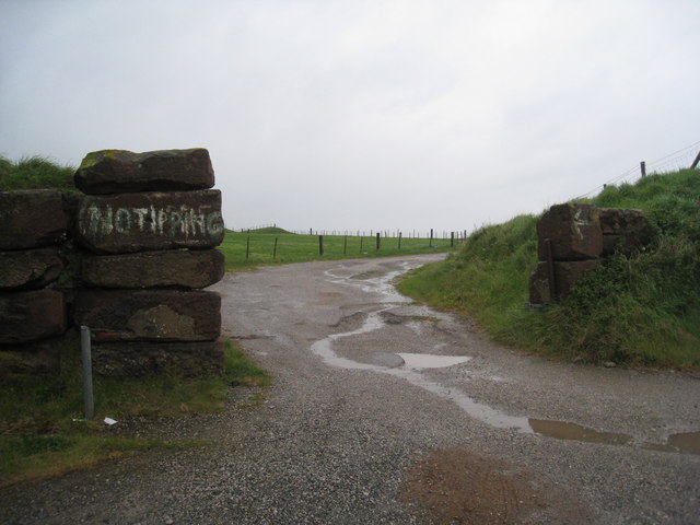
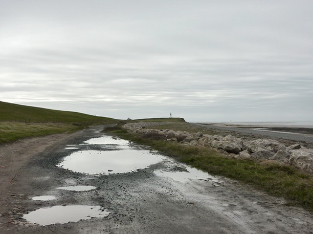
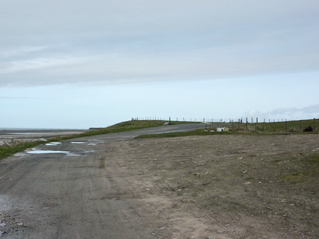
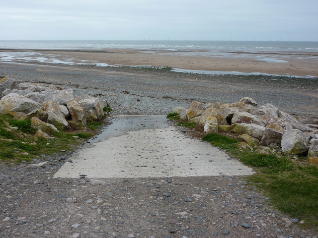
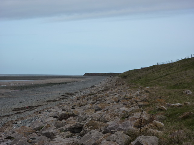
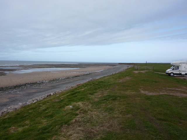
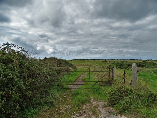
Robin Whins Point is a prominent coastal feature located in Lancashire, England. It is known for its picturesque headland and stunning views of the surrounding area. Situated on the Fylde Coast, it is a popular attraction for locals and tourists alike.
The headland is named after the abundant whin bushes that grow along its slopes. These bushes, also known as gorse or furze, create a vibrant display of yellow flowers during the spring and summer months. The presence of these bushes adds to the natural beauty of the area.
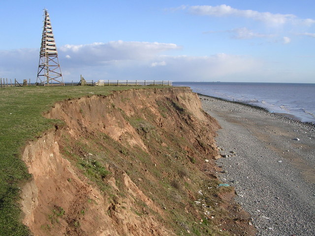
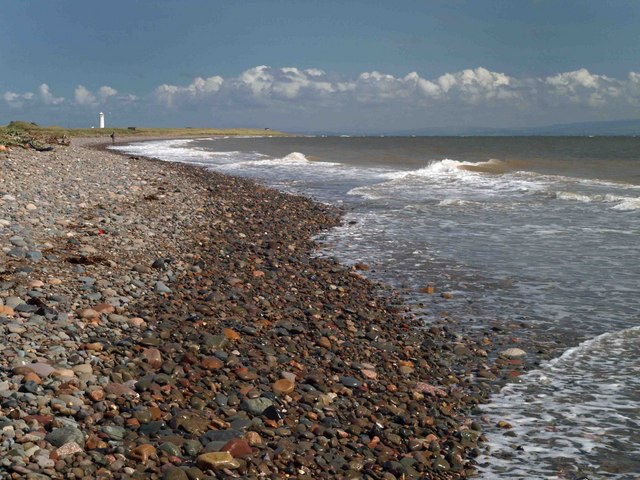
Standing at an elevation of approximately 30 meters, Robin Whins Point offers panoramic views of the Irish Sea. On clear days, visitors can enjoy uninterrupted views of the coastline, with the distant outline of the Isle of Man visible on the horizon. The headland is an ideal spot for nature enthusiasts and photographers, as it provides opportunities to capture stunning coastal landscapes and observe local wildlife.
The area surrounding Robin Whins Point is also known for its rich history. It is believed that the headland was once used as a lookout point during times of war, providing a strategic position for surveillance. Today, remnants of these historical structures can still be seen, adding an element of intrigue to the site.
Overall, Robin Whins Point is a captivating coastal feature that offers breathtaking views, a diverse range of flora, and a glimpse into the region's history. Whether one seeks a peaceful escape or a chance to explore the natural wonders of Lancashire, this headland is a must-visit destination.
If you have any feedback on the listing, please let us know in the comments section below.
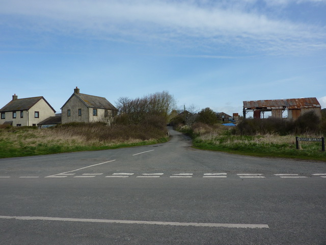
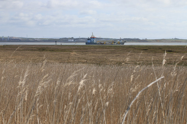
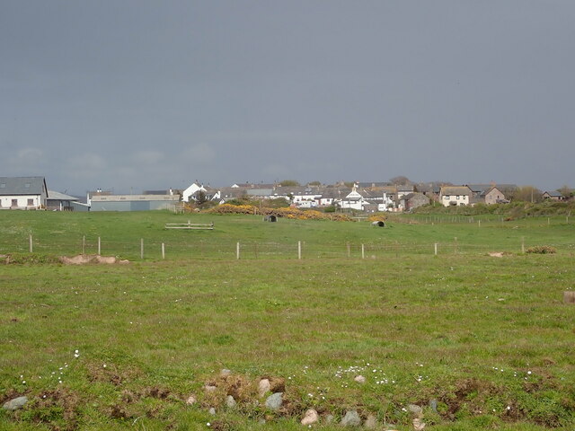
Robin Whins Point Images
Images are sourced within 2km of 54.068312/-3.2236786 or Grid Reference SD2064. Thanks to Geograph Open Source API. All images are credited.


Robin Whins Point is located at Grid Ref: SD2064 (Lat: 54.068312, Lng: -3.2236786)
Administrative County: Cumbria
District: Barrow-in-Furness
Police Authority: Cumbria
What 3 Words
///colleague.strumming.cheer. Near Barrow in Furness, Cumbria
Nearby Locations
Related Wikis

Walney South
Walney South is one of two wards on Walney Island in the Borough of Barrow-in-Furness, North West England. The 2001 UK census showed 5,784 people were...

Sheep Island (England)
Sheep Island is an uninhabited grassy island of around 15 acres (6 ha), located just over 1⁄4 mile (400 m) from the shore of Walney Island, opposite Snab...
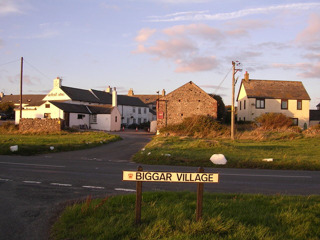
Biggar, Cumbria
Biggar is a village towards the south of Walney Island in Cumbria, England. Along with the village of North Scale, it is the oldest settlement on the island...
South Walney
South Walney is one of two nature reserves on Walney Island, England. The nature reserve has an area of 130 ha leased from Holker estates. It has been...
Ramsden Dock railway station
Ramsden Dock railway station (also known as Barrow Island and officially as Barrow Ramsden Dock) was the terminus of the Furness Railway's Ramsden Dock...
Dova Haw
Dova Haw, also known as Crab Island, is a small islet that is one of the Islands of Furness. It is a small tidal island off the coast of Cumbria, England...

Piel Island
Piel Island lies in Morecambe Bay , around 1⁄2 mile (800 metres) off the southern tip of the Furness peninsula in the administrative county of Cumbria...

Piel railway station
Piel railway station was the terminus of the Furness Railway's Piel Branch in Barrow-in-Furness, England that operated between 1846 and 1936. Located on...
Nearby Amenities
Located within 500m of 54.068312,-3.2236786Have you been to Robin Whins Point?
Leave your review of Robin Whins Point below (or comments, questions and feedback).