Wylock Marsh
Coastal Marsh, Saltings in Lancashire Barrow-in-Furness
England
Wylock Marsh
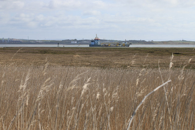
Wylock Marsh is a coastal marsh located in Lancashire, England. It is known for its unique landscape and ecological significance. Spanning over a vast area, the marsh consists of a combination of marshland and saltings, making it a diverse and important habitat for various plant and animal species.
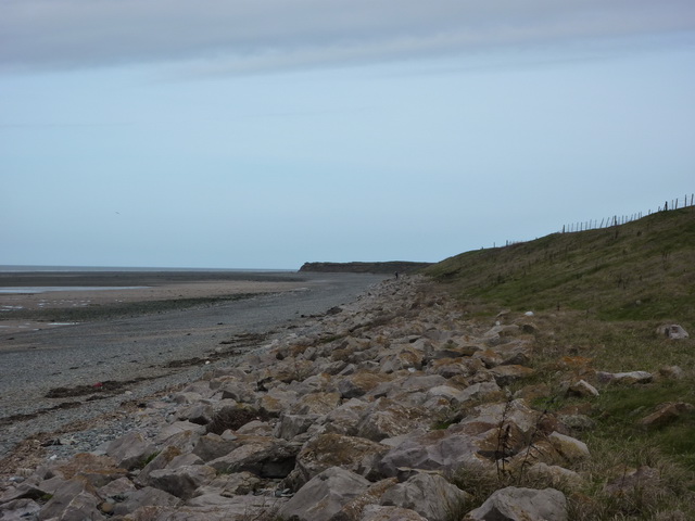
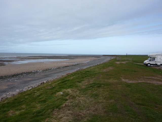
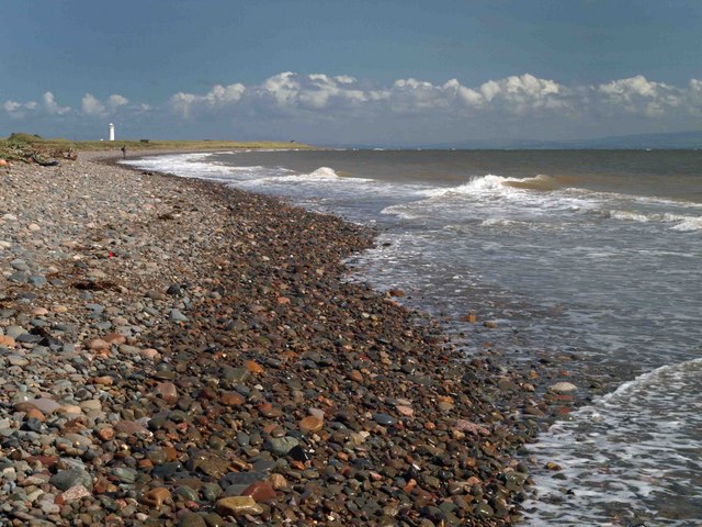
The marsh is situated along the coastline, with the Irish Sea acting as its natural boundary. It is characterized by a mix of saltwater and freshwater habitats, creating a transitional zone between land and sea. This makes it an ideal environment for a wide range of flora and fauna to thrive.
The vegetation in Wylock Marsh is adapted to the brackish conditions, with salt-tolerant plants like saltmarsh grasses and sea lavender dominating the area. These plants play a crucial role in stabilizing the soil and preventing erosion. The marsh also provides a feeding ground and nesting site for numerous bird species, including wading birds and waterfowl.
In addition to its ecological importance, Wylock Marsh offers a picturesque landscape for visitors to enjoy. The vast expanse of open marshland, with its meandering channels and tidal creeks, creates a tranquil and serene atmosphere. It is a popular spot for nature enthusiasts, birdwatchers, and photographers who appreciate the natural beauty of the marsh.
Wylock Marsh is managed and protected by local conservation organizations to preserve its unique ecological value. The marsh serves as a reminder of the importance of safeguarding such habitats for future generations to enjoy and for the continued survival of the diverse array of species that call it home.
If you have any feedback on the listing, please let us know in the comments section below.
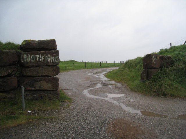
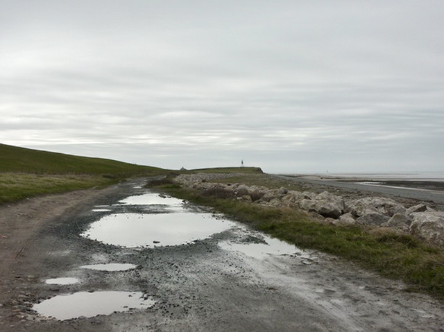
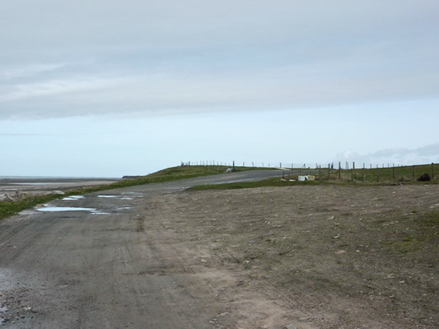
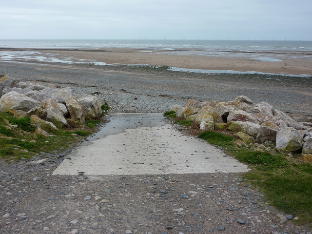
Wylock Marsh Images
Images are sourced within 2km of 54.066485/-3.2230289 or Grid Reference SD2064. Thanks to Geograph Open Source API. All images are credited.


Wylock Marsh is located at Grid Ref: SD2064 (Lat: 54.066485, Lng: -3.2230289)
Administrative County: Cumbria
District: Barrow-in-Furness
Police Authority: Cumbria
What 3 Words
///sculpting.funded.bonds. Near Barrow in Furness, Cumbria
Nearby Locations
Related Wikis

Walney South
Walney South is one of two wards on Walney Island in the Borough of Barrow-in-Furness, North West England. The 2001 UK census showed 5,784 people were...

Sheep Island (England)
Sheep Island is an uninhabited grassy island of around 15 acres (6 ha), located just over 1⁄4 mile (400 m) from the shore of Walney Island, opposite Snab...
South Walney
South Walney is one of two nature reserves on Walney Island, England. The nature reserve has an area of 130 ha leased from Holker estates. It has been...
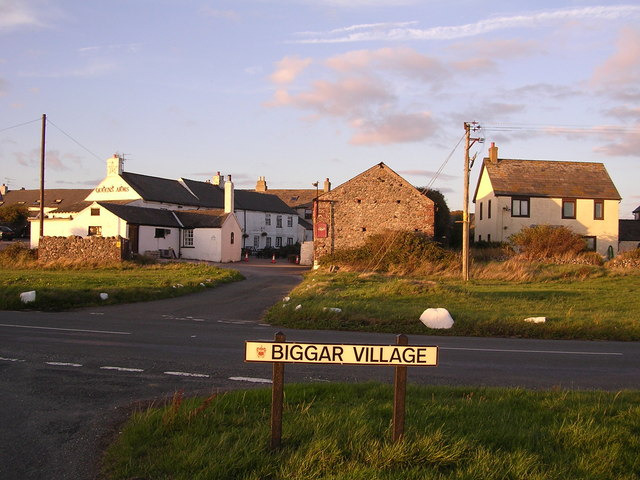
Biggar, Cumbria
Biggar is a village towards the south of Walney Island in Cumbria, England. Along with the village of North Scale, it is the oldest settlement on the island...
Nearby Amenities
Located within 500m of 54.066485,-3.2230289Have you been to Wylock Marsh?
Leave your review of Wylock Marsh below (or comments, questions and feedback).