Studforth Scar
Coastal Marsh, Saltings in Lancashire Barrow-in-Furness
England
Studforth Scar
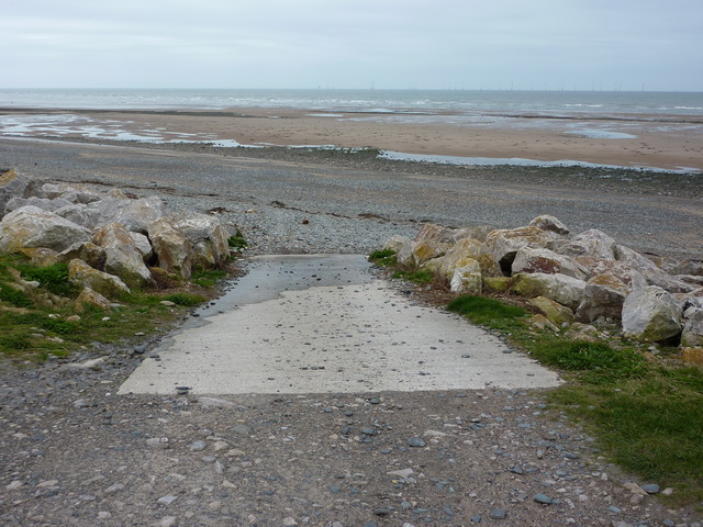
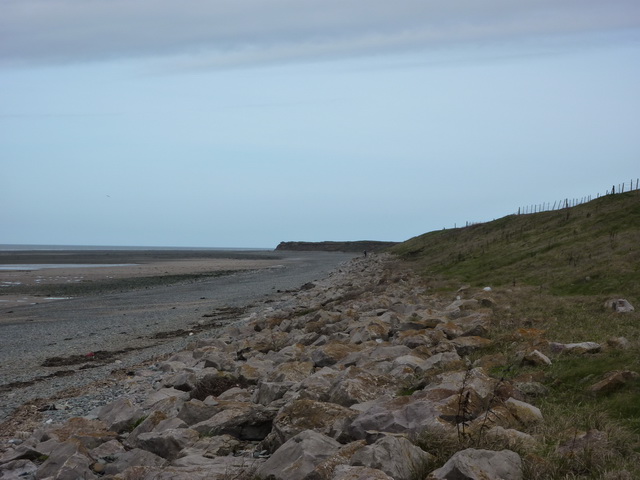
Studforth Scar is a coastal marsh and saltings located in Lancashire, England. Situated along the coastline, it spans a significant area and is known for its unique ecological features. The site is a valuable habitat for various bird species and offers breathtaking views of the surrounding landscape.
The marshland of Studforth Scar is characterized by its diverse flora and fauna. The area is home to several rare and protected plant species, such as sea lavender and sea aster, which thrive in the saltwater environment. The marshes also support a variety of birdlife, including waders like redshank, curlew, and lapwing. These birds are attracted to the rich feeding grounds provided by the marshes, making Studforth Scar an important stopover site during migration.
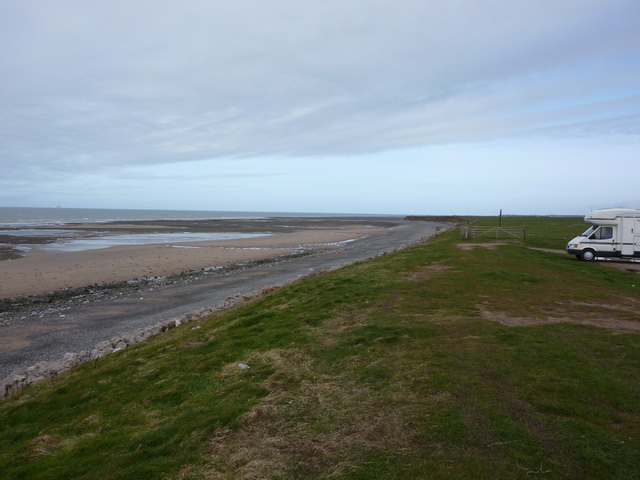
In addition to its ecological significance, Studforth Scar is also a popular destination for nature enthusiasts and birdwatchers. The site offers numerous walking trails and observation points, allowing visitors to explore the marshes and observe the diverse wildlife in their natural habitat.
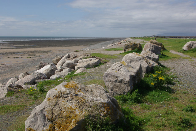
The coastal location of Studforth Scar adds to its allure, with stunning views of the Irish Sea and the surrounding coastline. The ever-changing tides provide a dynamic environment, creating a unique and captivating landscape.
Overall, Studforth Scar in Lancashire is a remarkable coastal marsh and saltings, boasting a diverse range of plant and animal species. Its ecological importance, combined with its scenic beauty, makes it a must-visit destination for nature lovers and those seeking a serene coastal experience.
If you have any feedback on the listing, please let us know in the comments section below.
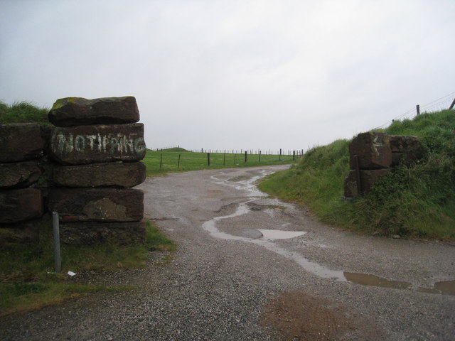
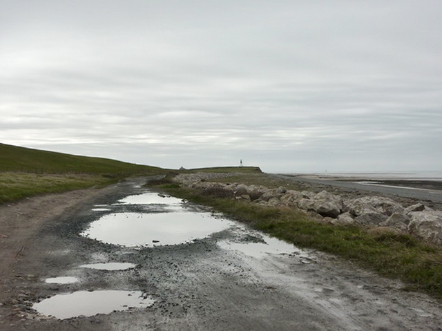
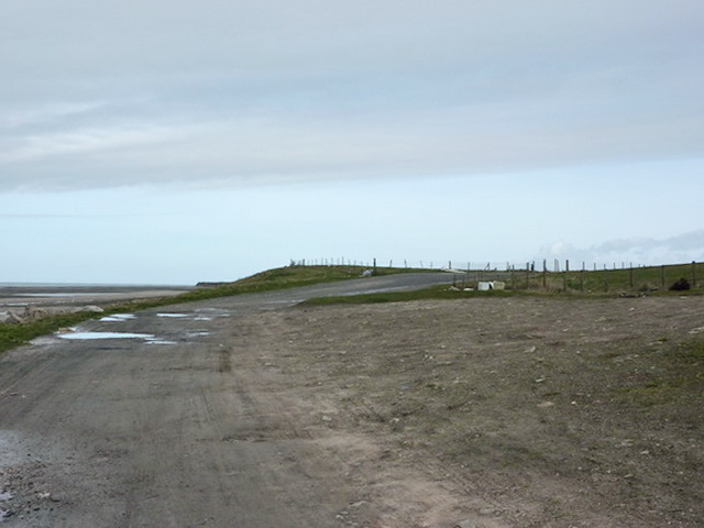
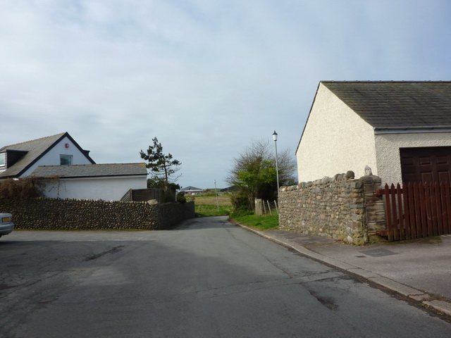
Studforth Scar Images
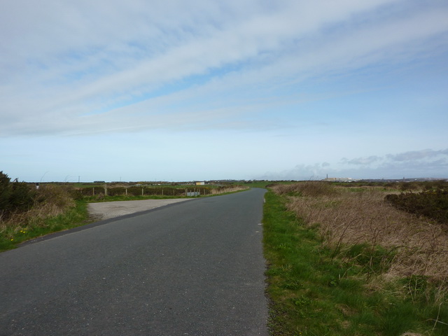
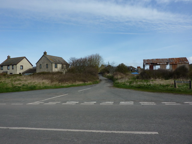
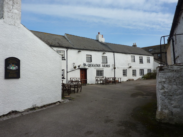
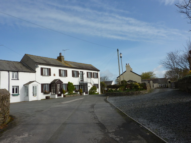
Images are sourced within 2km of 54.079979/-3.2228143 or Grid Reference SD2065. Thanks to Geograph Open Source API. All images are credited.


Studforth Scar is located at Grid Ref: SD2065 (Lat: 54.079979, Lng: -3.2228143)
Administrative County: Cumbria
District: Barrow-in-Furness
Police Authority: Cumbria
What 3 Words
///aunts.chef.clubs. Near Barrow in Furness, Cumbria
Nearby Locations
Related Wikis

Walney South
Walney South is one of two wards on Walney Island in the Borough of Barrow-in-Furness, North West England. The 2001 UK census showed 5,784 people were...
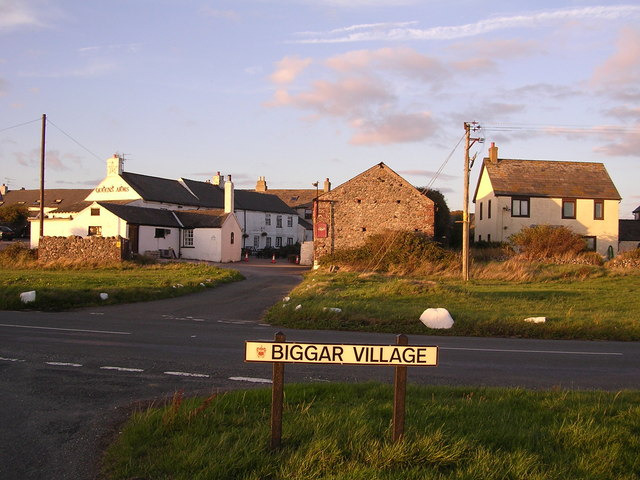
Biggar, Cumbria
Biggar is a village towards the south of Walney Island in Cumbria, England. Along with the village of North Scale, it is the oldest settlement on the island...

Ramsden Dock railway station
Ramsden Dock railway station (also known as Barrow Island and officially as Barrow Ramsden Dock) was the terminus of the Furness Railway's Ramsden Dock...
Dova Haw
Dova Haw, also known as Crab Island, is a small islet that is one of the Islands of Furness. It is a small tidal island off the coast of Cumbria, England...
Nearby Amenities
Located within 500m of 54.079979,-3.2228143Have you been to Studforth Scar?
Leave your review of Studforth Scar below (or comments, questions and feedback).