Sròn Reidhe

Landscape Feature in Angus

Scotland

Sròn Reidhe

The head of Caenlochan Glen
The head of Caenlochan Glen Credit: Alan Reid

The requested URL returned error: 429 Too Many Requests

If you have any feedback on the listing, please let us know in the comments section below.
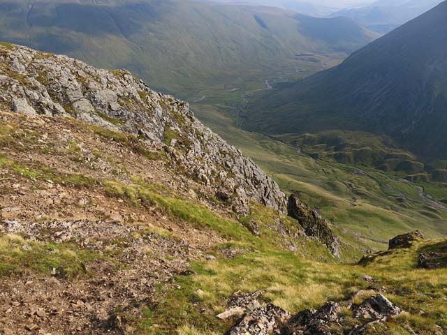
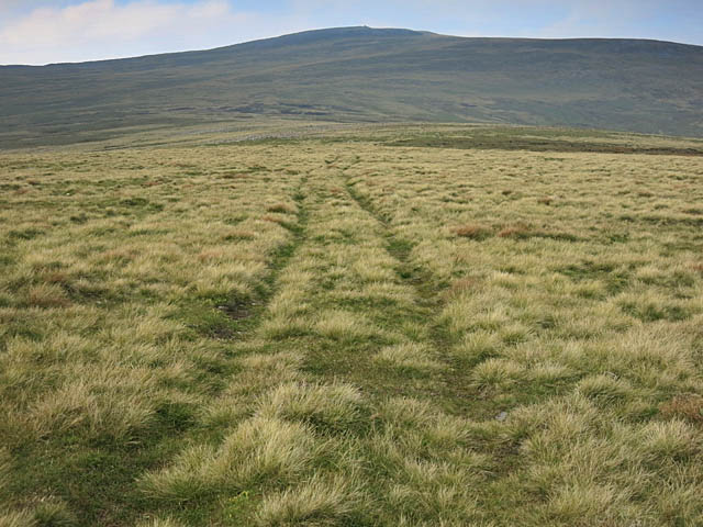
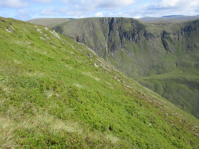
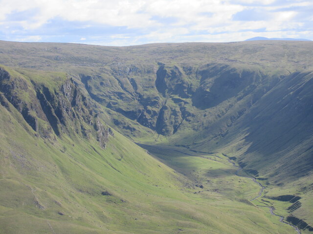
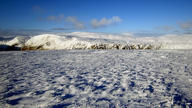
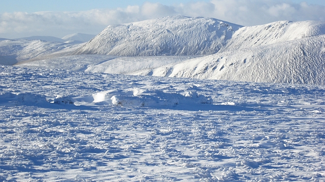
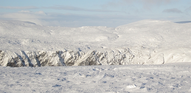
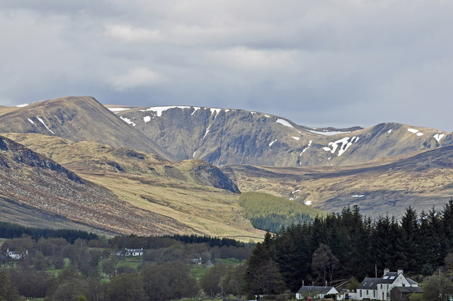
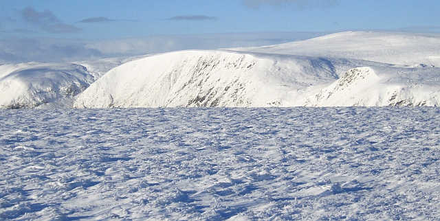
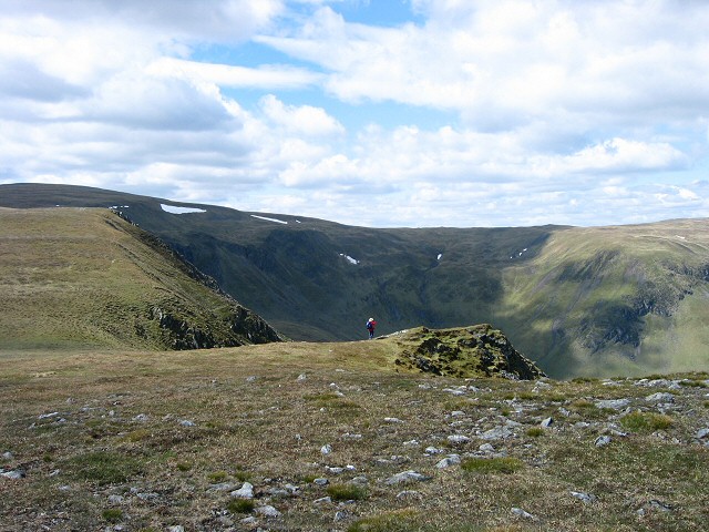
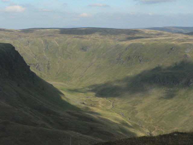
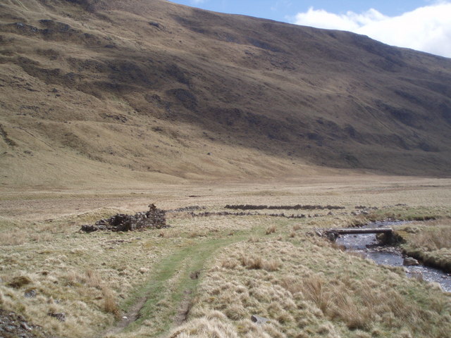
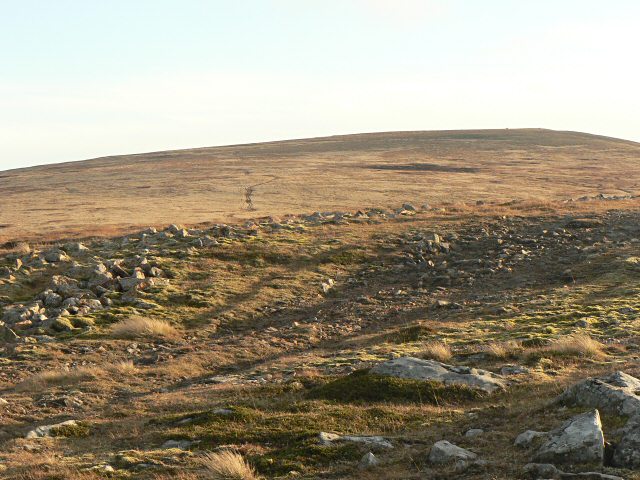
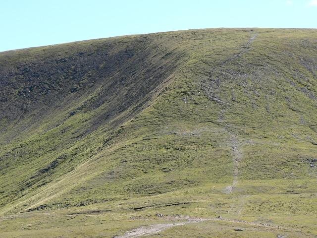
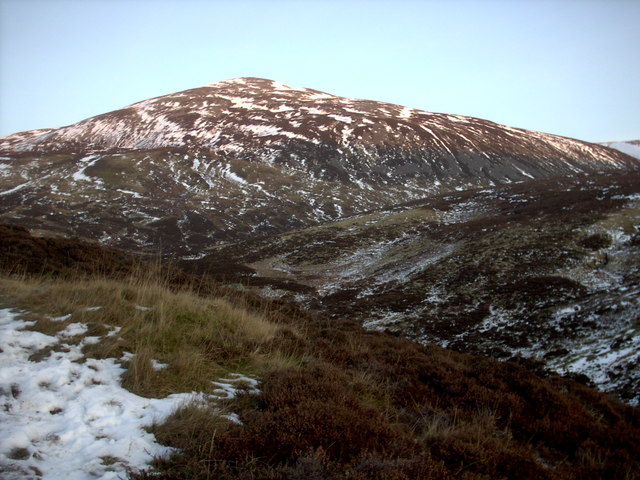
Sròn Reidhe Images

Images are sourced within 2km of 56.873601/-3.3184325 or Grid Reference NO1976. Thanks to Geograph Open Source API. All images are credited.

The head of Caenlochan Glen
Cliffs on Druim Mor Looking down to Caenlochan Glen 450m below
Cliffs on Druim Mor
Looking down to Caenlochan Glen 450m below
Moorland Track on Druim Mor Looking towards Cairn of Claise
Moorland Track on Druim Mor
Looking towards Cairn of Claise
On the slopes southeast of Carn of Claise Having already climbed this summit before taking a detour east for Tolmount and Tom Buidhe, we cut across these slopes to avoid retracing our steps to the top en route to Glas Maol, which can be seen up ahead.
On the slopes southeast of Carn of Claise
Having already climbed this summit before taking a detour east for Tolmount and Tom Buidhe, we cut across these slopes to avoid retracing our steps to the top en route to Glas Maol, which can be seen up ahead.
Eastern edge of Monega Hill Top of the eastern escarpment of Monega Hill, with the Caenlochan glen beyond.
Eastern edge of Monega Hill
Top of the eastern escarpment of Monega Hill, with the Caenlochan glen beyond.
Caenlochan Glen Looking up Caenlochan Glen from the southern slope of Monega Hill.
Caenlochan Glen
Looking up Caenlochan Glen from the southern slope of Monega Hill.
On Finalty Hill Near the summit with a view towards the top of Learmour Crag across the Canness Glen.
On Finalty Hill
Near the summit with a view towards the top of Learmour Crag across the Canness Glen.
Bogs on Finalty Hill A view over peat hags towards Creag Leacach.
Bogs on Finalty Hill
A view over peat hags towards Creag Leacach.
Head of the Canness Burn A hanging valley with the Canness Burn flowing towards a plunge into the glacially deepened Canness Glen. Tom Buidhe is on the right of the picture.
Head of the Canness Burn
A hanging valley with the Canness Burn flowing towards a plunge into the glacially deepened Canness Glen. Tom Buidhe is on the right of the picture.
Caenlochan Glen from near Brewlands (telephoto) Caenlochan's status as a nature reserve has recently been threatened through over-grazing by red deer.
Caenlochan Glen from near Brewlands (telephoto)
Caenlochan's status as a nature reserve has recently been threatened through over-grazing by red deer.
Creag Caorach The steep Glen Isla face of Druim Mòr with Cairn of Claise beyond. These are some of the important plant habitats in the Caenlochan National Nature Reserve.
Creag Caorach
The steep Glen Isla face of Druim Mòr with Cairn of Claise beyond. These are some of the important plant habitats in the Caenlochan National Nature Reserve.
Track near summit of Monega Hill Looking towards the hillsides on the opposite side of Caenlochan Glen.
Track near summit of Monega Hill
Looking towards the hillsides on the opposite side of Caenlochan Glen.
Monega Hill Summit of Monega Hill, looking northwest across the head of Caen Lochan Glen, Little Glas Maol is on the left.
Monega Hill
Summit of Monega Hill, looking northwest across the head of Caen Lochan Glen, Little Glas Maol is on the left.
Caenlochan Glen
Caenlochan Glen
Caenlochan Glen from Monega Hill
View from Monega Hill At the head of Glen Isla lie the Caenlochan Glen (opening beneath the crags to the left in this photo) and the Canness Glen to the east, both very clear U shaped glacial valleys. The two burns join to form the river Isla.
View from Monega Hill
At the head of Glen Isla lie the Caenlochan Glen (opening beneath the crags to the left in this photo) and the Canness Glen to the east, both very clear U shaped glacial valleys. The two burns join to form the river Isla.
Cannes Glen from Monega Hill The Cannes Burn and Caenloachan Burn join forces to become the  River Isla about a mile south west of here.
Cannes Glen from Monega Hill
The Cannes Burn and Caenloachan Burn join forces to become the River Isla about a mile south west of here.
Ruined Cottage. Foot of Caenlochan Glen The window sills and the fireplace are still visible as well as the enclosure in front of the cottage.
Ruined Cottage. Foot of Caenlochan Glen
The window sills and the fireplace are still visible as well as the enclosure in front of the cottage.
Show me another place!

Sròn Reidhe is located at Grid Ref: NO1976 (Lat: 56.873601, Lng: -3.3184325)

Unitary Authority: Angus

Police Authority: Tayside

What 3 Words

///smoking.pyramid.deploying. Near Inverey, Aberdeenshire

Nearby Locations

Sròn Reidhe

Related Wikis

Caenlochan

Caenlochan (Scottish Gaelic: Cadha an Lochain) is a glen in the Grampian Mountains of Scotland. Under EU Natura 2000 legislation it is a Special Area of...

Cairn of Claise

Cairn of Claise is a mountain in the Grampians of Scotland, located about three miles from the Glenshee Ski Center near Braemar. == References ==

Glas Maol

Glas Maol (Scottish Gaelic: A' Ghlas-Mheall) is a mountain in the Mounth, in the southeastern part of the Highlands of Scotland. The broad, flat summit...

Carn an Tuirc

Carn an Tuirc (Scottish Gaelic: Càrn an Tuirc, 'hill of the wild boar') is a mountain in the Mounth region of the Grampian Mountains, in the Scottish Highlands...

Nearby Amenities

Located within 500m of 56.873601,-3.3184325
Caderg
Ele: 890
Name Gd: An Cadha Dearg
Natural: peak
Lat/Long: 56.8765036/-3.3168843
Sròn Reidhe
Natural: hill
Place: locality
Lat/Long: 56.874006/-3.3163908
Sròn Bhorrach
Natural: hill
Place: locality
Lat/Long: 56.8743812/-3.3110478
Cantemkin
Alt Name: Cantempkin
Place: locality
Lat/Long: 56.8747213/-3.3238795
The data included in this document is from www.openstreetmap.org. The data is made available under ODbL.

Have you been to Sròn Reidhe?

Leave your review of Sròn Reidhe below (or comments, questions and feedback).