Greety Gate Marsh

Coastal Marsh, Saltings in Lancashire South Lakeland

England

Greety Gate Marsh

Recent felling on Coops Wood has opened up a view of the bridge over the Duddon
Recent felling on Coops Wood has opened up a view of the bridge over the Duddon Credit: Mick Garratt

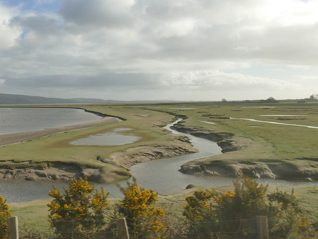
Greety Gate Marsh is a coastal marsh located in Lancashire, England. Situated along the coast, it is a significant area for wildlife and is considered an important habitat for various species. The marsh is known for its vast expanse of saltings, which are areas of land that are regularly flooded by the tides.

Covering an approximate area of several hectares, Greety Gate Marsh is a diverse ecosystem with a mix of grassland, mudflats, salt marshes, and tidal channels. These different habitat types support a rich variety of plants and animals, making it an ideal location for birdwatchers and nature enthusiasts.

The marsh is particularly renowned for its avian population. It serves as a vital feeding and nesting site for numerous bird species, including waders, waterfowl, and seabirds. During the winter months, it attracts large flocks of migratory birds seeking refuge from colder climates. Some notable bird species that can be spotted here include dunlin, redshank, curlew, and brent geese.

Apart from birds, Greety Gate Marsh is also home to a range of other wildlife. The mudflats provide a rich feeding ground for invertebrates such as worms, snails, and crabs, which in turn support populations of mammals like otters and voles. Additionally, the salt marshes are important breeding grounds for various fish species.

Greety Gate Marsh offers visitors a chance to explore and appreciate the unique coastal landscape and its associated wildlife. The area is managed as a nature reserve, ensuring the protection and preservation of this valuable habitat for future generations.

If you have any feedback on the listing, please let us know in the comments section below.

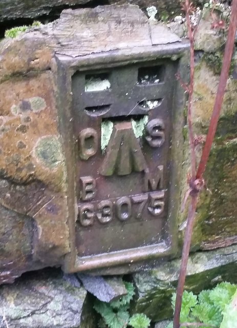
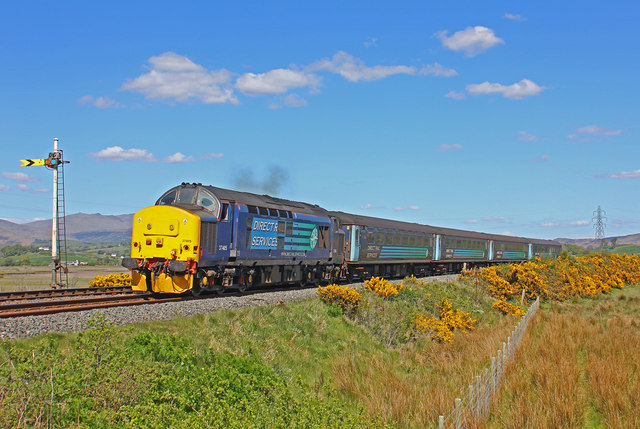
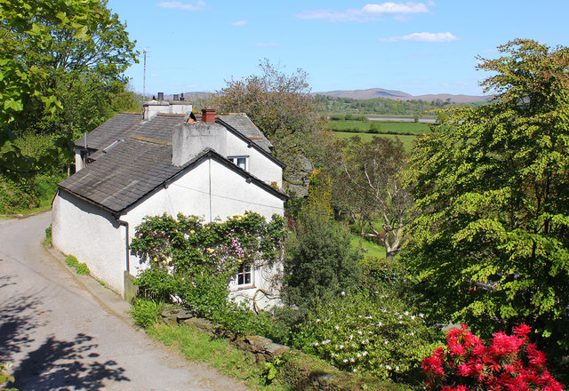
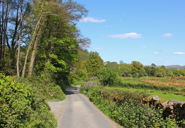
Greety Gate Marsh Images

Images are sourced within 2km of 54.268676/-3.2243563 or Grid Reference SD2086. Thanks to Geograph Open Source API. All images are credited.

Recent felling on Coops Wood has opened up a view of the bridge over the Duddon
Bluebells, Furnace Wood In deepest Duddon
Bluebells, Furnace Wood
In deepest Duddon
Duddon iron furnace (disused) A charcoal burning blast furnace dating from 1736. Isaac Wilkinson's cylinder bellows powered by water were first applied here. It is a Scheduled Ancient Monument but is temporarily closed to the public while structural issues are considered. There is a good view from the bridleway that goes past the site.
Duddon iron furnace (disused)
A charcoal burning blast furnace dating from 1736. Isaac Wilkinson's cylinder bellows powered by water were first applied here. It is a Scheduled Ancient Monument but is temporarily closed to the public while structural issues are considered. There is a good view from the bridleway that goes past the site.
Pivot type mark This Pivot style mark can be found on the SE parapet of the bridge.
Pivot type mark
This Pivot style mark can be found on the SE parapet of the bridge.
SRPS Cumbrian Coast Railtour 2018 : Signal Post Before Duddon Viaduct
SRPS Cumbrian Coast Railtour 2018 : Approaching Duddon Viaduct
Ordnance Survey Flush Bracket (G3075) This OS Flush Bracket can be found on a roadside building at Duddon Bridge Farm. It marks a point 10.398m above mean sea level.
Ordnance Survey Flush Bracket (G3075)
This OS Flush Bracket can be found on a roadside building at Duddon Bridge Farm. It marks a point 10.398m above mean sea level.
Ordnance Survey Cut Mark This OS cut mark can be found on the large boulder in the wall SE side of the road. It marks a point 99.048m above mean sea level.
Ordnance Survey Cut Mark
This OS cut mark can be found on the large boulder in the wall SE side of the road. It marks a point 99.048m above mean sea level.
Railway near Lady Hall Lancaster to Barrow line near Green Road.
Railway near Lady Hall
Lancaster to Barrow line near Green Road.
Lady Hall Cottages in Lady Hall, Cumbria.
Lady Hall
Cottages in Lady Hall, Cumbria.
Elf Hall Country Lane near Elf Hall, Cumbria.
Elf Hall
Country Lane near Elf Hall, Cumbria.
The Duddon estuary  It was just after high tide when we crossed the estuary by train.
The Duddon estuary
It was just after high tide when we crossed the estuary by train.
Old Boundary Marker Parish Boundary Marker on the southeast side of Roanlands Brow near Elf Hall where the road crosses a stream. On the former boundary of Thwaites and Millom townships, but now entirely in Millom Without parish. Inscribed MILLOM ABOVE and THWAITES vertically on opposite faces.

Milestone Society National ID: CU_MILLWO02pb
Old Boundary Marker
Parish Boundary Marker on the southeast side of Roanlands Brow near Elf Hall where the road crosses a stream. On the former boundary of Thwaites and Millom townships, but now entirely in Millom Without parish. Inscribed MILLOM ABOVE and THWAITES vertically on opposite faces. Milestone Society National ID: CU_MILLWO02pb
Grazing, Gornal Ground Off the A595.
Grazing, Gornal Ground
Off the A595.
A595 towards Broughton in Furness
Bracken covered bank towards Mount Wood
Track (bridleway) towards Ash House
Buckman Hall House on Buckman Brow (A595).
Buckman Hall
House on Buckman Brow (A595).
Show me another place!

Greety Gate Marsh is located at Grid Ref: SD2086 (Lat: 54.268676, Lng: -3.2243563)

Administrative County: Cumbria

District: South Lakeland

Police Authority: Cumbria

What 3 Words

///present.proves.cluttered. Near Millom, Cumbria

Related Wikis

Eccle Riggs

Eccle Riggs is a country house located on Eccle Riggs, a ridge of land about 0.75 miles (1.2 km) to the south of Broughton-in-Furness, Cumbria, England...

St Mary Magdalene's Church, Broughton-in-Furness

St Mary Magdalene's Church is in Broughton-in-Furness, Cumbria, England. It is an active Anglican parish church in the deanery of Furness, the archdeaconry...

Broughton-in-Furness railway station

Broughton-in-Furness railway station served the market town of Broughton-in-Furness, in Lancashire, England (now in Cumbria). It was on the branch line...

Foxfield railway station

Foxfield is a railway station on the Cumbrian Coast Line, which runs between Carlisle and Barrow-in-Furness. The station, situated 11+1⁄2 miles (19 km...

Nearby Amenities

Located within 500m of 54.268676,-3.2243563
Source: PGS
Lat/Long: 54.2714884/-3.2261031
Source: PGS
Lat/Long: 54.2729657/-3.22504
Source: PGS
Lat/Long: 54.272495/-3.225135
Source: PGS
Lat/Long: 54.2708077/-3.2251664
Material: wood
Power: pole
Lat/Long: 54.2713672/-3.223925
Greety Gate
Place: hamlet
Lat/Long: 54.2709654/-3.2231169
Material: wood
Power: pole
Lat/Long: 54.2715412/-3.2224945
Material: wood
Power: pole
Lat/Long: 54.2710516/-3.222506
Material: wood
Power: pole
Lat/Long: 54.2711297/-3.2208826
Line Management: termination
Material: wood
Power: pole
Lat/Long: 54.2703954/-3.2219949
Line Management: termination
Material: wood
Power: pole
Lat/Long: 54.2703888/-3.2219716
Material: wood
Power: pole
Lat/Long: 54.2707524/-3.2191405
Material: wood
Power: pole
Lat/Long: 54.2703783/-3.2173874
Power: pole
Lat/Long: 54.2689155/-3.2178554
Power: pole
Lat/Long: 54.2682758/-3.2178738
Material: wood
Power: pole
Lat/Long: 54.2674204/-3.2177899
Material: wood
Power: pole
Lat/Long: 54.2703558/-3.2172619
Power: pole
Lat/Long: 54.2696218/-3.2178202
The data included in this document is from www.openstreetmap.org. The data is made available under ODbL.

Have you been to Greety Gate Marsh?

Leave your review of Greety Gate Marsh below (or comments, questions and feedback).