A' Chruaidhlinn
Coastal Marsh, Saltings in Argyllshire
Scotland
A' Chruaidhlinn
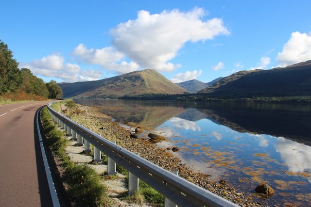
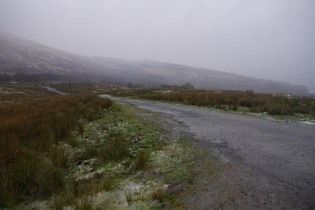
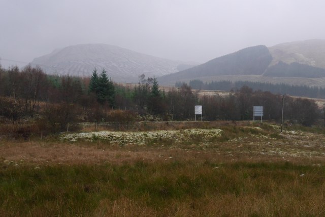
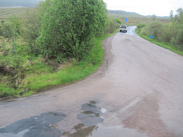
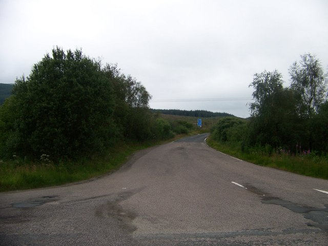
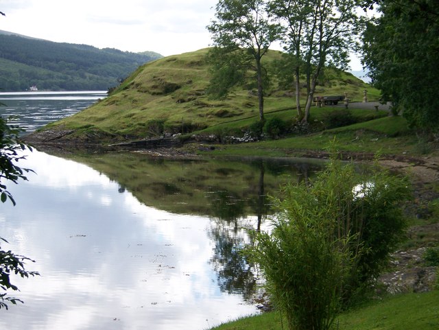
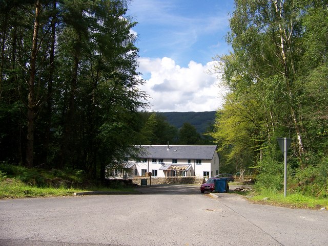
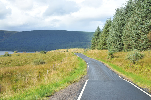
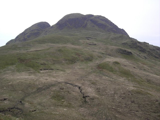
A' Chruaidhlinn, located in Argyllshire, Scotland, is a picturesque coastal marsh and saltings area that stretches along the western coast of the country. This unique ecosystem is characterized by its diverse flora and fauna, making it a significant site for both wildlife conservation and scientific research.
The marshland of A' Chruaidhlinn is primarily composed of salt-tolerant grasses, sedges, and rushes, which thrive in the brackish conditions created by the ebb and flow of the tide. These plants provide critical habitat and nesting sites for a variety of bird species, including wading birds such as curlews, oystercatchers, and redshanks.
The saltmarshes of A' Chruaidhlinn are also home to an array of invertebrates, such as crabs, snails, and worms, which play a crucial role in the overall ecosystem. This abundance of food attracts numerous migratory bird species, making the area an essential stopover point during their long journeys.
In addition to its ecological importance, A' Chruaidhlinn is also a site of historical significance. Archaeological evidence suggests that the area has been inhabited for thousands of years, with remnants of ancient settlements and artifacts being discovered.
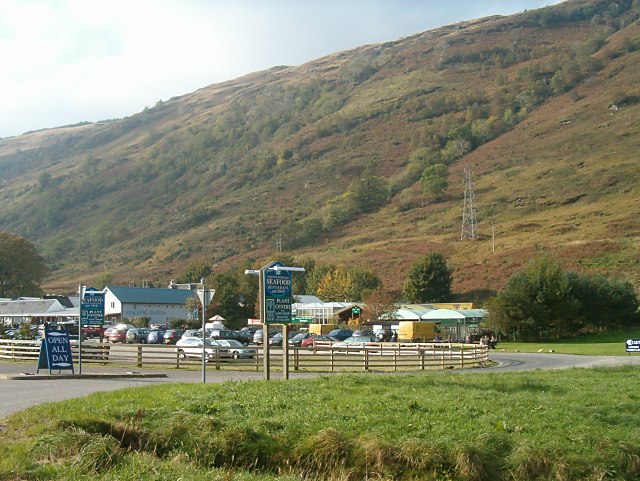
Due to its ecological and historical value, A' Chruaidhlinn has been designated as a protected nature reserve by the local authorities. This status ensures the preservation of the marsh and saltings, allowing future generations to appreciate its natural beauty and ecological importance. Visitors to A' Chruaidhlinn can enjoy walking trails, birdwatching opportunities, and a chance to immerse themselves in the stunning coastal landscape.
If you have any feedback on the listing, please let us know in the comments section below.
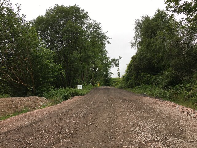
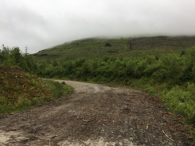
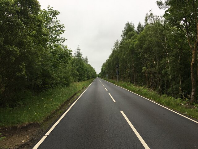
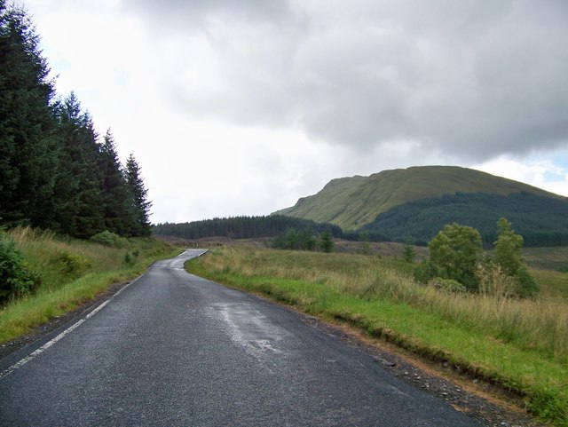
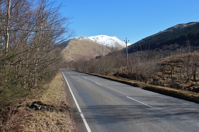
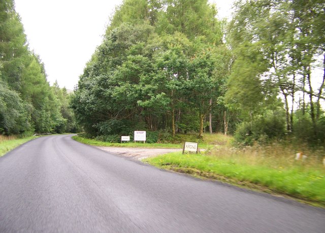
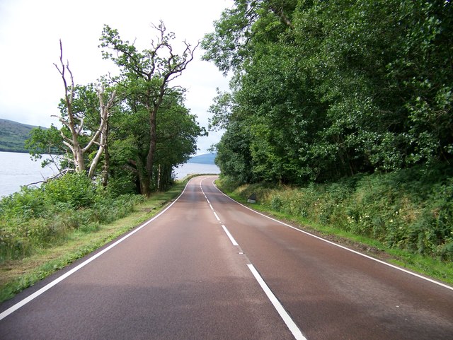
A' Chruaidhlinn Images
Images are sourced within 2km of 56.24299/-4.9702114 or Grid Reference NN1609. Thanks to Geograph Open Source API. All images are credited.
A' Chruaidhlinn is located at Grid Ref: NN1609 (Lat: 56.24299, Lng: -4.9702114)
Unitary Authority: Argyll and Bute
Police Authority: Argyll and West Dunbartonshire
What 3 Words
///mystified.trackers.locker. Near Inveraray, Argyll & Bute
Nearby Locations
Related Wikis
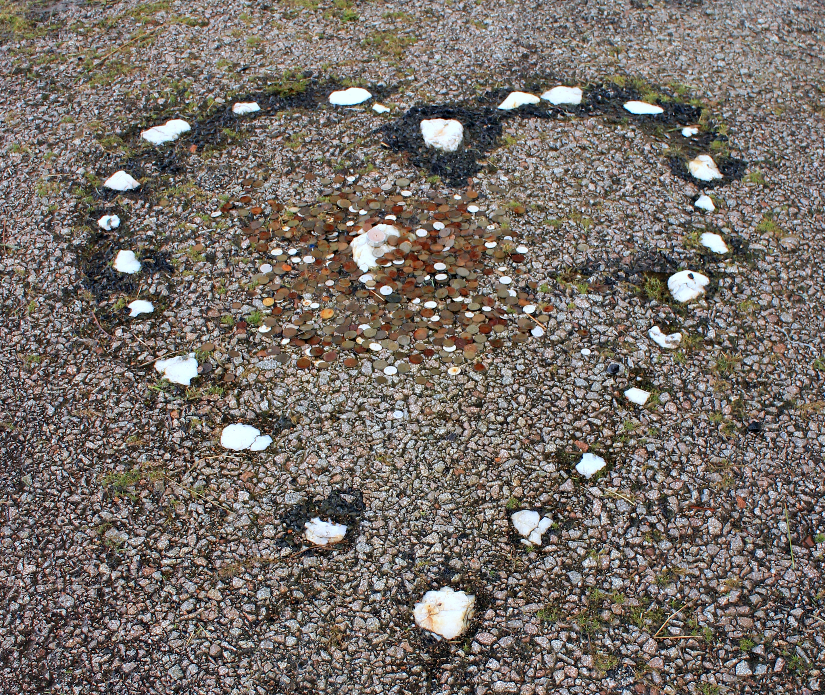
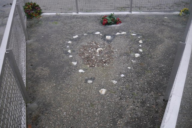
The Tinkers' Heart
The Tinkers' Heart is a Scottish Travellers' commemorative monument near Loch Fyne in Argyll and Bute, Scotland. It is also known as the Gypsy's Heart...

Ardkinglas
Ardkinglas House is a Category A listed country house on the Ardkinglas Estate in Argyll, Scotland. The estate lies on the eastern shore of Loch Fyne,...
Cairndow
Cairndow; (Scottish Gaelic: An Càrn Dubh) is a coastal hamlet, on the Cowal peninsula in Argyll and Bute, Scottish Highlands. The town lies between the...

Hell's Glen
Hell's Glen is a glen on the Cowal Peninsula, in the Arrochar Alps between the mountains Cruach nam Mult and Stob an Eas. To the west, it leads to Loch...

Stob an Eas
Stob an Eas is a 2401 ft (732m) Graham in the Arrochar Alps, Argyll and Bute, Scotland. == Geography == Lying above Glen Kinglass, 4 miles north of Lochgoilhead...
Cruach nam Mult
Cruach nam Mult is a mountain in the Arrochar Alps, Argyll, Scotland which lies to the southern side of Hell's Glen. The mountain is near Loch Fyne and...
Loch Fyne Oysters
Loch Fyne Oysters is a seafood and meat company that operates on the banks of Loch Fyne, Scotland. The company created the Loch Fyne Restaurants chain...

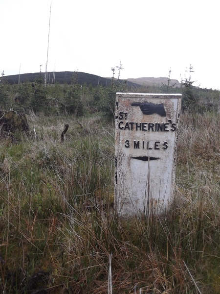
St Catherines, Argyll
St Catherines; (Scottish Gaelic: Cill Chaitrìona) is a village, on the Cowal peninsula in Argyll and Bute, Scottish Highlands. It is located on the banks...
Nearby Amenities
Located within 500m of 56.24299,-4.9702114Have you been to A' Chruaidhlinn?
Leave your review of A' Chruaidhlinn below (or comments, questions and feedback).