Rubha a' Bhàthaich Bhàin

Coastal Feature, Headland, Point in Argyllshire

Scotland

Rubha a' Bhàthaich Bhàin

Forestry road, Dunderave Estate
Forestry road, Dunderave Estate Credit: Steven Brown

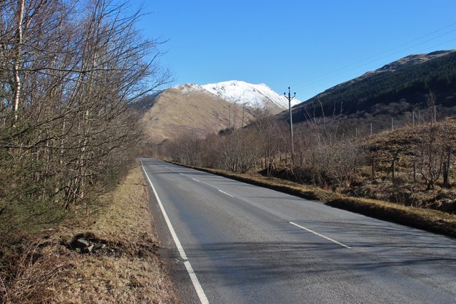
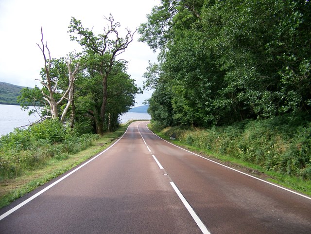
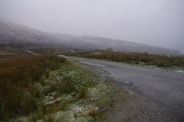
Rubha a' Bhàthaich Bhàin, also known as the Point of the White Bothy, is a stunning coastal feature located in Argyllshire, Scotland. Situated on the western coast of the country, this headland juts out into the Atlantic Ocean, offering breathtaking views and a rugged, natural beauty.

The name Rubha a' Bhàthaich Bhàin translates to "Headland of the White Bothy" in English, and it is believed to have been named after a white cottage that once stood on the point. Today, the bothy is no longer present, but the name remains to honor its historical significance.

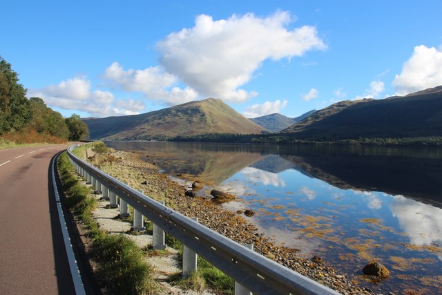
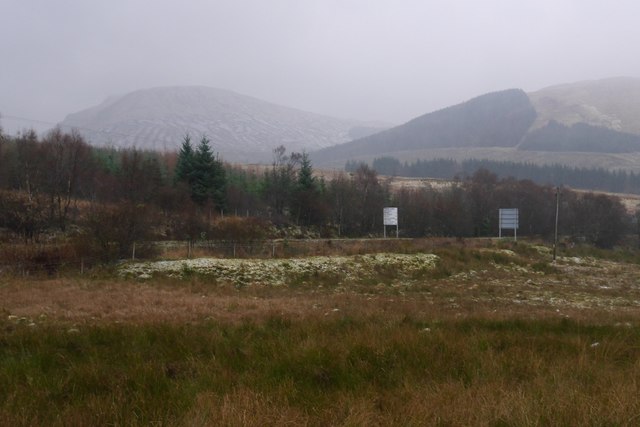
The headland is characterized by its rocky cliffs and pristine beaches. The jagged coastline provides a dramatic backdrop against the crashing waves of the Atlantic, creating a picturesque scene. The area is known for its rich biodiversity, with various species of seabirds, marine life, and wildflowers calling it home.

Rubha a' Bhàthaich Bhàin is a popular spot for outdoor enthusiasts and nature lovers. Visitors can explore the rugged coastal paths, take in the panoramic views, and enjoy activities such as hiking, birdwatching, and photography. The headland is also a great spot for witnessing stunning sunsets, with the sun sinking into the horizon over the vast ocean.

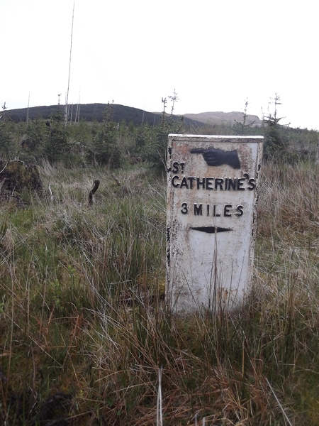
Access to Rubha a' Bhàthaich Bhàin is relatively easy, with a well-maintained footpath leading to the point. There are also parking facilities available nearby for those arriving by car. Whether you are looking for a peaceful retreat or an adventure in nature, Rubha a' Bhàthaich Bhàin is a must-visit destination in Argyllshire.

If you have any feedback on the listing, please let us know in the comments section below.

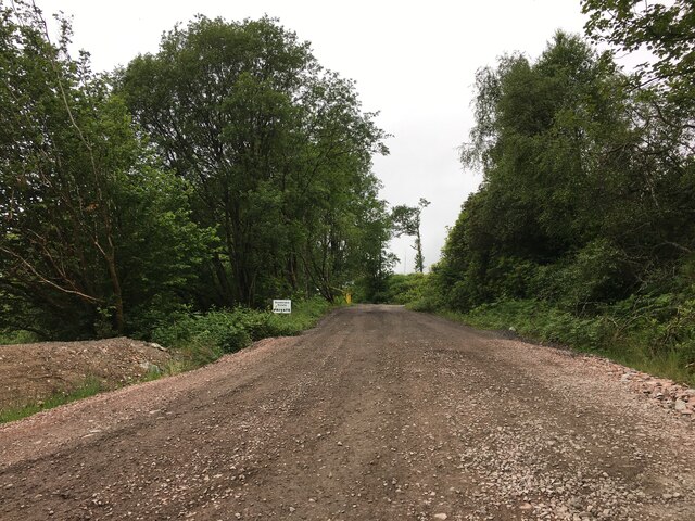
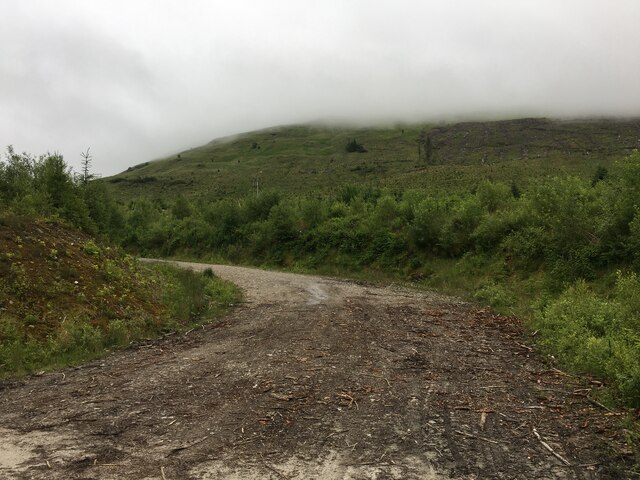
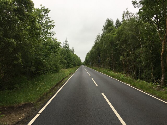
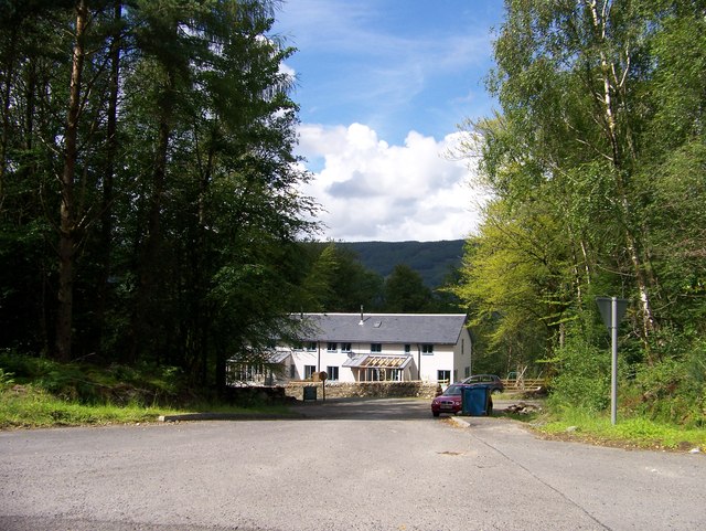
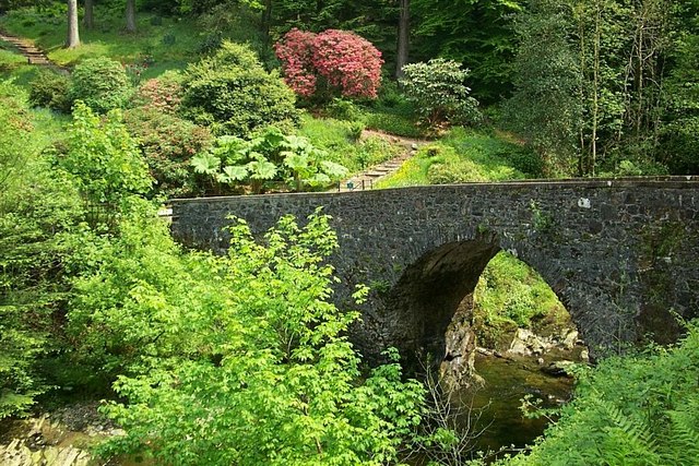
Rubha a' Bhàthaich Bhàin Images

Images are sourced within 2km of 56.246338/-4.9632704 or Grid Reference NN1609. Thanks to Geograph Open Source API. All images are credited.

Forestry road, Dunderave Estate
Forestry road near Croitachonie
A815 towards Dunoon
A815 towards Dunoon
A815 near Cairndow
A815 near Cairndow
A83 at Dunderave Binnein an Fhìdhleir reflected in Loch Fyne. The most distant peak is Ben Ime.
A83 at Dunderave
Binnein an Fhìdhleir reflected in Loch Fyne. The most distant peak is Ben Ime.
A815 at Ardkinglas Forest The snowy top is Binnein an Fhidhleir.
A815 at Ardkinglas Forest
The snowy top is Binnein an Fhidhleir.
A83 near Dunderave Castle
Tinker's Heart Situated in a field containing Highland cattle and on the old route of the A815, this is a place of cultural significance to Scotland's travelling people.  Now surrounded by a fence, it has received a lot of publicity of late.
Tinker's Heart
Situated in a field containing Highland cattle and on the old route of the A815, this is a place of cultural significance to Scotland's travelling people. Now surrounded by a fence, it has received a lot of publicity of late.
A previous alignment of the A815 A view from the Tinker's Heart where the road once met the road out of Hell's Glen. Highland cattle lurk in the distance.
A previous alignment of the A815
A view from the Tinker's Heart where the road once met the road out of Hell's Glen. Highland cattle lurk in the distance.
A815, Ardno View from the Tinker's Heart on a foul day.
A815, Ardno
View from the Tinker's Heart on a foul day.
Old Milepost by the B839, Lochgoilhead parish Dunoon plate by the B839, in parish of Lochgoilhead (Cowal District), Southeast of the A815 junction, in woods above forest track.

Inscription reads:-
{<-hand}
St.
CATHERINE'S
3 MILES
{diamond}

Surveyed

Milestone Society National ID: AB_SCLP03
Old Milepost by the B839, Lochgoilhead parish
Dunoon plate by the B839, in parish of Lochgoilhead (Cowal District), Southeast of the A815 junction, in woods above forest track. Inscription reads:- {<-hand} St. CATHERINE'S 3 MILES {diamond} Surveyed Milestone Society National ID: AB_SCLP03
B839 road leaving the junction with A815 Near Tom Dubh
B839 road leaving the junction with A815
Near Tom Dubh
B839 road leaving the junction with A815
A815 at the entrance to the Ardkinglas Estate
New buildings on the Ardkinglas Estate
Forestry road near Ardno
Junction of the B839 with the A815
More forestry planting on the slopes of Stob an Eas
Show me another place!

Rubha a' Bhàthaich Bhàin is located at Grid Ref: NN1609 (Lat: 56.246338, Lng: -4.9632704)

Unitary Authority: Argyll and Bute

Police Authority: Argyll and West Dunbartonshire

What 3 Words

///baseless.digestion.define. Near Inveraray, Argyll & Bute

Related Wikis

Ardkinglas

Ardkinglas House is a Category A listed country house on the Ardkinglas Estate in Argyll, Scotland. The estate lies on the eastern shore of Loch Fyne,...
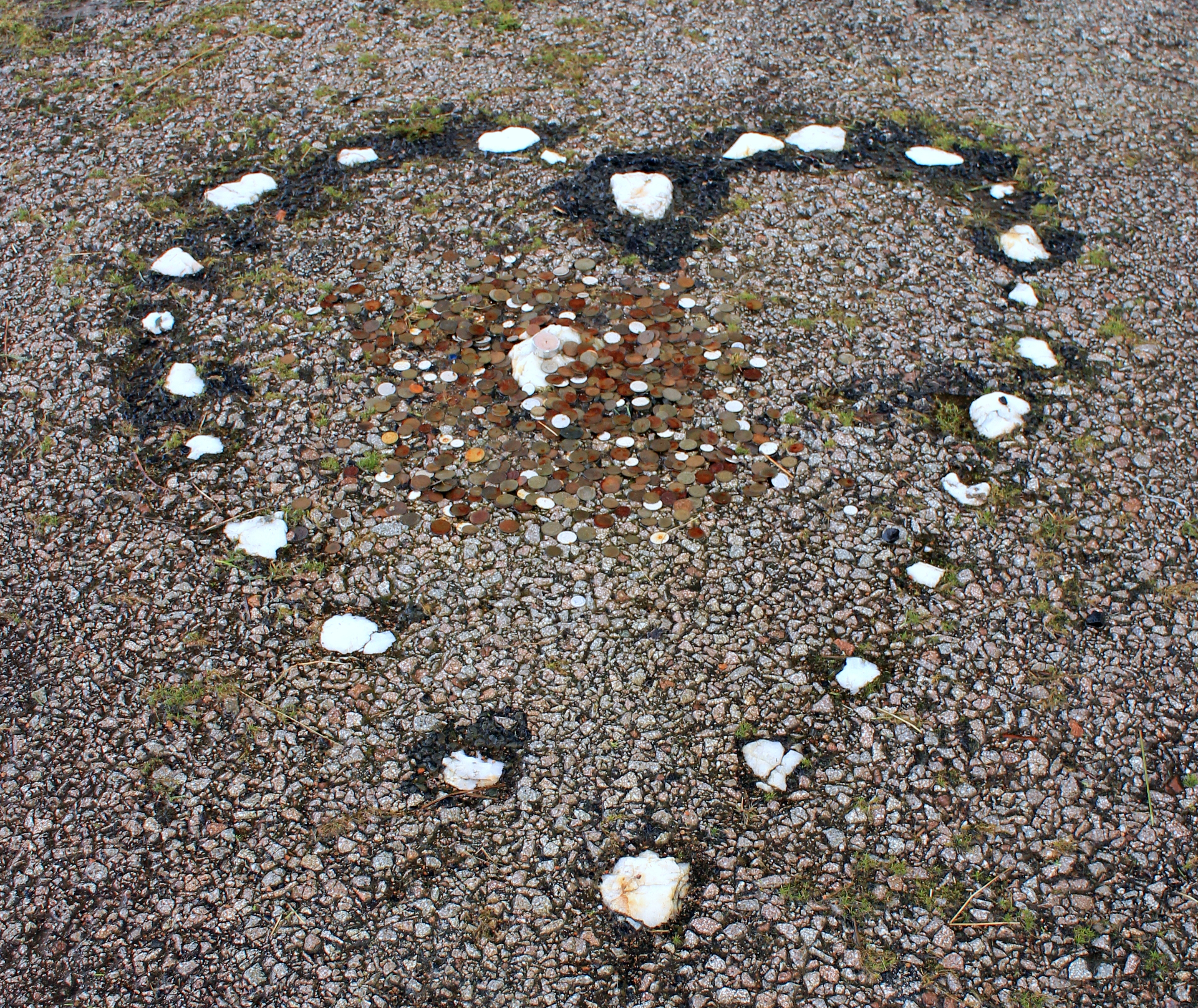
The Tinkers' Heart

The Tinkers' Heart is a Scottish Travellers' commemorative monument near Loch Fyne in Argyll and Bute, Scotland. It is also known as the Gypsy's Heart...

Cairndow

Cairndow; (Scottish Gaelic: An Càrn Dubh) is a coastal hamlet, on the Cowal peninsula in Argyll and Bute, Scottish Highlands. The town lies between the...

Stob an Eas

Stob an Eas is a 2401 ft (732m) Graham in the Arrochar Alps, Argyll and Bute, Scotland. == Geography == Lying above Glen Kinglass, 4 miles north of Lochgoilhead...

Nearby Amenities

Located within 500m of 56.246338,-4.9632704
Created By: almien_coastlines
Source: PGS
Lat/Long: 56.248865/-4.957297
Created By: almien_coastlines
Source: PGS
Lat/Long: 56.248094/-4.957488
Created By: almien_coastlines
Source: PGS
Lat/Long: 56.247831/-4.957935
Created By: almien_coastlines
Source: PGS
Lat/Long: 56.247567/-4.958381
Created By: almien_coastlines
Source: PGS
Lat/Long: 56.247052/-4.958584
Created By: almien_coastlines
Source: PGS
Lat/Long: 56.246909/-4.959497
Created By: almien_coastlines
Source: PGS
Lat/Long: 56.246631/-4.960863
Created By: almien_coastlines
Source: PGS
Lat/Long: 56.246609/-4.962241
Created By: almien_coastlines
Source: PGS
Lat/Long: 56.246701/-4.964546
Created By: almien_coastlines
Source: PGS
Lat/Long: 56.245934/-4.964507
Created By: almien_coastlines
Source: PGS
Lat/Long: 56.245783/-4.965879
Created By: almien_coastlines
Source: PGS
Lat/Long: 56.24552/-4.966326
Source: PGS
Lat/Long: 56.2448316/-4.9664416
Source: PGS
Lat/Long: 56.2446338/-4.96674
Source: PGS
Lat/Long: 56.244291/-4.9676439
Source: PGS
Lat/Long: 56.2441093/-4.9680218
Source: PGS
Lat/Long: 56.244/-4.9683986
Source: PGS
Lat/Long: 56.2436115/-4.9689835
The data included in this document is from www.openstreetmap.org. The data is made available under ODbL.

Have you been to Rubha a' Bhàthaich Bhàin?

Leave your review of Rubha a' Bhàthaich Bhàin below (or comments, questions and feedback).