Pen yr Ergyd
Coastal Marsh, Saltings in Cardiganshire
Wales
Pen yr Ergyd
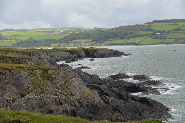
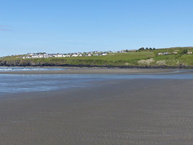
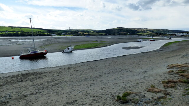
Pen yr Ergyd is a coastal marsh located in Cardiganshire, Wales. Situated along the western coast of the country, it is known for its unique ecosystem and diverse wildlife. The marshland is predominantly composed of salt marshes and saltings, which are areas of land that are periodically flooded by seawater.
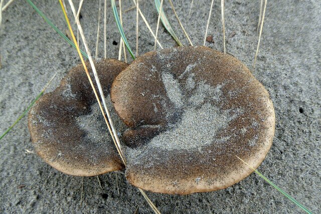
The marsh is characterized by its vast expanse of tidal creeks, mudflats, and salt flats, offering a visually stunning landscape. The area is home to a rich variety of flora and fauna, including several rare and endangered species. The salt marshes support a range of halophyte plants, such as sea aster and samphire, which have adapted to thrive in the high salinity environment.
Birdwatchers flock to Pen yr Ergyd to observe the numerous avian species that call the marsh their home. The area serves as an important breeding ground and stopover point for migratory birds, including curlews, dunlins, and redshanks. In addition to the avifauna, the marshland also supports a diverse population of invertebrates and small mammals.
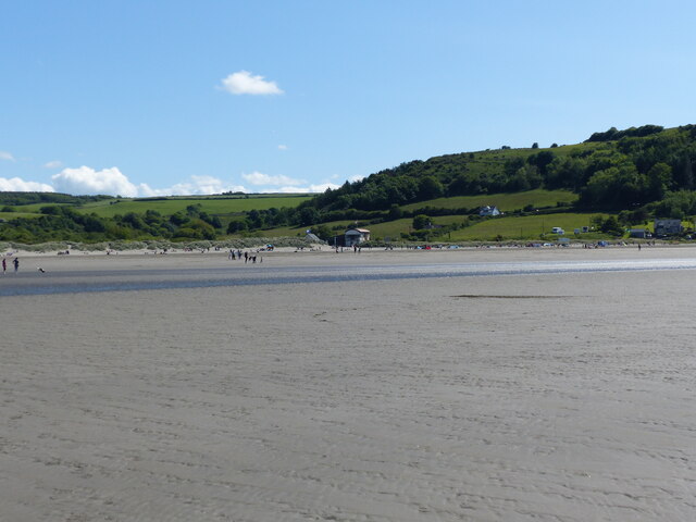
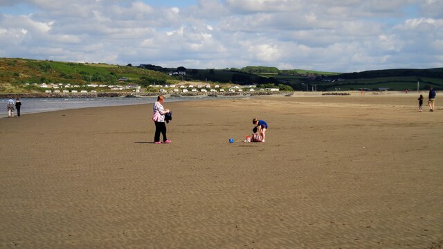
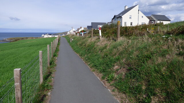
The marshland is managed by local conservation organizations in collaboration with the government to preserve its natural beauty and protect its delicate ecosystem. Visitors to Pen yr Ergyd can explore the marshes on designated footpaths, taking in the breathtaking views and enjoying the tranquility of the surroundings. The marsh provides an excellent opportunity for nature enthusiasts, photographers, and those seeking a peaceful retreat to immerse themselves in the beauty of this coastal gem.
If you have any feedback on the listing, please let us know in the comments section below.
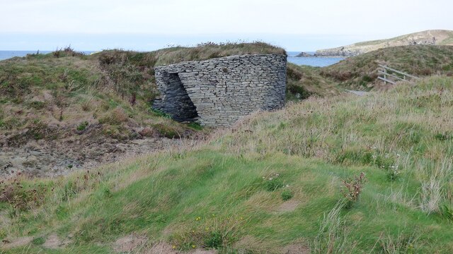
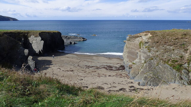
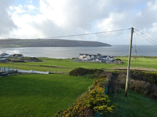
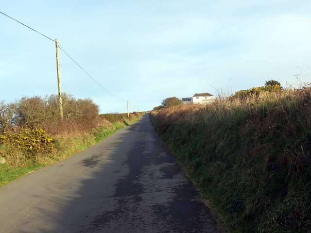
Pen yr Ergyd Images
Images are sourced within 2km of 52.104224/-4.6882072 or Grid Reference SN1548. Thanks to Geograph Open Source API. All images are credited.


Pen yr Ergyd is located at Grid Ref: SN1548 (Lat: 52.104224, Lng: -4.6882072)
Unitary Authority: Ceredigion
Police Authority: Dyfed Powys
What 3 Words
///wage.hubcaps.glitz. Near Cardigan, Ceredigion
Nearby Locations
Related Wikis

River Teifi
The River Teifi (English: ; Welsh: Afon Teifi, pronounced [ˈavɔn ˈtəɪvɪ]) in Wales forms the boundary for most of its length between the counties of Ceredigion...
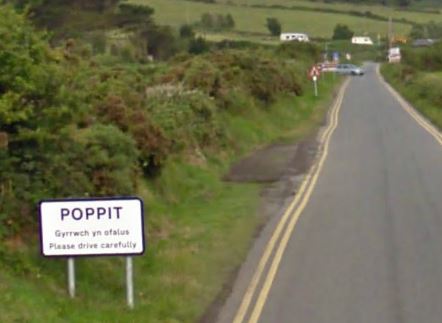
Poppit Sands
Poppit (Welsh: Poppit) is a small, dispersed settlement which lies on the southern side of the estuary of the River Teifi, near Cardigan, in northern Pembrokeshire...
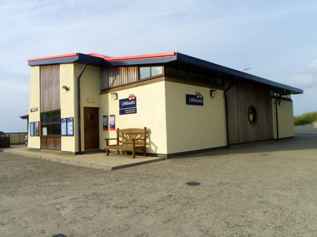
Cardigan Lifeboat Station
Cardigan Lifeboat Station, at Poppit Sands, North Pembrokeshire, near Cardigan, Ceredigion, Wales, is a Royal National Lifeboat Institution (RNLI) lifeboat...

Gwbert
Gwbert (Welsh pronunciation: [ˈɡubɛrt]), also known as Gwbert-on-Sea, is a cliff-top coastal village in Y Ferwig community, Ceredigion, Wales. It lies...
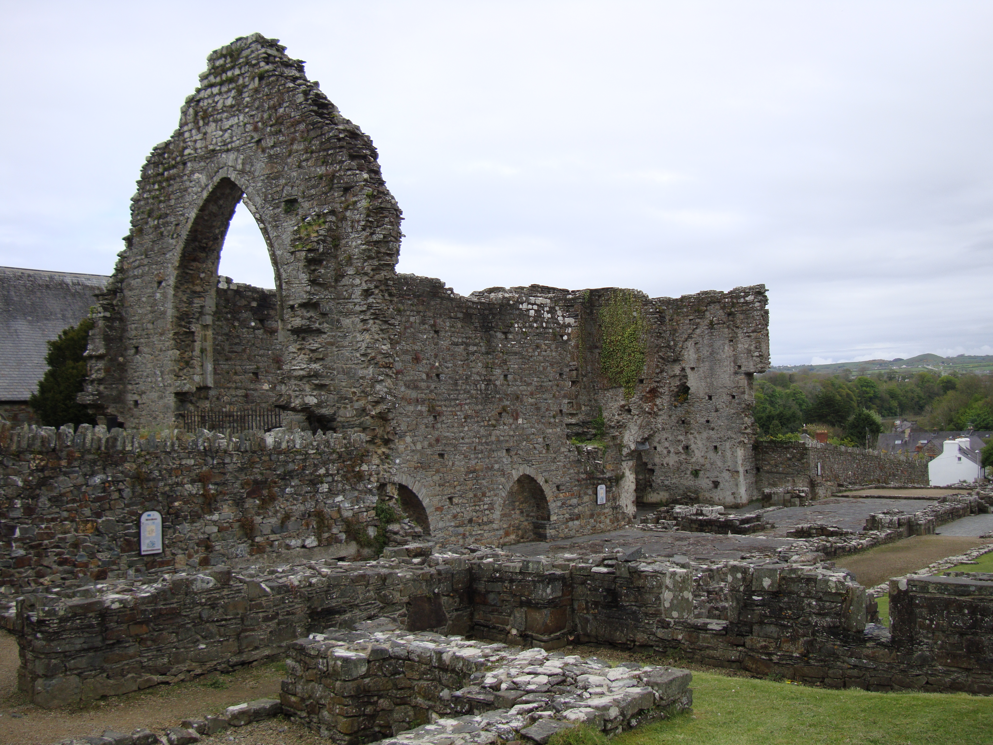
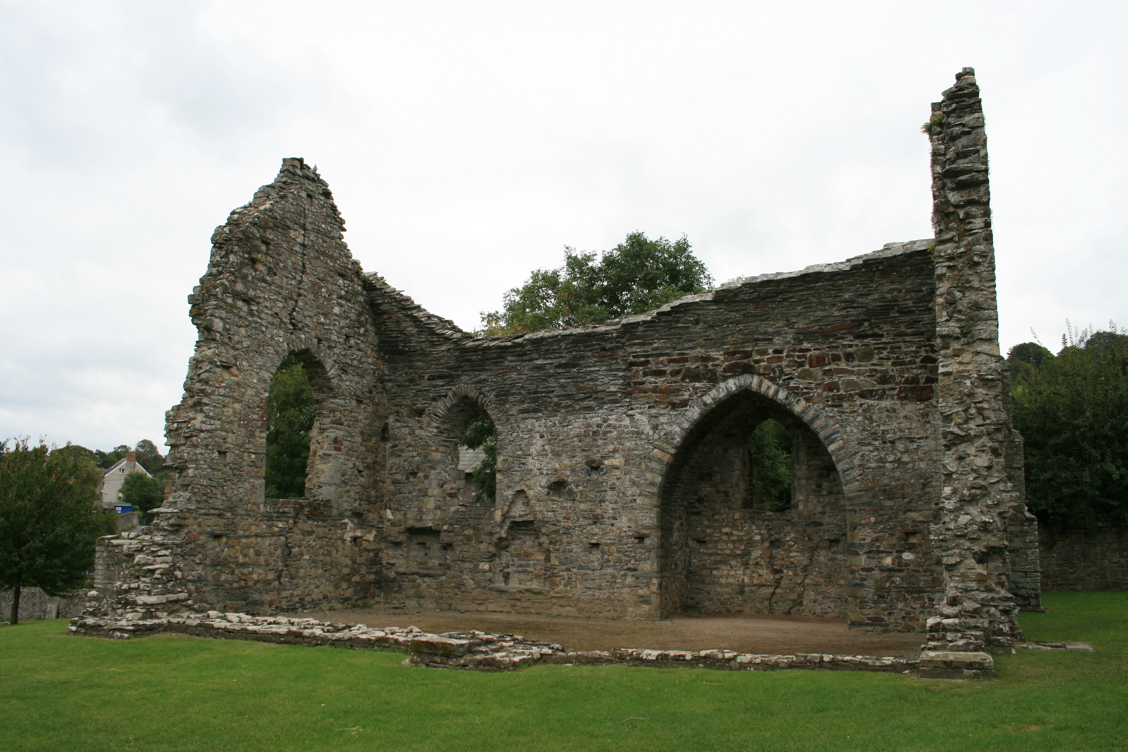
Abbey of St Mary, St Dogmaels
The Abbey of St Mary (also known as St Dogmaels Abbey) is Grade I listed ruined abbey in St Dogmaels in Pembrokeshire, Wales, on the banks of the River...
Y Ferwig
Y Ferwig (sometimes spelled Verwig) is a small village and community about 2 to 3 miles from Cardigan, Wales. == Amenities == The village is made up of...
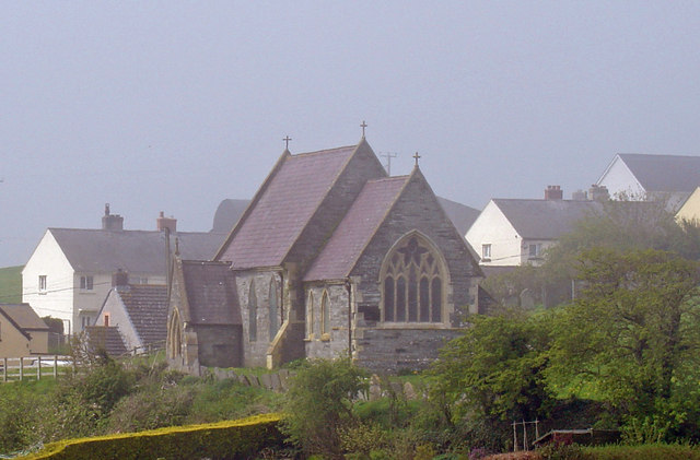
St Dogmaels
St Dogmaels (Welsh: Llandudoch) is a village, parish and community in Pembrokeshire, Wales, on the estuary of the River Teifi, a mile downstream from the...
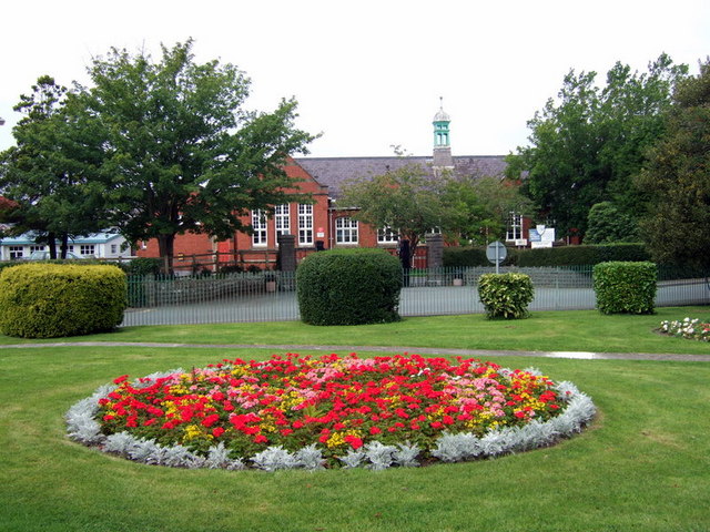
Ysgol Uwchradd Aberteifi
Ysgol Uwchradd Aberteifi, translated as Cardigan Secondary School is a bilingual secondary school in Cardigan, Ceredigion, Wales. It offers secondary education...
Nearby Amenities
Located within 500m of 52.104224,-4.6882072Have you been to Pen yr Ergyd?
Leave your review of Pen yr Ergyd below (or comments, questions and feedback).