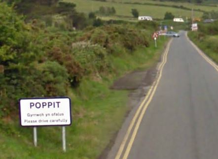
Poppit Sands
Beach in Pembrokeshire
Wales
Poppit Sands
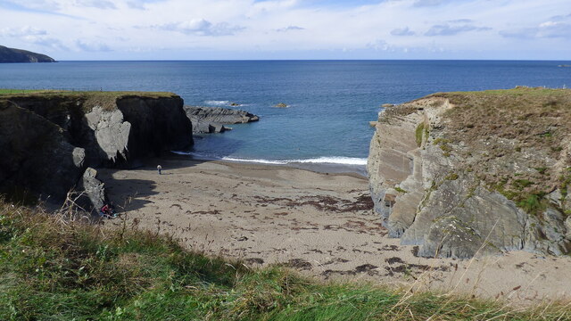
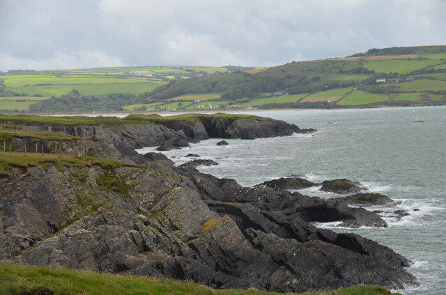
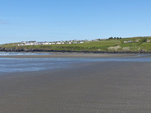
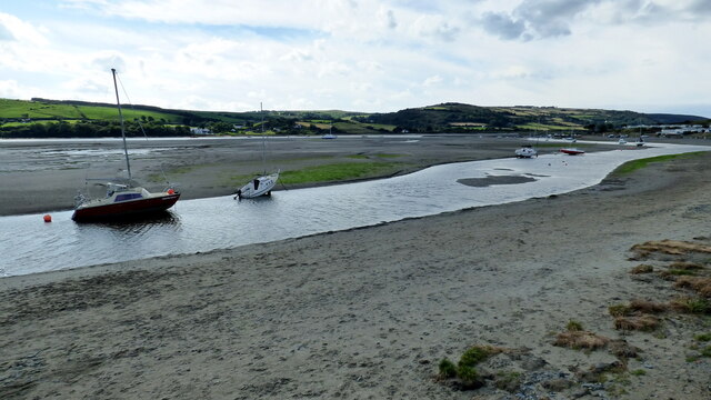
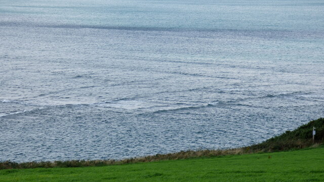
Poppit Sands is a picturesque sandy beach located on the north coast of Pembrokeshire, Wales. Stretching over a mile long, it is situated at the mouth of the Teifi Estuary, offering stunning views of the surrounding countryside and the Irish Sea.
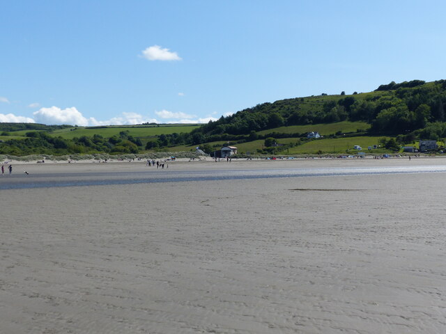
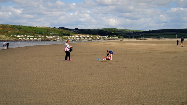
The beach is known for its clean and golden sand, making it a popular spot for families and sun-seekers. It is also a designated Blue Flag beach, indicating its high standards of cleanliness and water quality. The gentle slope of the shoreline makes it safe for swimming, and there are lifeguards on duty during the summer months to ensure the safety of visitors.
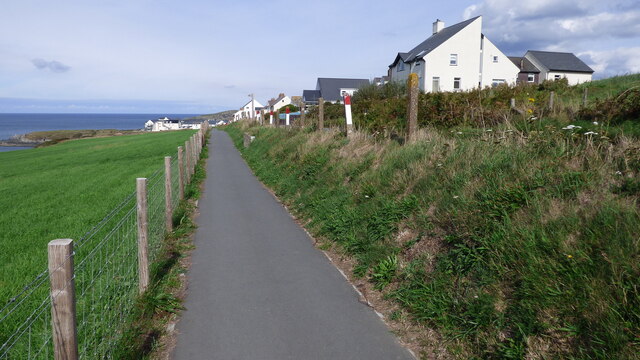
Poppit Sands is not only a great destination for sunbathing and swimming, but it also offers excellent opportunities for water sports enthusiasts. The estuary provides ideal conditions for windsurfing, sailing, and kayaking, with equipment available for hire nearby. The beach is also part of the Pembrokeshire Coast Path, making it an excellent starting point for scenic coastal walks.
Facilities at Poppit Sands include ample parking, toilets, and a beachside café serving refreshments and snacks. There is also a nearby caravan park, offering accommodation for those who wish to stay longer and explore the surrounding area.
With its natural beauty, clean waters, and range of activities, Poppit Sands is a popular destination for both locals and tourists, offering a perfect combination of relaxation and outdoor adventure.
If you have any feedback on the listing, please let us know in the comments section below.
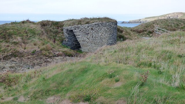
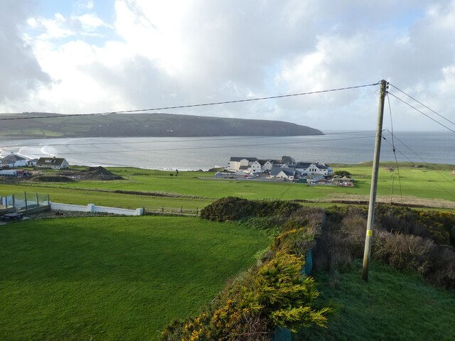
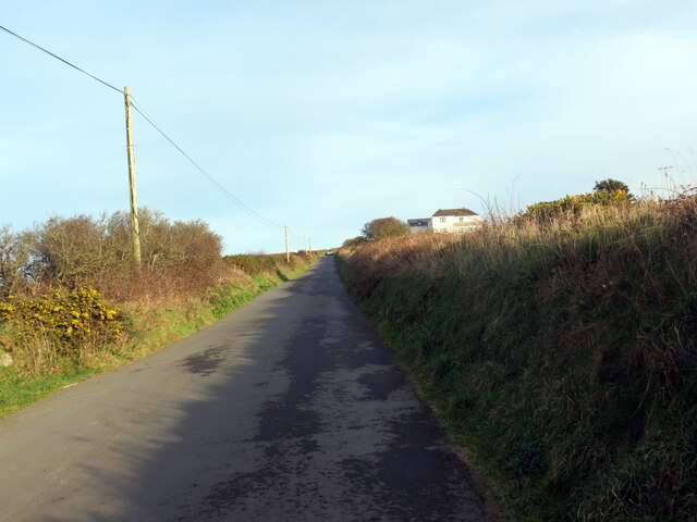
Poppit Sands Images
Images are sourced within 2km of 52.106412/-4.6975252 or Grid Reference SN1548. Thanks to Geograph Open Source API. All images are credited.


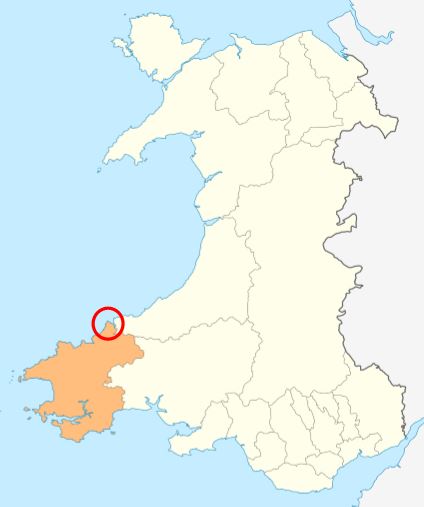
Poppit Sands is located at Grid Ref: SN1548 (Lat: 52.106412, Lng: -4.6975252)
Unitary Authority: Pembrokeshire
Police Authority: Dyfed Powys
What 3 Words
///firelight.losses.amount. Near Cardigan, Ceredigion
Nearby Locations
Related Wikis
Poppit Sands
Poppit (Welsh: Poppit) is a small, dispersed settlement which lies on the southern side of the estuary of the River Teifi, near Cardigan, in northern Pembrokeshire...
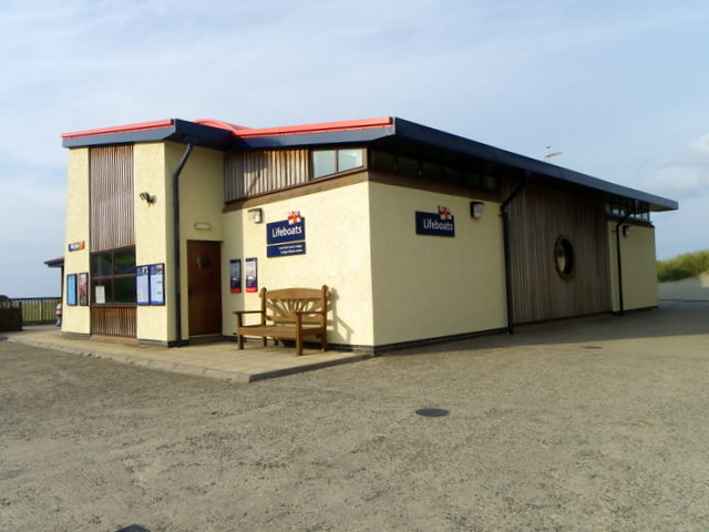
Cardigan Lifeboat Station
Cardigan Lifeboat Station, at Poppit Sands, North Pembrokeshire, near Cardigan, Ceredigion, Wales, is a Royal National Lifeboat Institution (RNLI) lifeboat...

River Teifi
The River Teifi (English: ; Welsh: Afon Teifi, pronounced [ˈavɔn ˈtəɪvɪ]) in Wales forms the boundary for most of its length between the counties of Ceredigion...

Gwbert
Gwbert (Welsh pronunciation: [ˈɡubɛrt]), also known as Gwbert-on-Sea, is a cliff-top coastal village in Y Ferwig community, Ceredigion, Wales. It lies...
Cemaes Head
Cemaes Head (formerly Cemais, and historically anglicised as Cemmaes, Kemmaes or Kemmes) (Welsh: Pen Cemaes or Trwyn Cemaes) is a headland and nature reserve...
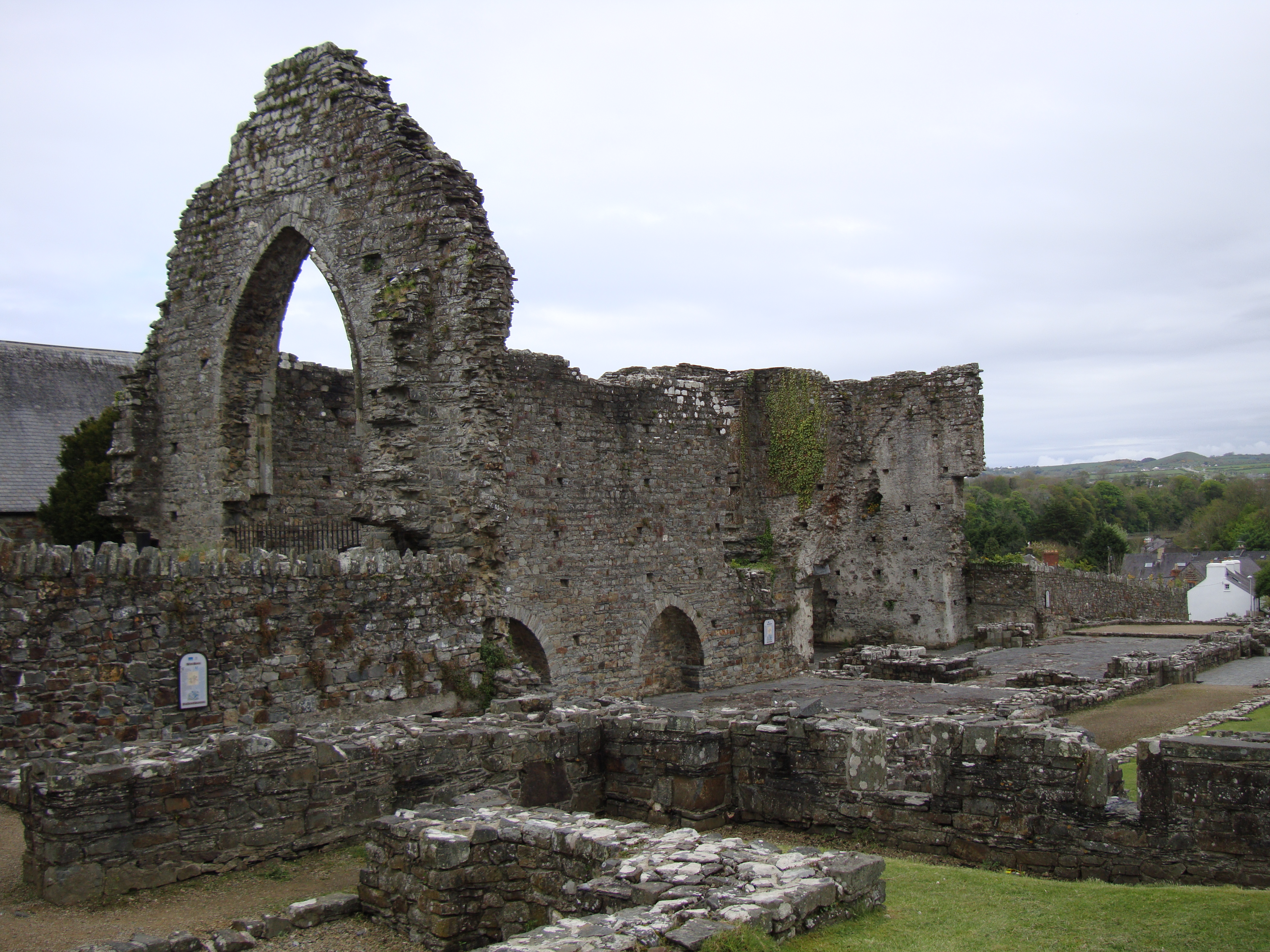
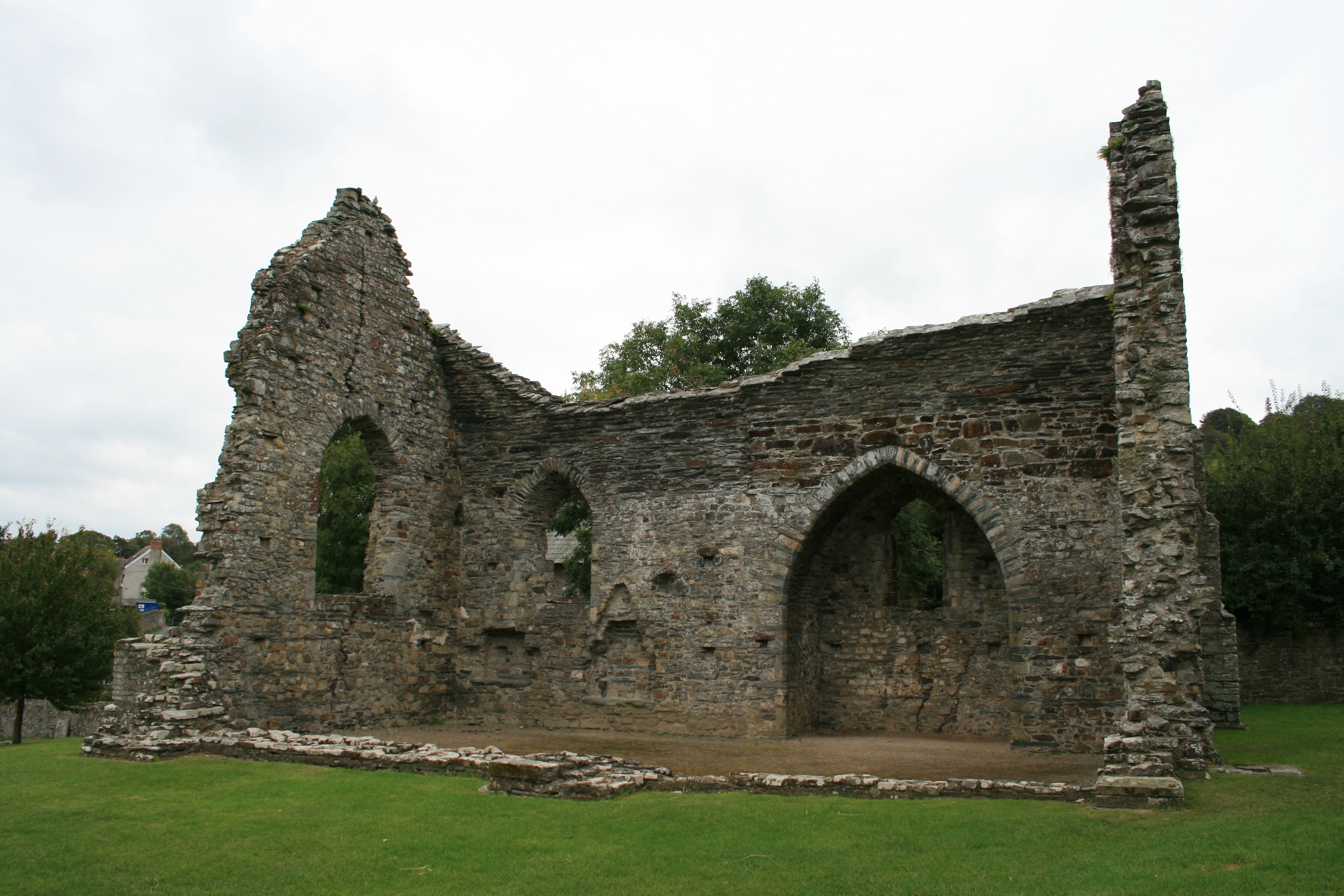
Abbey of St Mary, St Dogmaels
The Abbey of St Mary (also known as St Dogmaels Abbey) is Grade I listed ruined abbey in St Dogmaels in Pembrokeshire, Wales, on the banks of the River...

Cardigan Island
Cardigan Island (Welsh: Ynys Aberteifi) is an uninhabited island north of Cardigan, Ceredigion, south-west Wales. It reaches a height of 52 metres (171...
St Dogmaels
St Dogmaels (Welsh: Llandudoch) is a village, parish and community in Pembrokeshire, Wales, on the estuary of the River Teifi, a mile downstream from the...
Nearby Amenities
Located within 500m of 52.106412,-4.6975252Have you been to Poppit Sands?
Leave your review of Poppit Sands below (or comments, questions and feedback).