Bae'r Nant
Coastal Marsh, Saltings in Caernarfonshire
Wales
Bae'r Nant
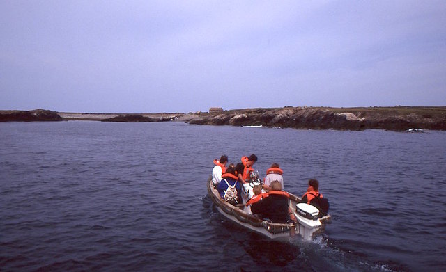
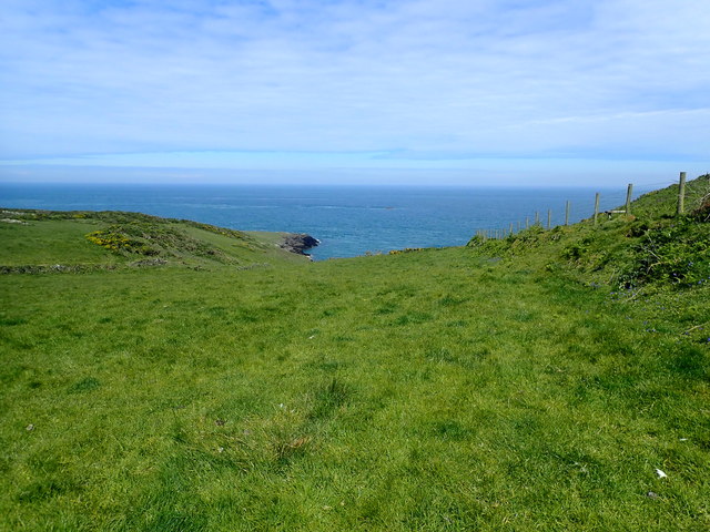
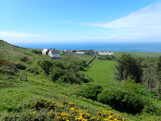
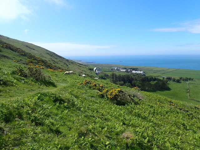
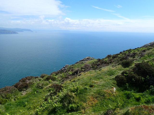
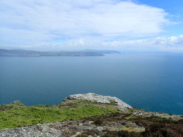
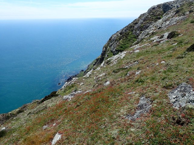
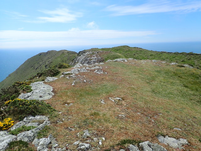
Bae'r Nant, also known as the Coastal Marsh or Saltings, is a beautiful natural area located in Caernarfonshire, Wales. Situated along the coast, it covers a vast expanse of marshland and salt marshes, creating a diverse and unique ecosystem.
The Coastal Marsh is characterized by its flat and often muddy terrain, which is influenced by the tides of the nearby Irish Sea. The area is home to a wide variety of plant and animal species, including salt-tolerant grasses, shrubs, and reeds that thrive in the brackish conditions. These vegetation types provide an important habitat for numerous bird species, such as curlews, redshanks, and lapwings, making it a popular spot for birdwatching enthusiasts.
The landscape of Bae'r Nant is constantly changing due to the dynamic nature of the tide. During high tides, the marshes are submerged, creating a temporary estuary and attracting a range of marine life, including fish and crustaceans. As the tide recedes, it reveals intricate patterns of mud flats and channels, providing a feeding ground for wading birds.
The Coastal Marsh is not only a haven for wildlife but also a place of great natural beauty. Visitors can enjoy breathtaking views of the sea, marshes, and surrounding mountains, making it an ideal location for walks, photography, and nature appreciation.
Bae'r Nant is also recognized for its ecological importance and is protected as a Site of Special Scientific Interest (SSSI), ensuring its preservation for future generations.
If you have any feedback on the listing, please let us know in the comments section below.
Bae'r Nant Images
Images are sourced within 2km of 52.767622/-4.7868095 or Grid Reference SH1222. Thanks to Geograph Open Source API. All images are credited.
![The misty isle The title might suggest the Isle of Skye, but this is Ynys Enlli [Bardsey] shrouded in sea mist on a warm September day.](https://s0.geograph.org.uk/geophotos/05/55/75/5557588_00d7f4cc.jpg)

Bae'r Nant is located at Grid Ref: SH1222 (Lat: 52.767622, Lng: -4.7868095)
Unitary Authority: Gwynedd
Police Authority: North Wales
What 3 Words
///available.flaunting.lemmings. Near Nefyn, Gwynedd
Nearby Locations
Related Wikis

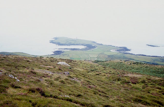
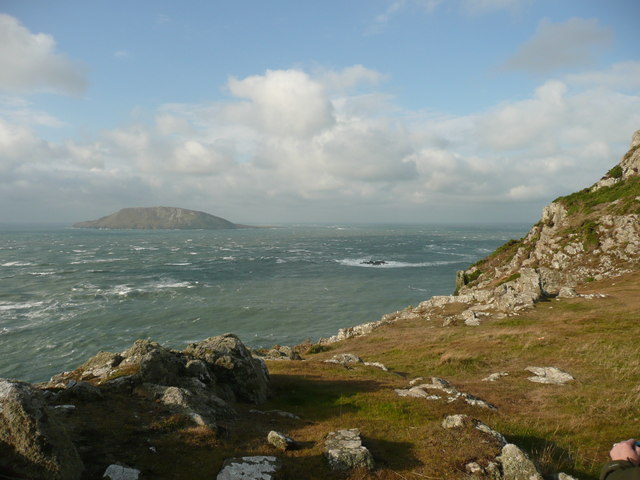
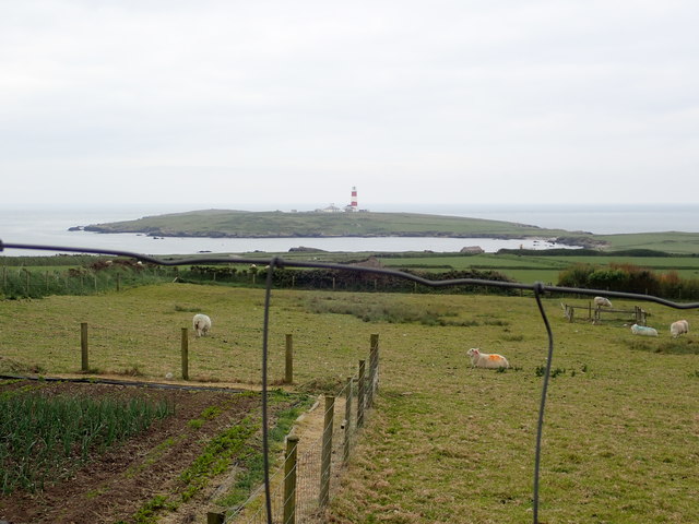
Bardsey Island
Bardsey Island (Welsh: Ynys Enlli), known as the legendary "Island of 20,000 Saints", is located 1.9 miles (3.1 km) off the Llŷn Peninsula in the Welsh...

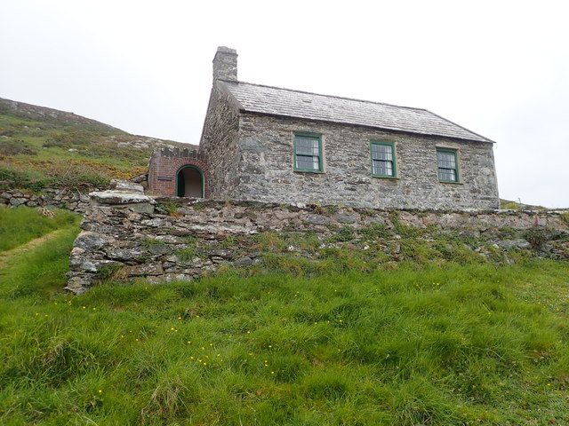
Bardsey Bird and Field Observatory
Bardsey Bird and Field Observatory is a bird observatory on Bardsey Island, off the Welsh coast. It was founded in 1953 by a group of ornithologists from...

Bardsey Lighthouse
Bardsey Lighthouse stands on the southerly tip of Bardsey Island, off the Llŷn Peninsula in Gwynedd, Wales, and guides vessels passing through St George...

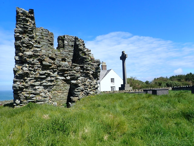
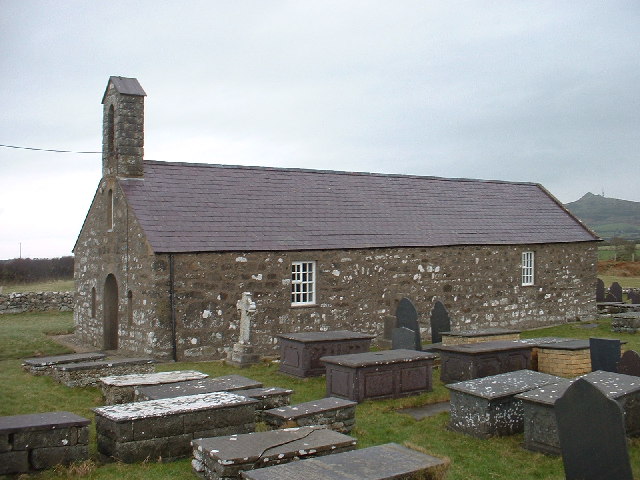
St Hywyn's Church, Aberdaron
The Church of St Hywyn, Aberdaron, Gwynedd, Wales, is a parish church dating from the 12th century. Its origins are earlier, as a clas church from the...

Aberdaron
Aberdaron is a community, electoral ward and former fishing village at the western tip of the Llŷn Peninsula in the Welsh county of Gwynedd. It lies 14...
Llanfaelrhys
Llanfaelrhys is a village and former civil parish in the Welsh county of Gwynedd, located on the Llŷn Peninsula. The parish was abolished in 1934 and...
Nearby Amenities
Located within 500m of 52.767622,-4.7868095Have you been to Bae'r Nant?
Leave your review of Bae'r Nant below (or comments, questions and feedback).