St Mary's Abbey
Heritage Site in Caernarfonshire
Wales
St Mary's Abbey

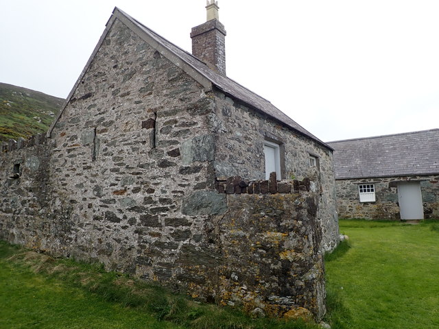
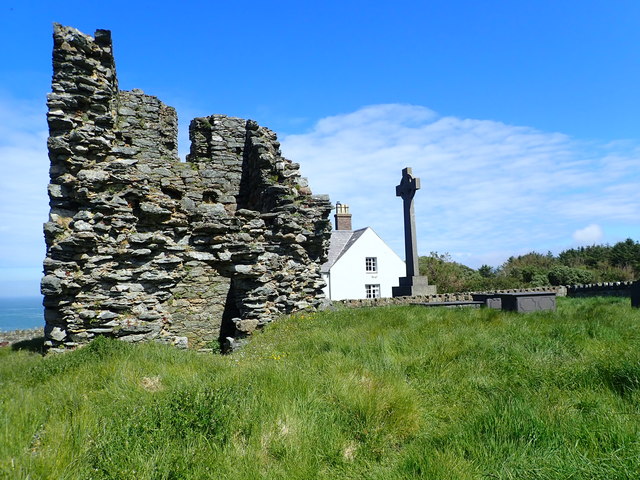
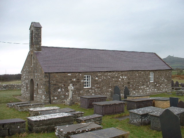
St Mary's Abbey, located in Caernarfonshire, Wales, is a significant heritage site with a rich history dating back to the 12th century. The abbey was founded in 1188 by the Cistercian monks and was dedicated to the Virgin Mary. It served as a religious center and a place of worship for centuries.
The abbey's architecture is a fine example of the Cistercian style, characterized by simplicity and austerity. The structure was built using local stone, creating a harmonious blend with the surrounding natural landscape. The abbey features a cruciform layout with a central tower, transepts, and a nave. The carefully designed windows allow natural light to illuminate the interior, creating a serene and tranquil atmosphere.
Throughout its history, St Mary's Abbey played a pivotal role in the local community. The monks engaged in prayer, study, and manual labor, working the lands surrounding the abbey and providing for themselves and the nearby village. The abbey also served as a place of refuge for travelers and pilgrims.
However, the abbey's peaceful existence was disrupted during the Dissolution of the Monasteries in the 16th century. King Henry VIII ordered the dissolution, resulting in the abbey's closure in 1537. The buildings were then dismantled, and the materials were reused in the construction of nearby structures.
Today, St Mary's Abbey remains in ruins, serving as a testament to its former glory. The site attracts visitors from around the world who come to admire its architectural beauty and learn about its historical significance. The abbey stands as a reminder of the religious heritage and cultural heritage of Caernarfonshire.
If you have any feedback on the listing, please let us know in the comments section below.
St Mary's Abbey Images
Images are sourced within 2km of 52.767/-4.78 or Grid Reference SH1222. Thanks to Geograph Open Source API. All images are credited.
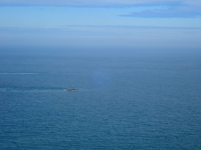
![The misty isle The title might suggest the Isle of Skye, but this is Ynys Enlli [Bardsey] shrouded in sea mist on a warm September day.](https://s0.geograph.org.uk/geophotos/05/55/75/5557588_00d7f4cc.jpg)

St Mary's Abbey is located at Grid Ref: SH1222 (Lat: 52.767, Lng: -4.78)
Unitary Authority: Gwynedd
Police Authority: North Wales
What 3 Words
///shielding.head.purchaser. Near Nefyn, Gwynedd
Nearby Locations
Related Wikis

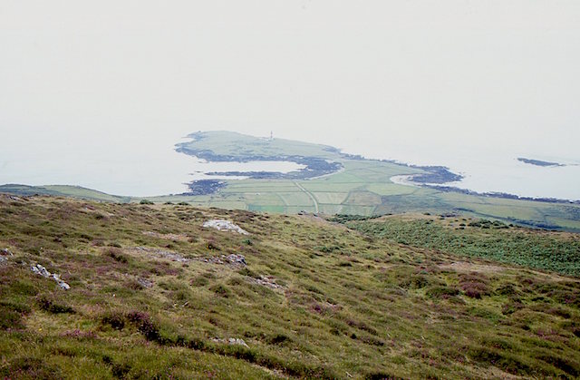
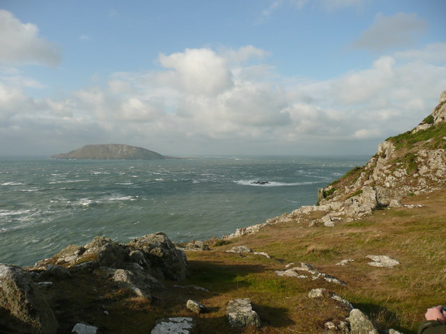
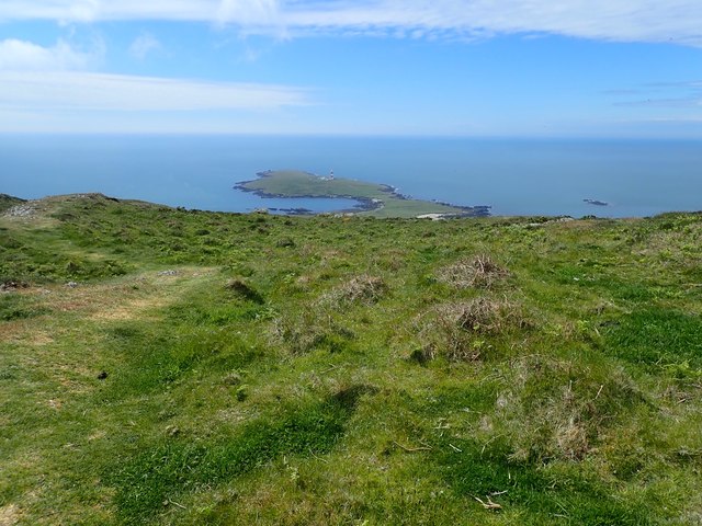
Bardsey Island
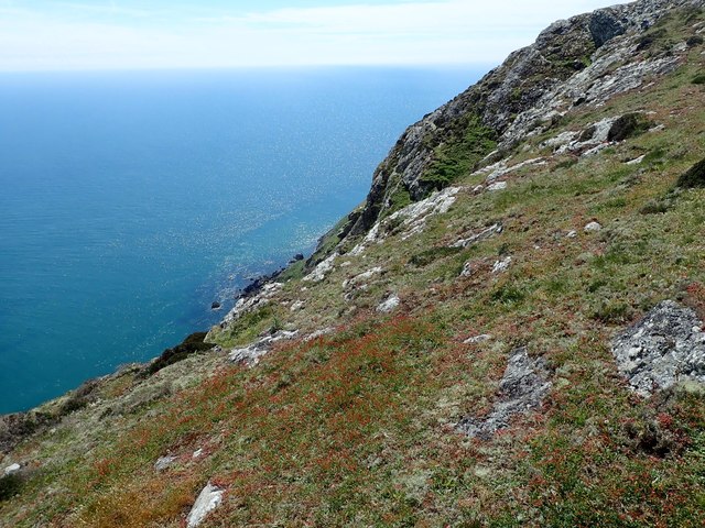
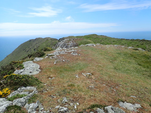
Bardsey Island (Welsh: Ynys Enlli), known as the legendary "Island of 20,000 Saints", is located 1.9 miles (3.1 km) off the Llŷn Peninsula in the Welsh...

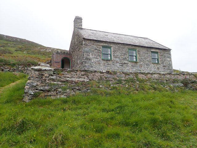
Bardsey Bird and Field Observatory
Bardsey Bird and Field Observatory is a bird observatory on Bardsey Island, off the Welsh coast. It was founded in 1953 by a group of ornithologists from...

Bardsey Lighthouse
Bardsey Lighthouse stands on the southerly tip of Bardsey Island, off the Llŷn Peninsula in Gwynedd, Wales, and guides vessels passing through St George...

St Hywyn's Church, Aberdaron
The Church of St Hywyn, Aberdaron, Gwynedd, Wales, is a parish church dating from the 12th century. Its origins are earlier, as a clas church from the...

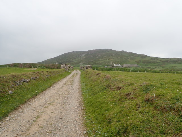
Aberdaron
Aberdaron is a community, electoral ward and former fishing village at the western tip of the Llŷn Peninsula in the Welsh county of Gwynedd. It lies 14...
Llanfaelrhys
Llanfaelrhys is a village and former civil parish in the Welsh county of Gwynedd, located on the Llŷn Peninsula. The parish was abolished in 1934 and...
Nearby Amenities
Located within 500m of 52.767,-4.78Have you been to St Mary's Abbey?
Leave your review of St Mary's Abbey below (or comments, questions and feedback).