Dunan
Coastal Feature, Headland, Point in Argyllshire
Scotland
Dunan

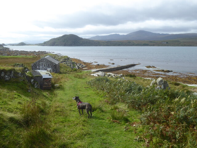
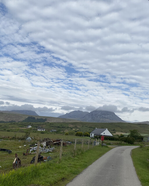
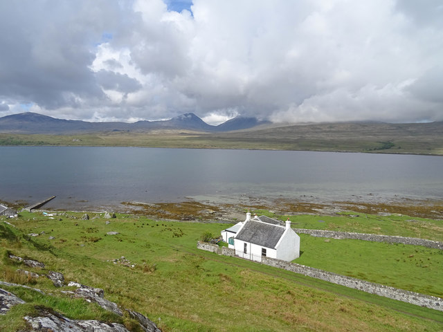
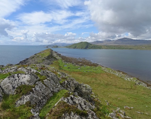
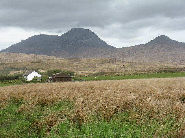
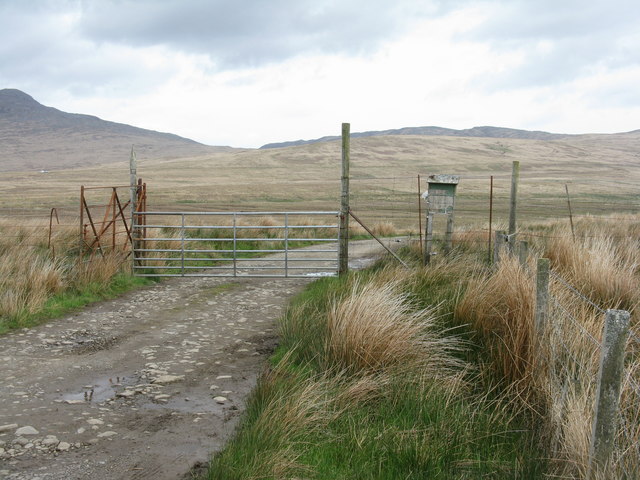
Dunan is a picturesque coastal feature located in Argyllshire, Scotland. It is a prominent headland that stretches out into the crystal-clear waters of the North Atlantic Ocean. Offering breathtaking panoramic views, Dunan is a popular destination for nature enthusiasts and tourists alike.
The headland is characterized by its rugged cliffs, which tower above the rocky shoreline. These cliffs have been formed over millions of years by the constant battering of the waves, creating a dramatic and awe-inspiring landscape. The higher cliffs provide ideal vantage points for observing the surrounding area and capturing stunning photographs.
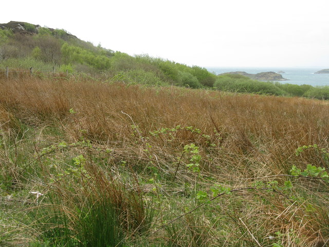
Dunan is also known for its diverse flora and fauna. The headland is home to a wide range of plant species, including hardy grasses, wildflowers, and shrubs that cling to the rocky terrain. Seabirds such as gulls, puffins, and cormorants can often be spotted nesting in the cliffs, while seals and dolphins can occasionally be seen swimming in the waters below.
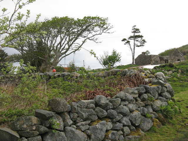
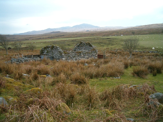
For those interested in history, Dunan holds significance as a site of ancient settlements. Archaeological excavations have revealed evidence of human habitation dating back thousands of years, including stone tools and remnants of structures. These findings offer a glimpse into the lives of the people who once called Dunan home.
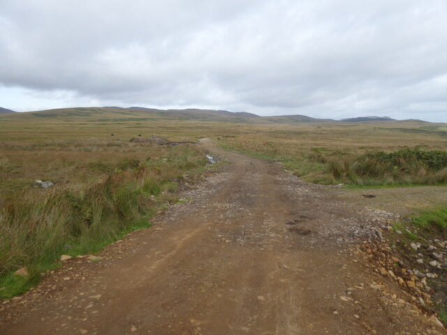
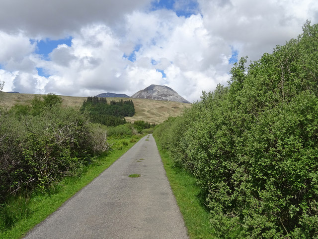
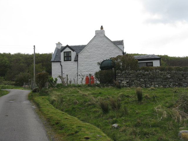
Visitors to Dunan can explore the headland by following well-maintained footpaths that wind their way along the cliff edges. The area is also a popular spot for hiking and birdwatching, with several designated trails and observation points. Additionally, the nearby village of Dunan provides amenities such as accommodation, dining options, and visitor information, making it a convenient base for exploring this captivating coastal feature.
If you have any feedback on the listing, please let us know in the comments section below.
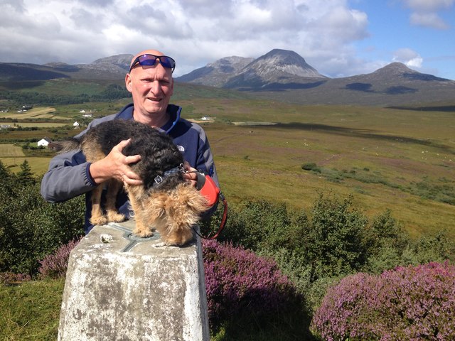
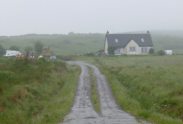
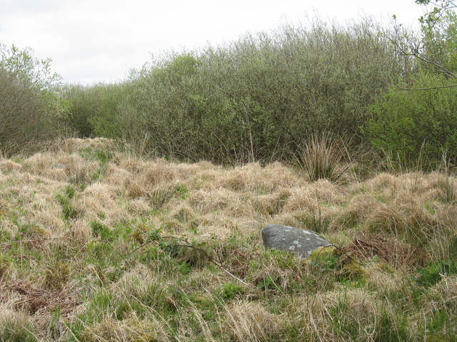
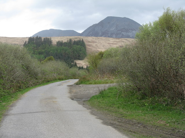
Dunan Images
Images are sourced within 2km of 55.871846/-5.8948059 or Grid Reference NR5671. Thanks to Geograph Open Source API. All images are credited.
Dunan is located at Grid Ref: NR5671 (Lat: 55.871846, Lng: -5.8948059)
Unitary Authority: Argyll and Bute
Police Authority: Argyll and West Dunbartonshire
Also known as: An Dùnan
What 3 Words
///magma.scribbled.tango. Near Craighouse, Argyll & Bute
Nearby Locations
Related Wikis

Ardfernal
Ardfernal (Scottish Gaelic: Àird Fheàrnail) is a hamlet on the island of Jura in Argyll and Bute, Scotland. The township had 16 buildings in 1882 and 9...

Knockrome
Knockrome is a hamlet on the island of Jura, in the civil parish of Jura, in the council area of Argyll and Bute, Scotland. On the 1982 OS 1:10000 map...
Ardmenish
Ardmenish (Scottish Gaelic: Àird Mhèanais) is a largely cleared village on the island of Jura, in Argyll and Bute, Scotland. In 2003 the Rozga family were...

Small Isles, Argyll
The Small Isles are a group of uninhabited islands east of Jura, in the council area of Argyll and Bute, Scotland. From south to north, the five islands...
Nearby Amenities
Located within 500m of 55.871846,-5.8948059Have you been to Dunan?
Leave your review of Dunan below (or comments, questions and feedback).