Druim Loisgte
Coastal Feature, Headland, Point in Argyllshire
Scotland
Druim Loisgte

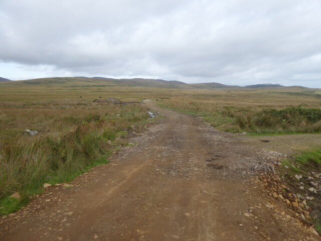
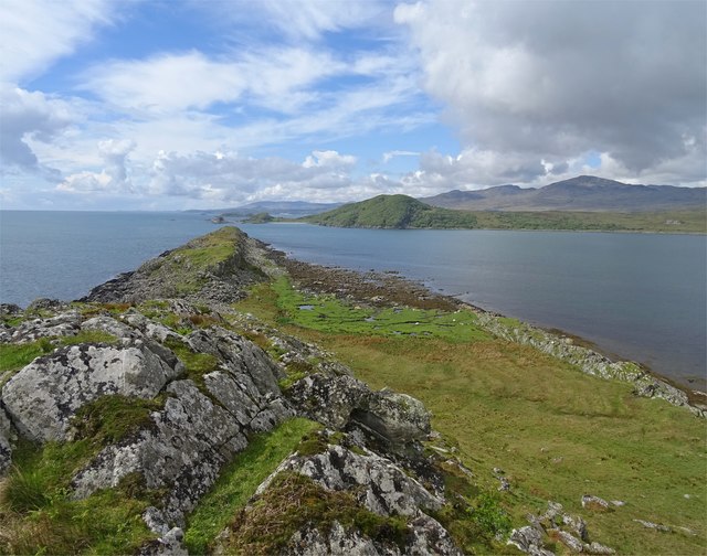
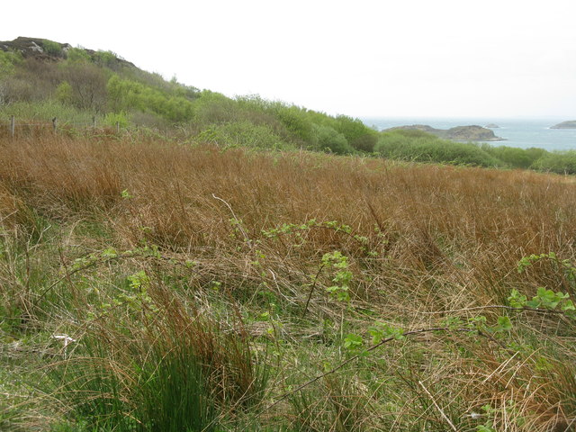
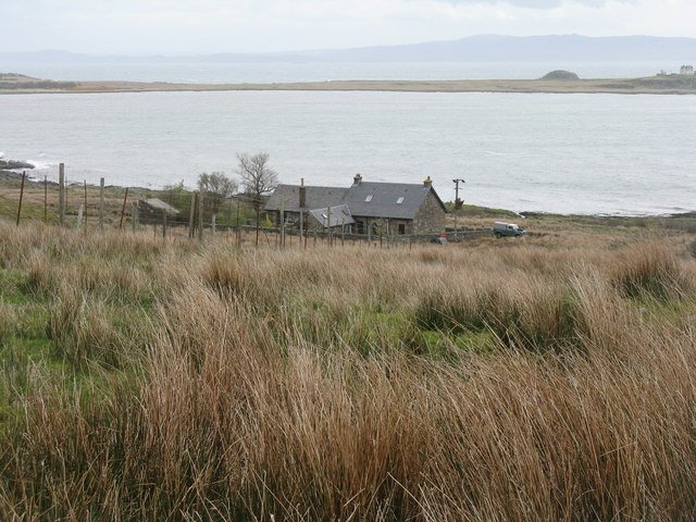
Druim Loisgte is a prominent coastal feature located in Argyllshire, Scotland. It is a headland or point that stretches out into the Atlantic Ocean, offering breathtaking views and a rugged landscape.
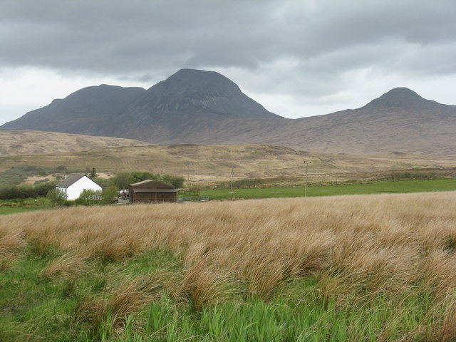
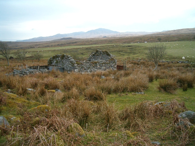
Situated on the western coast of Argyllshire, Druim Loisgte is known for its dramatic cliffs that rise tall above the crashing waves. The headland is made up of ancient rocks, predominantly composed of sandstone and shale, which have been shaped by years of erosion from the relentless sea. This erosion has created a rugged and picturesque coastline, which attracts visitors from far and wide.
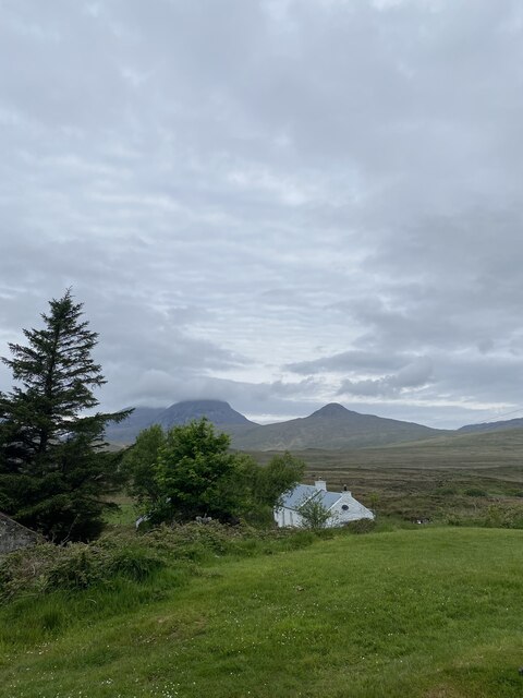
The headland is surrounded by pristine beaches and crystal-clear waters, making it an ideal spot for coastal walks and nature exploration. The area is home to a diverse range of wildlife, including seabirds, seals, and even occasional sightings of dolphins and whales. The untouched beauty of Druim Loisgte is a haven for nature lovers and photographers alike.
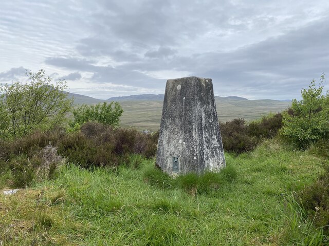
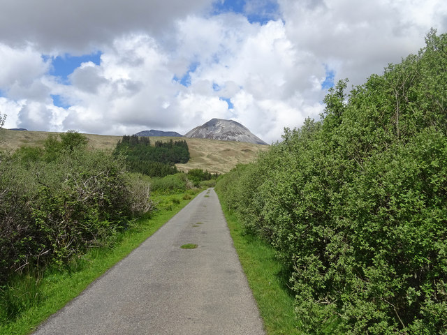
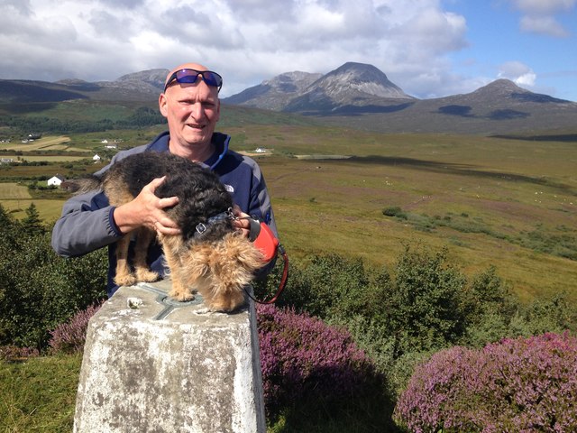
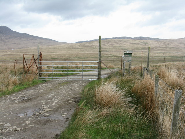
The headland is easily accessible from nearby towns and villages, with walking trails and paths that allow visitors to explore the cliffs and coastline. There are also a few lookout points that provide panoramic views of the surrounding area, allowing visitors to fully immerse themselves in the natural beauty of Druim Loisgte.
Overall, Druim Loisgte is a stunning coastal feature in Argyllshire, offering a unique blend of rugged landscapes, stunning views, and abundant wildlife. It is a must-visit destination for anyone seeking to experience the untamed beauty of Scotland's western coast.
If you have any feedback on the listing, please let us know in the comments section below.
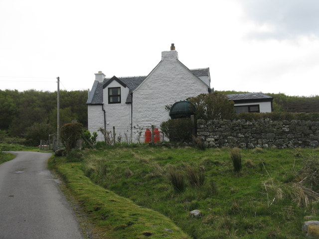
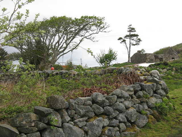
Druim Loisgte Images
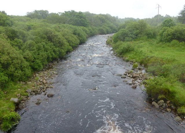
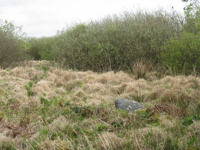
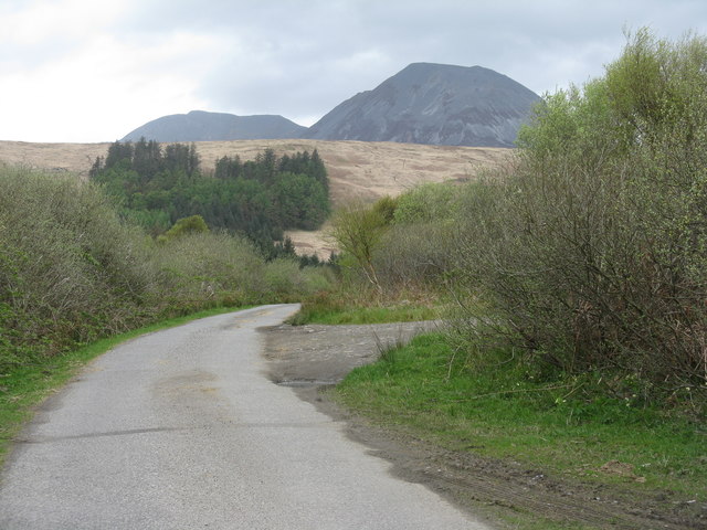
Images are sourced within 2km of 55.870288/-5.8991279 or Grid Reference NR5671. Thanks to Geograph Open Source API. All images are credited.
Druim Loisgte is located at Grid Ref: NR5671 (Lat: 55.870288, Lng: -5.8991279)
Unitary Authority: Argyll and Bute
Police Authority: Argyll and West Dunbartonshire
What 3 Words
///surfaces.disarmed.enrolling. Near Craighouse, Argyll & Bute
Nearby Locations
Related Wikis

Ardfernal
Ardfernal (Scottish Gaelic: Àird Fheàrnail) is a hamlet on the island of Jura in Argyll and Bute, Scotland. The township had 16 buildings in 1882 and 9...

Knockrome
Knockrome is a hamlet on the island of Jura, in the civil parish of Jura, in the council area of Argyll and Bute, Scotland. On the 1982 OS 1:10000 map...

Small Isles, Argyll
The Small Isles are a group of uninhabited islands east of Jura, in the council area of Argyll and Bute, Scotland. From south to north, the five islands...
Ardmenish
Ardmenish (Scottish Gaelic: Àird Mhèanais) is a largely cleared village on the island of Jura, in Argyll and Bute, Scotland. In 2003 the Rozga family were...
Nearby Amenities
Located within 500m of 55.870288,-5.8991279Have you been to Druim Loisgte?
Leave your review of Druim Loisgte below (or comments, questions and feedback).