Cnoc an t-Sean Duine
Hill, Mountain in Argyllshire
Scotland
Cnoc an t-Sean Duine
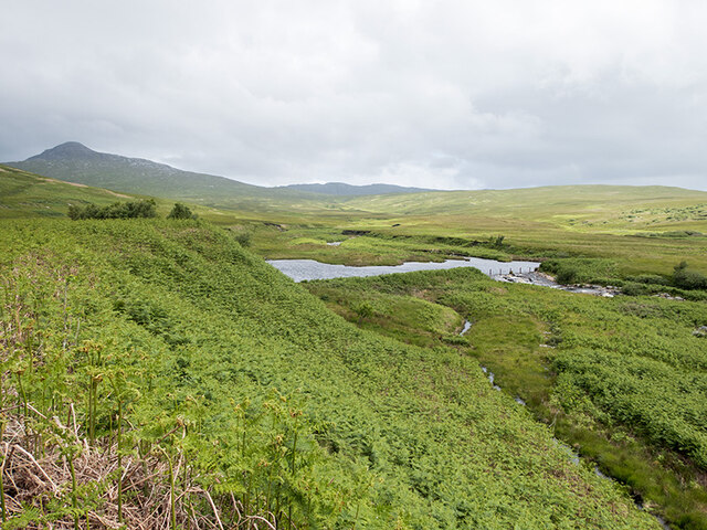
Cnoc an t-Sean Duine, located in Argyllshire, Scotland, is a prominent hill or mountain that offers breathtaking views and a rich history. Standing at an elevation of approximately 587 meters (1,926 feet), it is a popular destination for hikers and nature enthusiasts.
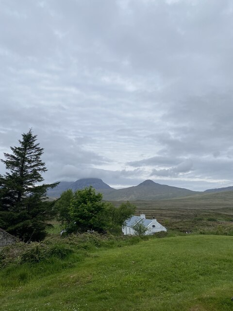
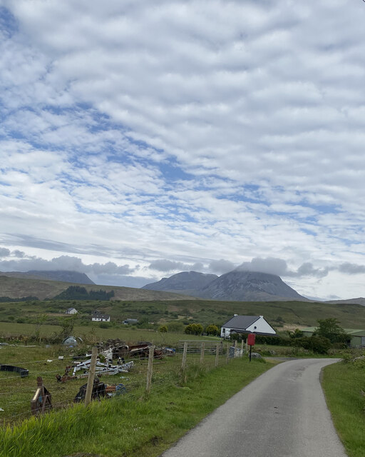
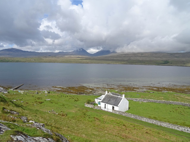
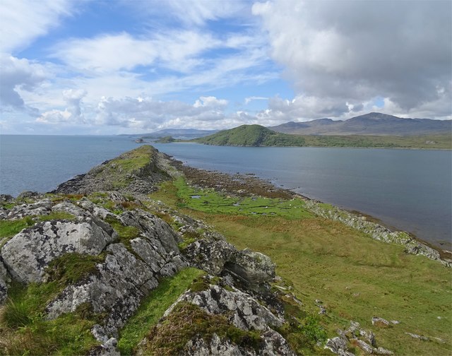
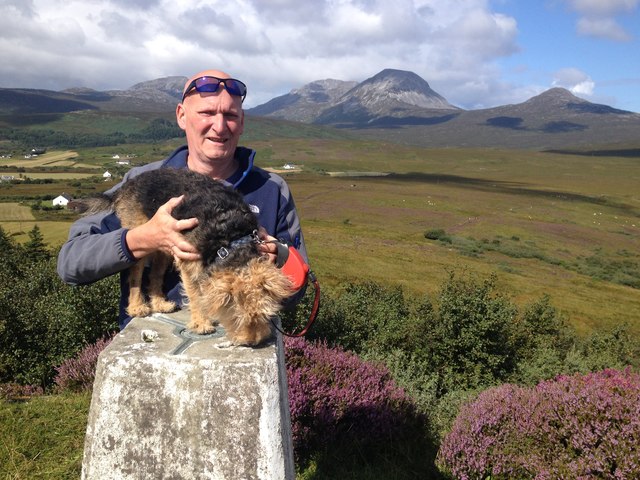
The hill is characterized by its distinctive rounded shape and its location within the stunning Argyll Forest Park. As visitors ascend, they are treated to panoramic vistas of the surrounding countryside, including the nearby Loch Long and the picturesque Arrochar Alps.
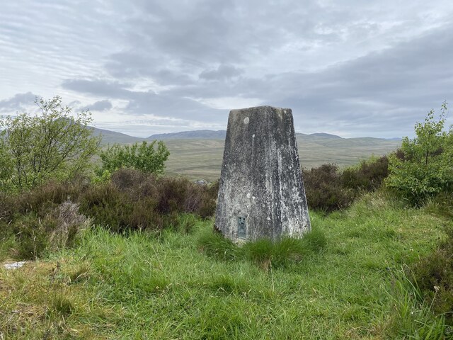
Cnoc an t-Sean Duine is steeped in history, with evidence of human activity dating back thousands of years. Ancient hill forts and burial mounds can be found in the area, highlighting its importance as a strategic location in ancient times.
The hill is also home to a variety of flora and fauna, with heather, mosses, and lichens covering the slopes. Birdwatchers may spot species such as golden eagles, buzzards, and red grouse, while deer and other wildlife roam the nearby forests.
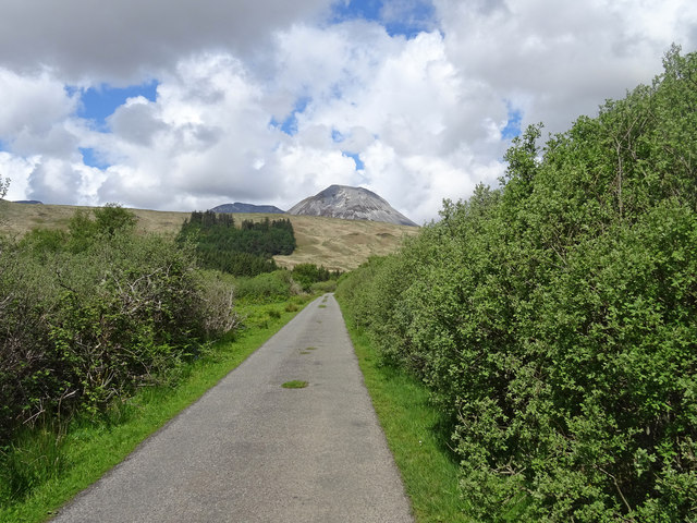
For those seeking outdoor adventure, Cnoc an t-Sean Duine offers several hiking routes of varying difficulty. The most popular trail begins at Arrochar and takes approximately 4-5 hours to complete, offering a challenging yet rewarding experience for experienced hikers.
Overall, Cnoc an t-Sean Duine is a captivating natural landmark in Argyllshire, combining stunning scenery, a rich historical heritage, and opportunities for outdoor exploration. It is a must-visit destination for anyone seeking to immerse themselves in the rugged beauty of the Scottish Highlands.
If you have any feedback on the listing, please let us know in the comments section below.
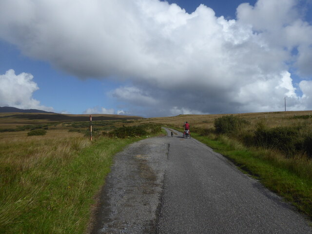
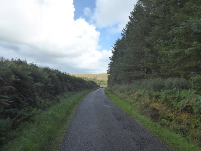
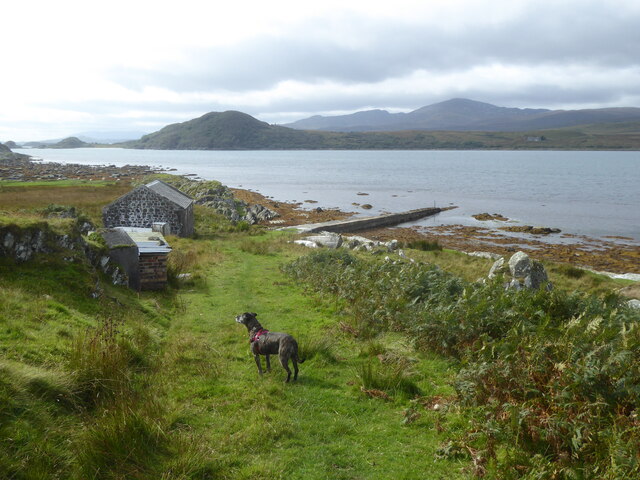
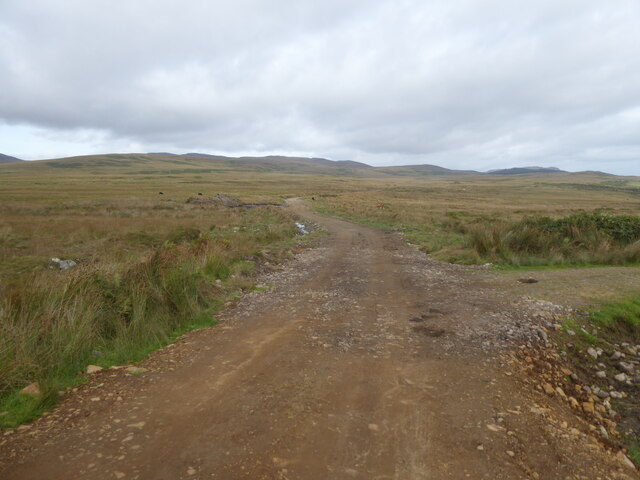
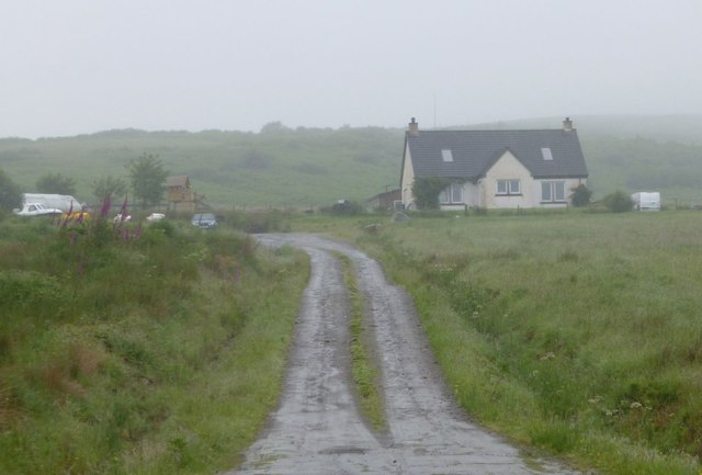
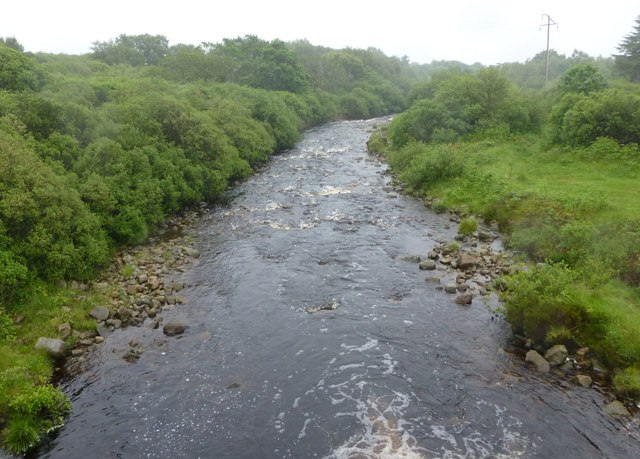
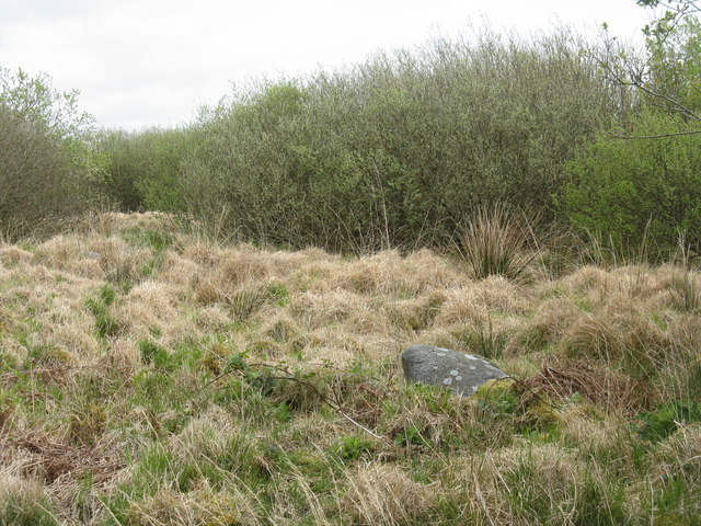
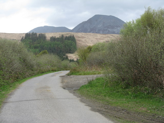
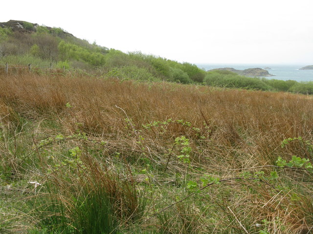
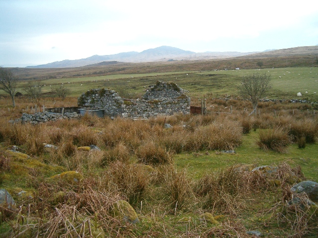
Cnoc an t-Sean Duine Images
Images are sourced within 2km of 55.873429/-5.9013146 or Grid Reference NR5671. Thanks to Geograph Open Source API. All images are credited.

Cnoc an t-Sean Duine is located at Grid Ref: NR5671 (Lat: 55.873429, Lng: -5.9013146)
Unitary Authority: Argyll and Bute
Police Authority: Argyll and West Dunbartonshire
What 3 Words
///spearhead.dean.registers. Near Craighouse, Argyll & Bute
Nearby Locations
Related Wikis

Ardfernal
Ardfernal (Scottish Gaelic: Àird Fheàrnail) is a hamlet on the island of Jura in Argyll and Bute, Scotland. The township had 16 buildings in 1882 and 9...

Knockrome
Knockrome is a hamlet on the island of Jura, in the civil parish of Jura, in the council area of Argyll and Bute, Scotland. On the 1982 OS 1:10000 map...
Ardmenish
Ardmenish (Scottish Gaelic: Àird Mhèanais) is a largely cleared village on the island of Jura, in Argyll and Bute, Scotland. In 2003 the Rozga family were...

Small Isles, Argyll
The Small Isles are a group of uninhabited islands east of Jura, in the council area of Argyll and Bute, Scotland. From south to north, the five islands...
Nearby Amenities
Located within 500m of 55.873429,-5.9013146Have you been to Cnoc an t-Sean Duine?
Leave your review of Cnoc an t-Sean Duine below (or comments, questions and feedback).