Beinn Glas

Hill, Mountain in Ross-shire

Scotland

Beinn Glas

Peat road south of Skigersta
Peat road south of Skigersta Credit: Catherine Morgan

Beinn Glas is a prominent hill located in Ross-shire, in the Scottish Highlands. It is part of the larger Beinn Eighe National Nature Reserve, situated near the village of Kinlochewe. With an elevation of approximately 626 meters (2,054 feet), it is not considered a mountain by strict definition but is still an impressive landmark in the area.

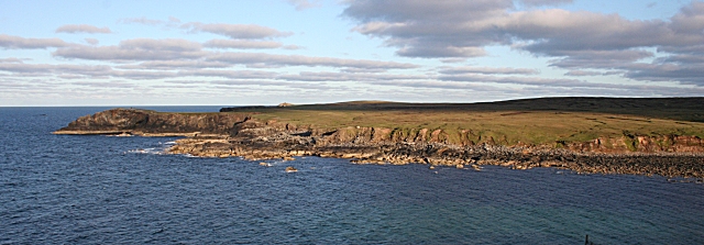
The terrain surrounding Beinn Glas is characterized by its rugged and rocky nature, typical of the Scottish Highlands. It offers stunning panoramic views of the surrounding landscape, including the nearby Loch Maree and the Torridon Mountains. The hill is covered in heather and grass, providing a colorful landscape during the summer months.

Beinn Glas is a popular destination for hikers and outdoor enthusiasts who are looking for a challenging but rewarding climb. The ascent can be steep and demanding, but the effort is well worth it for those seeking breathtaking views and a sense of accomplishment. The summit provides a perfect vantage point to admire the surrounding Munros, including the nearby Beinn Eighe and Slioch.

The hill is also home to a variety of flora and fauna, including red deer, golden eagles, and ptarmigan. It is an important habitat for several rare plant species, adding to its ecological significance.

Overall, Beinn Glas is a striking feature of the Ross-shire landscape, offering both stunning views and a challenging adventure for outdoor enthusiasts. Its accessibility from nearby Kinlochewe makes it a popular destination for hikers and nature lovers alike.

If you have any feedback on the listing, please let us know in the comments section below.
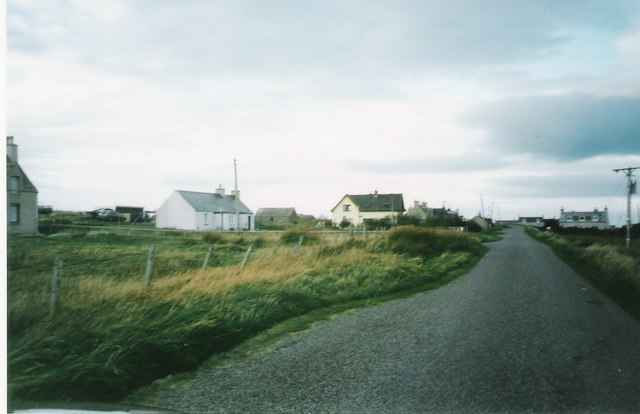
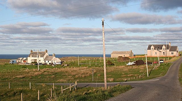
Beinn Glas Images

Images are sourced within 2km of 58.464529/-6.1842857 or Grid Reference NB5660. Thanks to Geograph Open Source API. All images are credited.
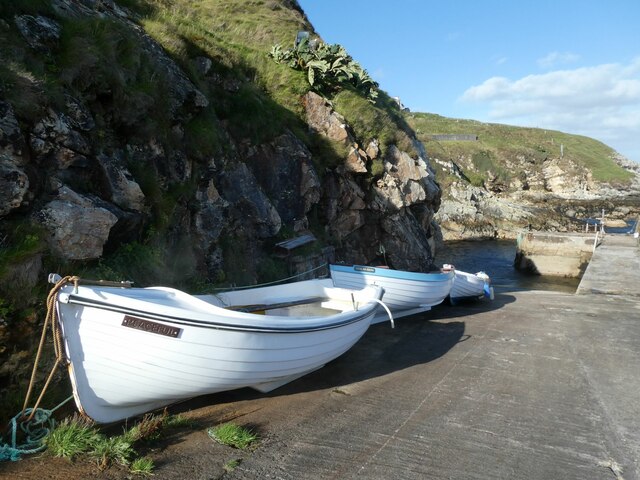
Peat road south of Skigersta
Skigersta harbour
Skigersta harbour
Peat workings south of Sgiogarstaigh A large and very active area of peat cutting at the north end of Lewis.
Peat workings south of Sgiogarstaigh
A large and very active area of peat cutting at the north end of Lewis.
Course of the Abhainn Chaidhsiadair You can hear the river, but barely see it as it flows in a narrow and deeply eroded channel through the peat. The line of the river is evidenced by the grass line through the moorland.
Course of the Abhainn Chaidhsiadair
You can hear the river, but barely see it as it flows in a narrow and deeply eroded channel through the peat. The line of the river is evidenced by the grass line through the moorland.
Sgiogarstaigh View A chilly October view looking toward the buildings of Sgiogarstaigh.
Sgiogarstaigh View
A chilly October view looking toward the buildings of Sgiogarstaigh.
Harbour, Port Sgiogarstaigh, Isle of Lewis Looking towards the headland called Cadha on which the <a href="https://www.geograph.org.uk/photo/4229050">NB5561 : Clifftop cairns, Cadha</a> can just be seen.
Harbour, Port Sgiogarstaigh, Isle of Lewis
Looking towards the headland called Cadha on which the NB5561 : Clifftop cairns, Cadha can just be seen.
Fishing boat, Port Sgiogarstaigh, Isle of Lewis SY751, which doesn't appear to be used anymore, is a Stornoway registered potter ie an inshore boat used to catch shellfish.
Fishing boat, Port Sgiogarstaigh, Isle of Lewis
SY751, which doesn't appear to be used anymore, is a Stornoway registered potter ie an inshore boat used to catch shellfish.
Peat cuttings at Seilastotar Peat has been the most important (inland) natural resource of the Western Isles since their deforestation around a thousand years ago.
Peat cuttings at Seilastotar
Peat has been the most important (inland) natural resource of the Western Isles since their deforestation around a thousand years ago.
Sgiogarstaigh Sgiogarstaigh is a traditional crofting township. It has common grazing.
Sgiogarstaigh
Sgiogarstaigh is a traditional crofting township. It has common grazing.
Sgiogarstaigh towards Port of Sgiogarstaigh
Slipway, Port Sgiogarstaigh
Pier at Port Sgiogarstaigh. The township of Sgiogarstaigh lies south of Port of Nis.
Pier at Port Sgiogarstaigh.
The township of Sgiogarstaigh lies south of Port of Nis.
Croftland at Sgiogarstaigh Overlooking Port Sgiogarstaigh.
Croftland at Sgiogarstaigh
Overlooking Port Sgiogarstaigh.
Cliff top monument at Meall Geal The monument is to John Wilson Dougal, the founder of a chemical company in Edinburgh, and an amateur geologist. For many years he explored the geology of the Outer Hebrides, and was the first to describe their flinty-crush rock formations. Dougal wrote up many of his island adventures, and after his death they were published in Island Memories, a jewel of a book for anyone interested in the Hebrides.
Cliff top monument at Meall Geal
The monument is to John Wilson Dougal, the founder of a chemical company in Edinburgh, and an amateur geologist. For many years he explored the geology of the Outer Hebrides, and was the first to describe their flinty-crush rock formations. Dougal wrote up many of his island adventures, and after his death they were published in Island Memories, a jewel of a book for anyone interested in the Hebrides.
Sgiogarstaidh The road to the left is the one towards the port of Sgiogarstaigh.
Sgiogarstaidh
The road to the left is the one towards the port of Sgiogarstaigh.
Port Sgiogarstaigh This is the south side of the bay at Port Sgiogarstaigh, still in the evening sunshine though the north side, from which this is taken, is in the shade.
Port Sgiogarstaigh
This is the south side of the bay at Port Sgiogarstaigh, still in the evening sunshine though the north side, from which this is taken, is in the shade.
Natural arch near Port Sgiogarstaigh Natural arch carved through gneiss, with what appears to be glacial till above. This small arch is not the one named on the OS map, that being a much more impressive sea tunnel that goes right through the nearby headland.
Natural arch near Port Sgiogarstaigh
Natural arch carved through gneiss, with what appears to be glacial till above. This small arch is not the one named on the OS map, that being a much more impressive sea tunnel that goes right through the nearby headland.
Coastline south of Port Sgiogarstaigh Looking along the coast from the headland [named as Cadha on the OS map] towards the cliff at Creag Dubh.
Coastline south of Port Sgiogarstaigh
Looking along the coast from the headland [named as Cadha on the OS map] towards the cliff at Creag Dubh.
Show me another place!

Beinn Glas is located at Grid Ref: NB5660 (Lat: 58.464529, Lng: -6.1842857)

Unitary Authority: Na h-Eileanan an Iar

Police Authority: Highlands and Islands

What 3 Words

///conspire.however.unpainted. Near North Tolsta, Na h-Eileanan Siar

Related Wikis

Skigersta

Skigersta (Scottish Gaelic: Sgiogarstaigh) is a village to the south east of Ness on the Isle of Lewis, in the Outer Hebrides, Scotland. It is the easternmost...

Eorodale

Eorodale (Scottish Gaelic: Eòradal) is a settlement in the community of Ness, on Lewis, in the Outer Hebrides, Scotland. Eorodale is within the parish...

Adabroc

Adabrock (Scottish Gaelic: Adabroc), is a village in the area of Ness, Lewis, in the Outer Hebrides, Scotland. Adabrock is within the parish of Barvas...

Ness, Lewis

Ness (Scottish Gaelic: Nis) is the northernmost part of the Isle of Lewis, a community consisting of about 16 villages, including Lionel, Habost, Swainbost...

Have you been to Beinn Glas?

Leave your review of Beinn Glas below (or comments, questions and feedback).