Lucky Dogs Holes
Coastal Feature, Headland, Point in Yorkshire Scarborough
England
Lucky Dogs Holes
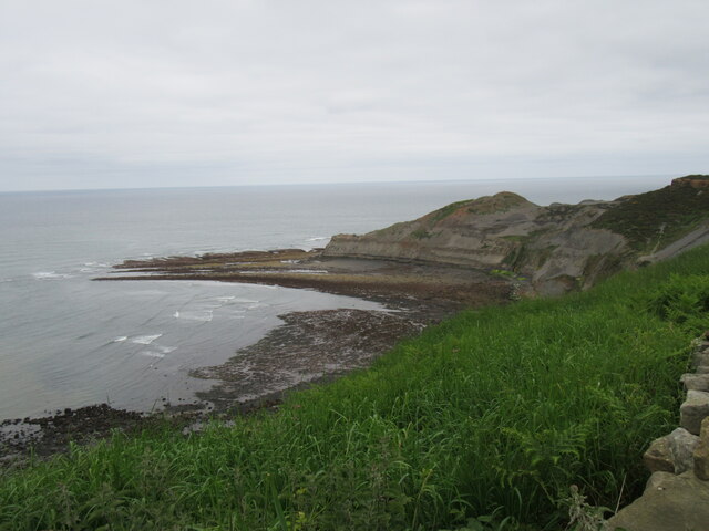
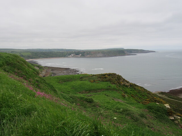
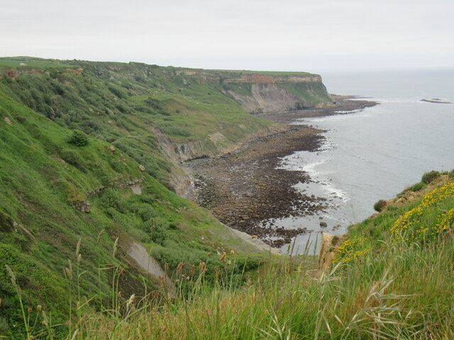
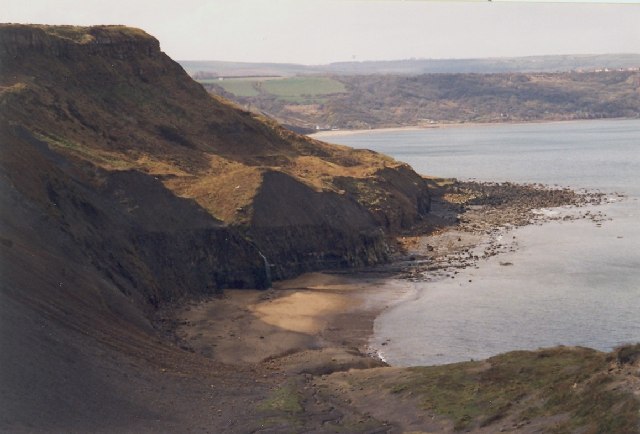
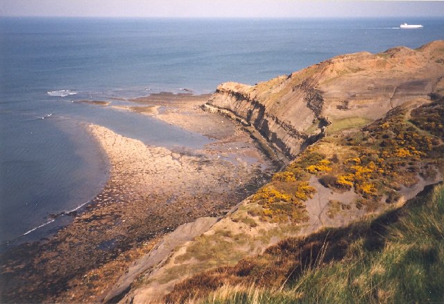
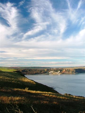
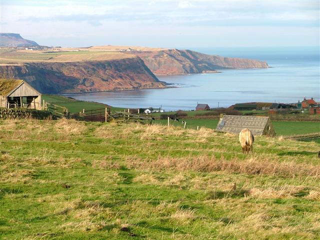
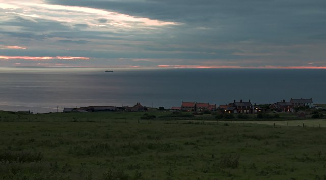
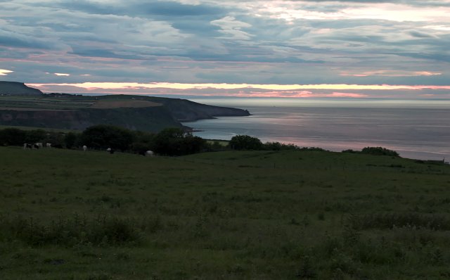
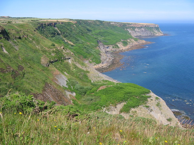
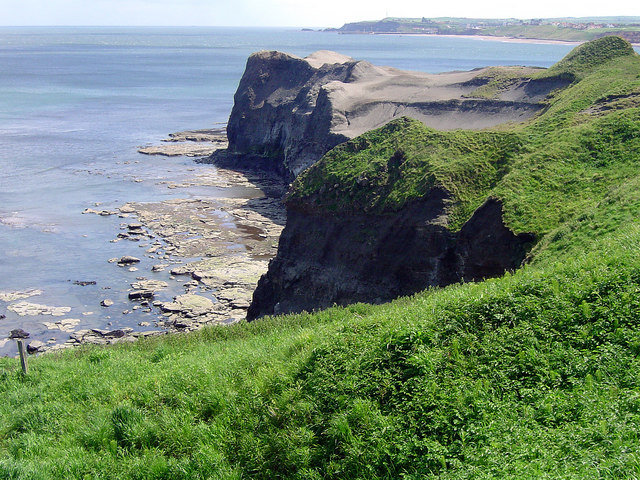
Lucky Dogs Holes is a prominent coastal feature located in Yorkshire, England. It is classified as a headland, also known as a point, which juts out into the North Sea. Situated along the picturesque Yorkshire coastline, Lucky Dogs Holes offers stunning views of the surrounding area.
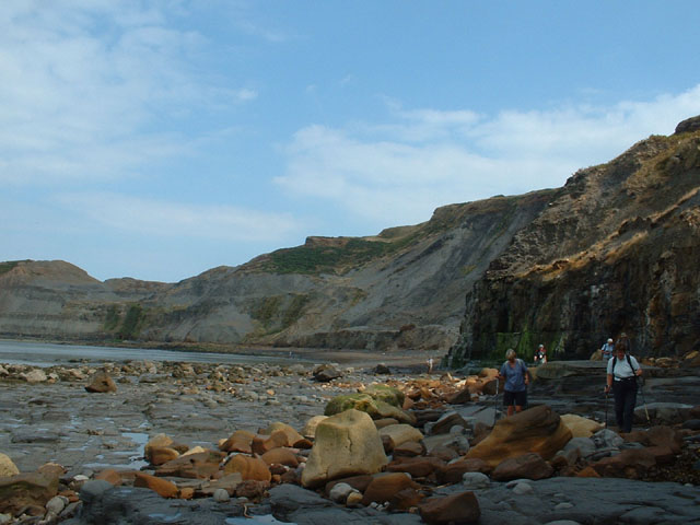
One of the most notable aspects of Lucky Dogs Holes is its rugged and rocky terrain. The headland is characterized by steep cliffs and jagged rocks, making it a popular spot for rock climbing enthusiasts. The cliffs provide a nesting site for various seabirds, such as guillemots and puffins, adding to the area's natural charm.
In addition to its striking geology, Lucky Dogs Holes boasts a diverse range of flora and fauna. The headland is home to several rare plant species, including sea thrift and rock samphire, which thrive in the salty coastal environment. The surrounding waters are teeming with marine life, making it a haven for wildlife enthusiasts and divers alike.
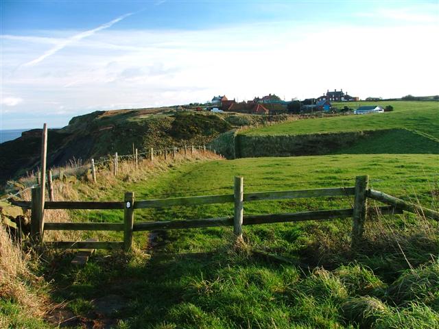
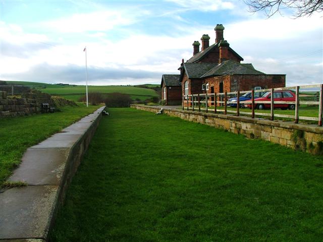
Visitors to Lucky Dogs Holes can explore the numerous walking trails that wind through the headland, offering breathtaking views of the coastline and the North Sea. The area is also a popular spot for picnicking, with several designated areas providing scenic locations for a leisurely lunch.
Overall, Lucky Dogs Holes is a captivating coastal feature that showcases the beauty and diversity of Yorkshire's coastline. Its dramatic cliffs, abundant wildlife, and stunning views make it a must-visit destination for nature enthusiasts and those seeking a peaceful retreat along the coast.
If you have any feedback on the listing, please let us know in the comments section below.
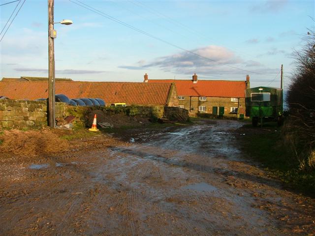
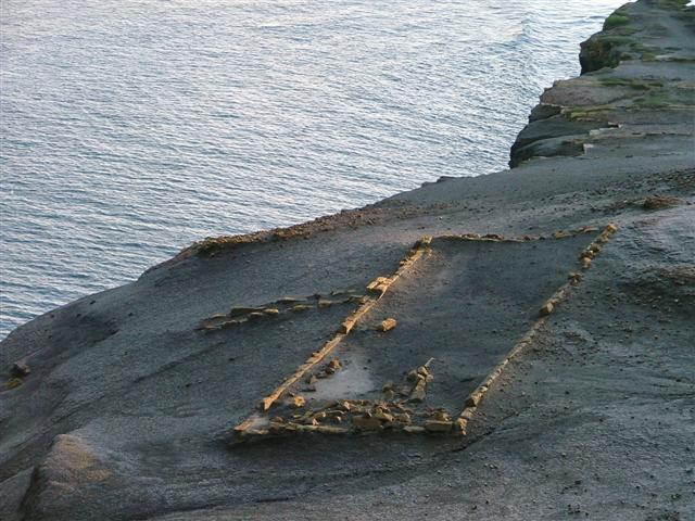
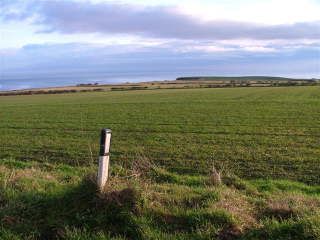
Lucky Dogs Holes Images
Images are sourced within 2km of 54.529477/-0.70479683 or Grid Reference NZ8315. Thanks to Geograph Open Source API. All images are credited.
Lucky Dogs Holes is located at Grid Ref: NZ8315 (Lat: 54.529477, Lng: -0.70479683)
Division: North Riding
Administrative County: North Yorkshire
District: Scarborough
Police Authority: North Yorkshire
What 3 Words
///buck.lavished.leaned. Near Whitby, North Yorkshire
Nearby Locations
Related Wikis
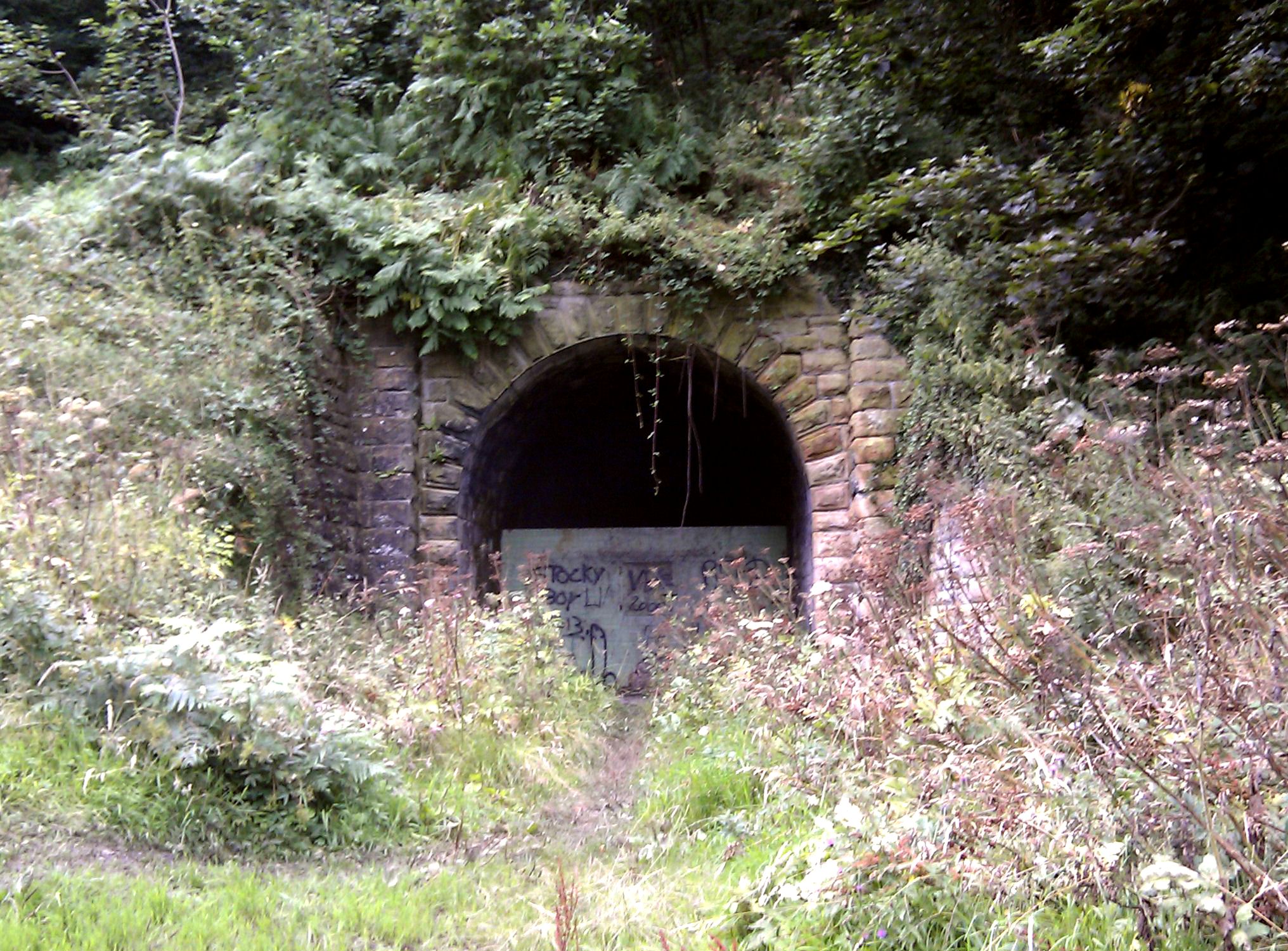
Sandsend Tunnel
Sandsend Tunnel is a tunnel on the former Whitby, Redcar and Middlesbrough Union Railway that was opened in 1883 and closed in 1958. The rail line that...

Kettleness railway station
Kettleness was a railway station on the Whitby, Redcar and Middlesbrough Union Railway from 1883 to 1958 serving the remote village of Kettleness. The...

Kettleness
Kettleness, is a hamlet in the Scarborough District of North Yorkshire, England. The settlement only consists of half-a-dozen houses, but up until the...
Goldsborough, Scarborough
Goldsborough is a small hamlet in the civil parish of Lythe, North Yorkshire, England within the North York Moors National Park. It is situated a few miles...

RAF Goldsborough
Royal Air Force Goldsborough or more simply RAF Goldsborough is a former Royal Air Force station located in North Yorkshire, England. == History == It...

Hob Holes
The Hob Holes are caves in the cliffs of Runswick Bay, Scarborough, England which resulted from mining for jet – fossilised wood which is valuable as a...
Sandsend Ness
Sandsend Ness is an old alum quarrying site close to Whitby in North Yorkshire, England. Beneath extensive deposits of grey pyritic shale a thin band of...

Lythe
Lythe is a small village and large civil parish, in North Yorkshire, England, situated near Whitby within the North York Moors National Park. The name...
Nearby Amenities
Located within 500m of 54.529477,-0.70479683Have you been to Lucky Dogs Holes?
Leave your review of Lucky Dogs Holes below (or comments, questions and feedback).